52 min walk
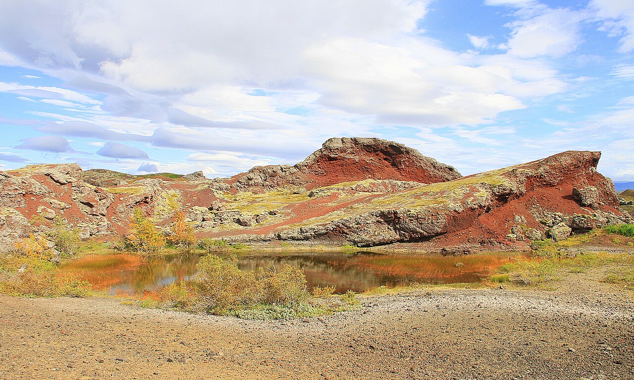
Rauðhólar
- Must see
- Nature site
Nature site · Reykjavik
Heiðmörk was proclaimed a municipal conservation area of Reykjavík in 1950. It lies south-east of Elliðavatn, about 10 kilometres from central Reykjavík, and covers a total of 3,200 hectares. Its name derives from Hedmark in Norway, an area with deep forests. Heiðmörk is a popular recreational area and is also where Reykjavík's water reservoirs and drinking-water wells are located. Tree planting began in the summer of 1949, and the Reykjavík Forestry Association has supervised and managed the afforestation from the start; in recent years its work has turned to managing a much-visited outdoor forest.
Checked 2026-11-10 · Source
More than 4 million trees have been planted in Heiðmörk since 1950. The most prominent of its 26 tree species is the Sitka spruce, and at least 150 wild flower species have been counted. The forest now covers 820 hectares of conifer and 650 hectares of birch. More than 60 species of wild birds have been recorded, especially around Elliðavatn and Myllulækjartjörn. A notable natural formation is Rauðhólar, a cluster of red-coloured pseudocraters. Around 140 plots are allotted to associations and groups that plant trees and keep the area clean, and paths, rest stops and educational and information signs have been built for visitors.
Checked 2026-11-10 · Source
About 10 kilometres.
The conservation area covers 3,200 hectares.
Loading the interactive map…
The interactive map could not be loaded.
Last updated:
Source: OpenStreetMap contributors, Wikidata ·