


273 min walk
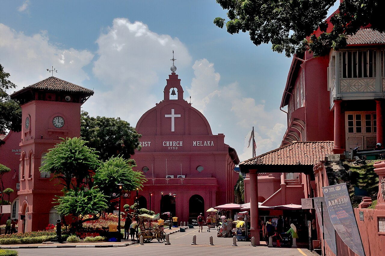
Christ Church
- Notable
- Place of worship

Viewpoint · Auckland
Not recorded

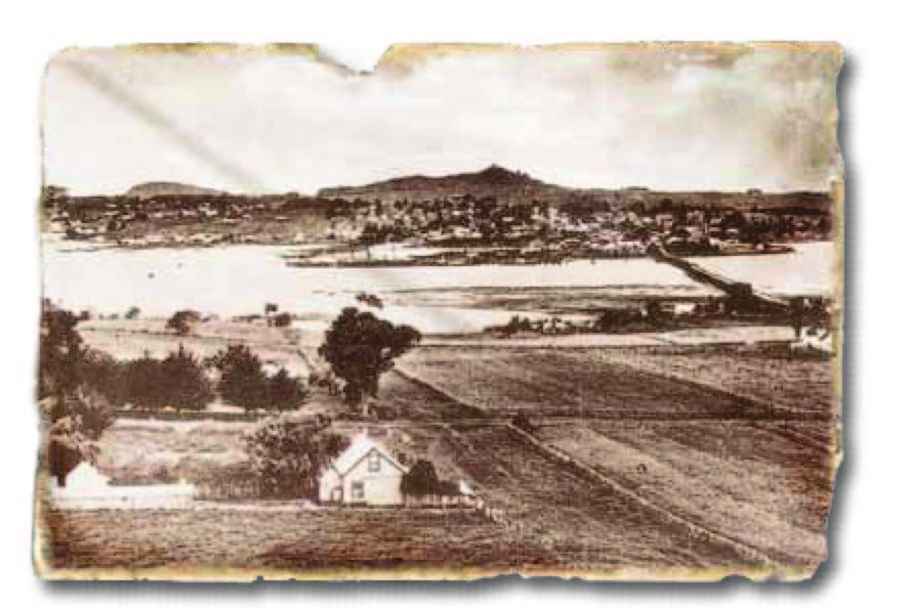
Maungakiekie / One Tree Hill is an ancestral maunga and an extensively developed Māori pā, not merely a lookout or a drive-up monument. The Tūpuna Maunga Authority manages the maunga and the western reserve; neighbouring Cornwall Park has a separate manager. The tihi, or summit, carries both a 21-metre obelisk and a grove of native trees planted in 2016 after the former Monterey pine was removed in 2000. Understanding that layered history changes how to visit: walk on formed routes, make time for the wider landscape, and do not treat the old vehicle-gate schedule as a timetable for access on foot.
Checked 2026-10-08 · Source

The main experience is the ascent through a historic volcanic and archaeological landscape to the tihi. The authority identifies terraces, storage pits and former defended summit areas from one of Auckland's largest pā complexes; these features survive but are vulnerable to erosion. Look from the formed route rather than stepping onto or through them. At the top, the obelisk commemorates Māori people and the newer grove recalls the site's history of single trees. Cornwall Park wraps around the lower slopes but is managed separately. Te Whatu Stardome and event venues nearby have their own programmes and access rules; their buildings are not part of a general summit walk.
Checked 2026-10-08 · Source
Allow about ninety minutes for a first visit to the summit and return, as a practical planning estimate. Auckland Council lists a formed Maungakiekie / One Tree Hill path of about 3.0 kilometres and fifty minutes, and warns that parts are steep. Add time for the climb at your pace, views, reading the landscape and staying on the designated route rather than cutting across fragile earthworks. The official path figure is not a promise that every visitor will finish in fifty minutes. If mobility or weather makes the ascent slower, plan the lower reserve separately and confirm any special vehicle access before departure.
Checked 2026-10-08 · Source
The displayed automatic-gate hours refer to vehicle access at the lower entrance, not to a confirmed pedestrian opening schedule for the tihi. The Tūpuna Maunga Authority lists 07:00–20:30 in the daylight-saving season and 07:00–19:00 in the standard-time season, and says event activity can alter the gate times. Those spans must not be read as a guarantee that the summit is open to walkers throughout them or closed outside them. Choose a visit with enough daylight for the steep path, then check the authority's current notices and on-site signs. The authority says the tihi remains accessible during the announced Haydn Avenue works, subject to temporary route changes.
Checked 2026-10-08 · Source
Separate a walk on the maunga from any nearby programme before budgeting. The Tūpuna Maunga Authority's Maungakiekie page gives no general admission tariff for the tihi walk; it publishes vehicle-gate hours, parking and site rules instead. An absent price is not proof that a separately organised event is free or open without booking. Te Whatu Stardome and other nearby venues set their own terms, so check with the organiser for a particular show. There is no ordinary private-car ticket to the summit: the summit road and tihi are closed to general vehicles, with an advance-arranged limited-mobility exception.
Checked 2026-10-08 · Source
Use 670 Manukau Road as the authority's main address, then follow the formed approach to the summit. General private vehicles, motorbikes and scooters cannot drive up the summit road; parking is provided near its entrance and time limits apply. The authority describes a limited-mobility exception for people who cannot walk to the tihi: arrange the gate code with Auckland Council before travelling rather than trying the barrier. Its Haydn Avenue notice, dated 31 August 2026, warned of partial road closures and temporary changes to parking, pedestrian routes and vehicle access during an upgrade anticipated from September. It said the maunga and summit would remain open, but visitors should follow current signs and staff directions.
Checked 2026-10-08 · Source
Stay on formed paths around the terraces, pits and craters: the authority says these archaeological features are sensitive to erosion and must not be walked on or through. Keep dogs under control on a lead, and away from the playground. The uphill route includes steep sections; the accessible-vehicle exception is for visitors with limited mobility who cannot safely walk it and requires advance arrangement, not a general driving route. Haydn Avenue construction may temporarily shift parking or pedestrian access even while the summit remains open. Do not infer a pedestrian closing time from the lower vehicle gate. Check current authority notices and follow signs on site rather than relying on an old route description.
Checked 2026-10-08 · Source
The formed summit approach offers views across Auckland, with the obelisk and the 2016 native tree grove giving the tihi its recognisable outline. Photograph from the path or other open visitor surfaces so the image does not come at the cost of stepping onto pā terraces, storage pits or crater edges. The authority treats these remains as fragile and asks visitors not to walk through them. Leave space for other walkers on the narrow, steep sections and take changing weather into account before stopping for a photograph. For organised or commercial filming, ask the authority what permission is required.
Checked 2026-10-08 · Source
No. The authority labels its summer 07:00–20:30 and winter 07:00–19:00 spans as automatic vehicle-gate hours. They do not establish a general pedestrian timetable for the tihi; check current notices and signs.
Ordinary private cars, motorbikes and scooters cannot use the summit road. The authority describes an exception for visitors with limited mobility who cannot walk to the tihi; arrange a gate code with Auckland Council before travelling.
Auckland Council lists a 3.0-kilometre formed path taking about fifty minutes and notes steep sections. This page allows about ninety minutes for a first visit and return, including time to pause and follow the protected route.
The authority announced partial road closures and possible changes to parking and pedestrian access during an upgrade anticipated from September 2026. It said the maunga and tihi would remain open; follow current signs and updates.
No. These pā earthworks are vulnerable to erosion. The authority asks visitors to remain on formed routes and not walk on or through the terraces, pits and craters.
The former Monterey pine was removed in 2000. The authority planted three tōtara and six pōhutukawa on the tihi in 2016, intending that a single tree eventually remain when it can survive on its own.
Loading the interactive map…
The interactive map could not be loaded.
Last updated:
Source: OpenStreetMap contributors, Wikidata ·