.JPG)
29 min walk
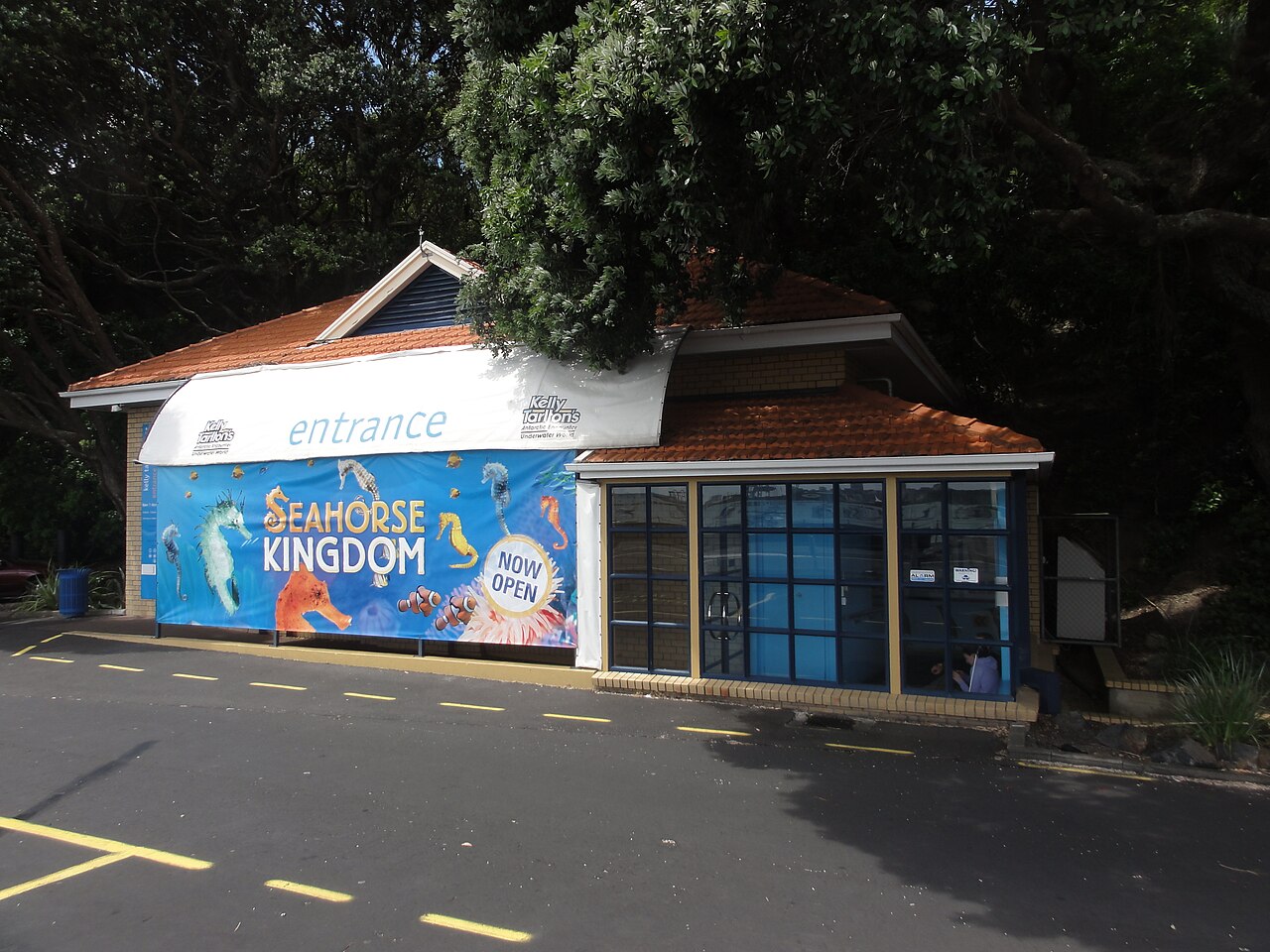
Kelly Tarlton's Sea Life Aquarium
- Must see
- Family attraction
Viewpoint · Auckland
| Monday | 00:00 – 23:59 |
|---|---|
| Tuesday | 00:00 – 23:59 |
| Wednesday | 00:00 – 23:59 |
| Thursday | 00:00 – 23:59 |
| Friday | 00:00 – 23:59 |
| Saturday | 00:00 – 23:59 |
| Sunday | 00:00 – 23:59 |
Checked 2026-08-31 · Source
| Per person | Free entry |
|---|
Checked 2026-08-31 · Source
Read from the OpenStreetMap access tags; anything not listed has no tag recorded.
Set the group type to family in the planner and the day window contracts to about three quarters of a solo day.
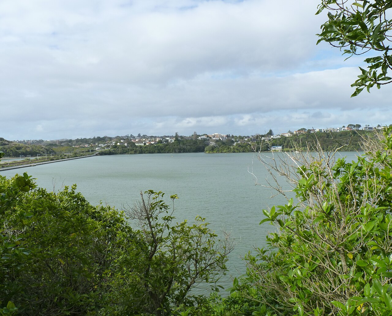
Ōrākei Basin is a tidal estuary located in the Auckland suburb of Ōrākei, on New Zealand's North Island. It forms part of the Waitematā Harbour system and represents a significant geological feature resulting from volcanic and marine processes. The basin is surrounded by residential areas and serves as both an ecological habitat and recreational space for the local community. Its tidal nature means water levels fluctuate, creating changing conditions throughout the day. Pedestrian access: 24 hours daily. No regular closure day. Pedestrian access: 24 hours daily. Ōrākei Road car park: 07:00–21:00 daily.
Checked 2026-08-31 · Source
The basin contains tidal mudflats, mangrove margins, and coastal vegetation that support various bird species and marine life. A walking track circumnavigates the basin, providing access for pedestrians and cyclists. The surrounding area includes grassed reserves and viewing points. The Ōrākei Basin Bridge, a pedestrian and cycling bridge, spans the narrow channel connecting the basin to the Waitematā Harbour. Residential properties line much of the perimeter. The ecological features vary with tidal states, exposing different habitats at low and high water. No regular closure day. The published 07:00–21:00 hours apply to the vehicle car park; pedestrian entrances remain available at all times.
Checked 2026-08-31 · Source
A complete circuit of the basin walkway typically requires between forty minutes and one hour at a moderate pace, depending on stops for observation and photography. Visitors seeking to observe tidal changes or birdlife may wish to allocate additional time. The walk can be extended by connecting to broader Auckland coastal pathways. No guided tours or structured programs operate within the basin. Individual pacing and interests determine appropriate duration. Free general admission to the reserve and walking path.
Checked 2026-08-31 · Source
The basin is accessible at all hours as a public outdoor space. Tidal patterns significantly affect the visual character and ecological activity, with low tide exposing mudflats and high tide creating a more flooded appearance. Dawn and dusk periods may offer enhanced birdwatching opportunities. Pedestrian access: 24 hours daily. Ōrākei Road car park: 07:00–21:00 daily. The complete Ōrākei Basin Path is not wheelchair accessible. The circuit includes steep sections and stairs, particularly near the Lucerne Road entrance behind the Auckland Water Ski Club.
Checked 2026-08-31 · Source
No entry fee applies to access Ōrākei Basin or its walkway. The basin functions as public open space without ticketed entry points. Parking in surrounding streets is generally unrestricted, though standard Auckland parking regulations apply. No commercial concessions operate within the basin requiring payment. Visitors should be prepared for self-sufficient visits without on-site facilities. Free general admission to the reserve and walking path. The complete Ōrākei Basin Path is not wheelchair accessible. The circuit includes steep sections and stairs, particularly near the Lucerne Road entrance behind the Auckland Water Ski Club.
Checked 2026-08-31 · Source
Ōrākei Basin is located approximately five kilometres east of Auckland's central business district, in the suburb of Ōrākei. Public bus services operate along Tamaki Drive and adjacent roads, with stops requiring walking distance to basin access points. The area is accessible by private vehicle with street parking available. Auckland Council suggests starting at Purewa Road in Meadowbank. Meadowbank Station connects to the path via Purewa Road, while Ōrākei Station connects from the western side beside the railway. Other pedestrian entrances are on Ōrākei, Upland, Lucerne and Meadowbank roads. The vehicle car park is reached from the bottom of Ōrākei Road along a narrow road shared with pedestrians.
Checked 2026-08-31 · Source
Tidal conditions create variable footing on mudflats and margins, with potential for soft or slippery surfaces. The basin is an active tidal waterbody with no lifeguard services; water entry is not advised. Cyclists and pedestrians share sections of pathway, requiring mutual awareness. Limited shade exists along exposed sections of track. Weather conditions can change rapidly in Auckland's coastal environment. The complete Ōrākei Basin Path is not wheelchair accessible. A pram can be manoeuvred through the difficult sections, but Auckland Council warns that they may challenge less-confident walkers. Other portions use paved, gravel and boardwalk surfaces along the water.
Checked 2026-08-31 · Source
The basin offers landscape photography opportunities encompassing tidal waters, volcanic landforms, harbour views, and urban-residential interface. The pedestrian bridge provides elevated vantage points. Bird photography is possible, particularly at margins during appropriate tidal states. Lighting conditions vary significantly with time of day and weather, with morning and evening potentially offering favourable directional light across water surfaces. No restrictions on photography are indicated, though standard respect for private residential boundaries applies. Tripod use on shared pathways should not obstruct passage. Other portions use paved, gravel and boardwalk surfaces along the water.
Checked 2026-08-31 · Source
The Ōrākei Basin Path is a 2.9-kilometre circuit that Auckland Council estimates takes 45 minutes.
No. The full circuit is not wheelchair accessible because it includes steep sections and stairs, including near Lucerne Road behind the Auckland Water Ski Club.
Pedestrian entrances are available from Ōrākei Road, Upland Road, Lucerne Road, Meadowbank Road and Purewa Road.
Dogs may be off leash at all times in the designated western and eastern reserve areas between the Ōrākei Road car park and the Upland-to-Lucerne pathway; dogs must remain on leash in all other areas.
The western boat ramp provides access for kayaking and stand-up paddleboarding. Swimming, fishing and activities outside the basin’s permitted powered and non-powered vessel uses require prior written Auckland Council approval.
The reserve has parking, seating, a boat ramp, a wharf and a jetty. The car park is at the end of the narrow access road from Ōrākei Road and operates from 07:00 to 21:00 daily.
Loading the interactive map…
The interactive map could not be loaded.
Last updated:
Source: OpenStreetMap contributors ·