Commercial Bay
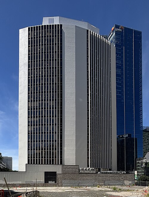
Commercial Bay is a central-city retail and dining complex. The principal reason to include it is its interior public spaces, food venues, shops, and downtown connections.
- Must see
- Market
City guide · New Zealand
Auckland is organised by two harbours, volcanic terrain and a narrow urban isthmus. The city centre descends to the Waitematā waterfront, while Ponsonby, Parnel...
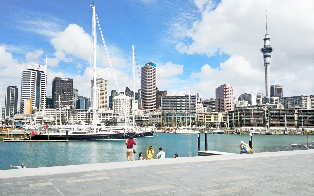
Photograph · ChewyPineapple · CC BY-SA 3.0
Set your days, your pace and the hours you actually want to be out. The planner works around closing days and travel time, and leaves room to eat.
Reviewed by Elena Voss · Roavina Travel Editor
Auckland is organised by two harbours, volcanic terrain and a narrow urban isthmus. The city centre descends to the Waitematā waterfront, while Ponsonby, Parnell and Newmarket sit on separate ridges. Devonport and the harbour islands require water crossings, and the west-coast beaches lie beyond the central public-transport pattern. A useful visit therefore alternates compact neighbourhood walks with planned outward journeys.
Checked 2026-08-26
September · September reaches only 16.4°C by day in Auckland and falls in spring, the region's generally windiest season.
Ranked by importance — sitelinks, pageviews and heritage status, not editor preference.
1 place matches
Category
Typical visit duration
Interests
Commercial Bay is a central-city retail and dining complex. The principal reason to include it is its interior public spaces, food venues, shops, and downtown connections.
Combine the central waterfront, Britomart and nearby city sights before climbing into an inner neighbourhood. Put Devonport or another harbour destination into a ferry-led block whose return sailing is known in advance. Western beaches need a dedicated excursion and should not share a day with island travel. This structure avoids repeatedly crossing the city and makes Auckland's geography part of the plan rather than an afterthought.
Checked 2026-08-26
Auckland's centre is walkable but steep in places. Buses and trains connect the urban isthmus, while ferries are part of the everyday network for Devonport and selected islands. Match the mode to the geography: rail or bus for inland corridors, ferry for harbour crossings, and a separately checked connection for western landscapes. Consult Auckland's official visitor transport guidance and current operator timetables before departure.
Checked 2026-08-26
No official city-wide duration is recorded. Begin with the centre and Waitematā waterfront, then add an inner neighbourhood, a ferry destination or a west-coast outing according to the days available.
Plan the waterfront and central streets together. Use separate blocks for ridge-top neighbourhoods and for any harbour island, because ferry timing changes the shape of that day. Keep the west coast independent from both.
Walk in the centre, use buses or trains along the isthmus and take ferries for harbour destinations. Check the official journey information for the exact sailing or connection rather than treating every Auckland trip as a road journey.
The centre and waterfront join naturally on foot, although the climb to surrounding ridges is noticeable. Devonport, the islands, outer suburbs and western beaches all require transport beyond a central walking circuit.
Harbour islands and west-coast beaches need separate planning. Confirm ferry returns for island visits and the full outward-and-back connection for regional landscapes before committing the day.