76 min walk
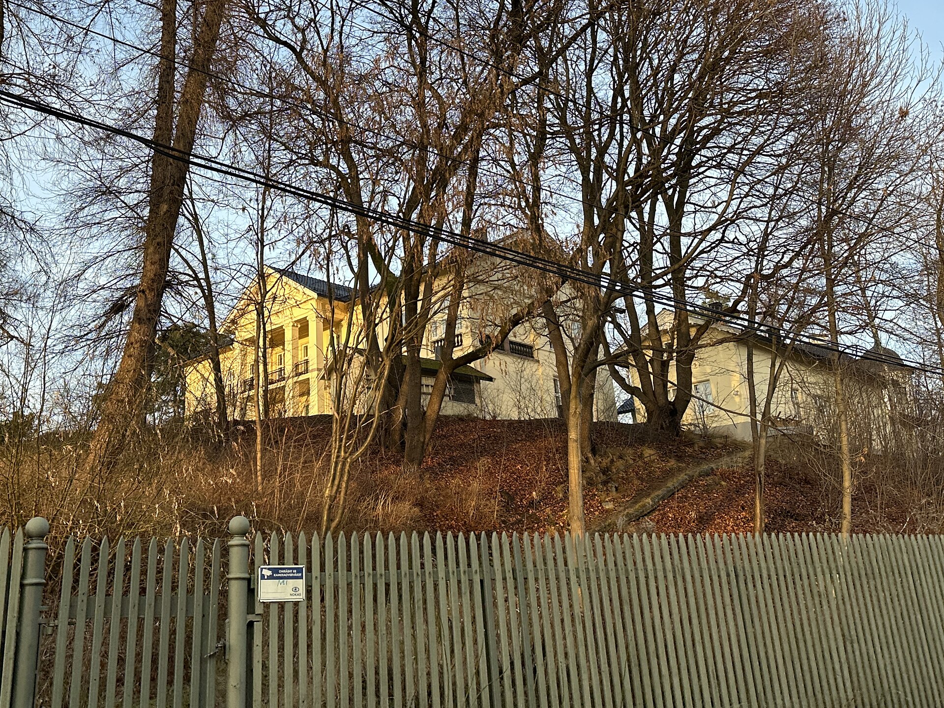
Madserud gård
- High
- Historic site
Nature site · Oslo
Kværnerparken is a small park at Kværner in the Gamle Oslo borough, bounded by the junction of Eirik Raudes vei and Enebakkveien at its lower, north-western side and by Konows gate at its upper, south-eastern edge. To the west and north-west lies the former Kværner industrial area, rebuilt as housing in the 2000s. The park was laid out in 1922 with support from the Society for the Welfare of Oslo and the Kværner Brug works, and when it was created a small plateau with benches was made in its upper part. Today it covers 3.5 decares of municipal land and was upgraded in 1994 as part of the Miljøbyen Gamle Oslo programme.
Checked 2026-11-05 · Source
In 1922, when it covered 3.1 decares.
Loading the interactive map…
The interactive map could not be loaded.
Last updated:
Source: OpenStreetMap contributors, Wikidata ·