

%26SVicente2007.jpg)
.jpg)


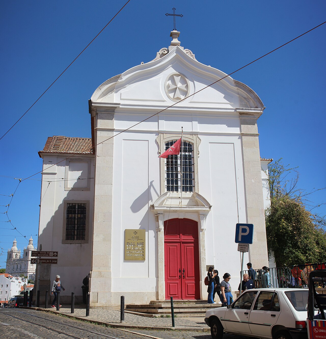
1 min walk
Igreja de Santa Luzia
- High · Heritage site
- Place of worship
Language · 11 published
Viewpoint · Lisbon
Reviewed by Elena Voss · Roavina Travel Editor
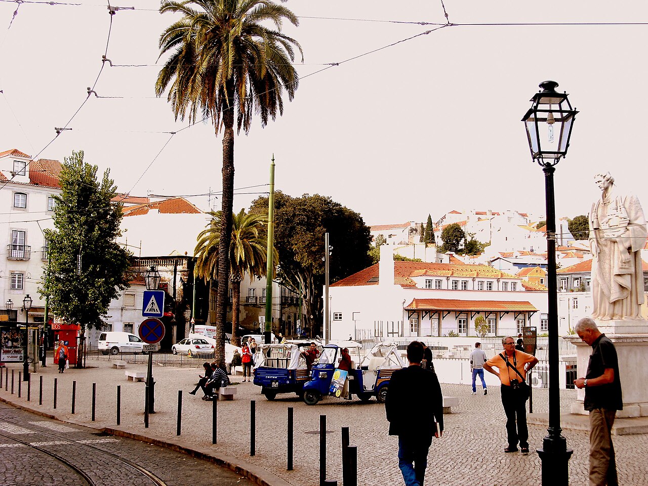
This place is a Viewpoint.
Miradouro das Portas do Sol is one of Lisbon’s classic viewpoints, set above the historic Alfama district. From its terrace, the city falls toward the Tagus, with tiled roofs, church domes, and layered hills forming the panorama. The overlook captures Lisbon’s distinctive relationship with elevation, water, and dense historic neighborhoods, making it a natural pause during a walk through Alfama. Miradouro das Portas do Sol is a scenic overlook in Lisbon's historic Alfama district. The name translates to Viewpoint of the Gates of the Sun, referencing its position where medieval city walls once featured gates. It offers expansive views over the Tagus River, the terrac rooftops of Alfama, and the domes of churches including São Vicente de Fora and the National Pantheon. The viewpoint sits on a slope descending toward the river, capturing Lisbon's characteristic topography of hills and valleys that define the city's visual identity. The viewpoint involves sloped approaches and cobblestone surfaces that may present challenges. Direct verification of current accessibility provisions is advised.
Checked 2026-08-26 · Source
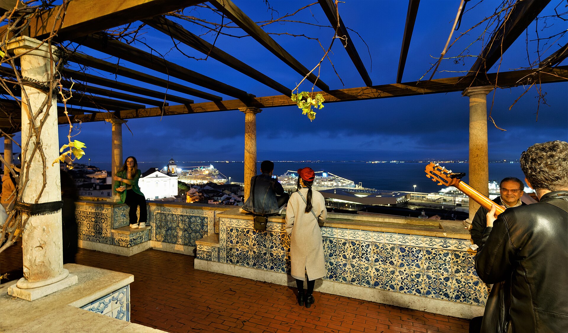
There is no enclosed museum or gallery at the viewpoint. The main feature is a paved terrace with a low wall, a prominent statue of Saint Vincent, and broad views over Alfama and the Tagus. Nearby streets lead past traditional houses, cafés, small shops, restaurants, and fado venues. The overlook works as an urban balcony connected directly to the surrounding historic fabric. The viewpoint features a paved terrace with a low wall where visitors stand to absorb the panorama. A statue of Saint Vincent, Lisbon's patron saint, stands prominently. The terrace connects to adjacent streets of Alfama, with traditional houses, small shops, and cafés in the immediate vicinity. The area retains dense residential character alongside tourist activity. No enclosed building or visitor center occupies the viewpoint itself. The surrounding streets contain fado venues, restaurants, and the remains of Moorish-influenced urban fabric that predates much of Lisbon's downtown reconstruction.
Checked 2026-08-26 · Source
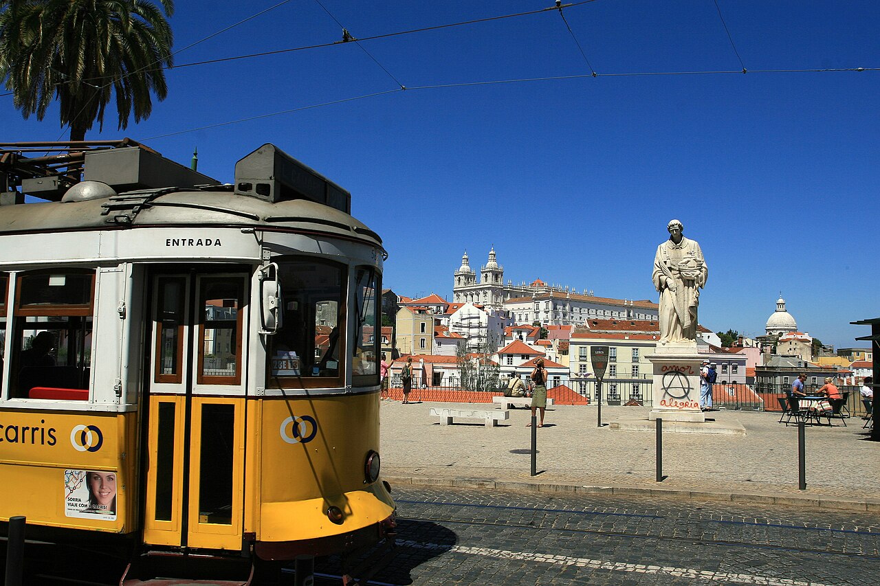
Allow fifteen to thirty minutes at the terrace for the main view and photographs. The viewpoint is most satisfying as part of a longer Alfama route rather than as an isolated destination. Continue toward São Jorge Castle, Lisbon Cathedral, Santa Luzia, or the Feira da Ladra area to turn the stop into a substantial neighborhood walk. Descending toward the river adds another perspective on the district. A visit to Miradouro das Portas do Sol requires limited dedicated time at the overlook itself, typically fifteen to thirty minutes for viewing and photography.
Checked 2026-08-26 · Source
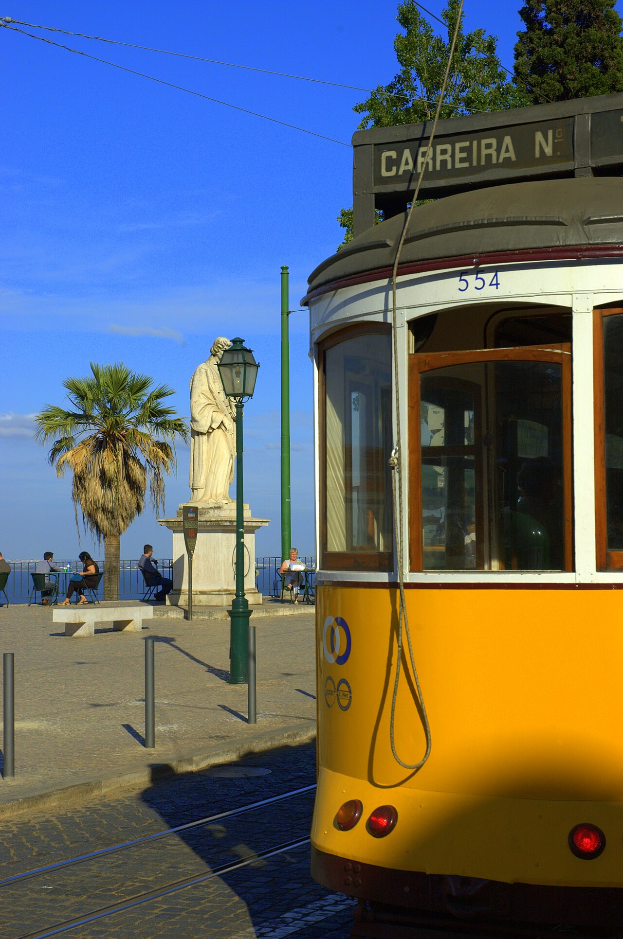
Early morning brings softer light and more space around the terrace. Midday gives a bright view of the river and pale rooftops, while sunset creates the busiest atmosphere and warmest architectural tones. Evening offers city lights and a different mood. Rain, mist, and low cloud can reduce the panorama, so clear weather is especially valuable when the viewpoint is the main reason for your walk.
Checked 2026-08-26 · Source
The overlook is an open public terrace reached directly from Alfama’s streets, with no enclosed attraction at the viewpoint itself. Your visit therefore centers on the public panorama rather than an admission-controlled exhibition. Money is more relevant for the cafés, restaurants, and other businesses nearby. Santa Luzia and the surrounding streets can be combined easily when planning a free scenic section of a Lisbon day.
Checked 2026-08-26 · Source
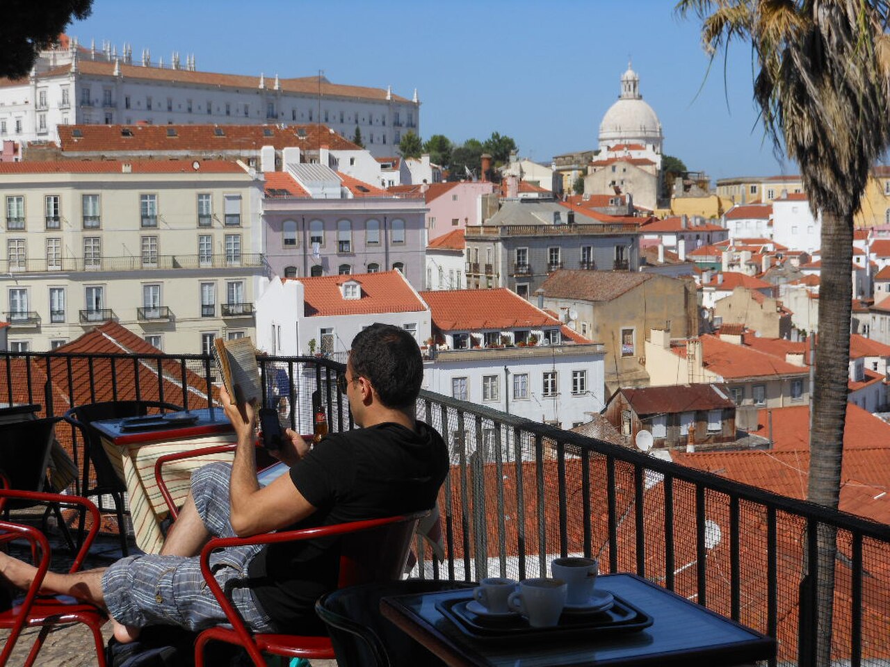
Reach the viewpoint by walking through Alfama from Baixa, São Jorge Castle, or the lower riverfront. The route involves hills and cobblestones, so footwear with secure grip matters. The 28 tram passes through the historic hill districts, while Santa Apolónia station is below and can be followed by an uphill walk. Taxis can approach nearby streets, but the final approach remains pedestrian and uneven.
Checked 2026-08-26 · Source

The terrace becomes crowded around sunset and during busy tourist periods, making the best edge positions difficult to hold. Keep valuables secure in dense crowds, and take care on wet cobblestones. The low wall is not a substitute for a barrier, so supervise children closely. Alfama’s narrow streets are uncomfortable for private cars, and evening visitors should remain aware of changing light and pedestrian congestion.
Checked 2026-08-26 · Source
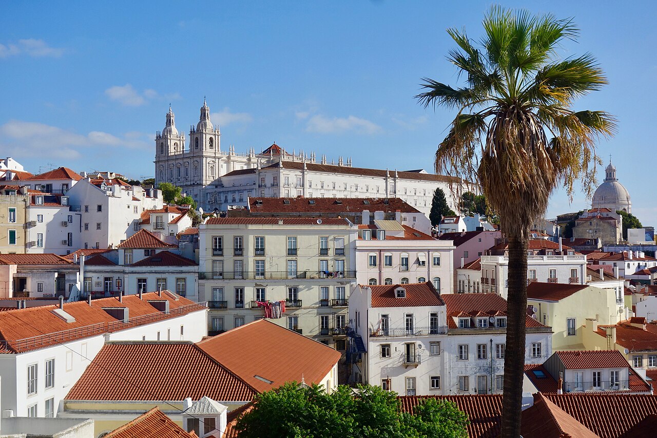
The standard composition places the Tagus in the foreground with Alfama’s rooftops and church domes layered behind it. Morning light illuminates the river, afternoon light emphasizes building texture, and sunset brings warmer color. Use the terrace wall as a steady camera rest when the space is busy. Nearby streets provide alternative frames with houses, stairways, and everyday Alfama life beyond the familiar overlook image.
Checked 2026-08-26 · Source
The terrace looks across Alfama’s tiled rooftops toward the Tagus River, with church domes and Lisbon’s layered hills visible in the panorama.
Allow fifteen to thirty minutes for the terrace, then continue through Alfama toward São Jorge Castle, Lisbon Cathedral, Santa Luzia, or the river.
Morning offers softer light and fewer people, while sunset gives warm tones but attracts the largest crowds. Clear weather produces the strongest panorama.
Walk uphill through Alfama from Baixa or the riverfront, descend from São Jorge Castle, or approach from Santa Apolónia. The final routes use hills and cobblestones.
The viewpoint is beside Alfama’s historic streets and close to Santa Luzia, with access toward São Jorge Castle, Lisbon Cathedral, fado venues, cafés, and restaurants.
Miradouro de Santa Luzia lies immediately adjacent and offers comparable views over Alfama and the river. Higher viewpoints include Miradouro da Graça and Senhora do Monte.
Loading the interactive map…
The interactive map could not be loaded.
Last updated:
Source: OpenStreetMap contributors ·