.jpg)


31 min walk
Night Market (Touristic)
- Notable
- Market
Language · 11 published
Nature site · Phuket
หาดบางเทา
Reviewed by Elena Voss · Roavina Travel Editor
Read from the OpenStreetMap access tags; anything not listed has no tag recorded.
Set the group type to family in the planner and the day window contracts to about three quarters of a solo day.
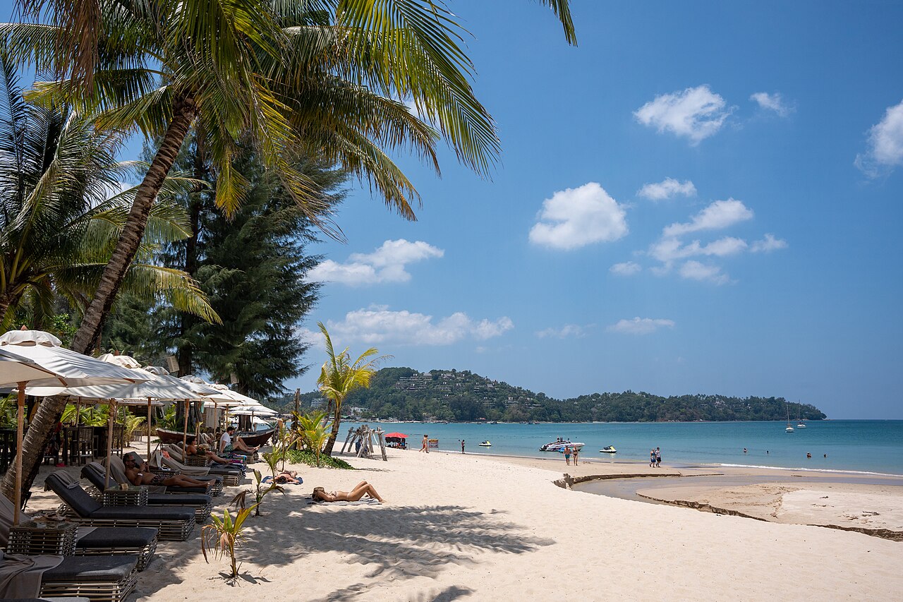
Bang Tao Beach is a long beach on Phuket’s north-west coast, surrounded by a substantial resort district. Its scale gives the shoreline a different character from Phuket’s smaller coves: visitors have room for beach walks, swimming, relaxation and sunset viewing, while nearby hospitality businesses support longer stays. The beach combines a natural sandy coast with a developed tourism environment, making it useful both as a stand-alone outing and as part of a north-west Phuket day. Bang Tao Beach is a major long north-west beach and resort district on Phuket island, Thailand. It holds island-wide visitor relevance as one of Phuket's significant coastal destinations. The beach stretches along the western coastline and serves as both a natural attraction and a developed tourism zone. The area combines beachfront access with resort infrastructure, making it a notable point of interest for visitors exploring Phuket's varied beach offerings. Its scale and facilities distinguish it from smaller beach locations on the island. Swimming occurs at Bang Tao Beach, but visitors should assess sea conditions personally. No specific safety infrastructure details are recorded. Standard coastal precautions apply.
Checked 2026-08-26 · Source
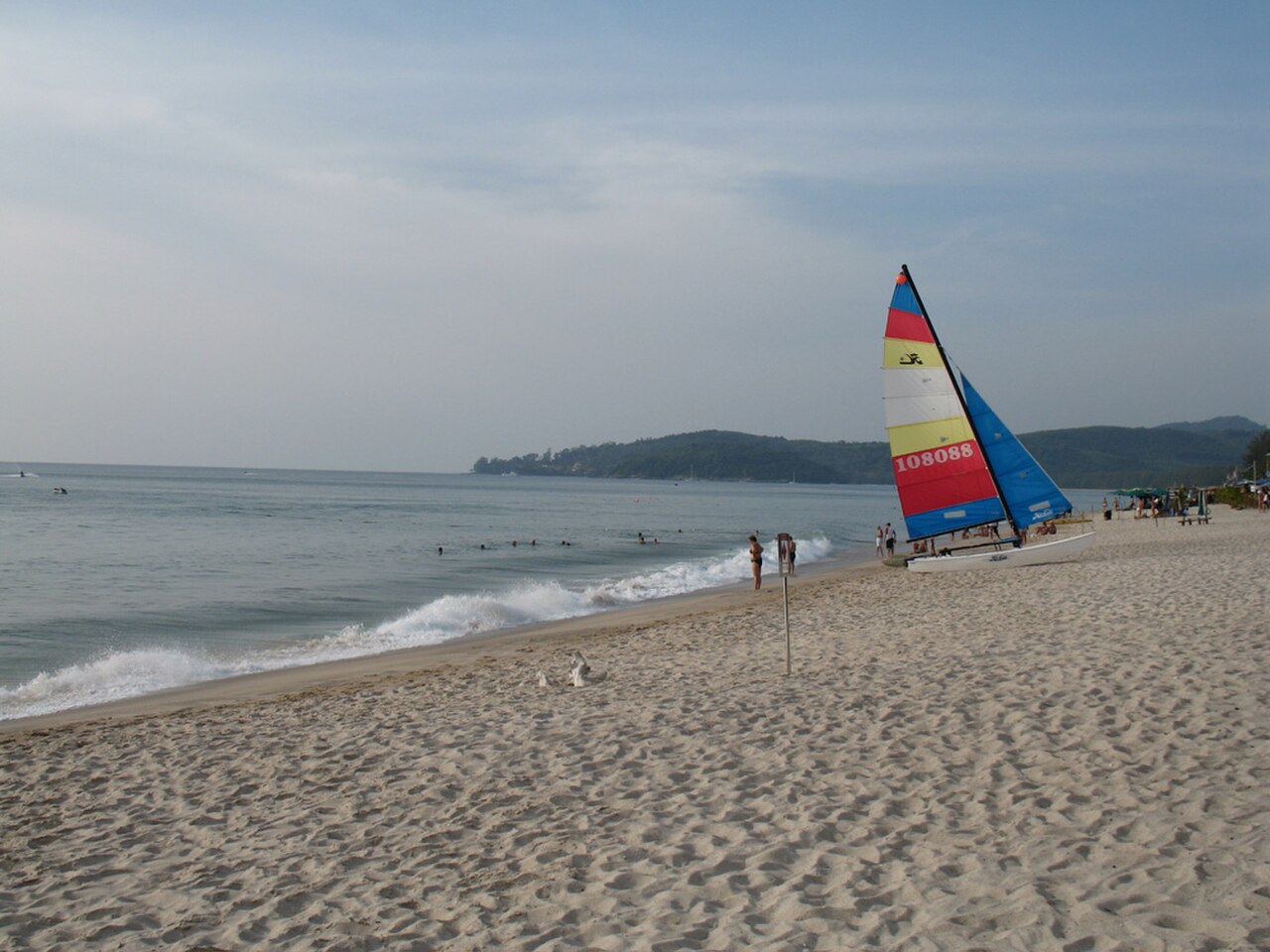
The main experience is the extensive sandy shoreline and its seafront views. Resort properties occupy parts of the surrounding district and provide hospitality services near the beach, while the coast itself remains the central public attraction. The long stretch of sand supports both active walking and quiet breaks. Visitors can combine natural scenery with nearby resort facilities, keeping in mind that services differ between individual properties and sections of the beach. The beach area comprises sandy shoreline and adjacent resort developments. Visitors can expect beachfront access along the extensive coastline. The surrounding district contains hospitality infrastructure serving beachgoers.
Checked 2026-08-26 · Source
A few hours suits a simple swim, walk or rest on the sand, while a full day works well for visitors adding meals, resort time or sunset viewing. Bang Tao’s length rewards an unhurried pace because the shoreline offers changing perspectives as you walk. Travellers staying nearby can return repeatedly rather than treating the beach as a single short stop. Build the day around the activity you want most: swimming, walking, relaxation or evening light.
Checked 2026-08-26 · Source
The north-west coast follows Phuket’s tropical seasonal pattern. Drier months generally attract more visitors, while the southwest monsoon season can bring rain, stronger waves and changing swimming conditions. Early morning is useful for a quieter walk and cooler temperatures. Afternoon suits visitors interested in the coast’s western light and sunset, provided sea conditions are comfortable. Tide, waves and weather can change the experience, so keep the plan flexible around the beach conditions you meet.
Checked 2026-08-26 · Source
The shoreline itself is a public coastal area with free informal beach access. Charges may apply for services offered by individual resorts or businesses, including optional equipment or facilities. General beach access does not require an advance booking. Budget for transport, food and any separate commercial service rather than an entrance ticket. If you use a resort facility, its terms belong to that property and are separate from access to the public shoreline.
Checked 2026-08-26 · Source
Bang Tao lies on Phuket’s north-west coast and is connected by road with Phuket Town, Patong and other island districts. Private vehicles and taxis provide direct access to the general beach area. Songthaew shared trucks are also part of Phuket’s transport landscape, although routes and availability vary. Resort guests may have shuttle options through their accommodation. Traffic can lengthen journeys from the southern or eastern side of the island, so leave room for road conditions.
Checked 2026-08-26 · Source
Bang Tao is an open coastal environment, so waves, currents, rips and changing tides require attention. Protect yourself from strong tropical sun during long beach stays and carry water when walking away from busy areas. The beach is extensive, meaning services may not be close to every section. Respect distinctions between public shore and resort property, and follow posted coastal warnings. Swimming conditions deserve more weight than the appearance of calm water from the sand.
Checked 2026-08-26 · Source
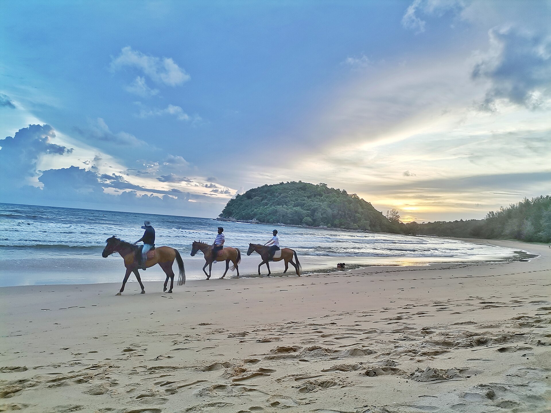
Bang Tao’s long shoreline creates many compositions: broad sea views, walking scenes, resort architecture and sunsets over the Andaman Sea. The north-west orientation is especially useful in the afternoon and evening, while early morning gives quieter beach photographs. Walk along the coast to vary the balance between sand, water and buildings. Protect equipment from sand and spray, and respect resort guests’ privacy. Drone flights must comply with Thai aviation rules and any local restrictions.
Checked 2026-08-26 · Source
Swimming takes place at Bang Tao, but visitors need to judge waves, currents, rips and tides before entering the sea.
Yes. The beach is a public coastal area with free informal access to the shoreline, separate from resort services and private facilities.
Allow a few hours for a basic beach visit, or a full day if you want swimming, a long walk, meals and sunset viewing.
It is known for its long north-west coastline, broad sandy beach and surrounding resort district.
Afternoon and evening offer western coastal light and sunset possibilities, while early morning gives quieter scenes along the sand.
Plan for tropical sun, changing sea conditions, walking distances along the extensive shore and separate rules for resort facilities.
Loading the interactive map…
The interactive map could not be loaded.

Last updated:
Source: OpenStreetMap contributors, Wikidata ·