
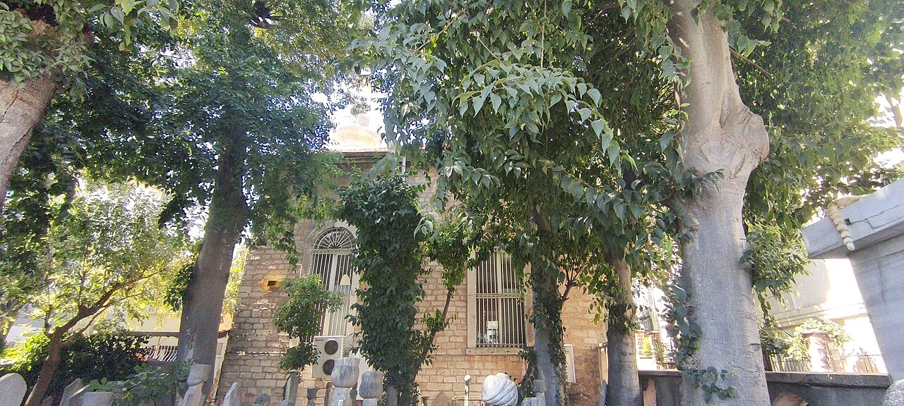
7 min walk · Fatih
Kasap İlyas Mosque
- Notable · Heritage site
- Place of worship
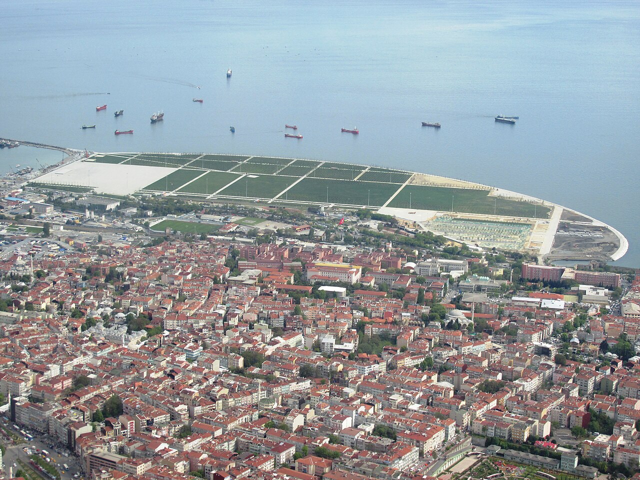
Nature site · Fatih, Istanbul
Yenikapı Şehir Parkı
Yenikapı Square on this page is the large waterfront space also known as Yenikapı Şehir Parkı and Yenikapı Event Area, on reclaimed land beside the Sea of Marmara in Fatih. It is not the indoor Yenikapı Metro and Marmaray interchange, nor is it the separate archaeological interpretation area near the station. An official 2026 Istanbul Metropolitan Municipality schedule lists Yenikapı Şehir Parkı among the municipality’s major squares, while municipal event reports identify the waterfront grounds as a festival and gathering venue.
The open space is used for large civic gatherings, fairs, festivals and temporary installations. Access conditions therefore change with each event. Event announcements can set their own opening times, ticket or registration rules, security controls, shuttle services and temporary closures. Those event hours do not become permanent opening hours for the square. The municipality does not publish a fixed year-round gate schedule or general admission fee for the whole waterfront space. Check the current İBB event announcement and on-site notices before travelling specifically for an organised programme.
Yenikapı station is the main public-transport reference point, but its operating hours belong to the transport system rather than the square. Metro İstanbul lists interchange at Yenikapı between M1A, M1B, M2, T6 and Marmaray. Allow additional time to walk from the station to the southern event area, and follow temporary wayfinding when organisers provide shuttle or controlled entrances.
Yenikapı’s archaeology is important but geographically distinct from the broad event grounds. Official accounts state that Metro and Marmaray excavations from 2004 to 2013 covered about 60,000 square metres, uncovered the Theodosian Harbour, 37 shipwrecks and evidence extending the city’s history to approximately 6200 BCE. These discoveries explain the wider district’s significance; they do not mean that the entire square is an open archaeological exhibit.
Checked 2026-09-06
Loading the interactive map…
The interactive map could not be loaded.
Last updated:
Source: OpenStreetMap contributors, Wikidata ·