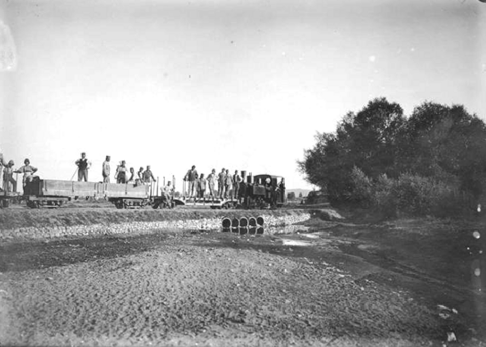
A photograph of Sarıgöl

District guide · Manisa

Sarıgöl

33 places catalogued in Sarıgöl so far.

Photograph · Unknown photographer · Public domain

33 Places

Turn this list into a plan

Set your days, your pace and the hours you actually want to be out. The planner works around closing days and travel time, and leaves room to eat.

Plan Sarıgöl

Practical information

Language spoken
Turkish
The official language of the Republic of Turkiye
Dialling code
+90 236
Manisa landlines; drop the leading 0 of 0236 when calling from abroad
Currency
Turkish lira (₺, TRY)
The official currency; one lira is divided into 100 kurus
Emergency number
112
One number for ambulance, fire and police
Plug type
European two-pin · 220 V
The national living guide records 220 V and European-style two-pin plugs
Tap water
Not recorded
No verified national source in the dataset

Top things to see

Ranked by importance — sitelinks, pageviews and heritage status, not editor preference.

  1. Hamam Tepe
    02 20 min

    Hamam Tepe

    Hamam Tepe is a natural mountain summit in Manisa Province, within the Bozdağlar range. At 800 metres, it is an open landscape rather than an enclosed attraction, museum or staffed visitor facility.

    • Notable
    • Viewpoint
  2. Kocagöl Tepe
    03 20 min

    Kocagöl Tepe

    Kocagöl Tepe is a mapped natural peak in Sarıgöl district of Manisa Province, near the named locality of Karacaali. Its identity is defined by open hillside and summit landscape rather than buildings, exhibitions or staffed visitor services.

    • Notable
    • Viewpoint

Source: OpenStreetMap contributors, Wikidata ·