155 min walk · Selendi
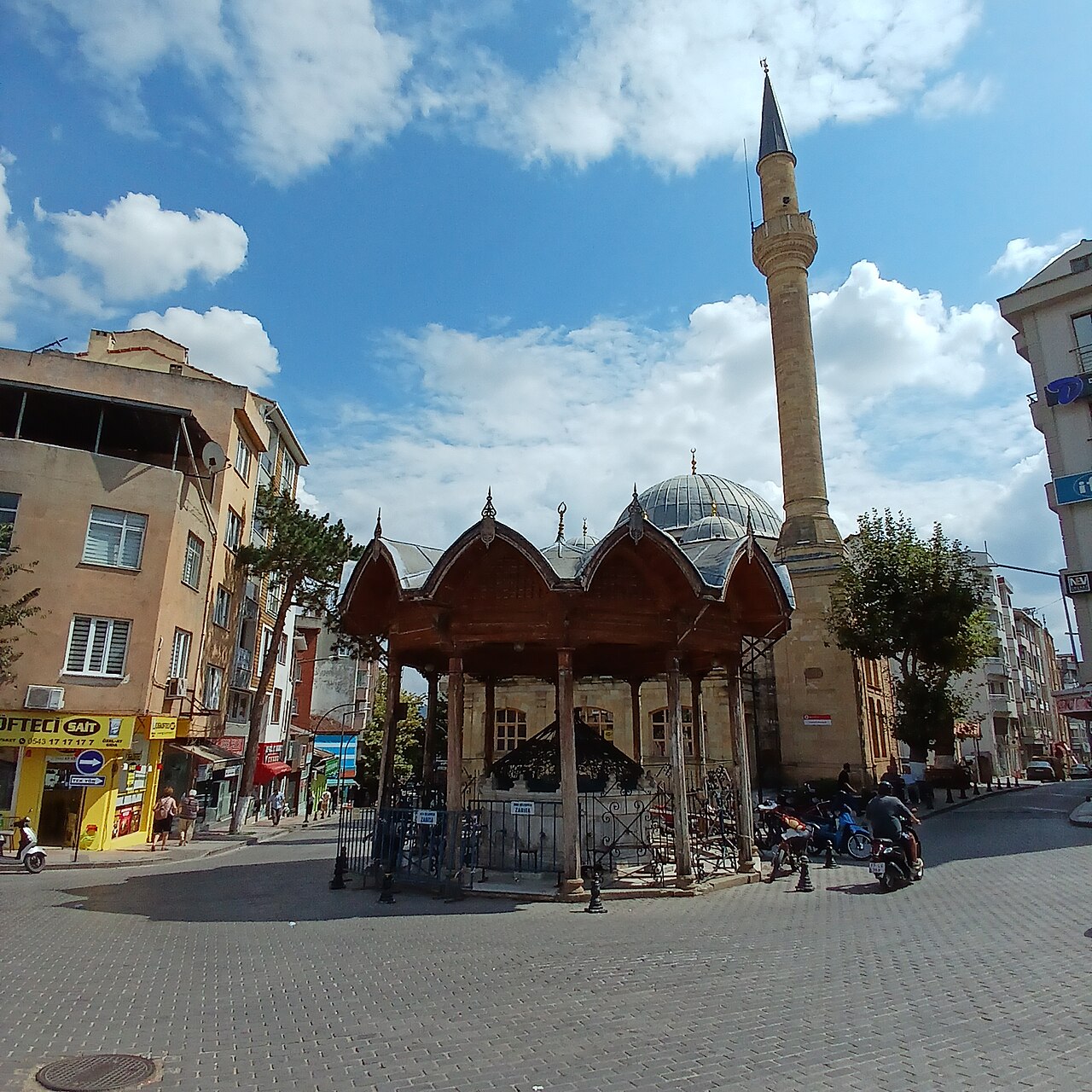
Çarşı Cami
- Notable
- Place of worship
Language · 11 published
Viewpoint · Selendi, Manisa
Reviewed by Elena Voss · Roavina Travel Editor
This place is a Peak.
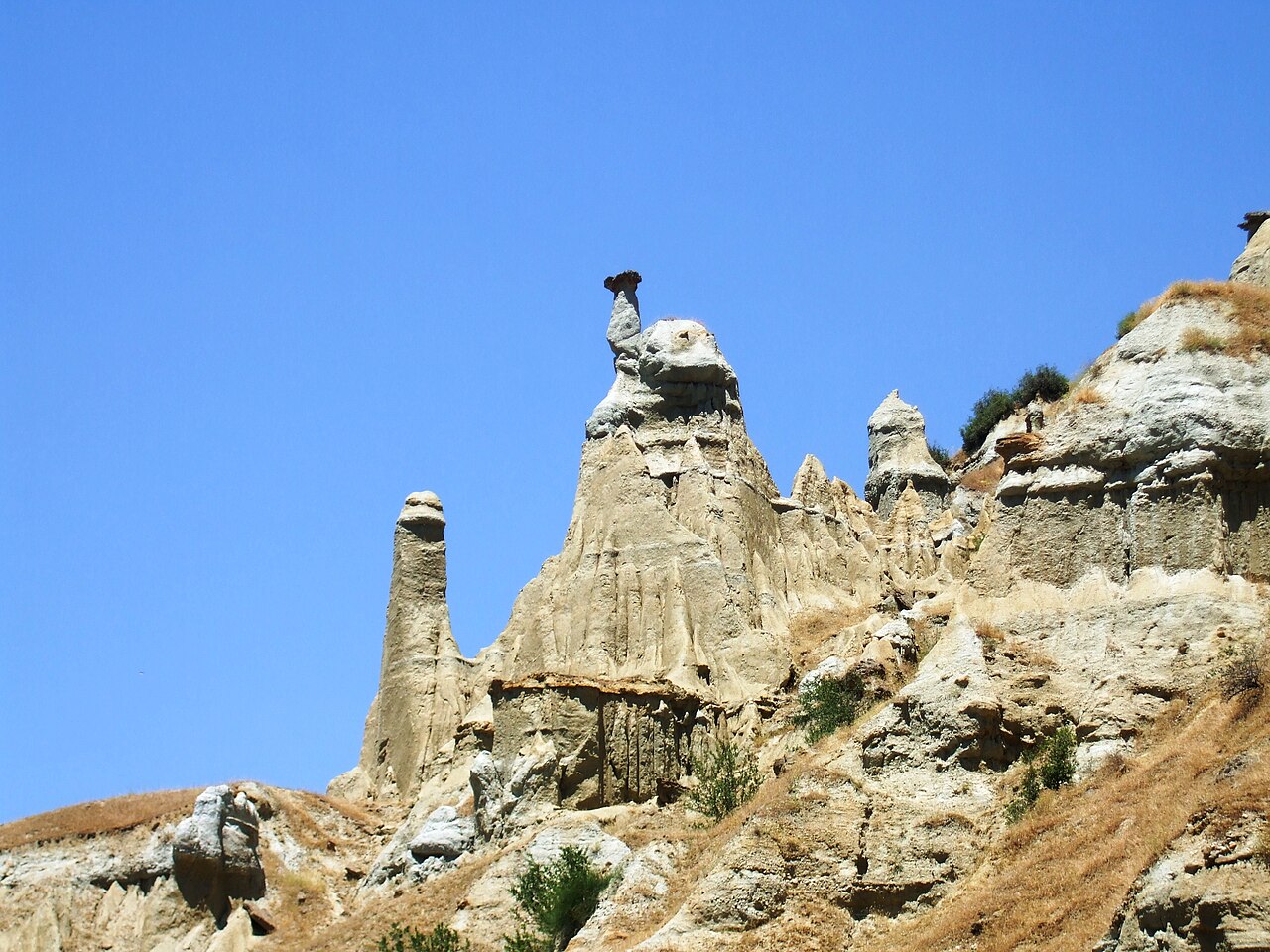
Yağcı Dağı is a 1,516-metre mountain in Selendi district of Manisa Province, among the principal elevations north of Selendi. Its appeal is the high, forested landscape rather than buildings or exhibitions. The mountain is used as a mesire place, and district information associates summer visits with clean water and natural surroundings. Come for woodland air, rural scenery and outdoor time in a distinctly local highland setting. Yağcı Dağı is a 1,516-metre mountain in the Selendi district area of Manisa Province, identified by the district governorate among the principal elevations north of Selendi. Its character is defined by high, forested terrain rather than a built attraction: the visit is about rural mountain scenery, woodland air and time outdoors. Official local information describes it as a mesire place and associates summer visits with its clean water and natural surroundings. That combination makes Yağcı Dağı a landscape destination with a distinctly local, highland identity. Manisa'nın Selendi ilçesi çevresindedir; Selendi Kaymakamlığı dağı ilçenin kuzeyindeki başlıca yükseltiler arasında gösterir. Selendi Kaymakamlığı Yağcı Dağı'nın yüksekliğini 1.516 metre olarak verir. Dağ, yüksek ve ormanlık bir mesire yeri olarak kullanılır; sıcak yaz aylarında temiz suyu ve doğal çevresiyle ziyaret edilir. Yağcı Dağı is in the Selendi district area of Manisa Province. Selendi District Governorate identifies it among the principal elevations north of Selendi.
Checked 2026-09-02 · Source
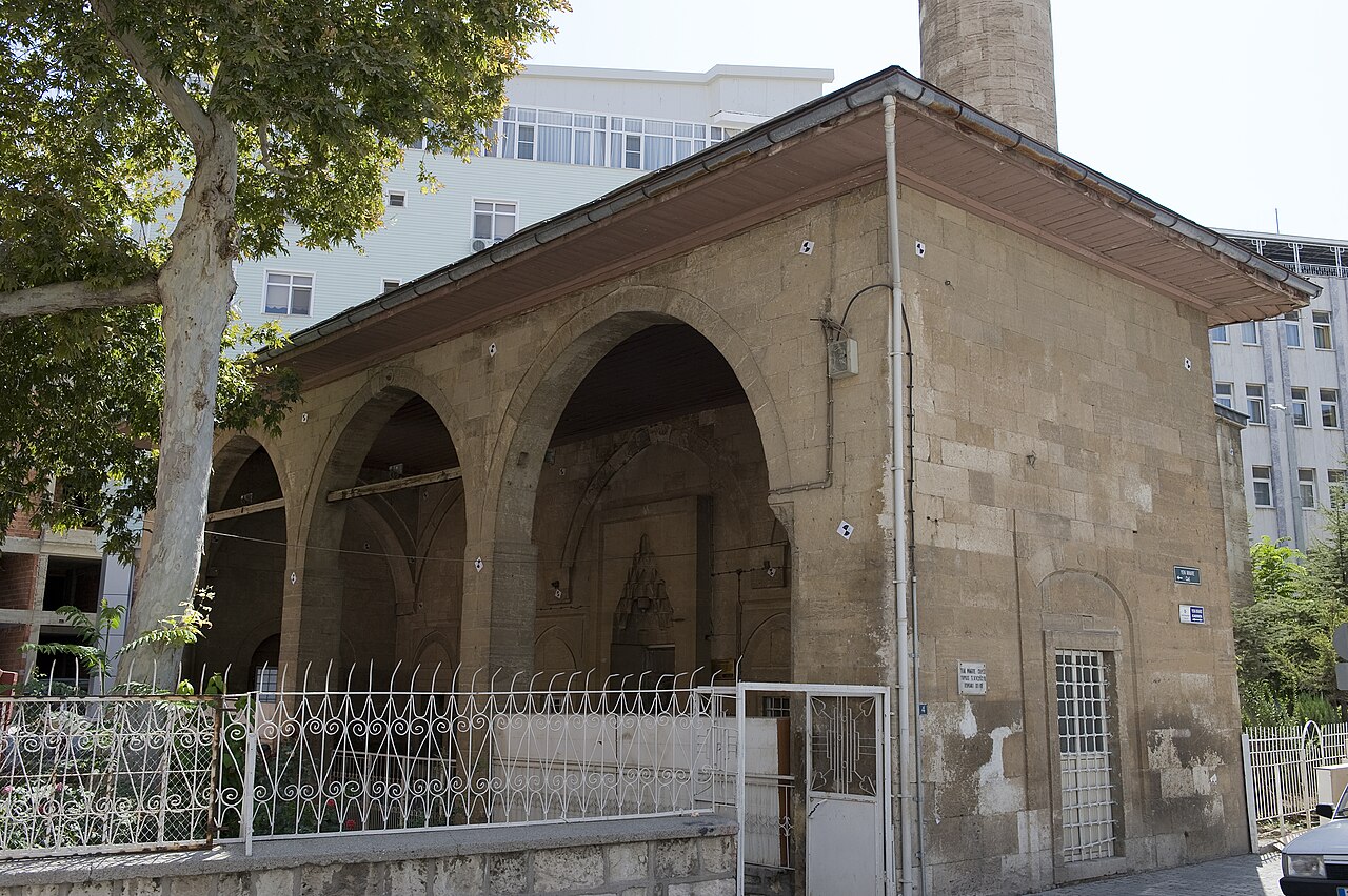
The mountain itself offers a nature-led experience of wooded highland terrain, rural views and walking. A published route connects the remains of a mosque minaret in Eski Çıkrıkçı Mahallesi with Eşemenler Street in Yenice Mahallesi. At the Yenice end, the grave of Usturumcalı Halil Efe adds a local historical focus; he is remembered as a National Struggle hero. Expect landscape, village details and memorial places rather than galleries or monumental architecture. There is no sequence of galleries, monuments or ticketed facilities to tour on the mountain itself. The attraction is the wooded highland setting, with rural views and the settlements that frame the published walking route. A walk can connect the remains of a mosque minaret in Eski Çıkrıkçı Mahallesi with Eşemenler Street in Yenice Mahallesi.
Checked 2026-09-02 · Source
Reserve several hours for the published walk, allowing time for orientation, pauses and the changing pace of rural or forest terrain. The announcement names the start and finish but gives no walking duration, so the outing depends on pace, weather, stops and ground conditions. A shorter visit around an approach point or recreation area can suit a brief day outdoors, but the complete route needs more time than a quick roadside stop.
Checked 2026-09-02 · Source
District tourism information links Yağcı Dağı with hot-weather visits, when its forested elevation and clean water offer a cooler natural setting. For walking, daylight and settled weather are the practical priorities. The mountain is open-air terrain rather than a venue with a published daily timetable or regular closing day. Choose a start that leaves enough light for the planned route and return, especially when continuing toward Yenice.
Checked 2026-09-02 · Source
Plan it as an outdoor mountain destination rather than a conventional paid attraction. Your practical costs will come from reaching the area and preparing for the walk, while the mountain itself has no stated admission tariff in the guide’s documented material.
Checked 2026-09-02 · Source
Çıkrıkçı Plateau is the clearest access reference and lies on the Selendi–Simav road. The published walk begins at the remains of a mosque minaret in Eski Çıkrıkçı Mahallesi and ends on Eşemenler Street in Yenice Mahallesi. Transport records list Çıkrıkçı and Yağcı as public-transport points, without identifying a direct service to the summit. Arrange the rural approach and your departure from the endpoint before setting out.
Checked 2026-09-02 · Source
Treat Yağcı Dağı as natural mountain terrain, not an urban park with continuous paving and staffed facilities. The forested setting includes uneven ground, and step-free access to the summit is not established. Wear walking shoes and bring weather-appropriate layers. Keep the route within daylight and visibility, and organise return transport from Yenice or the approach area before departure. The mountain’s scale and rural character demand more preparation than a casual town stroll.
Checked 2026-09-02 · Source
Photograph the relationship between mountain, woodland and villages rather than isolating one landmark. The mosque-minaret remains in Eski Çıkrıkçı provide a recognisable starting detail, while the Yenice finish includes the grave of Usturumcalı Halil Efe, remembered as a National Struggle hero. Changing light can reveal forest texture and rural distance. Treat the grave and village spaces respectfully, keeping the memorial character visible in your images and your conduct.
Checked 2026-09-02 · Source
Yağcı Dağı is in the Selendi district area of Manisa Province, among the principal elevations north of Selendi.
Yağcı Dağı has an elevation of 1,516 metres.
It is a high, forested natural recreation area associated with clean water, hot-weather visits and outdoor walking.
The published walk begins at the remains of the mosque minaret in Eski Çıkrıkçı Mahallesi.
The route finishes on Eşemenler Street in Yenice Mahallesi.
The Yenice section contains the grave of Usturumcalı Halil Efe, remembered as a National Struggle hero.
Loading the interactive map…
The interactive map could not be loaded.
Last updated:
Source: OpenStreetMap contributors, Wikidata ·