
119 min walk
Iasos
- High
- Historic monument
Language · 11 published
Historic monument · Muğla
Bargylia/Barbylia
Reviewed by Elena Voss · Roavina Travel Editor
This place is a Archaeological site.
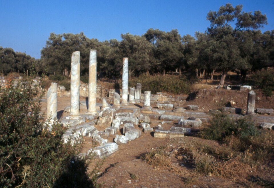
Bargylia is an open-air archaeological site in Boğaziçi, the modern settlement identified with the ancient city on a small peninsula south of Güllük Gulf. The ruins stand beside the former Varvil inlet, a narrow, deep waterway that once opened into Iasos Gulf and has since filled. Bargylia is associated with Artemis Kindyas and with a founding legend about Bargylos, Bellerophon’s companion, who was said to have been killed by Pegasus. Its distinctive character comes from the meeting of coastal geography, scattered archaeological traces and a modern settlement that preserves the ancient city’s identity.
Checked 2026-09-02 · Source
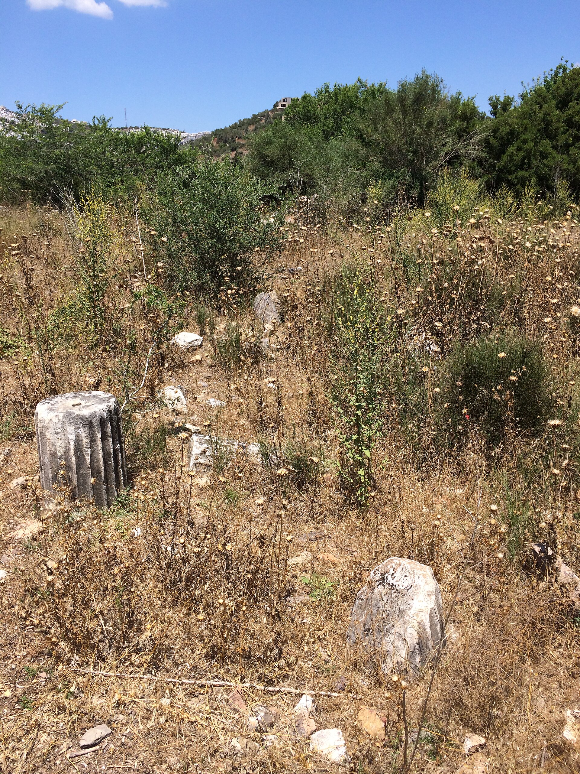
Bargylia is understood through dispersed traces rather than one complete monument. Recorded remains include temple foundations linked with the city’s religious history, sections of the ancient walls, a theatre, a small odeon and stoa remains. Roman-period aqueducts reveal infrastructure that supported the settlement, while Byzantine walls show continued use after antiquity. The filled Varvil inlet has altered the original setting, but the surviving foundations, civic structures, defences and waterworks still offer separate clues to Bargylia’s long history. Walk between them slowly, because the archaeological story is distributed across the peninsula.
Checked 2026-09-02 · Source
Allow roughly 45 to 75 minutes for a focused visit, with extra time if you want to trace the scattered remains and absorb the peninsula landscape. This is an exploratory walk rather than a compact circuit: uneven grassy ground, loose stones and slopes can make short distances take longer. A brief stop is enough to understand Bargylia’s setting, but a slower visit gives you more time to distinguish foundations, wall fragments and surviving structural traces. Include orientation time in Boğaziçi, because the experience depends on locating separate archaeological clues across the landscape.
Checked 2026-09-02 · Source
Plan a daylight visit so low foundations, loose stones and changes in ground level are easier to see. Morning or late afternoon gives the remains stronger relief and makes the peninsula landscape easier to read. Bargylia’s scattered character rewards clear visibility: daylight helps distinguish archaeological remains from ordinary stones and supports careful movement between separate traces. The visit is most rewarding when you can see both the surviving structures and the former water boundary that shaped the ancient settlement. Allow enough light for the full exploratory walk rather than arriving near dusk.
Checked 2026-09-02 · Source
No admission charge or ticketed entrance is described for Bargylia in the available official regional information. The responsible public body classifies it as an unregulated ancient site, so there is no documented ticket office, booking process or timed entry to arrange. Treat the visit as access to open-air remains rather than entry to a staffed archaeological park. Admission is recorded as free, with no ticket purchase described. The site’s unregulated status also means visitors should expect archaeological traces in the landscape rather than a formal reception or controlled entrance sequence.
Checked 2026-09-02 · Source
From the Milas–Bodrum highway, turn towards Boğaziçi at approximately kilometre 25, then continue about 2 kilometres to the modern settlement. The official regional tourism page identifies Boğaziçi as the settlement corresponding to ancient Bargylia. The remains lie on a small peninsula beside the former Varvil inlet, so the approach is more rural than a conventional museum visit. Prepare navigation before leaving the main road, allow time for the local roads, and identify a safe place to stop before continuing on foot towards the archaeological traces. The highway reference is the clearest starting point.
Checked 2026-09-02 · Source
Bargylia is spread across uneven grassy ground with loose stones and slopes. No documented step-free route crosses the archaeological remains, so the site is unsuitable for visitors who require a confirmed step-free path. Wear secure footwear, move carefully around changes in level, and do not climb walls or foundations. Keep children close where stones shift or the ground drops. Treat every surviving wall, foundation and stone arrangement as protected archaeological fabric rather than a place to sit, climb or rearrange for a photograph.
Checked 2026-09-02 · Source
Bargylia is especially suited to photographs that connect archaeology with landscape. Frame temple foundations, wall fragments or aqueduct traces against the peninsula and the former Varvil inlet, using a wider view to show how dispersed the site is. Low remains and textured grass gain definition in morning or late-afternoon light. Stay on firm ground, do not move stones, and avoid entering fragile structures for a better angle. Detail images can record masonry and changing ground levels; wider compositions can show how the former water boundary shaped Bargylia and its surviving archaeological setting.
Checked 2026-09-02 · Source
Bargylia is in Boğaziçi, Milas, Muğla, on a small peninsula south of Güllük Gulf.
The modern settlement corresponding to ancient Bargylia is Boğaziçi.
Bargylia was associated with the sanctuary of Artemis Kindyas.
Recorded remains include temple foundations, parts of the ancient walls, a theatre, a small odeon, stoa remains, Roman-period aqueducts and Byzantine walls.
Bargylia stood beside the Varvil inlet, a narrow deep inlet that formerly opened into Iasos Gulf and is now filled.
The name is linked to Bargylos, the companion of Bellerophon who, according to the founding legend, was killed by Pegasus.
Loading the interactive map…
The interactive map could not be loaded.

Last updated:
Source: OpenStreetMap contributors, Wikidata ·