


3 min walk
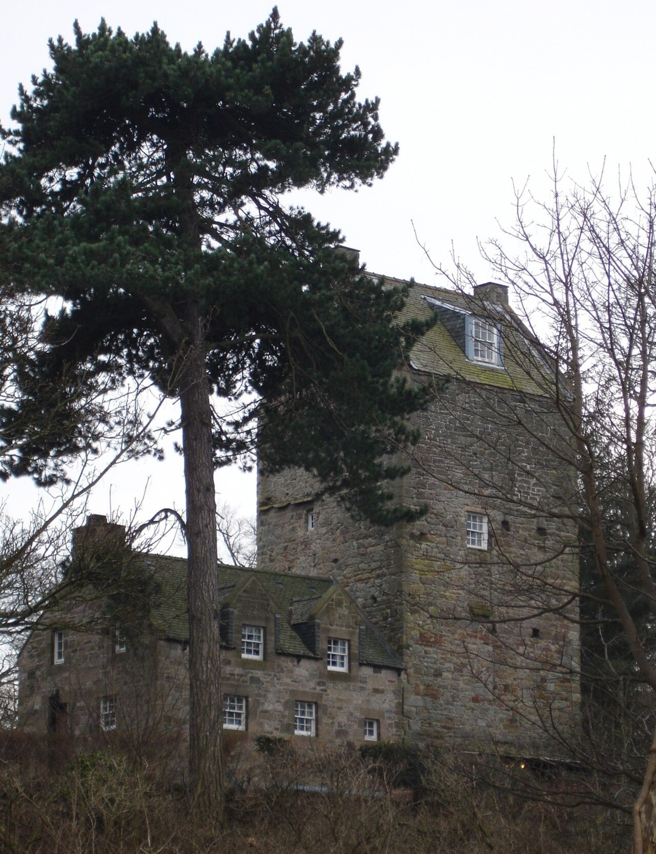
Cramond Tower
- Notable · Heritage site
- Historic monument
Language · 11 published
Nature site · Edinburgh
Reviewed by Elena Voss · Roavina Travel Editor

Cramond Foreshore is an outdoor coastal area in northwest Edinburgh, where the River Almond reaches the Firth of Forth. It is suited to shoreline walks, estuary views and time beside the water. The setting combines a tidal beach, riverside scenery and a broad view across the firth. A causeway leads from the foreshore towards Cramond Island when the tide allows. Nearby Cramond also has Roman archaeological remains, giving the visit a mixture of landscape and local history. Cramond Foreshore is a coastal area in northwest Edinburgh, Scotland, situated where the River Almond meets the Firth of Forth. The foreshore offers views across the estuary and serves as a recreational space for walking and enjoying the waterfront environment. The area includes a causeway leading to Cramond Island, which is accessible at low tide. The foreshore forms part of Edinburgh's coastal landscape and has historical significance due to its proximity to Roman remains at Cramond, where archaeological evidence of a Roman fort has been found. No. Cramond Island is only reachable via a causeway at low tide. The crossing becomes submerged at high tide, creating stranding risk for visitors who misjudge timing.
Checked 2026-08-26 · Source
The experience is mainly outdoors. You can follow the promenade and shoreline, look across the River Almond estuary and see mudflats exposed by the falling tide. Coastal vegetation borders parts of the area, while birds use the tidal ground. The causeway is the defining feature and provides a route towards Cramond Island during the appropriate tidal window. The surrounding village adds residential streets and a nearby connection to Roman remains, while the Firth of Forth forms the northern horizon. The foreshore features a tidal beach area, a promenade, and the causeway to Cramond Island. Visitors will find the River Almond estuary, mudflats exposed at low tide, and coastal vegetation.
Checked 2026-08-26 · Source
Allow about thirty minutes for a short look at the waterfront, or one to two hours for a relaxed shoreline walk. Reaching Cramond Island by the causeway adds time and must fit within the low-tide period. Combining the foreshore with Cramond village or the nearby Roman remains can turn the outing into a longer half-day walk. Your pace, the weather and the amount of time spent watching the estuary will shape the final duration.
Checked 2026-08-26 · Source
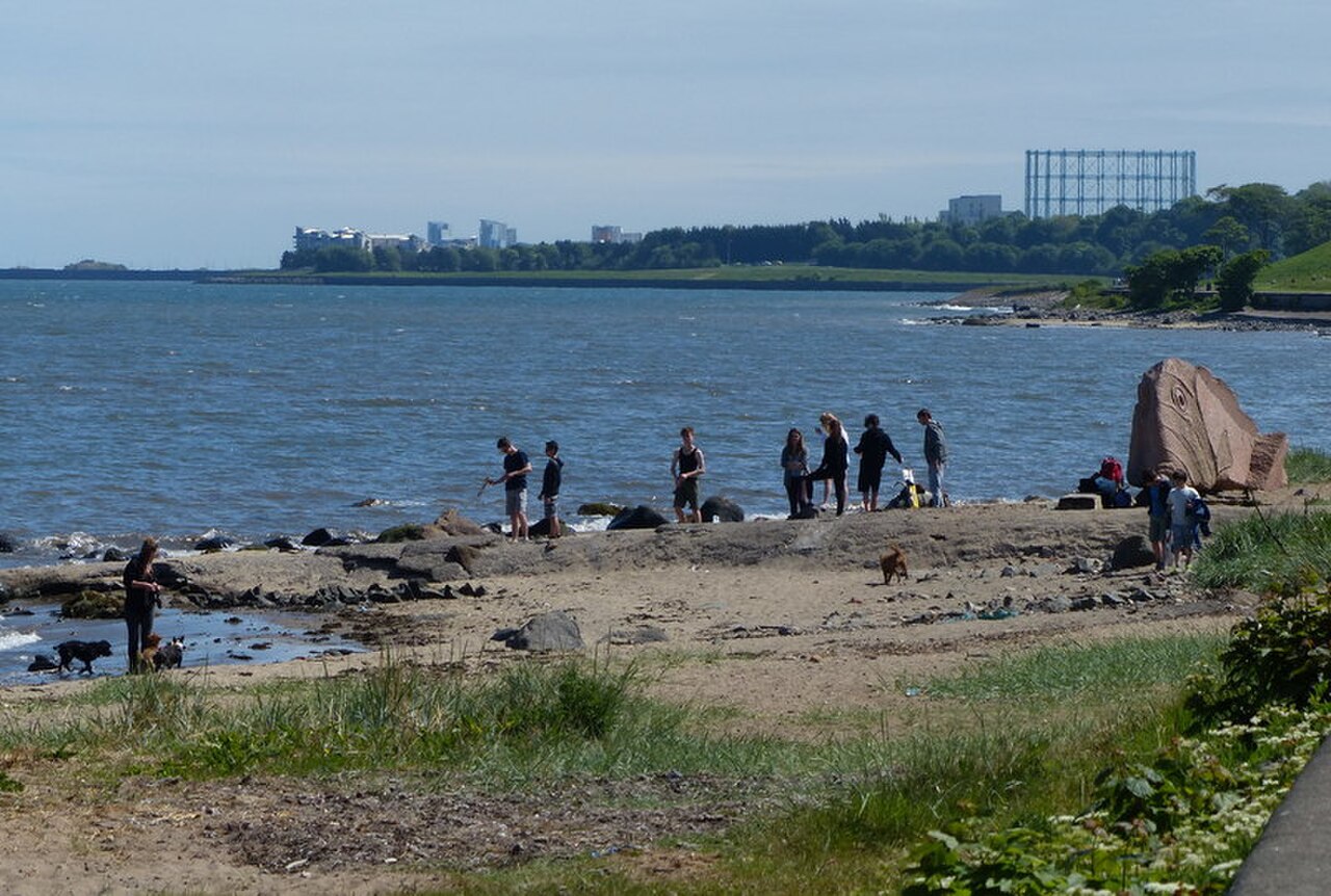
The foreshore is an outdoor destination that can be visited in every season. Summer gives you longer daylight for walking and coastal views, while winter brings shorter days and colder, more exposed conditions. Plan any island crossing around the tide rather than simply the time of day. The causeway is passable at low tide and submerged at high tide, so the tide cycle determines when the crossing can be made and when you must return.
Checked 2026-08-26 · Source
General access to Cramond Foreshore is described as public outdoor access, with no admission charge identified for the foreshore or the causeway. The tidal nature of the causeway controls access instead of a ticketing system. Parking in the surrounding Cramond area may have its own restrictions or charges, so treat parking as separate from entry to the shore. The nearby village and coastal paths form part of the open outdoor setting.
Checked 2026-08-26 · Source
Cramond Foreshore lies in the Cramond area of northwest Edinburgh. You can reach the village by road from the city and continue on foot towards the waterfront and causeway. Bus services serve the Cramond area, with a walk required between local stops and the shore. Cycling is another way to approach this part of the city. Once in the village, signs point towards the foreshore and the island causeway.
Checked 2026-08-26 · Source

The tide is the central safety issue. Never begin the causeway crossing without allowing enough time to return before the water covers it. Mudflats and wet surfaces can be slippery, and the exposed shore can become cold and windy quickly. The island has no stated shelter or amenities, so carry what you need before leaving the foreshore. Keep children close to the water and mud, and follow any local signs around the shoreline.
Checked 2026-08-26 · Source
Good viewpoints include the River Almond estuary, the causeway running towards Cramond Island and the open water of the Firth of Forth. At low tide, the exposed mudflats add texture and lead the eye towards the island. Coastal birds and the village shoreline provide additional subjects. Morning and evening light can change the colour of the water and buildings. Wind is common on the exposed route, so keep cameras and tripods stable on uneven ground.
Checked 2026-08-26 · Source
You can reach the island by its causeway during low tide. At high tide the causeway is submerged, so the crossing must be planned around the tide cycle with enough time to return.
The foreshore gives you views of the River Almond estuary, the Firth of Forth, coastal vegetation, tidal mudflats, birds and the causeway towards Cramond Island.
The site is described as a tidal estuary and coastal walking area, with mudflats and changing water conditions. It is best approached as a shoreline destination rather than a designated swimming venue.
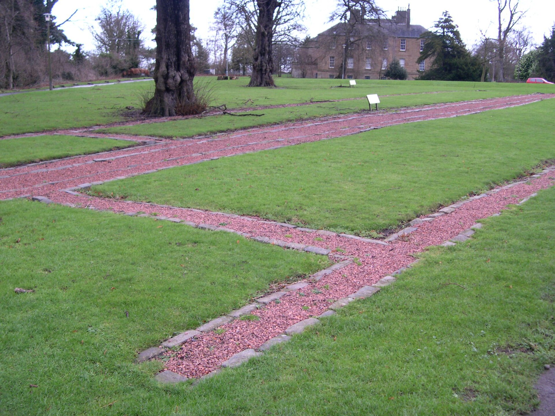
Cramond village is near Roman archaeological remains, including evidence of a Roman fort. You can combine the waterfront with the village and its historical setting.
Allow thirty minutes for a brief waterfront visit, or one to two hours for a shoreline walk. Including the causeway, village and Roman remains can extend the outing to a half day.
Yes. The foreshore consists of outdoor coastal space, including a tidal beach, promenade, estuary, mudflats, coastal vegetation and the causeway towards Cramond Island.
Loading the interactive map…
The interactive map could not be loaded.
Last updated:
Source: OpenStreetMap contributors ·