.jpg)
17 min walk
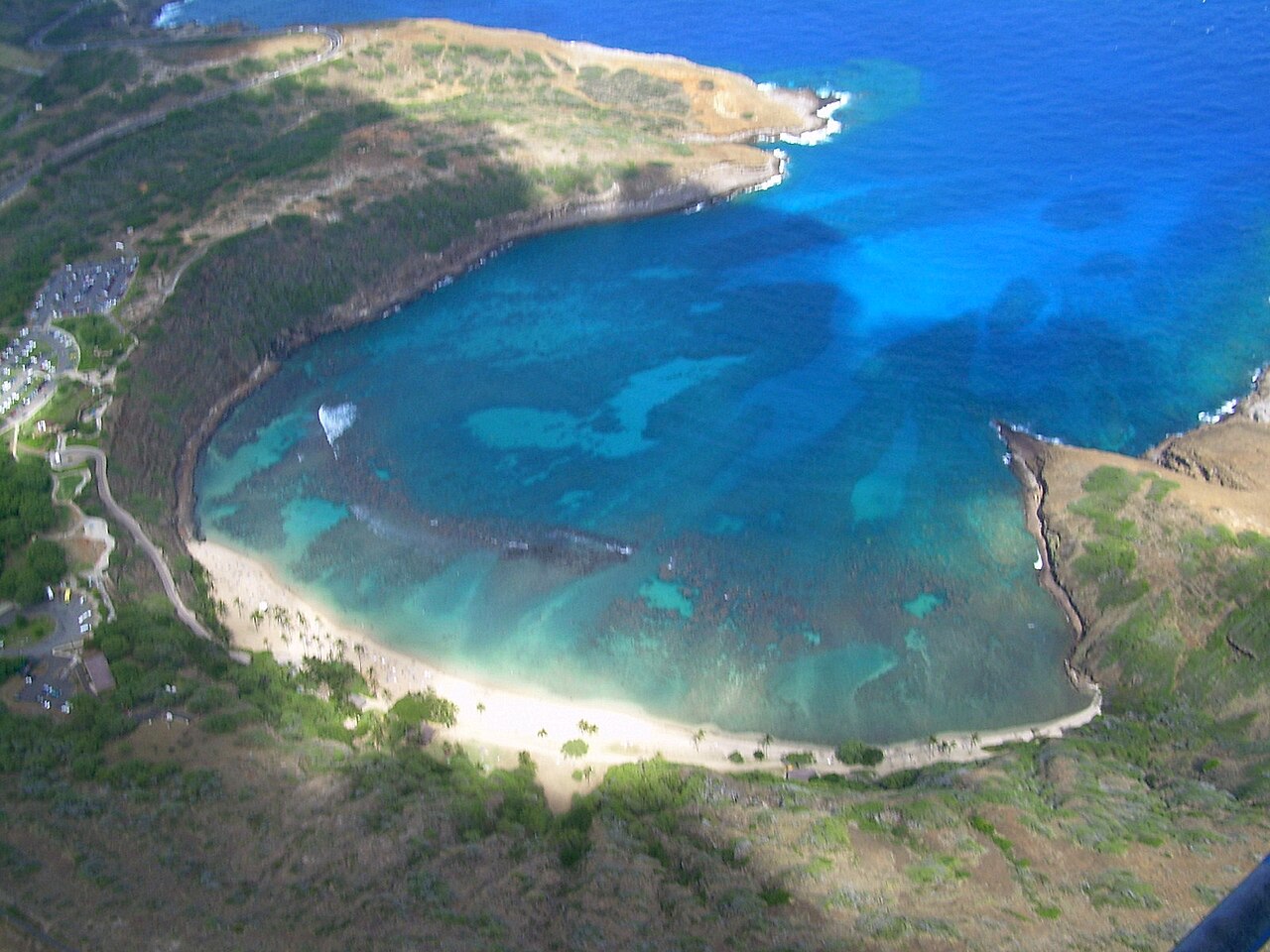
Hanauma Bay Nature Preserve
- Must see
- Nature site
Language · 11 published
Activity · Honolulu
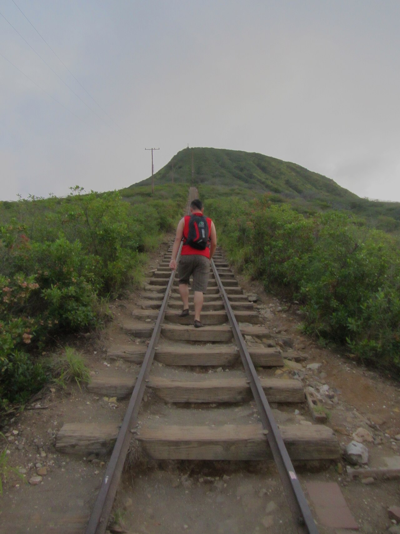
Koko Crater Railway Trail
Reviewed by Elena Voss · Roavina Travel Editor
| Monday | 04:00 – 23:00 |
|---|---|
| Tuesday | 04:00 – 23:00 |
| Wednesday | 04:00 – 23:00 |
| Thursday | 04:00 – 23:00 |
| Friday | 04:00 – 23:00 |
| Saturday | 04:00 – 23:00 |
| Sunday | 04:00 – 23:00 |
Checked 2026-08-31 · Source
Read from the OpenStreetMap access tags; anything not listed has no tag recorded.
Set the group type to family in the planner and the day window contracts to about three quarters of a solo day.
Koko Head is a prominent tuff cone on the southeastern coast of Oahu, Hawaii, near Honolulu. The landform rises above the Pacific shoreline and forms part of the Koko Head District Park area. It is geologically distinct from the neighboring Koko Crater, which features a separate railway trail popular with hikers. Koko Head itself represents volcanic activity that shaped the Hawaiian islands, with its crater structure visible from surrounding areas. The area falls within municipal park management. Daily 04:00–23:00. Koko Head District Park is closed nightly from 23:00 to 04:00. No weekly closure day is listed. The Anapālau Street vehicle gate follows the same hours.
Checked 2026-08-31 · Source
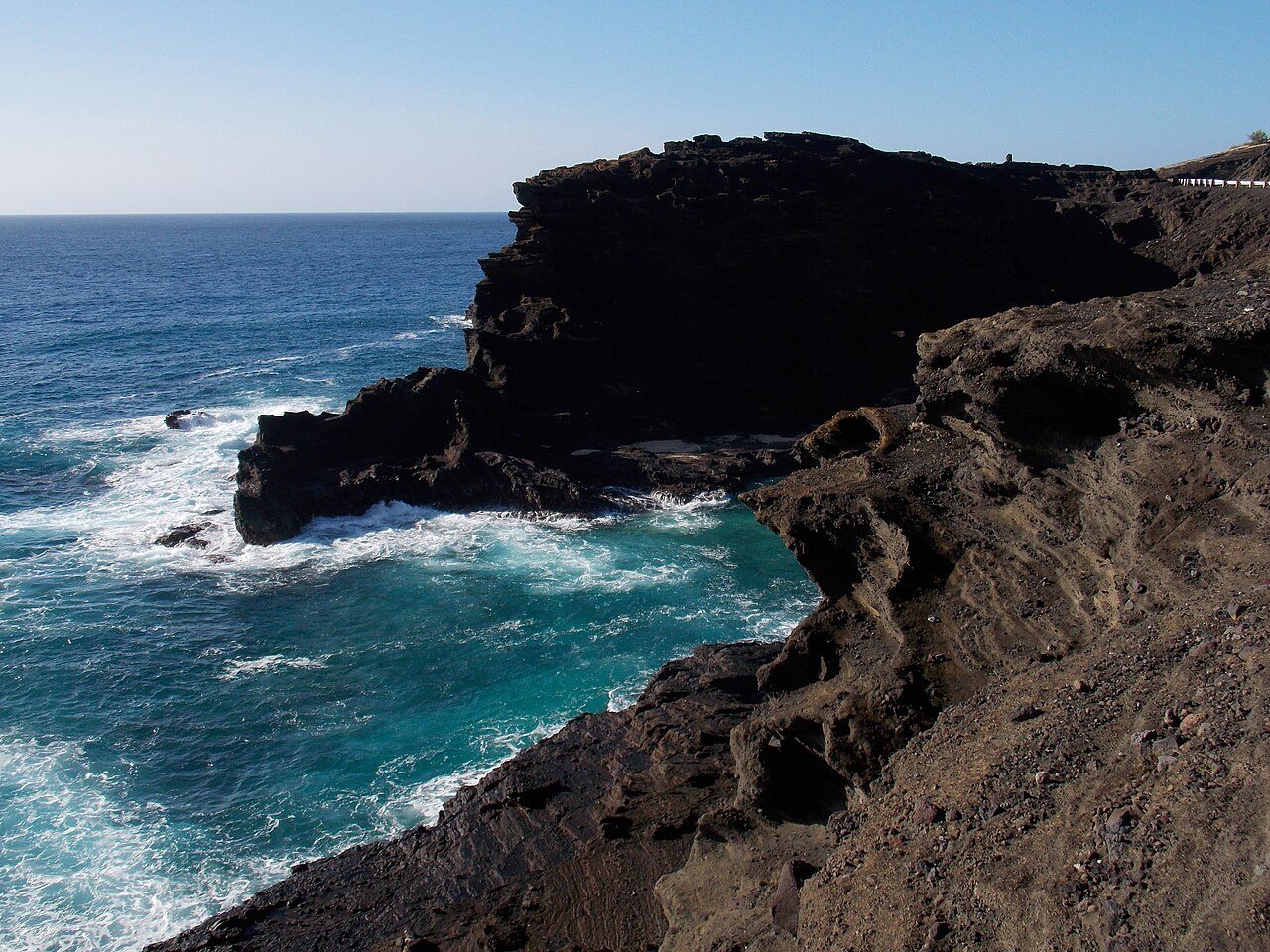
The Koko Head tuff cone contains a crater basin and surrounding slopes covered in dry vegetation typical of the leeward Oahu environment. The district park incorporates recreational facilities including sports fields and park infrastructure at lower elevations. The upper volcanic terrain remains largely undeveloped, preserving natural topography. Native and introduced plant species colonize the rocky surfaces. Marine views from elevated positions are a noted feature. The interior crater is not accessible via maintained trail systems comparable to the neighboring Koko Crater railway.
Checked 2026-08-31 · Source
A visit to Koko Head District Park can range from brief stops of thirty minutes for viewpoint appreciation to several hours incorporating park facilities and coastal observation. Those seeking to explore the tuff cone slopes should allocate additional time for careful route-finding on unimproved terrain. The neighboring Koko Crater railway trail requires separate planning and typically takes ninety minutes to two hours for the round-trip ascent. Combining both locations demands a half-day commitment minimum. Morning visits reduce afternoon heat exposure. Free general access; no admission ticket or reservation is required.
Checked 2026-08-31 · Source
Generally, coastal Oahu locations offer optimal conditions during morning hours when temperatures remain moderate and visibility peaks before afternoon cloud buildup. Trade winds typically strengthen after midday. Winter months bring slightly cooler temperatures and increased rainfall probability, though Honolulu remains warm year-round. Summer experiences higher temperatures and stronger sun exposure. Daily 04:00–23:00. The summit route follows a steep former military tramway and functions as a sustained railroad-tie stair climb. The route includes uneven footing and a bridge section. There is no step-free route to the summit; Honolulu Fire Department incidents describe rescuers ascending on foot and injured hikers requiring assisted or helicopter extraction.
Checked 2026-08-31 · Source
Koko Head District Park operates as municipal public land, suggesting no entrance fee structure for standard park access. Specialized activities, parking regulations, or facility reservations may incur separate charges requiring direct verification with Honolulu authorities. Verification through official channels prevents misunderstanding. Free general access; no admission ticket or reservation is required. The summit route follows a steep former military tramway and functions as a sustained railroad-tie stair climb. The route includes uneven footing and a bridge section.
Checked 2026-08-31 · Source
Koko Head occupies southeastern Oahu accessible via Kalanianaole Highway from Honolulu. The drive from Waikiki typically requires twenty to thirty minutes depending on traffic conditions. Public bus service operates along this corridor with stops requiring walking distance to park entrances. Rental vehicles provide maximum flexibility for coastal exploration. By public transport, take TheBus Route 24 to Hawaiʻi Kai Park & Ride, then local Route 231 toward the Koko Head District Park side of its loop; the official combined route map identifies the park. Drivers enter Koko Head District Park from Anapālau Street. The vehicle gate is open 04:00–23:00, and DPR directs hikers to the park’s parking facilities rather than surrounding residential streets.
Checked 2026-08-31 · Source
The arid southeastern Oahu climate demands substantial hydration and sun protection. No shade covers exposed upper slopes. Loose volcanic rock creates unstable footing requiring sturdy footwear. Cliff edges near coastal viewpoints present fall hazards without barrier protection. Heat exhaustion symptoms require immediate descent and cooling. Cell phone coverage may vary across terrain. After-dark exploration lacks illumination and increases risk. The summit route follows a steep former military tramway and functions as a sustained railroad-tie stair climb. There is no step-free route to the summit; Honolulu Fire Department incidents describe rescuers ascending on foot and injured hikers requiring assisted or helicopter extraction.
Checked 2026-08-31 · Source
The tuff cone profile offers strong geometric composition against sky and sea backgrounds. Morning side-lighting emphasizes crater rim texture. Wide-angle lenses capture landform scale within coastal context. Telephoto compression isolates the cone against distant islands when atmospheric clarity permits. Sunset positions the sun behind the landform creating silhouette opportunities from western vantages. Haze commonly reduces afternoon visibility. Drone operation requires FAA compliance and awareness of airspace restrictions near coastal areas. Tripod use on uneven ground demands stability attention. The Koko Crater Trail is managed by the City and County of Honolulu, not the state Nā Ala Hele trail system.
Checked 2026-08-31 · Source
The Koko Crater Trail is managed by the City and County of Honolulu, not the state Nā Ala Hele trail system.
Yes. It was operating under regular park hours on 2026-08-31; Honolulu Fire Department recorded an active trail rescue on 2026-08-20, and DPR listed no special closure.
The tracks belonged to a tramway that carried personnel and supplies to the Hawaiʻi Air National Guard radar station on Koko Crater.
No. The ascent is a steep former tramway with railroad-tie steps, uneven footing and a bridge; there is no step-free summit route.
Honolulu Fire Department has repeatedly assisted hikers who could not descend independently, including a visitor airlifted after becoming dizzy on 2026-08-20.
Assess fitness and experience against the trail, hike with a partner, stay on the route, remain together, avoid unnecessary risks, watch the time and carry enough water to prevent heat exhaustion and cramps.
Loading the interactive map…
The interactive map could not be loaded.
Last updated:
Source: OpenStreetMap contributors, Wikidata ·