
.jpg)

9 min walk
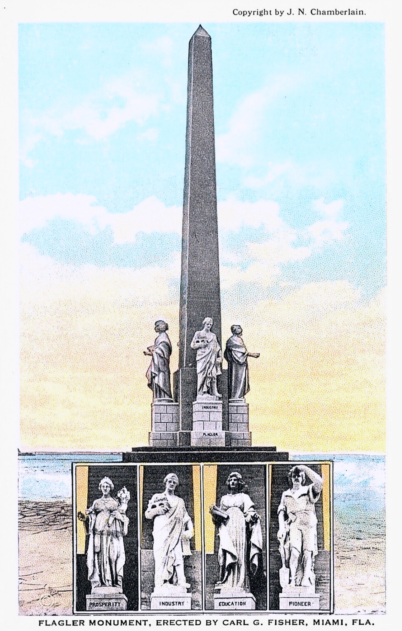
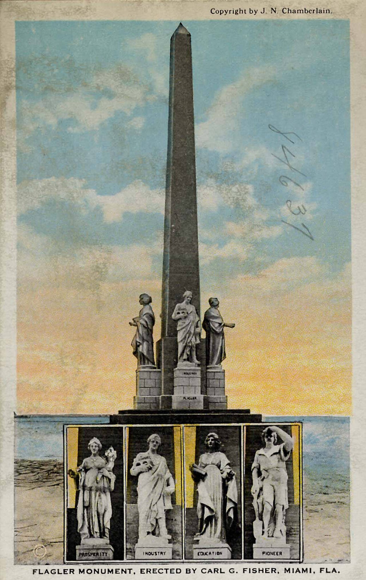
Flagler Memorial Monument
- Notable
- Nature site
Language · 11 published
Historic monument · Miami
Reviewed by Elena Voss · Roavina Travel Editor

| Monday | 00:00 – 23:59 |
|---|---|
| Tuesday | 00:00 – 23:59 |
| Wednesday | 00:00 – 23:59 |
| Thursday | 00:00 – 23:59 |
| Friday | 00:00 – 23:59 |
| Saturday | 00:00 – 23:59 |
| Sunday | 00:00 – 23:59 |
Parsed from OpenStreetMap opening hours on 2026-09-09.
This place is a Attraction.
Venetian Way is a causeway linking mainland Miami with Miami Beach across Biscayne Bay. The crossing runs through the Venetian Islands, an early twentieth-century chain of artificial islands, and forms an important road connection between the two urban areas. For travelers, its main attraction is the changing view: Miami’s skyline, open bay water, boats, bridges, and waterfront homes come together along the route. It is a scenic transport corridor rather than a conventional attraction with galleries, exhibits, or visitor buildings. Venetian Way is a causeway connecting mainland Miami to Miami Beach across Biscayne Bay. It forms part of the historic Venetian Islands, a chain of artificial islands created in the early 20th century. The route carries vehicular traffic and features distinctive Mediterranean Revival architecture influences in its surrounding developments. These names refer to the same general route.
Checked 2026-08-26 · Source
The crossing includes several low bridge spans and artificial islands, including Biscayne Island and Rivo Alto Island. The surrounding residential streets contain waterfront properties and quiet island scenery, while the roadway itself offers views toward Miami and Miami Beach. There are no commercial attractions, exhibition rooms, or visitor facilities directly along the causeway. Treat the journey as a moving panorama: the interest lies in the relationship between water, bridges, boats, skyline, and residential island development rather than in a single structure or enclosed site.
Checked 2026-08-26 · Source
Crossing Venetian Way takes longer than using a direct mainland-to-beach road when traffic is heavy, because the route passes over multiple spans and islands. The journey works best as part of a transfer between Miami and Miami Beach, not as a separate stop requiring a long stay. A full walk or cycle across the route demands substantial effort and involves sections shared with motor traffic. Most visitors experience it while driving, riding in a taxi, or using a rideshare vehicle.
Checked 2026-08-26 · Source
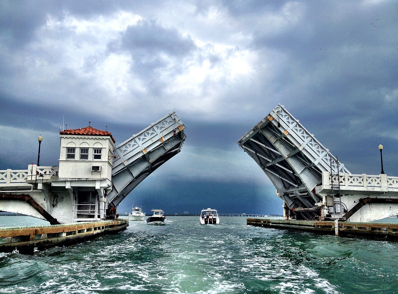
Venetian Way is a public roadway, so its practical use follows traffic and weather rather than a museum timetable. Weekday mornings commonly bring heavier eastbound movement toward Miami Beach, while evening traffic reverses toward the mainland. Weekends can become busier with beach-bound journeys. Sunrise and sunset create attractive light across the bay and skyline, although the best view is enjoyed from a safe place at either end or on the islands. Summer thunderstorms and tropical weather from June through November can make the crossing less comfortable.
Checked 2026-08-26 · Source
There is no toll for using Venetian Way, and the causeway functions as a free public thoroughfare. Costs arise from the way you reach it or from parking and activities at nearby destinations. Parking directly on the causeway is not available, and stopping in the traffic lanes is unsafe. Plan the crossing as part of a wider Miami or Miami Beach route, with any paid parking arranged at a lawful location away from the bridge itself.
Checked 2026-08-26 · Source
Venetian Way begins on the Miami mainland around Northeast 15th Street and reaches Miami Beach near 17th Street. Drivers can approach from Biscayne Boulevard, while the Miami Beach side connects with Alton Road. Taxis, rideshare vehicles, and private cars can use the roadway. Cyclists may travel along the road, though dedicated cycling provision is inconsistent. The crossing is not a practical pedestrian route because sections require sharing space with moving vehicles. Its central position makes it convenient when moving between the mainland and Miami Beach.
Checked 2026-08-26 · Source
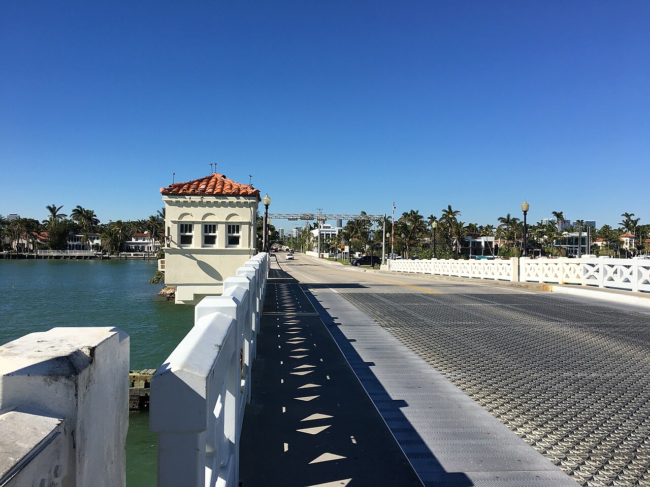
Venetian Way is an active multi-lane road, not a promenade or roadside viewpoint. Follow speed limits, remain alert during lane changes, and never stop in the roadway for photographs. Morning eastbound and evening westbound glare can reduce visibility. Storms may arrive quickly, while low-lying areas can be affected by high water during severe weather or king tides. Traffic, construction, and maintenance can extend the journey. Pedestrians and cyclists should take particular care because dedicated infrastructure is not continuous along the full crossing.
Checked 2026-08-26 · Source
Do not photograph from a stopped vehicle or set up a tripod on Venetian Way. Safe images are best made from public areas at the causeway ends or from accessible parts of the Venetian Islands. Look for compositions combining bay water, bridge spans, boats, and the Miami skyline. Morning light favors views toward Miami Beach, while evening light can frame the mainland skyline. Drone use is subject to FAA rules and aviation restrictions near Miami Beach. The roadway itself offers no designated pull-off area for photography.
Checked 2026-08-26 · Source
Venetian Way is a causeway linking mainland Miami and Miami Beach across Biscayne Bay through the Venetian Islands.
Walking the full crossing is not a practical choice because dedicated pedestrian infrastructure is inconsistent and some sections share space with vehicles.
No toll is collected for using Venetian Way; it is a free public thoroughfare.
The route passes through artificial islands including Biscayne Island and Rivo Alto Island, which form part of the Venetian Islands.
There is no parking on the causeway, and stopping in the roadway is unsafe. Use a lawful parking location away from the crossing.
The route offers views of Biscayne Bay, boats, bridge spans, the Miami skyline, Miami Beach, and waterfront island neighborhoods.
Loading the interactive map…
The interactive map could not be loaded.
Last updated:
Source: OpenStreetMap contributors ·