

.jpg)
.jpg)
.jpg)
6 min walk
Corona Heights Park
- Must see
- Nature site
Nature site · San Francisco
| Monday | 06:00 – 22:00 |
|---|---|
| Tuesday | 06:00 – 22:00 |
| Wednesday | 06:00 – 22:00 |
| Thursday | 06:00 – 22:00 |
| Friday | 06:00 – 22:00 |
| Saturday | 06:00 – 22:00 |
| Sunday | 06:00 – 22:00 |
Checked 2026-08-31 · Source
| Per person | Free entry |
|---|
Checked 2026-08-31 · Source
Read from the OpenStreetMap access tags; anything not listed has no tag recorded.
Set the group type to family in the planner and the day window contracts to about three quarters of a solo day.
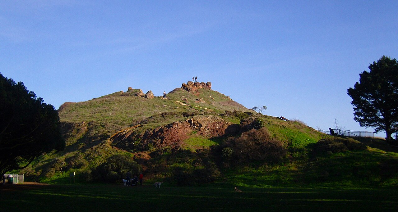
Buena Vista Park is San Francisco’s oldest public park, established in 1867 on a wooded hill between the Castro and Haight-Ashbury neighborhoods. Its approximately 36 acres feel more rustic than formal, with mature trees, winding paths, rocky ground, and changing views through the vegetation. The park offers a quiet natural break inside a dense city rather than a collection of built attractions. Travelers come for hillside walking, urban greenery, and summit views toward downtown. Its character is especially appealing if you want a less manicured landscape between neighborhood visits and are comfortable with uneven terrain.
Checked 2026-08-26 · Source
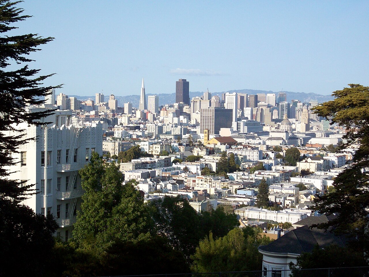
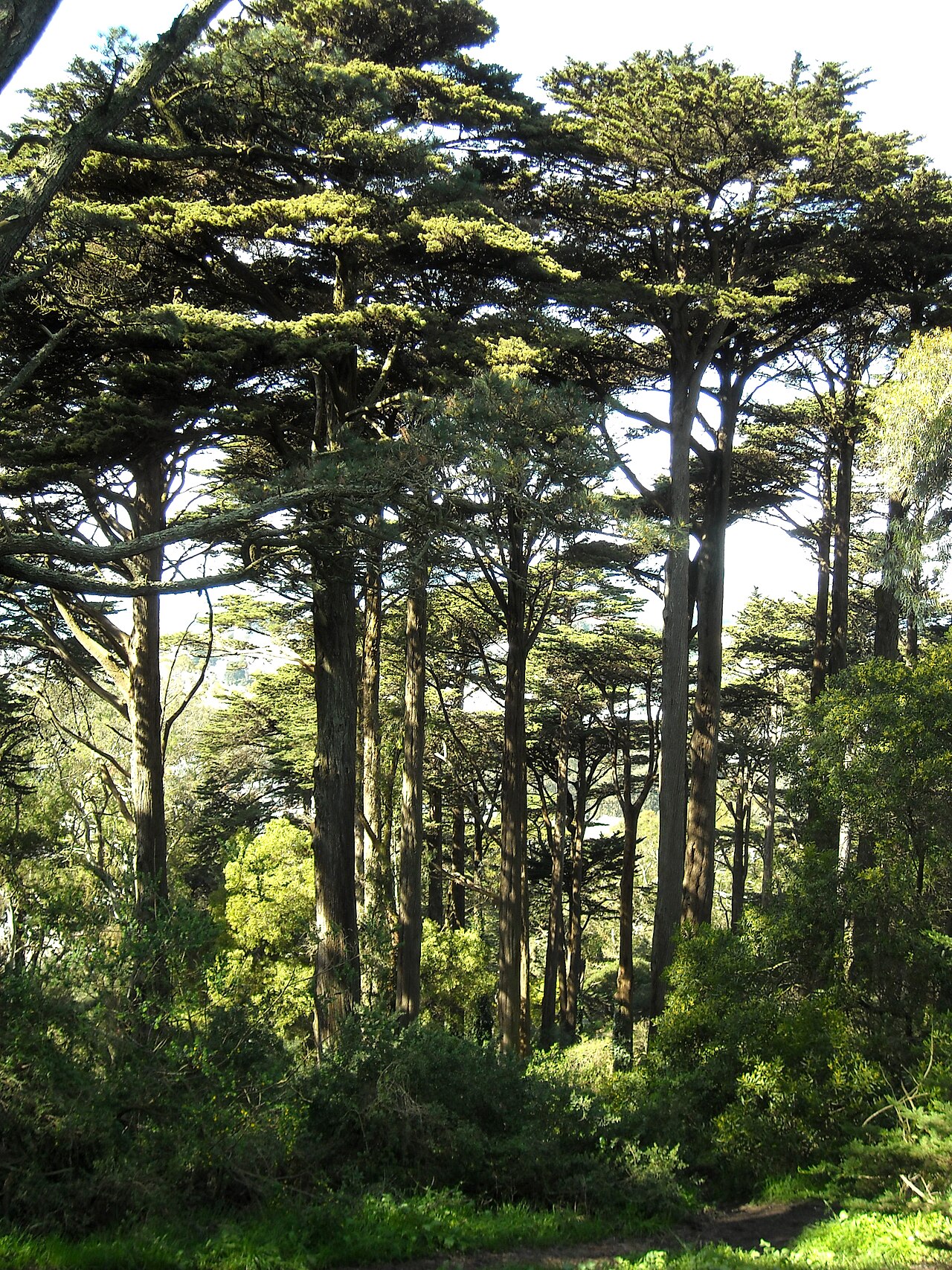
The park’s main features are its wooded slopes, mature eucalyptus, pine, and cypress trees, winding trails, rocky outcrops, and elevated viewpoints. Paths vary from paved stretches to more rugged surfaces, so the experience changes as you move between entrances and higher ground. Stone remnants associated with the 1906 earthquake have been incorporated into the landscape and add historical texture to the walk. The summit opens views toward downtown and nearby neighborhoods when the air is clear. There are no formal gardens, visitor center, café, or structured museum-style displays; the attraction is the natural hillside itself.
Checked 2026-08-26 · Source

Allow forty-five to ninety minutes for a walk through the park’s paths, depending on your route and pace. A short visit to the summit viewpoint can take twenty to thirty minutes, while photography, benches, and pauses among the trees make the visit longer. The steep terrain means progress is slower than in a flat city green, especially on rugged or damp surfaces. Buena Vista Park is rarely an all-day attraction for most travelers, but it works well as a restorative stop between the Castro and Haight-Ashbury, with enough paths to create either a short climb or a fuller circuit.
Checked 2026-08-26 · Source
Visit during daylight, when the paths, rocks, roots, and changing levels are easiest to navigate and the park’s urban views are most enjoyable. Summer fog can soften or obscure the skyline, while afternoon conditions may offer clearer views than early morning. Spring adds seasonal color to the open areas, and dry autumn weather can make walking more comfortable. Winter rain may leave unpaved trails muddy or slippery. Weekday mornings are often calmer for a quiet walk. If you want sunset light, stay near busier, familiar paths and leave enough time to descend before darkness reduces visibility.
Checked 2026-08-26 · Source
Buena Vista Park is a public municipal park with no admission fee for walking, viewpoints, or informal recreation. The cost of reaching it comes from transport or any street parking used nearby, not from entering the green itself. Its free access makes it a practical addition to a city itinerary when you want scenery without another ticketed attraction. Because the park’s appeal is spread across paths, trees, rocks, and viewpoints, travelers can include a short visit even on a busy day. Bring water and plan for a climb, since the physical effort is the main consideration rather than admission.
Checked 2026-08-26 · Source
Buena Vista Park sits near Haight Street and Buena Vista Avenue West, between the Castro and Haight-Ashbury. Muni routes serving Haight Street and Market Street provide access to the surrounding neighborhoods, and Castro Street Station offers a rail connection followed by a walk. Entrances reach the park from Haight Street, Buena Vista Avenue, and nearby side streets. Every approach involves some change in elevation, and bicycle travel is demanding because of the steep streets. There is no dedicated parking lot, so travelers arriving by car must use surrounding street spaces subject to city restrictions.
Checked 2026-08-26 · Source
The park’s natural character brings steep paths, exposed roots, loose rocks, and uneven ground. Rain, fog, and damp eucalyptus debris can make surfaces slippery, while some hillside sections feel exposed near drops. Wear shoes with reliable grip and keep your attention on the trail rather than only on the skyline. There are no documented drinking fountains, so carry water for the climb. Lighting is limited after dark, and wooded sections can feel isolated; daylight is the most comfortable time for a first visit. Families should supervise children closely around rocks, slopes, and trail edges.
Checked 2026-08-26 · Source
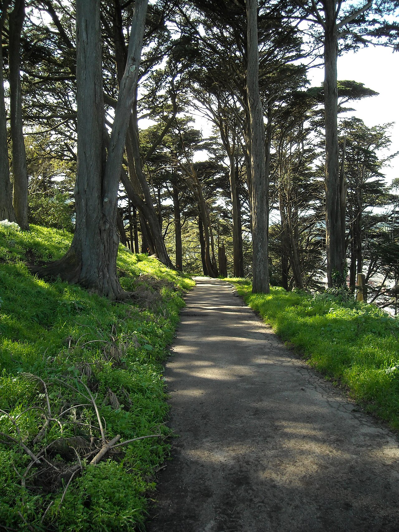
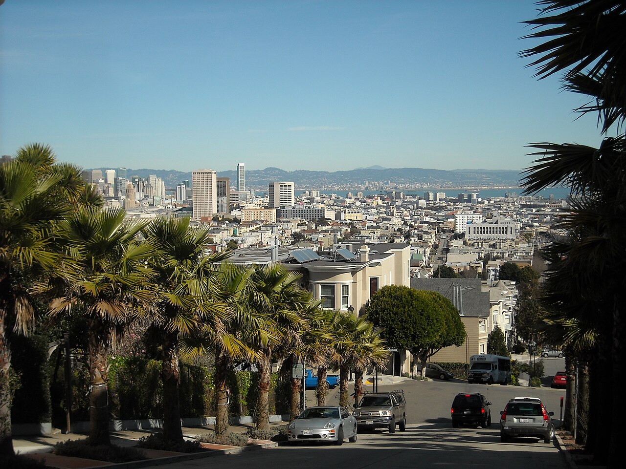
Buena Vista Park’s summit provides the clearest opportunity for downtown skyline photographs when fog and haze lift. The tree canopy creates shaded paths, dappled light, and intimate woodland subjects, while rocky features add texture that distinguishes the park from San Francisco’s formal gardens. Afternoon and golden-hour light can illuminate the city-facing views, but the exact effect depends on season and cloud cover. A wide lens is useful in the confined wooded areas, while a standard or telephoto lens can isolate skyline details from the summit. Use care with tripods on uneven ground and keep paths clear for walkers.
Checked 2026-08-26 · Source
It is San Francisco’s oldest public park, established in 1867, and is known for its wooded hilltop setting, rustic trails, rocky features, and skyline views.
Allow forty-five to ninety minutes for a fuller walk. A short summit visit can take twenty to thirty minutes, while photography and rest stops extend the outing.
Yes. There is no admission charge for entering the public park. Transport and any nearby street parking are separate considerations.
Wear comfortable shoes with good grip and bring layers. The park has steep, uneven paths, rocks, roots, and weather that can shift between fog, dampness, and clear conditions.
The park is on a hill between the Castro and Haight-Ashbury, near Haight Street and Buena Vista Avenue West, with several entrances from surrounding streets.
The summit offers downtown views, while the wooded paths, eucalyptus trees, rocky features, and dappled light provide closer subjects throughout the hillside.
Loading the interactive map…
The interactive map could not be loaded.

Last updated:
Source: OpenStreetMap contributors, Wikidata ·