
14 min walk
Fort Point
- Must see · Heritage site
- Historic monument
Historic monument · San Francisco
| Monday | 05:00 – 21:00 |
|---|---|
| Tuesday | 05:00 – 21:00 |
| Wednesday | 05:00 – 21:00 |
| Thursday | 05:00 – 21:00 |
| Friday | 05:00 – 21:00 |
| Saturday | 05:00 – 21:00 |
| Sunday | 05:00 – 21:00 |
Checked 2026-08-31 · Source
| Per person | Free entry |
|---|---|
| Per vehicle | $10.50 |
Checked 2026-08-31 · Source
Read from the OpenStreetMap access tags; anything not listed has no tag recorded.
Set the group type to family in the planner and the day window contracts to about three quarters of a solo day.
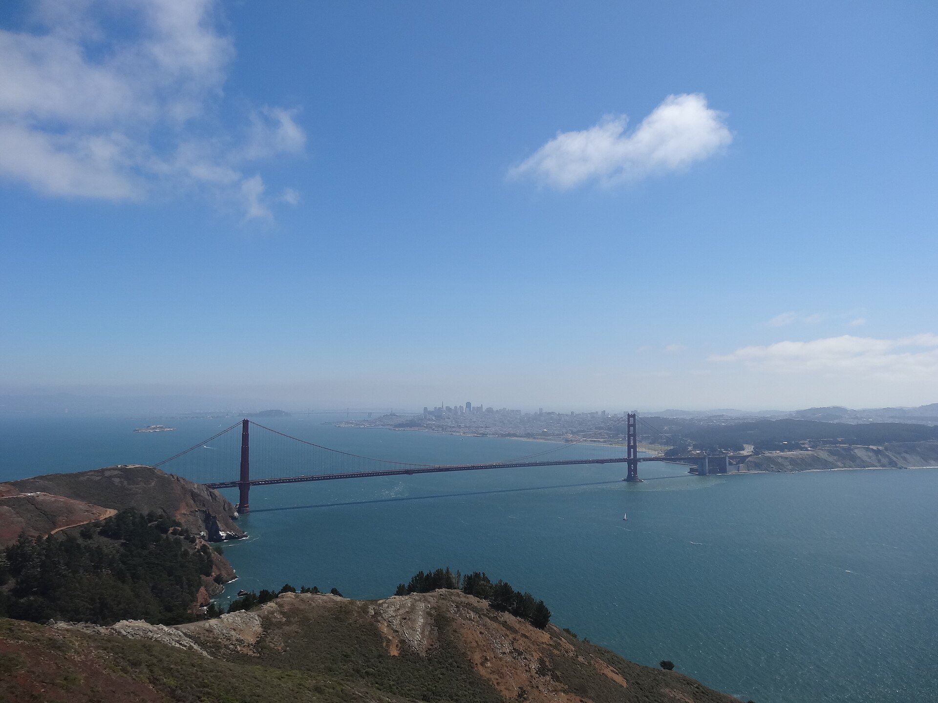
Golden Gate Bridge is the 2.7-kilometre suspension bridge linking San Francisco with Marin County across the Golden Gate strait. Opened in 1937, its International Orange towers and main span became the city's clearest engineering symbol. A visit is not a single viewpoint: the bridge, south plaza, coastal batteries and changing bay weather form one landscape. The pedestrian path reveals details hidden from distant overlooks, including the scale of the cables, the vertical suspender rhythm and the constant movement of ships beneath the deck.
Checked 2026-08-26 · Source
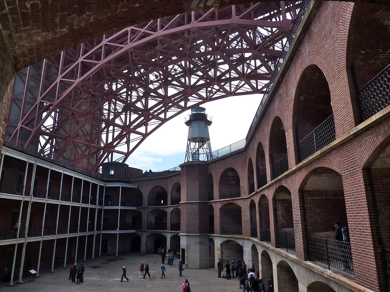
The south visitor area combines the bridge approach, outdoor interpretation, a plaza and several sightlines rather than a conventional interior. Walk onto the east sidewalk for changing views of the towers, Alcatraz, downtown and the Pacific. Fort Point sits directly below the southern anchorage and explains how the nineteenth-century fort was preserved beneath the later bridge. Battery East and the Golden Gate Overlook provide broader compositions, while the welcome center area gives historical context before the exposed walk begins. Accessible routes and current service conditions should be confirmed on the operator's visitor page before arrival.
Checked 2026-08-26 · Source
Allow 90 minutes for the south plaza, a walk to the first tower and photographs, or about two hours to cross the full pedestrian span one way without rushing. A return crossing substantially increases both time and exposure to wind. Visitors combining the bridge with Fort Point or the Presidio should reserve half a day because elevation changes and indirect paths add more time than the map suggests. The bridge works poorly as a hurried roadside stop; even a short visit needs time to reach a safe overlook.
Checked 2026-08-26
Early morning usually offers the quietest paths, while late afternoon can produce warmer light over the Marin Headlands. Fog can erase the upper towers even when downtown is sunny, and conditions change quickly at the strait. The operator publishes current pedestrian and bicycle access information, but a fixed daily opening schedule is not recorded here because access can change for maintenance, weather or security. Check the official bridge page on the day of the visit and carry a windproof layer in every season.
Checked 2026-08-26 · Source
Pedestrian access and viewpoint admission are not recorded here as a priced ticketed attraction. Vehicle tolls, parking charges and any guided activities are separate transactions and can change independently. The official bridge operator is the only reliable source for current toll and access information; no price is inferred from older travel pages. If driving, verify the electronic toll procedure before crossing because there is no assumption that cash payment is available. Treat parking near the south plaza as a separate practical cost rather than bridge admission.
Checked 2026-08-26 · Source
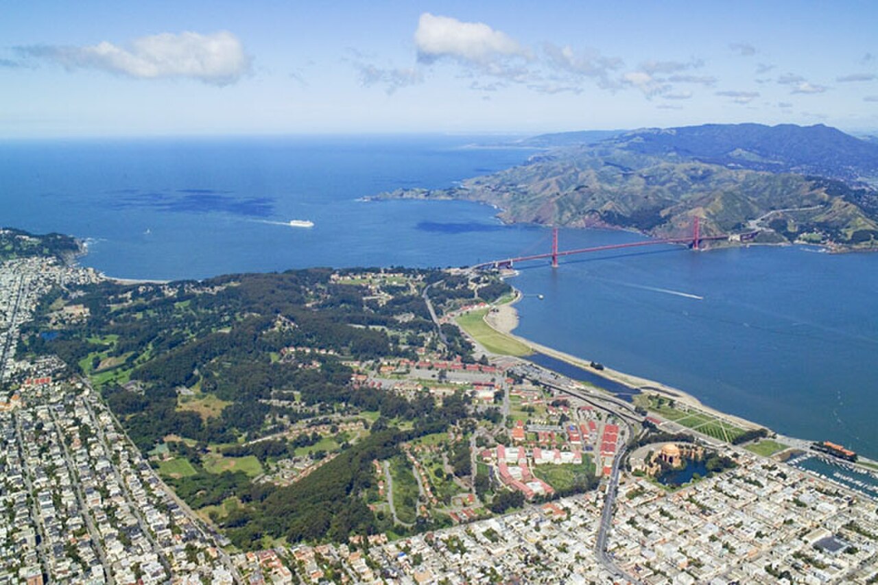
The San Francisco approach is reached through the Presidio at the bridge's south end. Public buses stop near the visitor plaza, and walking routes connect from Crissy Field, Fort Point and coastal trails, though each involves a climb. Driving is possible, but parking capacity near the bridge is limited and restrictions vary by lot. Cyclists and pedestrians use designated sidewalks with mode and time rules posted by the operator. Plan the return before starting a one-way crossing, since the Marin end is not simply another downtown transit stop.
Checked 2026-08-26 · Source
Wind, cold and traffic noise are the main practical issues. The pedestrian path is exposed, narrow in places and shared under rules that can change by time of day, so keep children close and do not stop across the travel line. Fog reduces visibility abruptly, while bright conditions offer little shade. Never climb barriers or enter maintenance areas for a photograph. Vehicle visitors should understand toll payment before departure and should not leave luggage visible in a parked car. Emergency and crisis-support signs on the bridge deserve respectful treatment.
Checked 2026-08-26 · Source
Battery East gives the classic south-side view with the bridge running toward Marin, while Fort Point creates a dramatic upward frame beneath the steelwork. On the bridge, a normal or short telephoto lens handles tower details better than an ultra-wide view that makes the span look small. Keep straps secure in strong wind and step fully out of moving pedestrian traffic before composing. Fog is not necessarily a failed visit: it isolates the towers and reveals changing sections of cable, although exposure compensation may be needed against bright white cloud.
Checked 2026-08-26
Allow about 90 minutes for the south plaza, a walk to the first tower and photographs. A complete one-way crossing needs roughly two hours, plus a separate return plan.
No timed attraction ticket is recorded for pedestrian access. Vehicle tolls, parking and guided products are separate; verify current access and payment details on the official bridge site.
Yes, using the designated pedestrian sidewalk when it is open. Access rules and sidewalk assignments can change, so check the operator's current notice before setting out.
Battery East provides the classic elevated south-side angle, while Fort Point frames the structure from below. The pedestrian sidewalk supplies the strongest sense of scale.
Carry a windproof layer in every season. The strait can be significantly colder and windier than downtown, and fog may arrive quickly even on an otherwise bright day.
Usually not. Public transport, walking and cycling avoid limited parking, while drivers must also understand electronic toll procedures and protect valuables left in the vehicle.
Loading the interactive map…
The interactive map could not be loaded.
Last updated:
Source: OpenStreetMap contributors, Wikidata ·