
1 min walk
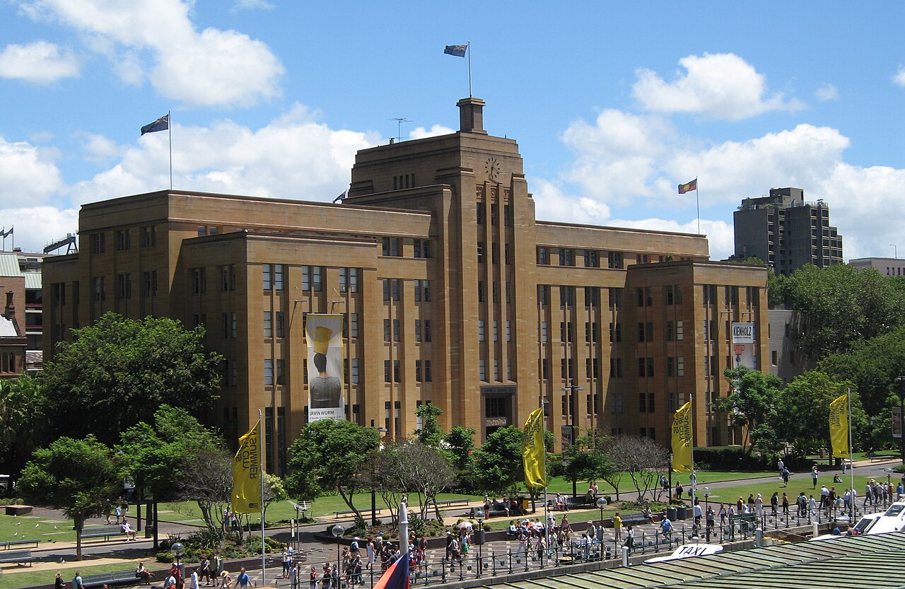
Museum of Contemporary Art Australia
- Must see
- Art and culture venue
Language · 11 published
Historic monument · Sydney
Reviewed by Elena Voss · Roavina Travel Editor
| Monday | 00:00 – 23:59 |
|---|---|
| Tuesday | 00:00 – 23:59 |
| Wednesday | 00:00 – 23:59 |
| Thursday | 00:00 – 23:59 |
| Friday | 00:00 – 23:59 |
| Saturday | 00:00 – 23:59 |
| Sunday | 00:00 – 23:59 |
Checked 2026-08-31 · Source
Read from the OpenStreetMap access tags; anything not listed has no tag recorded.
Set the group type to family in the planner and the day window contracts to about three quarters of a solo day.
The Rocks is a historic precinct on the western fringe of Sydney Cove, forming the birthplace of European settlement in Australia. Its sandstone warehouses, laneways, and terraces survive from convict-era foundations through maritime commercial periods to contemporary adaptive reuse. The area occupies the rocky headland west of Circular Quay, retaining physical layers of colonial infrastructure amid functioning hospitality, retail, and cultural spaces. Heritage interpretation throughout the precinct addresses Indigenous Gadigal country and subsequent occupation phases without homogeneous narrative smoothing.
Checked 2026-08-31 · Source
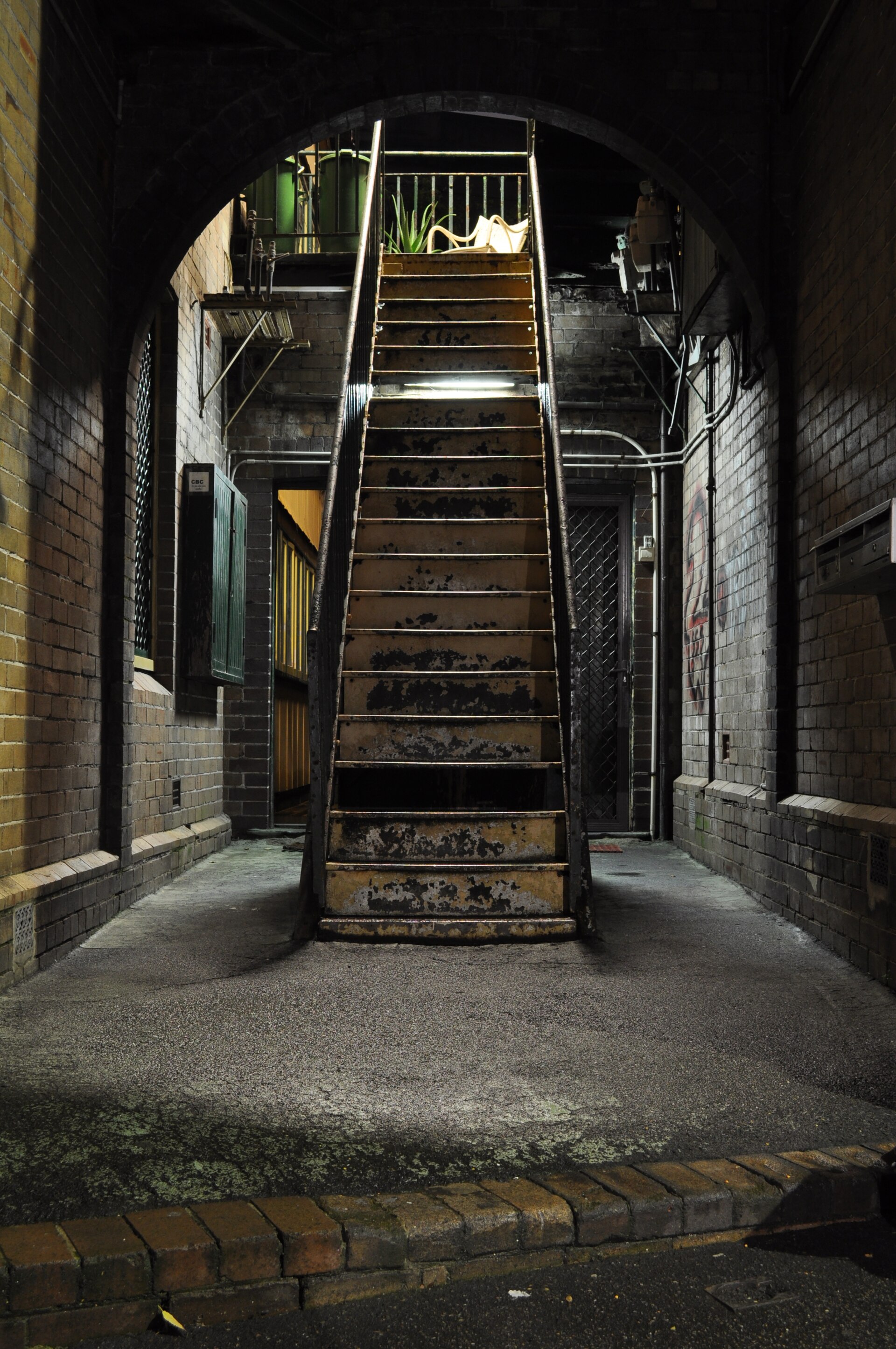
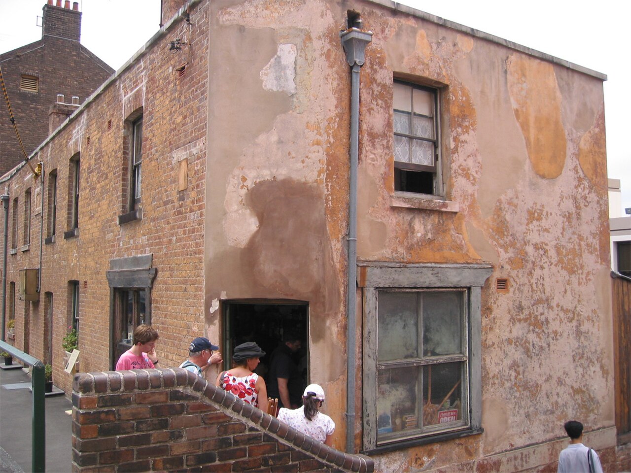
The precinct contains heritage pubs, weekend markets, contemporary art galleries including the Museum of Contemporary Art at its northern edge, and exposed archaeological sites. Argyle Cut and Nurses Walk demonstrate nineteenth-century engineering and social history. Foundation Park preserves cottage foundations as open-air exhibit. Susannah Place Museum presents intact terrace housing. Cadman's Cottage stands as surviving government-built structure. Various commercial tenancies occupy restored warehouses. The content mix shifts between tourism-oriented retail, residential conversion, and working port functions along the western harbour edge.
Checked 2026-08-31 · Source
A walking circuit through core laneways and key heritage points requires approximately ninety minutes without extended stops. Market browsing, gallery visitation, or pub meals extend duration substantially. Archaeological and historical interpretation rewards slower pacing. The precinct warrants repeated short visits rather than single exhaustive inspection, particularly given variable market and gallery scheduling. Evening hours transform atmosphere through illuminated sandstone and reduced tourist density. Visitors prioritising harbour foreshore walks connect The Rocks to Circular Quay and Barangaroo as extended route.
Checked 2026-08-31 · Source
No precinct-wide opening schedule applies; The Rocks is a district of public streets, laneways and open spaces. Individual museums, markets, shops, restaurants and attractions have their own hours. There are no precinct-wide weekly closure days. Special events can temporarily close roads or alter access, and individual venues may close independently. Weekend markets intensify foot traffic and activate otherwise quiet thoroughfares. Evening periods offer reduced congestion and atmospheric lighting on heritage fabric. Weather protection is limited in laneways; rain affects comfort disproportionately. Seasonal variation in Sydney's climate influences outdoor enjoyment without rendering the precinct seasonally inaccessible. Public holiday schedules alter market operations and retail accessibility unpredictably.
Checked 2026-08-31 · Source
Free to enter and explore the precinct’s public streets, historic laneways and parks. Individual attractions, tours, events, food and retail may charge separately. The Rocks precinct itself operates as open public space without admission control. Individual attractions, museums, and guided tours maintain separate fee structures. Weekend markets require no entry payment. Some heritage properties operate under National Trust or Sydney Living Museums management with independent ticketing. Visitors should consult specific venue websites for current admission policies. Commercial walking tours of varying duration and thematic focus depart from designated points with guide fees applicable. No comprehensive precinct pass exists covering all attractions.
Checked 2026-08-31 · Source
Circular Quay train station, ferry wharves and the Circular Quay light-rail terminus are about a two-minute walk away; follow George Street toward Sydney Harbour Bridge. L2 Randwick and L3 Kingsford light-rail services terminate at Circular Quay. From Wynyard Station, walk north along George Street for about 10 minutes. CBD buses stop at Bridge Street and along Alfred Street. The principal pedestrian approach is George Street. This is the named approach for an independent visit. Circular Quay railway station and ferry wharves provide the primary public transport access point, with pedestrian connection under Cahill Expressway. Additional bus services terminate at Circular Quay and along George Street North. Walking from Wynyard station through Kent Street approaches from the west. Limited on-street parking exists; commercial parking stations operate in surrounding blocks. The precinct's compact dimensions render internal navigation entirely pedestrian. Wheelchair access varies significantly across heritage laneways with uneven surfaces and steps at numerous points.
Checked 2026-08-31 · Source
Step-free routes are available through much of the precinct, but steep terrain, stairs and heritage laneways mean not every route is independently wheelchair accessible. The official accessibility map distinguishes independently accessible paths from routes requiring assistance, inaccessible routes and steps-only routes. Accessible toilets and lifts are distributed across the precinct, each with its own operating hours; the Cumberland Street lift to the Sydney Harbour Bridge footpath operates 24 hours. The access description applies to the documented visitor route. Herage laneways contain uneven sandstone paving, steps without consistent handrails, and abrupt level changes. Weekend market crowds restrict movement through narrow thoroughfares. Some historic pubs maintain steep internal staircases. Evening alcohol-related activity concentrates around pub precincts. Sun exposure is severe on west-facing slopes with limited shade infrastructure. Tourist-oriented retail pricing varies widely in comparable product categories. Construction and event infrastructure periodically disrupt established pedestrian routes.
Checked 2026-08-31 · Source
The Harbour Bridge approach from Argyle Street provides iconic framed views. Early morning delivers favourable light on east-facing sandstone facades. The MCA terrace offers elevated harbour context. Narrow laneways present compression perspectives with heritage texture detail. Night photography benefits from warm artificial lighting against dark stone. Tripod use in commercial laneways may attract security attention without explicit prohibition. Harbour foreshore permits unobstructed bridge and Opera House sightlines. Market photography of vendor displays requires individual consent. Some museum interiors restrict photographic recording. Drone operation falls under CASA regulations with significant harbour exclusion zones applicable.
Checked 2026-08-31 · Source
The Rocks, also known as Tallawoladah, is on the land of the Gadigal people.
The official precinct description places the harbour to the north and east, Kent Street to the west and Grosvenor Street to the south.
The Rocks Discovery Museum is in Kendall Lane. Entry is free; it opens daily from 10:00 to 17:00 and closes on Good Friday and Christmas Day.
The official precinct guide lists The Rocks Markets on Saturdays and Sundays from 10:00 to 17:00.
Yes. The precinct operator identifies bicycle access and provides bike racks around the perimeter of The Rocks.
Suez Canal is a narrow stone-paved historic laneway between George and Harrington streets; it connects with Nurses Walk and Greenway Lane.
Loading the interactive map…
The interactive map could not be loaded.

Last updated:
Source: OpenStreetMap contributors ·