


174 min walk
Solo Sagrado de Guarapiranga
- Must see
- Place of worship
Language · 11 published
Historic monument · São Paulo
Cratera de Colônia
Reviewed by Elena Voss · Roavina Travel Editor
It carries the CONDEPHAAT Good Class heritage designation.
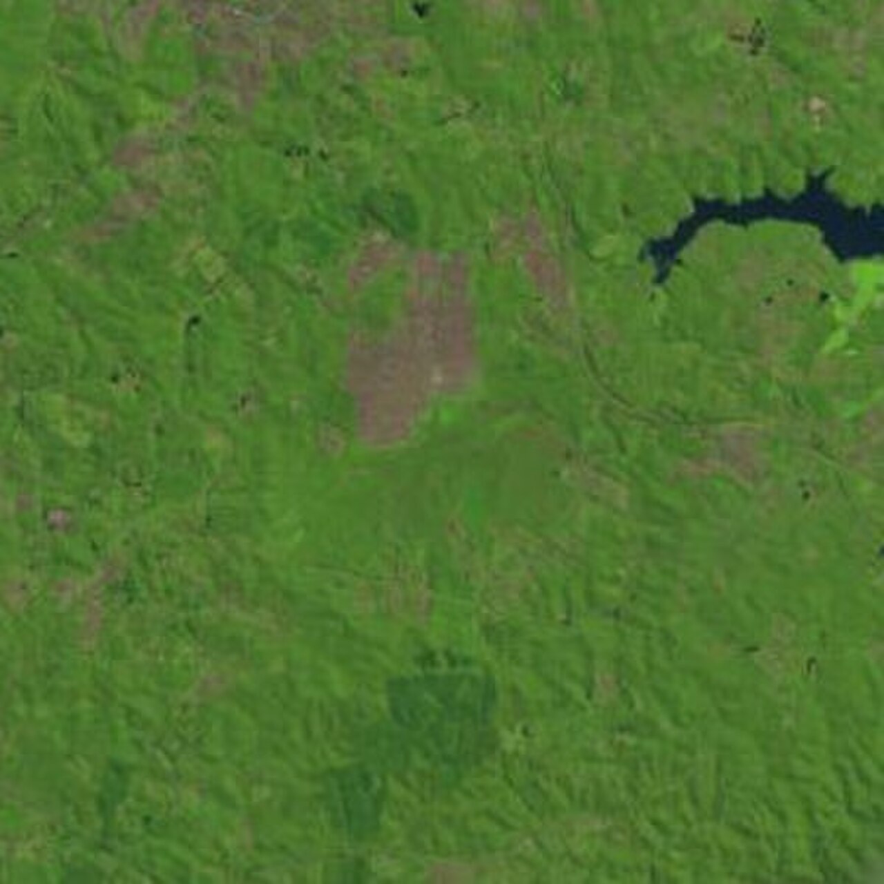
Colônia Crater, or Cratera de Colônia, is a large meteorite-impact structure in São Paulo’s Parelheiros district. It is recognised as a protected geosite and represents an important geological feature within the metropolitan area. The attraction is a natural landform rather than a conventional built visitor site, making it most relevant to travellers interested in geology, landscape and the preserved natural character of São Paulo’s southern outskirts. Colônia Crater, known locally as Cratera de Colônia, is a large meteorite-impact structure situated in the Parelheiros district of São Paulo, Brazil. It ranks as a protected geosite of significant geological interest. The crater formed from an ancient meteorite impact and represents one of the notable natural landmarks within the sprawling metropolitan area of São Paulo. Its protected status acknowledges both scientific value and conservation importance for future study and public appreciation of Brazil's geological heritage. Public access status is not clearly documented. As a protected geosite, restrictions may apply. Visitors must verify current access policy through official São Paulo municipal or environmental channels before traveling.
Checked 2026-08-26 · Source
The place consists of the impact structure, its terrain and vegetation developed across the formation over a long geological timespan. Its interest lies in the shape of the land and the scientific importance of an ancient collision, not in galleries, rides or a collection of indoor exhibits. The surrounding Parelheiros landscape adds green areas and water systems, giving the crater a distinctly natural setting within São Paulo’s enormous urban region. The site comprises the preserved meteorite-impact structure itself, with characteristic geological formations resulting from the ancient collision. As a protected geosite, the area maintains natural features associated with impact craters, including disturbed rock layers and terrain morphology. Vegetation has grown over the structure across millennia since formation. The surrounding Parelheiros district contains additional green areas and water systems. No visitor center, museum, or built infrastructure details are recorded.
Checked 2026-08-26 · Source
Set aside roughly one to three hours for exploring and observing the crater area, depending on walking pace and interest in geology. The visit is best treated as outdoor landscape exploration rather than a timed museum circuit. Weather, daylight and the amount of accessible ground will affect the experience. Travellers with a strong interest in geological formations may want more time to examine terrain patterns and vegetation across the protected site.
Checked 2026-08-26 · Source
Daylight is the appropriate period for experiencing this natural geosite because the attraction depends on terrain, vegetation and landscape views. São Paulo’s drier months from April through September can make outdoor exploration more comfortable, while rainier periods from October through March may produce muddier ground. Choose a weather window that leaves enough daylight for the outward journey and return, since the place is not described as a night-lit attraction.
Checked 2026-08-26 · Source
Colônia Crater is presented as a protected natural geosite rather than a conventional ticketed attraction. The place record supplies no stated admission product or visitor payment arrangement. Its protected status is central to the experience: the geological landform should be treated as a conservation site, with access and movement shaped by the surrounding natural area. Plan for outdoor exploration, not a staffed entrance, exhibition hall or commercial visitor complex.
Checked 2026-08-26 · Source
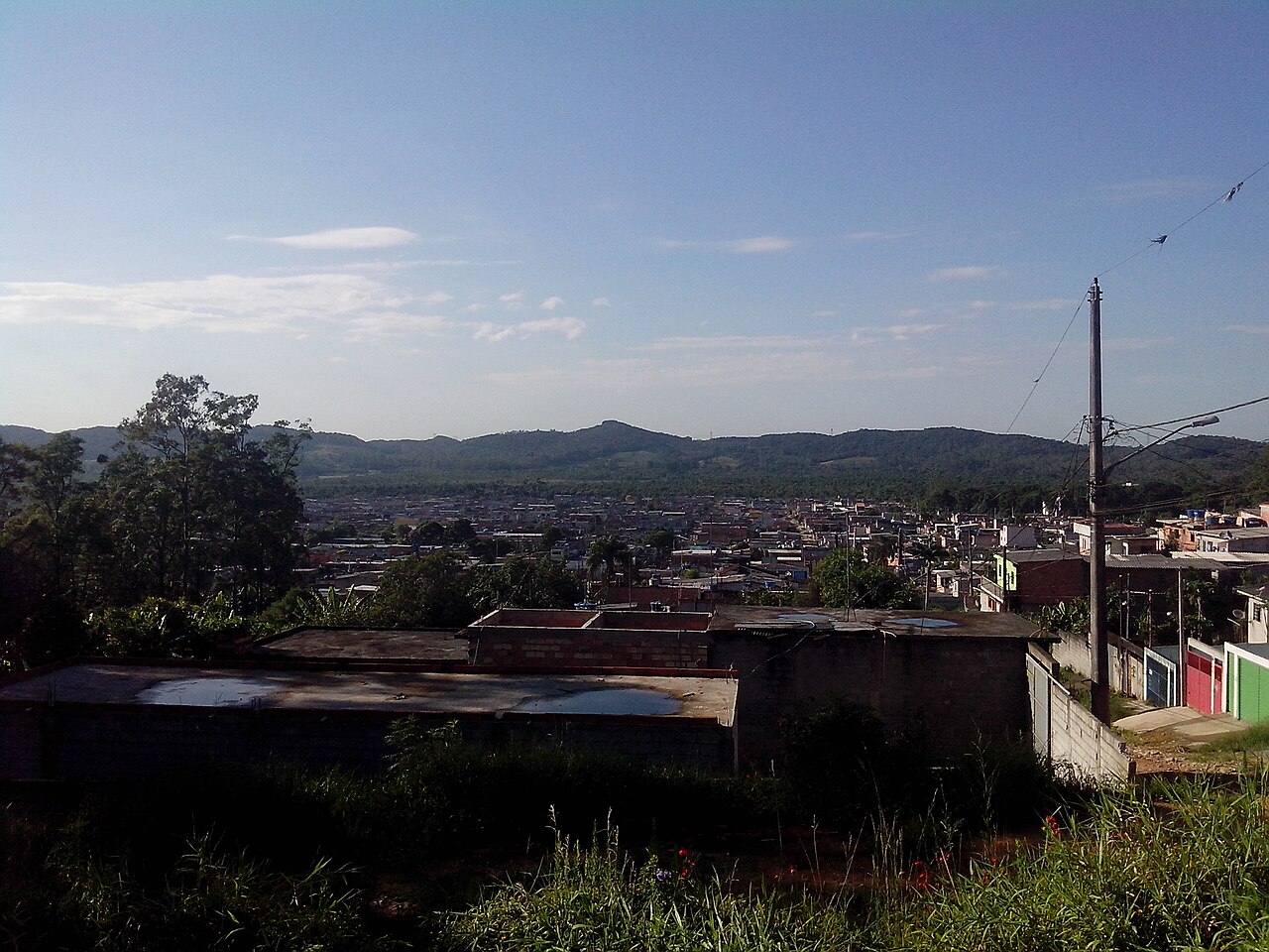
The crater is in Parelheiros, far south of São Paulo’s central business areas. Reaching it requires a dedicated journey through the city’s southern road network, and the final approach is associated with a natural, protected setting rather than a developed urban attraction. The supplied place record names no specific station, route, parking area or marked trailhead. Treat the trip as a remote-feeling excursion and reserve time for both approach and return.
Checked 2026-08-26 · Source
Prepare for an undeveloped outdoor environment: carry water, suitable footwear and basic supplies for time away from dense urban services. Rain can make natural or unpaved ground difficult, and daylight matters for returning safely. Remain on established access areas and avoid disturbing geological surfaces or vegetation. The crater is protected for its natural and scientific value, so responsible behaviour is part of visiting the site. Do not treat the area like a conventional recreational park.
Checked 2026-08-26 · Source
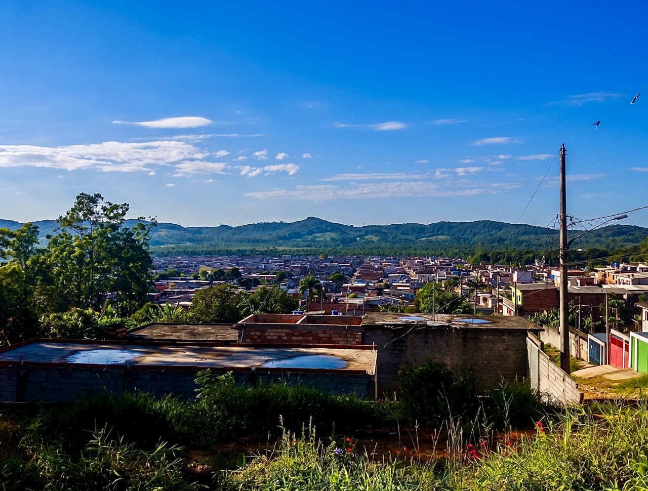
Photography works best as a study of landform, vegetation and the broad southern São Paulo landscape. Ground-level images may convey the crater through subtle terrain patterns rather than a dramatic circular view, while higher viewpoints can help communicate its overall shape. Use natural light to reveal changes in relief and texture. Because the site is protected, keep equipment and movement from damaging surfaces, plants or other sensitive parts of the geosite.
Checked 2026-08-26 · Source
Colônia Crater is in the Parelheiros district in the southern part of São Paulo.
It is a protected meteorite-impact geosite and natural landform, not a conventional indoor museum attraction.
Plan approximately one to three hours for outdoor exploration and observation, depending on walking pace and geological interest.
The main subject is the meteorite-impact structure itself, including its terrain, geological character and vegetation.
The drier period from April through September generally offers more comfortable conditions for walking outdoors than the rainier months.
Bring water, suitable footwear and weather protection for an outdoor visit in a natural protected setting.
Loading the interactive map…
The interactive map could not be loaded.
Last updated:
Source: OpenStreetMap contributors, Wikidata ·