.JPG)
.jpg)
.jpg)


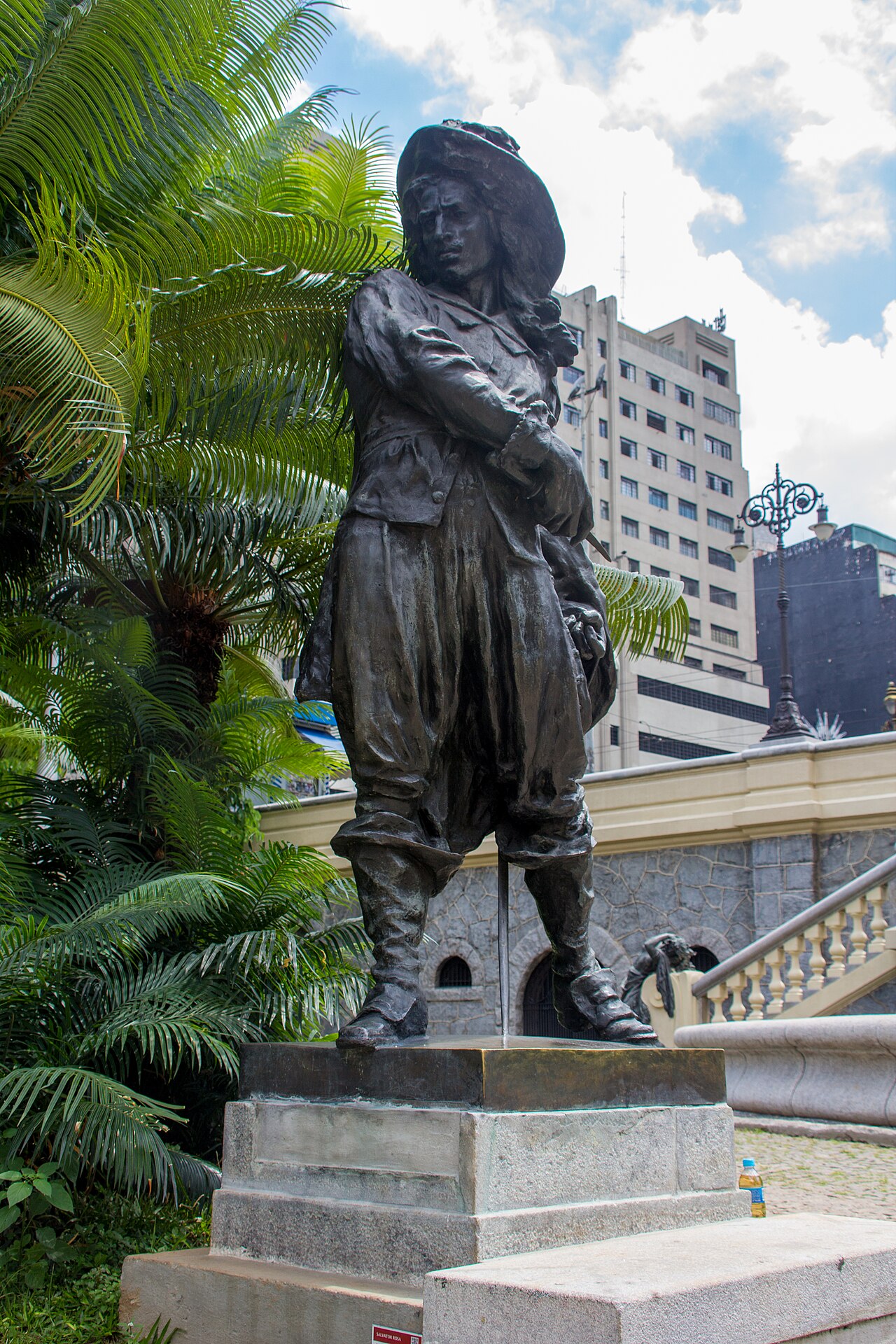
2 min walk
Salvador Rosa
- High · Heritage site
- Historic monument
Language · 11 published
Historic monument · São Paulo
Reviewed by Elena Voss · Roavina Travel Editor

This place is a Attraction. It opened in 1892. It was designed by Elisário Bahiana. It carries the CONDEPHAAT Good Class heritage designation.
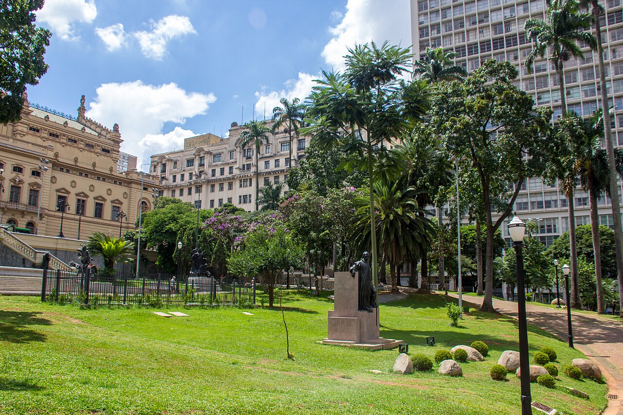
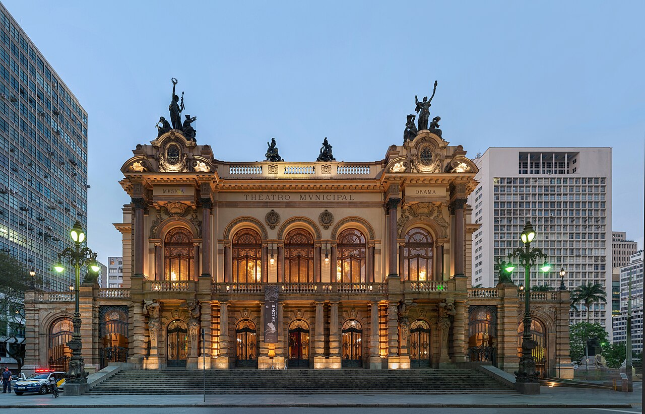
Viaduto do Chá is a historic bridge in central São Paulo, crossing the Vale do Anhangabaú between the older city centre and newer downtown. Built in the late nineteenth century, it reflects the rapid urban growth of the coffee-boom era. The bridge stands beside the Municipal Theatre, making it a useful landmark for understanding the relationship between São Paulo’s historic buildings, busy streets, and modern metropolitan life. Viaduto do Chá is a historic viaduct in central São Paulo, Brazil. Built in the late nineteenth century, it spans the Vale do Anhangabaú and connects the old city centre with the newer downtown area. The structure stands beside the Municipal Theatre of São Paulo and has long served as an important pedestrian and vehicular thoroughfare. Its name derives from the tea warehouses that once operated in the surrounding district. The viaduct represents a significant piece of São Paulo's urban development and architectural heritage, reflecting the city's rapid growth during the coffee boom era.
Checked 2026-08-26 · Source
Viaduto do Chá is an outdoor crossing rather than an enclosed attraction. Its pedestrian walkway gives visitors views across the Vale do Anhangabaú, toward the Municipal Theatre, and along the surrounding streets. The bridge also offers a close look at a historic piece of urban engineering. Street-level access connects directly with the downtown network, while nearby plazas, shops, and historic façades extend the experience beyond the bridge itself. The viaduct itself is an open structure without enclosed interior spaces. Visitors will find a pedestrian walkway with views across the Vale do Anhangabaú, the Municipal Theatre, and surrounding historic buildings. The area around the viaduct includes plazas and streets with various commercial establishments. The structure features architectural elements typical of its construction period. Street-level access points connect to the broader downtown street network. The viaduct functions as both a crossing point and a vantage position from which to observe the layered urban landscape of central São Paulo, including the contrast between historic and modern architecture.
Checked 2026-08-26 · Source
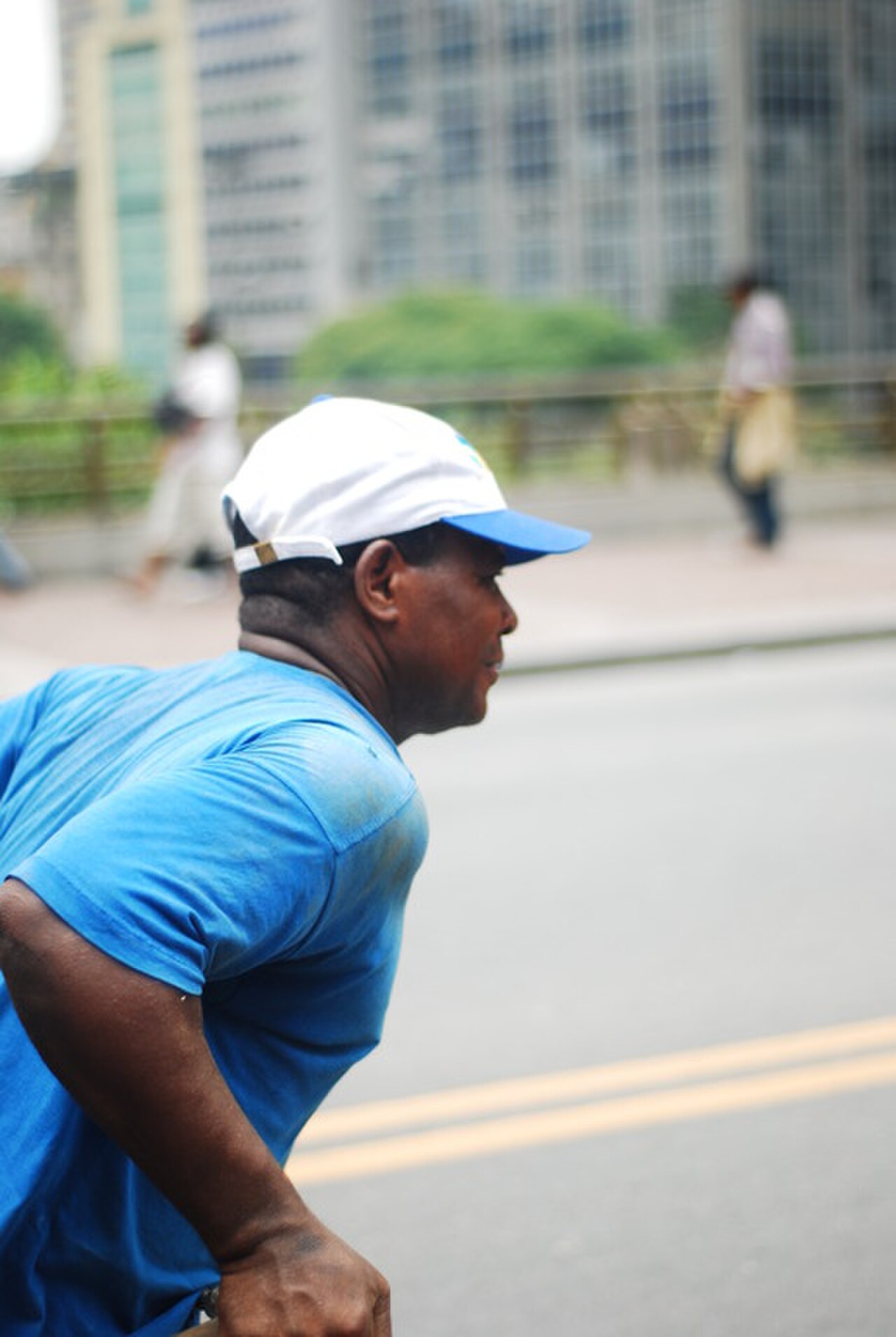
Walking across Viaduto do Chá takes only a few minutes. Allow extra time if you want to stop for views, photograph the Municipal Theatre, or study the contrasting historic and modern architecture around the valley. The bridge works best as part of a central São Paulo walking route, where a brief crossing becomes a natural link between nearby streets and cultural landmarks.
Checked 2026-08-26 · Source
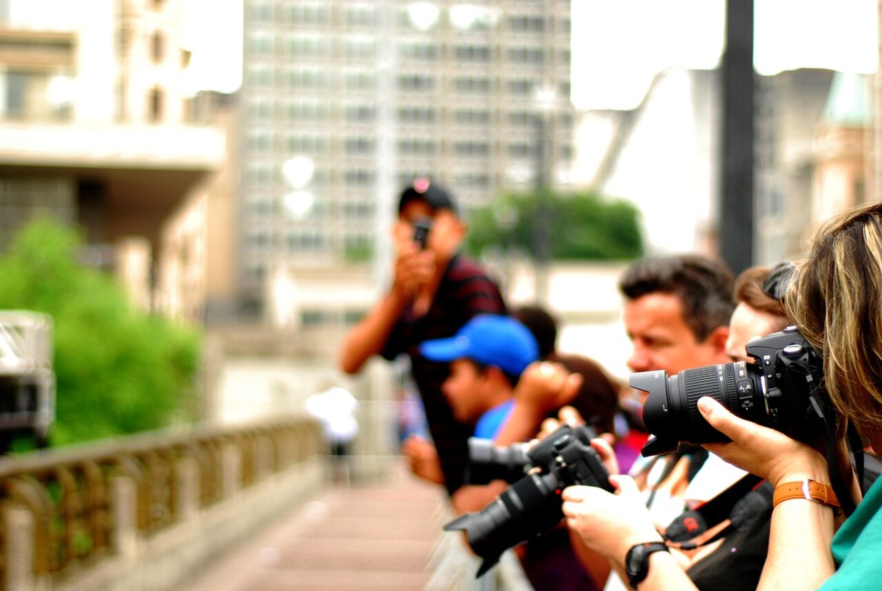
Visit during daylight when the valley, theatre, and surrounding façades are easiest to see. Weekday business hours bring active pedestrian and vehicle movement through the centre, while evenings and weekends can feel quieter. São Paulo’s rainy season generally falls from about October to March, so a wet-weather visit may require care on the walking surface. The public crossing suits a flexible stop within a broader city itinerary.
Checked 2026-08-26 · Source
Crossing Viaduto do Chá on foot is free because the bridge functions as a public thoroughfare. There is no ticketed entrance on the structure itself. A visit may still be combined with separately arranged activities nearby, including the Municipal Theatre, whose own admission arrangements are distinct from the bridge. Plan the bridge as an open urban viewpoint rather than as a paid attraction with controlled entry.
Checked 2026-08-26 · Source
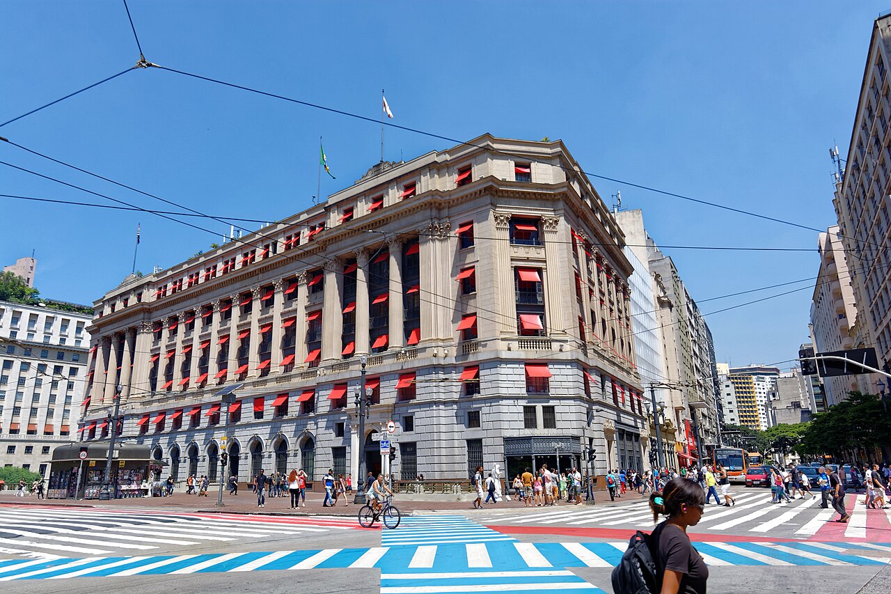
Viaduto do Chá is in central São Paulo beside the Municipal Theatre. República and Anhangabaú stations on the Line 3-Red metro serve the surrounding downtown area, and bus routes run through nearby streets. Travellers staying in the central district can reach the bridge on foot from many hotels and attractions. Walking is especially practical once you are already downtown, although traffic congestion can slow vehicle journeys.
Checked 2026-08-26 · Source
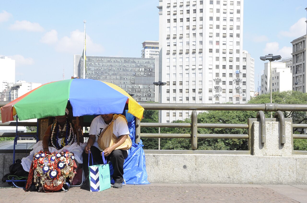
Treat Viaduto do Chá as a busy city crossing. Vehicles, buses, and pedestrians share the area, so remain alert near the roadway and use designated crossings when leaving the bridge. Keep valuables secure in the dense downtown environment, particularly when the walkway is crowded. Rain can make surfaces slippery, and reduced activity after dark calls for greater urban awareness. Avoid stopping where you obstruct people moving across the bridge.
Checked 2026-08-26 · Source
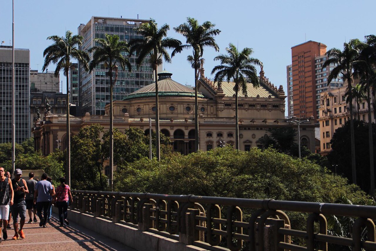
The bridge provides photographs of the Vale do Anhangabaú, the Municipal Theatre, and the layered architecture of central São Paulo. The viaduct itself is also a strong subject because its historic structure frames the surrounding urban scene. Morning and afternoon light create different views across the valley. Keep clear of traffic and pedestrian flows while taking pictures, and avoid placing a tripod where it blocks the public walkway.
Checked 2026-08-26 · Source
Yes. Viaduto do Chá is a public thoroughfare, so crossing it on foot does not require an entrance ticket.
The pedestrian crossing gives views across the Vale do Anhangabaú, the Municipal Theatre, and the contrasting historic and modern buildings of central São Paulo.
A walk across the bridge takes a few minutes. Add time for photography, views, and exploring the surrounding Municipal Theatre area.
It is in central São Paulo beside the Municipal Theatre, crossing the Vale do Anhangabaú between older and newer parts of downtown.
República and Anhangabaú stations on São Paulo’s Line 3-Red are nearby, with buses serving the surrounding central streets.
The public bridge offers views of the valley, Municipal Theatre, and downtown architecture. Take photographs without obstructing traffic or pedestrians.
Loading the interactive map…
The interactive map could not be loaded.
Last updated:
Source: OpenStreetMap contributors, Wikidata ·