
124 min walk
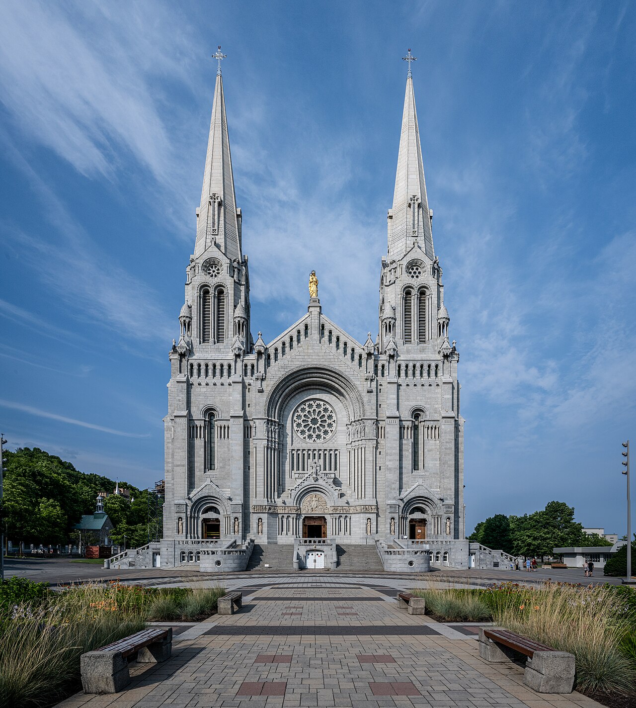
Basilica of Sainte-Anne-de-Beaupré
- Must see
- Place of worship
Language · 11 published
Activity · Quebec City
île d'Orléans
Reviewed by Elena Voss · Roavina Travel Editor
Read from the OpenStreetMap access tags; anything not listed has no tag recorded.
Set the group type to family in the planner and the day window contracts to about three quarters of a solo day.
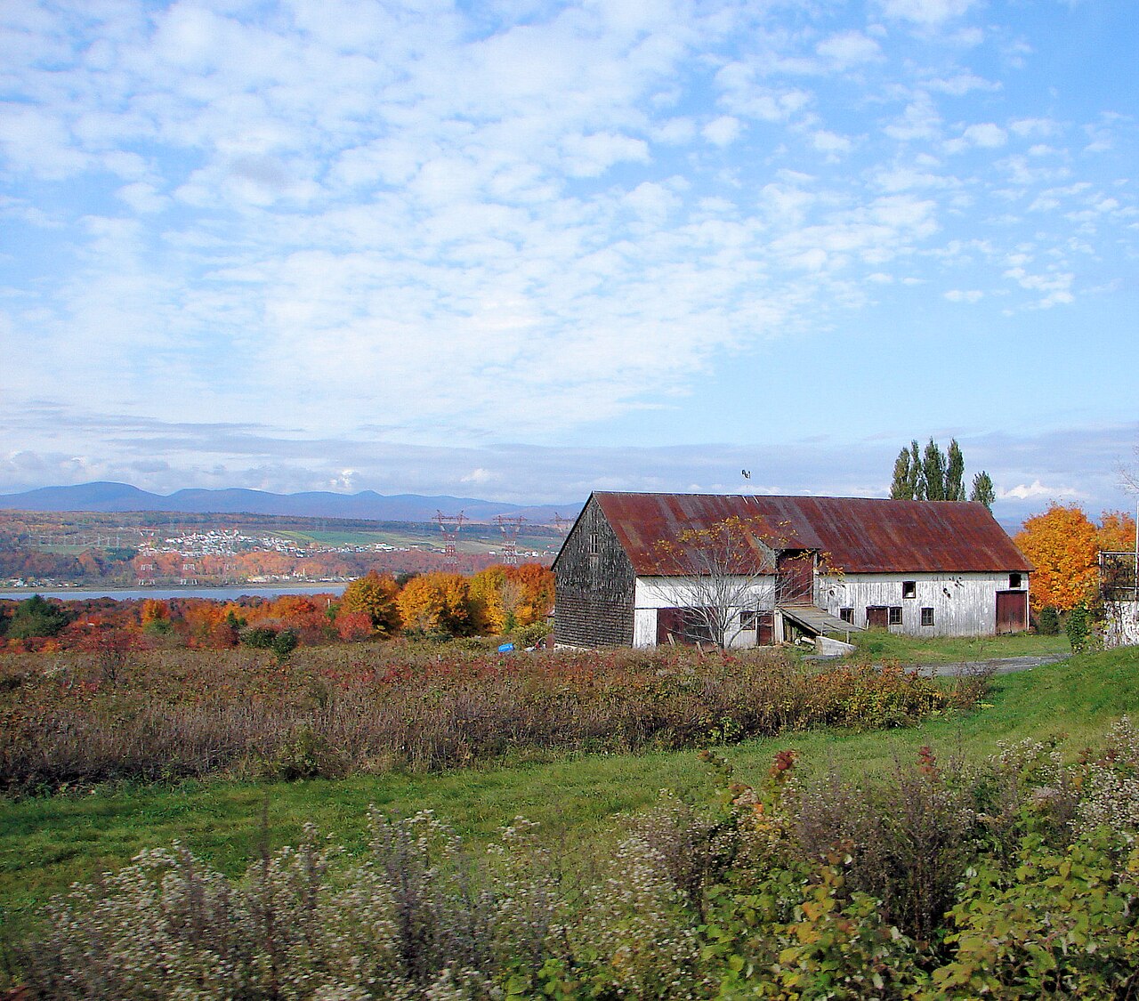
Île d’Orléans is a large agricultural island in the Saint Lawrence River downstream from Québec City. It is about 34 kilometres long and up to 8 kilometres wide, connected to the mainland by the Pont de l’Île bridge. Six municipalities give the island a village-by-village character: Sainte-Pétronille, Saint-Laurent, Saint-Jean, Saint-François, Sainte-Famille and Saint-Pierre. French colonial settlement, working farms, historic buildings and open river horizons create a rural excursion close to the city without leaving the Québec City area. Île d'Orléans is a large island in the Saint Lawrence River, located downstream from Québec City. The island measures approximately 34 kilometres in length and 8 kilometres at its widest point. It is connected to the mainland by the Pont de l'Île bridge. The island comprises six municipalities and is known for its agricultural heritage, historic villages, and scenic river views. It has been settled since the French colonial period and retains a distinct rural character despite its proximity to an urban centre. The island remains accessible year-round. Winter visits offer solitude and snow-covered landscapes, but farm operations, roadside stands, and many producer activities are reduced or suspended. Visitors should verify specific establishment availability before travelling.
Checked 2026-08-26 · Source
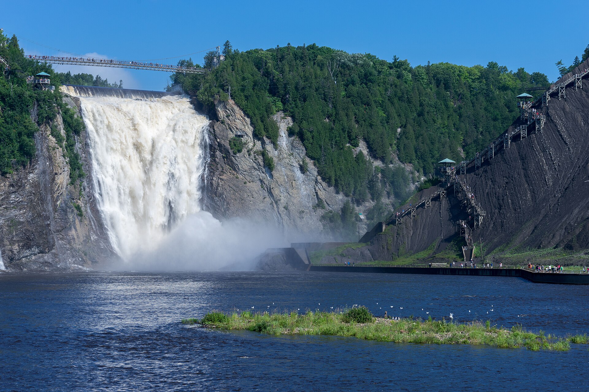
The Chemin Royal circles the island and links its villages, churches, heritage homes, farmsteads, roadside stands and producers. Agriculture is central to the experience: strawberries, apples and vegetables appear in the island’s fields and farm shops, while cideries add a distinctive local product. Shoreline viewpoints open toward the Saint Lawrence River, the Laurentian Mountains, Montmorency Falls and Québec City. The pleasure comes from combining several small discoveries—village streets, farms, views and local food—rather than looking for one enclosed attraction.
Checked 2026-08-26 · Source
Driving the complete Chemin Royal circuit takes about one to two hours without stops. A useful visit lasts at least half a day, while a full day gives enough time for several villages, farm shops, producers, meals and shoreline pauses. Keep the pace unhurried: narrow roads, agricultural traffic and scenic viewpoints reward stopping rather than rushing from one end of the island to the other. The island works best as a self-contained excursion from Québec City.
Checked 2026-08-26 · Source
Île d’Orléans can be reached throughout the year, but each season changes the experience. Winter brings snow and a quieter agricultural landscape, with fewer farm activities. Spring shows fields and orchards beginning a new cycle. Summer brings the fullest farm activity and roadside produce, while autumn adds harvest colour and seasonal food interest. Weather affects both roads and working farms, so shape the day around the season: sightseeing in winter, produce and outdoor stops in summer, and harvest landscapes in autumn.
Checked 2026-08-26 · Source
There is no general admission charge for entering the island or driving its public roads. Costs arise at individual producers, attractions, restaurants and tastings. Some farm experiences involve a fee, while farm shops and roadside stands centre on purchasing produce, cider or prepared food. The island’s small rural businesses make payment planning useful, particularly when visiting several stops. Think of the visit as a landscape and food excursion with optional purchases, not as a single ticketed attraction.
Checked 2026-08-26 · Source
Reach the island from Québec City via the Pont de l’Île, approached from Boulevard Sainte-Anne in Beauport. A personal vehicle is the most practical way to connect the dispersed villages, viewpoints and farms along the Chemin Royal. Cycling is possible for visitors comfortable sharing roads with ordinary and agricultural traffic. After crossing the bridge, follow the island’s perimeter route and build the day around selected stops rather than trying to see every settlement quickly.
Checked 2026-08-26 · Source
Tractors and other slow agricultural equipment share the island’s narrow roads with cars, cyclists and pedestrians. Pull fully clear when stopping and avoid blocking village streets or farm entrances. Shoreline areas can lack guardrails and defined access points, while the Saint Lawrence has currents and changing conditions. Stay on public land, respect private farms and keep distance from working operations. Weather can alter road conditions and farm activity, so leave room in the itinerary for a slower drive.
Checked 2026-08-26 · Source
Photographers can build a varied day from the island’s river horizons, village churches, heritage homes, orchards, fields and roadside farm landscapes. Shoreline views face the Laurentian Mountains, Montmorency Falls and Québec City, while morning and evening light add depth to the water and rural buildings. The bridge is a crossing rather than a stopping viewpoint, so photograph it from safe legal locations. Ask before photographing inside farms or producers, and expect crops and foliage to change the scene by season.
Checked 2026-08-26 · Source
Cross the Pont de l’Île from the Québec City area, approaching it from Boulevard Sainte-Anne in Beauport. The Chemin Royal then connects the island’s villages and stops.
The island’s six villages are Sainte-Pétronille, Saint-Laurent, Saint-Jean, Saint-François, Sainte-Famille and Saint-Pierre.
The island is known for strawberries, apples, vegetables and cider, sold through seasonal producers, farm shops and roadside stands.
The full driving circuit takes about one to two hours without stops. Plan at least half a day, or a full day for villages, farms, food and shoreline views.
Shoreline viewpoints offer views of the Saint Lawrence River, the Laurentian Mountains, Montmorency Falls and the Québec City skyline.
Summer offers the fullest farm activity and roadside produce, while autumn brings harvest landscapes. Winter is quieter and snow-covered, and spring shows the start of the agricultural season.
Loading the interactive map…
The interactive map could not be loaded.
Last updated:
Source: OpenStreetMap contributors, Wikidata ·