.jpg)

6 min walk
Vanier Park
- Must see
- Nature site
Language · 11 published
Nature site · Vancouver
Reviewed by Elena Voss · Roavina Travel Editor
| Monday | 06:00 – 22:00 |
|---|---|
| Tuesday | 06:00 – 22:00 |
| Wednesday | 06:00 – 22:00 |
| Thursday | 06:00 – 22:00 |
| Friday | 06:00 – 22:00 |
| Saturday | 06:00 – 22:00 |
| Sunday | 06:00 – 22:00 |
Checked 2026-08-31 · Source
Read from the OpenStreetMap access tags; anything not listed has no tag recorded.
Set the group type to family in the planner and the day window contracts to about three quarters of a solo day.
This place is a Park.
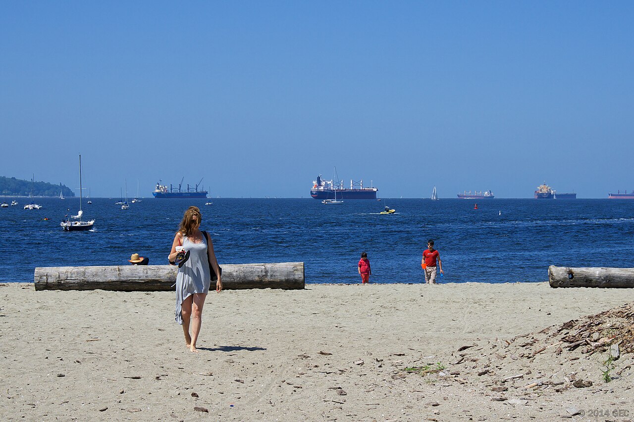
Sunset Beach Park is a waterfront green space on Vancouver's West End shore beside False Creek. The park combines a sandy beach, grass, trees, and open views towards the downtown skyline and North Shore mountains. It also forms part of the seawall route, making it useful for a relaxed walk or cycle. Its connection with Vancouver's LGBTQ+ community gives the place a social and cultural identity beyond its landscape. Sunset Beach Park is a public waterfront park located along the south shore of False Creek in downtown Vancouver. The park serves as a recreational green space with beach access and views across the water to the city skyline and North Shore mountains. It sits within the West End neighbourhood and forms part of the continuous seawall path that connects multiple waterfront parks. The area holds significance for Vancouver's LGBTQ+ community and hosts community gatherings. The park provides an urban beach experience distinct from ocean-facing shorelines elsewhere in the city. Swimming occurs at visitor discretion. False Creek water quality conditions vary. No lifeguard services are documented. Visitors should observe posted advisories and exercise personal judgement regarding water entry.
Checked 2026-08-26 · Source
The park's main elements are the sandy beach, grassy lawns, scattered trees, waterfront benches, and paved seawall promenade. Pedestrian and cycling routes continue through the wider False Creek network. The Vancouver Aquatic Centre stands near the eastern edge, adding a nearby indoor facility to the waterfront setting. This is primarily a place for views, walking, sitting, beach time, and informal recreation rather than a park built around large structures or scheduled attractions. The park contains a sandy beach area, grassy lawns, and scattered trees providing limited shade. A paved seawall promenade runs through the park, accommodating pedestrians and cyclists on separated paths. Benches line the waterfront for seating. The park connects to the broader False Creek trail network. Nearby amenities include the Vancouver Aquatic Centre at the eastern edge.
Checked 2026-08-26 · Source
A brief photo stop can take thirty minutes, while beach time, a picnic, or a longer seawall walk can extend the visit to two hours. There is no entry procedure to slow the itinerary, so choose the duration according to the weather and your route. Sunset Beach works well as part of a waterfront sequence linking English Bay, Yaletown, or Granville Island, with flexible time for pauses beside the water.
Checked 2026-08-26 · Source
Summer offers warmer conditions, longer daylight, and more comfortable time on the sand or lawns. The park remains accessible in winter, although rain and cooler temperatures shift the visit towards walking and views. Sunset times change through the year, so evening light arrives earlier in winter. Vancouver's rainy autumn and spring can still produce attractive waterfront scenes. Community gatherings may add energy to the park at different times.
Checked 2026-08-26 · Source
Sunset Beach Park is a public municipal park with no admission charge for ordinary use of the beach, lawns, benches, and seawall. You can include it in a Vancouver day without buying an attraction ticket. The adjacent Vancouver Aquatic Centre is a separate facility with its own access arrangements. Any organised activity should be treated separately from simply walking through or spending time in the public park.
Checked 2026-08-26 · Source
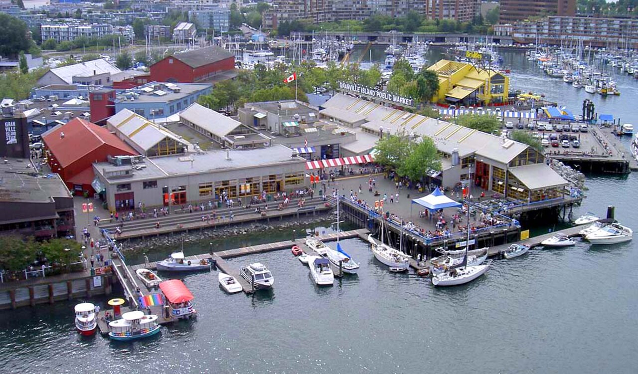
The park lies in downtown Vancouver's West End and has several access points. The seawall connects it westward with English Bay and eastward towards Yaletown. Bus routes run on nearby Davie and Burrard Streets, and many downtown hotels are within walking distance. Cyclists can use the seawall and city bike lanes. Granville Island can be reached across False Creek by water taxi or through bridge connections.
Checked 2026-08-26 · Source
The seawall carries both pedestrians and cyclists, so follow the marked movement areas and stay alert at crossings. Coastal weather can shift quickly; rain protection and an extra layer help outside summer. Water conditions in False Creek can change, and visitors should follow posted swimming or safety advisories. Evening visits bring lower light, while ordinary urban awareness remains useful. Tide levels also change the amount of exposed sand along the beach.
Checked 2026-08-26 · Source
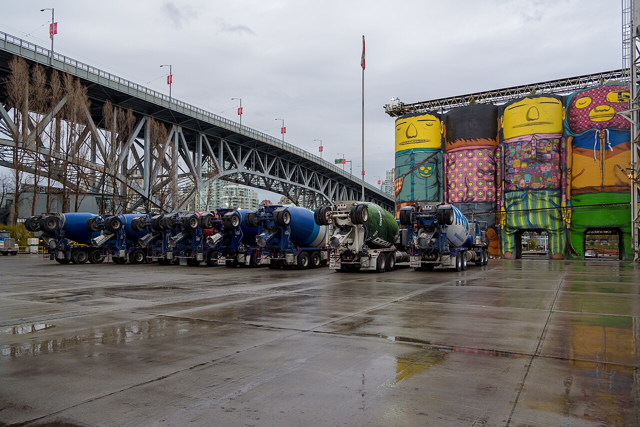
Sunset Beach frames downtown Vancouver and the North Shore mountains across False Creek. The seawall and shoreline create leading lines, while the Burrard Street Bridge adds an architectural subject towards the east. Sunset light changes by season and cloud cover; morning light gives the skyline a different character. Wide lenses suit the water and city together, while evening exposures can capture lights reflected on the creek. Keep tripods clear of the busy path.
Checked 2026-08-26 · Source
You can walk or cycle the seawall, sit on the benches, relax on the sand or lawns, take photographs, and enjoy views across False Creek.
No. Ordinary use of the public beach, lawns, benches, and seawall has no admission charge.
Allow thirty minutes for a short stop and up to two hours for beach time, a picnic, photography, or a longer seawall walk.
Yes. The seawall connects the park with English Bay and Yaletown, while city bike lanes provide additional cycling access.
The waterfront looks across False Creek towards downtown Vancouver and the North Shore mountains, with the Burrard Street Bridge visible to the east.
Yes. Granville Island lies across False Creek and can be reached by water taxi or through bridge connections.
Loading the interactive map…
The interactive map could not be loaded.
Last updated:
Source: OpenStreetMap contributors ·