
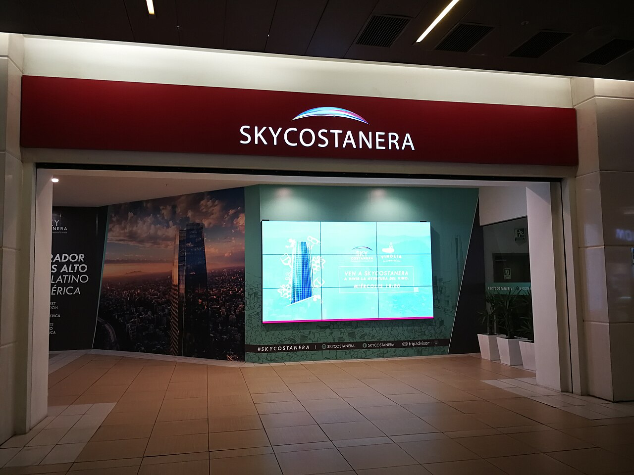
24 min walk
Sky Costanera
- Must see
- Viewpoint
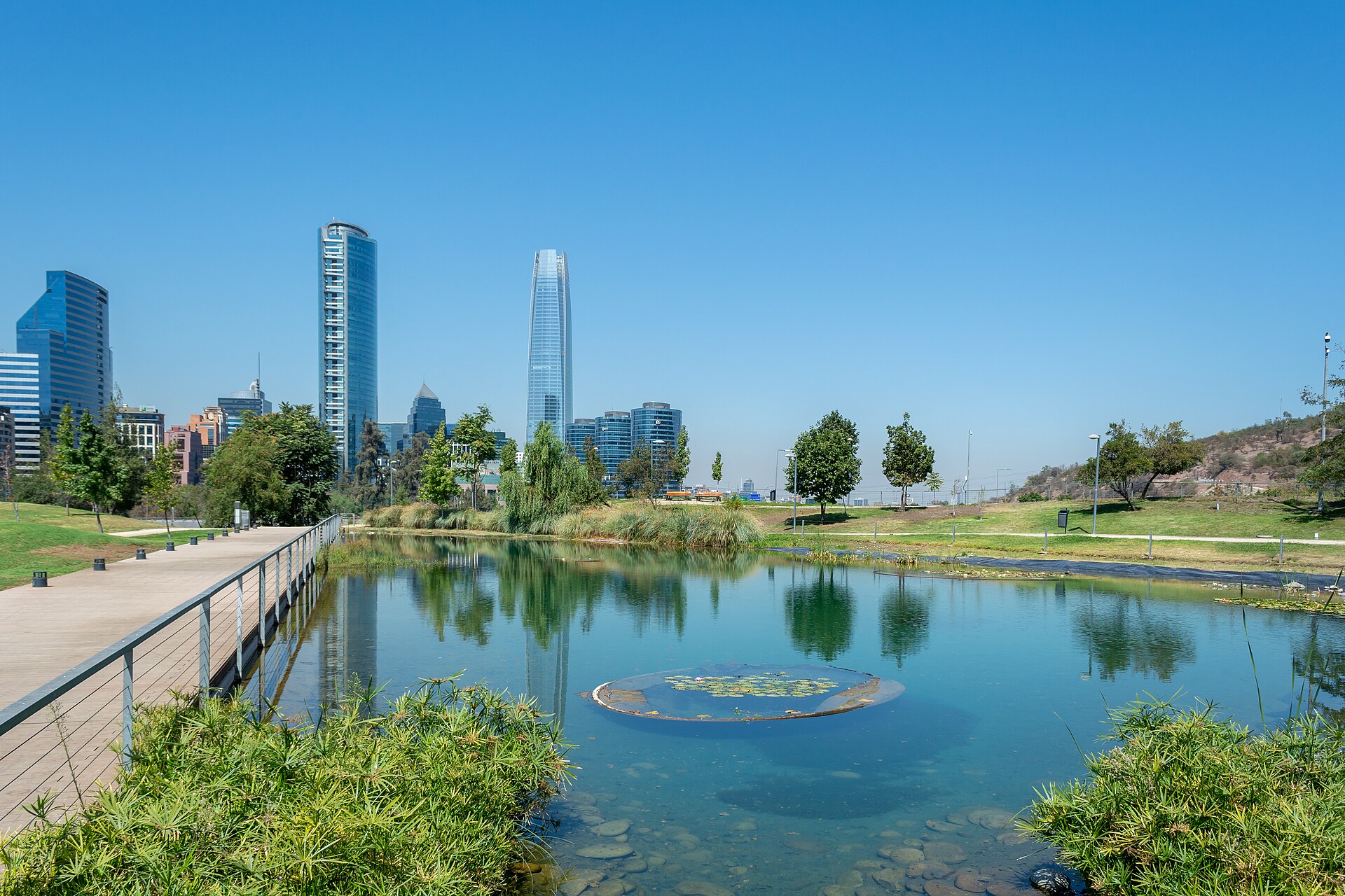
Nature site · Santiago
Parque Bicentenario
| Monday | 00:00 – 23:59 |
|---|---|
| Tuesday | 00:00 – 23:59 |
| Wednesday | 00:00 – 23:59 |
| Thursday | 00:00 – 23:59 |
| Friday | 00:00 – 23:59 |
| Saturday | 00:00 – 23:59 |
| Sunday | 00:00 – 23:59 |
Checked 2026-08-31 · Source
| Per person | Free entry |
|---|
Checked 2026-08-31 · Source
Read from the OpenStreetMap access tags; anything not listed has no tag recorded.
Set the group type to family in the planner and the day window contracts to about three quarters of a solo day.
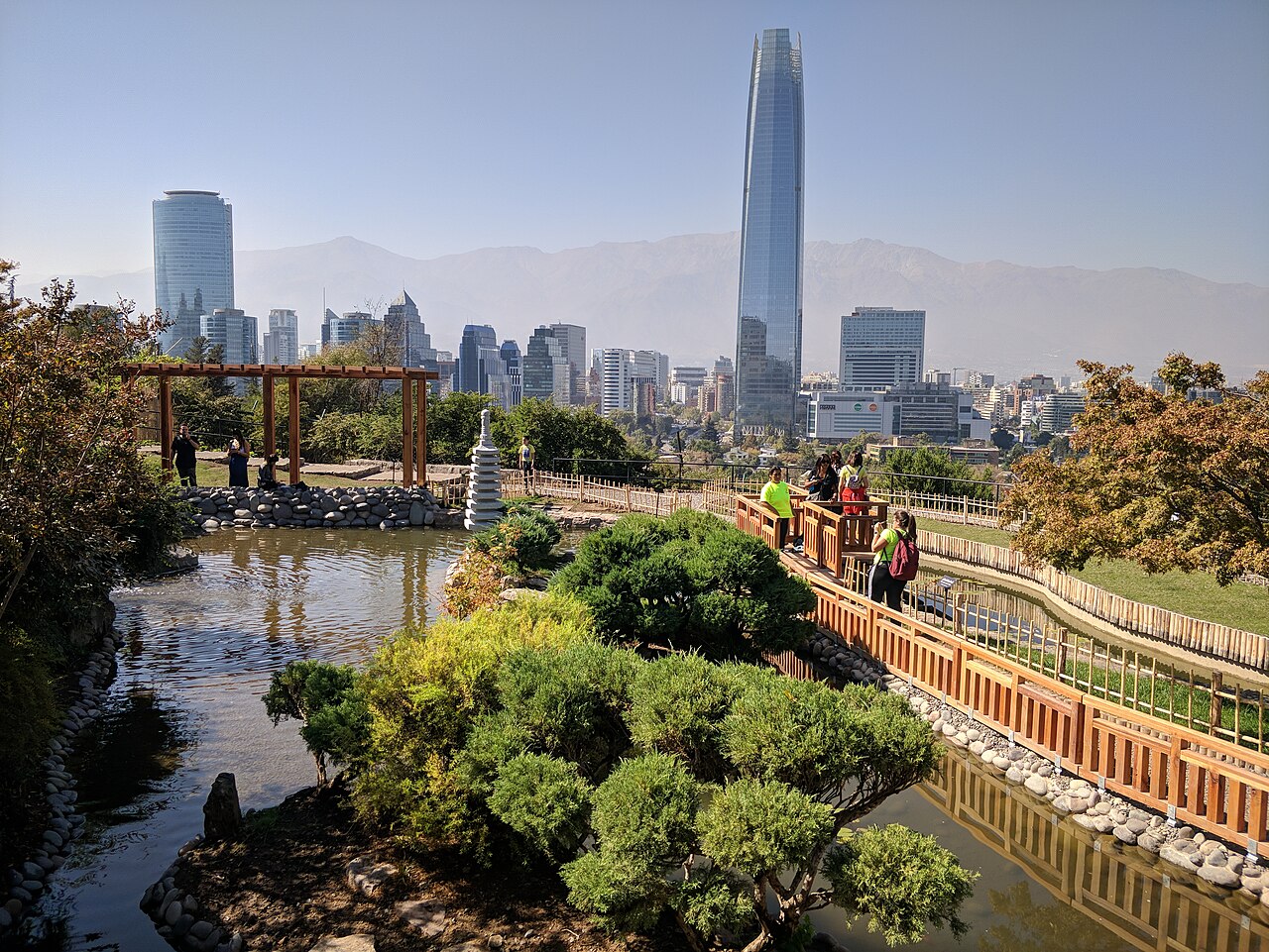
Parque Bicentenario de Vitacura is a major landscaped public park situated along the Mapocho River in the Vitacura commune of eastern Santiago, Chile. The park serves as one of the strongest public spaces in the eastern sector of the city, offering riverfront access and green infrastructure. Its development reflects broader urban renewal efforts along the Mapocho corridor. Visitors should treat this as a significant municipal amenity rather than a commercial attraction. Yes. General access is free. The general landscape is continuously accessible; facilities keep separate schedules. Rotonda Pérez Zujovic has an inclusive ramp, parking and a toilet. Yes. Red Movilidad service C33 serves Parque Bicentenario. Yes. The municipal map identifies toilets at Espoz and Rotonda Pérez Zujovic.
Checked 2026-08-31 · Source
The park features landscaped grounds along the Mapocho riverfront, with open green spaces typical of major urban parks. The Bicentennial designation suggests commemorative elements or planning milestones related to Chile's 2010 bicentennial celebrations. Visitors should explore on arrival and consult local signage for current features and any seasonal installations or maintenance zones that may affect access.
Checked 2026-08-31 · Source
The duration of a visit to Parque Bicentenario de Vitacura depends entirely on visitor intent. As a landscaped riverfront park, brief visits of thirty minutes allow for a linear walkthrough, while longer stays permit extended relaxation, observation, or informal recreation. The park's scale as a major public space suggests it could support half-day engagement for those seeking prolonged exposure to green space in eastern Santiago. No guided tour structure or mandatory circuit is indicated. Visitors should allocate time according to personal preference, weather conditions, and whether combining the visit with other Vitacura or Mapocho corridor destinations.
Checked 2026-08-31 · Source
The general outdoor park is accessible daily 00:00-23:59; events, restaurants, toilets and staffed activities keep separate schedules. Events, worship, maintenance and security measures can alter ordinary access. Santiago's Mediterranean climate offers warm, dry summers and mild, wet winters, which shapes park usability throughout the year. Daylight hours vary significantly by season, with extended evening light in summer months. Morning and late afternoon visits may offer more comfortable temperatures during peak summer heat. Rainfall concentrates in winter months, potentially affecting path conditions and overall enjoyment.
Checked 2026-08-31 · Source
General park access is free; festivals, restaurants and registered activities may charge separately. Premium products and organised activities use separate terms. Parque Bicentenario de Vitacura operates as a public municipal park. Any commercial activities, special events, or facility rentals within the park may operate under separate arrangements. Visitors carrying payment methods as precaution should not interpret this as confirmation of fees. Current policy must be established through direct enquiry or official municipal communication channels.
Checked 2026-08-31 · Source
Use Red Movilidad service C33 toward Parque Bicentenario. Rotonda Pérez Zujovic combines an inclusive ramp, parking and a toilet; the address is Av. Bicentenario 3800. This is the named public-transport approach for an independent visit. The park is located in the Vitacura commune of eastern Santiago, adjacent to the Mapocho River. Taxi and ride-hail services operate throughout the city. Driving access may be possible with parking availability subject to local conditions. The park's riverfront position suggests potential connectivity to the Mapocho corridor pathway network. Visitors should consult current mapping services, municipal transport information, or local accommodation providers for precise routing from their origin point in Santiago.
Checked 2026-08-31 · Source
Municipal plans identify inclusive ramps at Alonso de Córdova and Rotonda Pérez Zujovic, plus parking and toilets at multiple entrances. As with any major urban park, visitors should maintain awareness of personal belongings and surroundings. Path surfaces and lighting conditions are unverified and may vary by zone and time. Visitors should observe standard urban park precautions: staying on apparent pathways, respecting any closed areas, supervising children near water features, and noting emergency access points. Weather conditions can change rapidly; sun protection and hydration warrant attention during warm periods. Local signage should govern behaviour where present.
Checked 2026-08-31 · Source
The landscaped riverfront setting of Parque Bicentenario de Vitacura offers photographic potential, with green infrastructure, possible river views, and urban context. No photography restrictions are documented. Visitors should exercise standard respect for other park users' privacy and avoid intrusive equipment setups without apparent permission. Morning and evening light may enhance landscape photography, though Santiago's atmospheric conditions including seasonal smog may affect clarity. Tripod use, commercial photography, or drone operation would typically require specific authorisation from municipal operators, though no policy is recorded. Photographers should be prepared to adapt to uncontrolled public conditions and respect any on-site signage regarding restricted activities.
Checked 2026-08-31 · Source
Yes. General access is free.
The general landscape is continuously accessible; facilities keep separate schedules.
Rotonda Pérez Zujovic has an inclusive ramp, parking and a toilet.
Yes. Red Movilidad service C33 serves Parque Bicentenario.
Yes. The municipal map identifies toilets at Espoz and Rotonda Pérez Zujovic.
Yes. Eastern and western sectors have play areas for ages 1-6 and 5-12.
Loading the interactive map…
The interactive map could not be loaded.
Last updated:
Source: OpenStreetMap contributors, Wikidata ·