
.jpg)
.jpg)
.jpg)


1 min walk
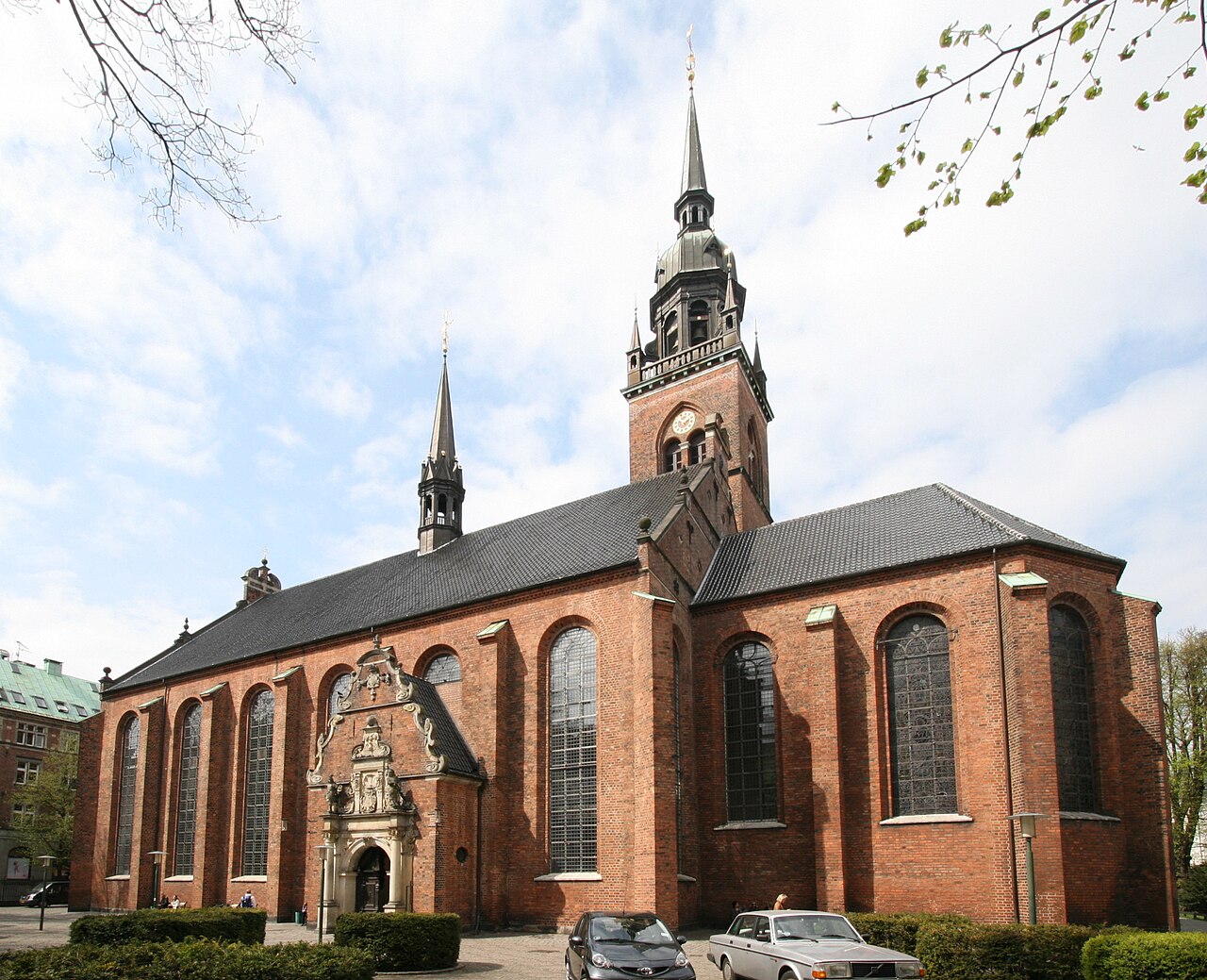
Church of the Holy Ghost
- High
- Place of worship
Language · 11 published
Historic monument · Copenhagen
Reviewed by Elena Voss · Roavina Travel Editor
This place is a Attraction.
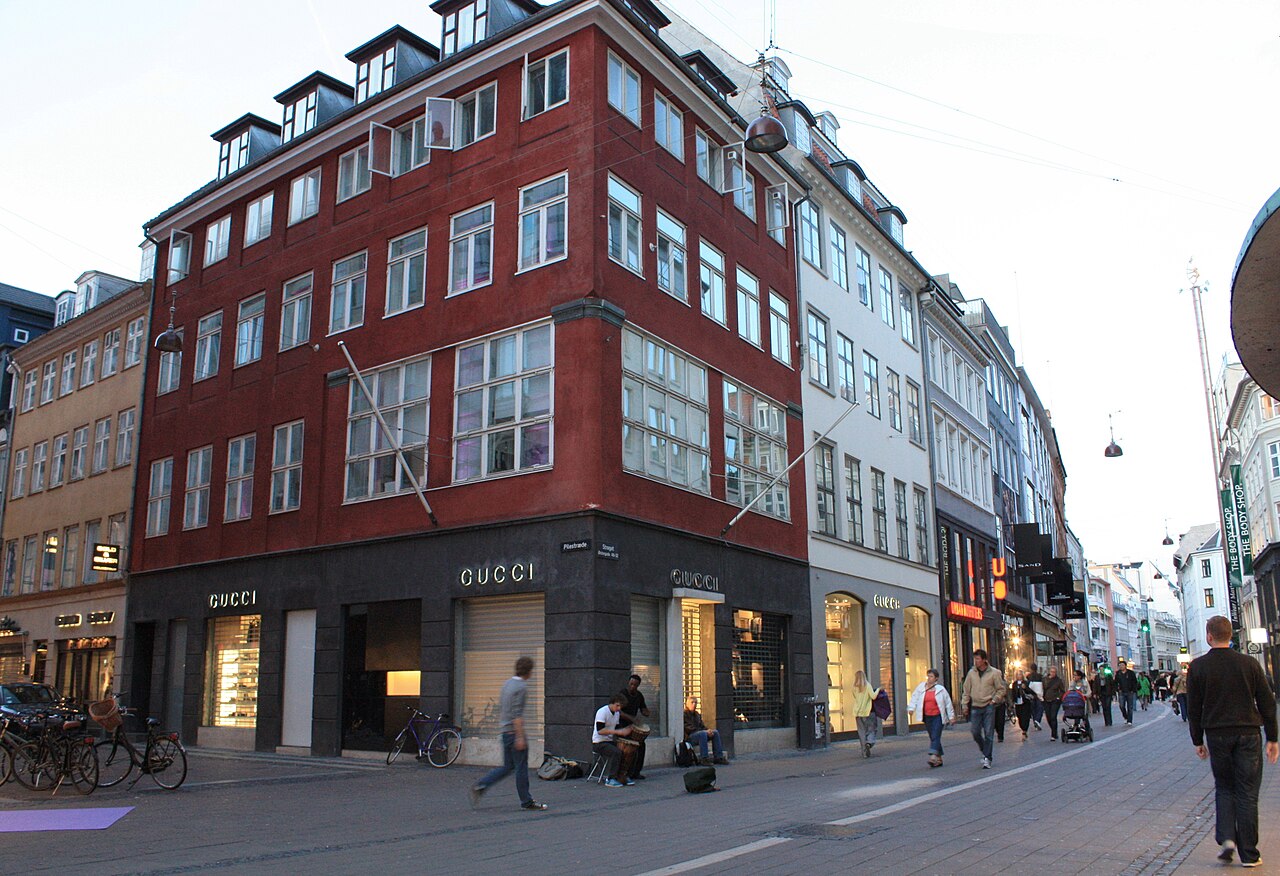
Strøget is Copenhagen’s principal pedestrian shopping route through the historic city centre. It links City Hall Square with Kongens Nytorv through a connected sequence of streets and squares. More than a shopping address, it is a lively public space where residents and visitors stroll, browse, meet, eat and watch city life unfold. Its central position makes Strøget a useful spine for exploring nearby landmarks on foot. Strøget is Copenhagen's principal pedestrian shopping street, one of the longest of its kind in Europe. The street stretches through the historic city centre, connecting City Hall Square to Kongens Nytorv. Its name derives from Danish dialect meaning 'to stroll' or 'to wander'. The thoroughfare comprises multiple contiguous streets that together form a continuous pedestrian zone. Strøget serves as both a commercial artery and a significant public space in Danish urban life, attracting residents and visitors for shopping, socialising, and experiencing Copenhagen's street-level culture. The main pedestrian route prohibits motor vehicles, though intersecting streets and delivery access points may have limited vehicle presence during designated hours.
Checked 2026-08-26 · Source
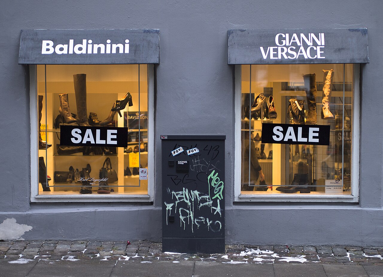
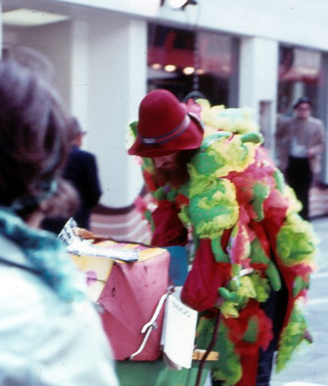
Along the route are international retailers, Danish design shops, independent boutiques, cafés, restaurants and street performers. The surrounding architecture mixes historic façades with later commercial buildings, while squares such as Amagertorv create pauses in the continuous pedestrian flow. The Stork Fountain is a recognisable point along the route. Side streets lead toward additional shops, cultural places, churches and central Copenhagen attractions. The street contains numerous retail establishments ranging from international flagship stores to Danish design shops and smaller independent boutiques. Visitors will find cafes, restaurants, and street performers along the walking route. Architectural features include historic buildings alongside more contemporary structures. Notable points of interest along or near the route include the Stork Fountain on Amagertorv square and various church spires visible from the street.
Checked 2026-08-26 · Source
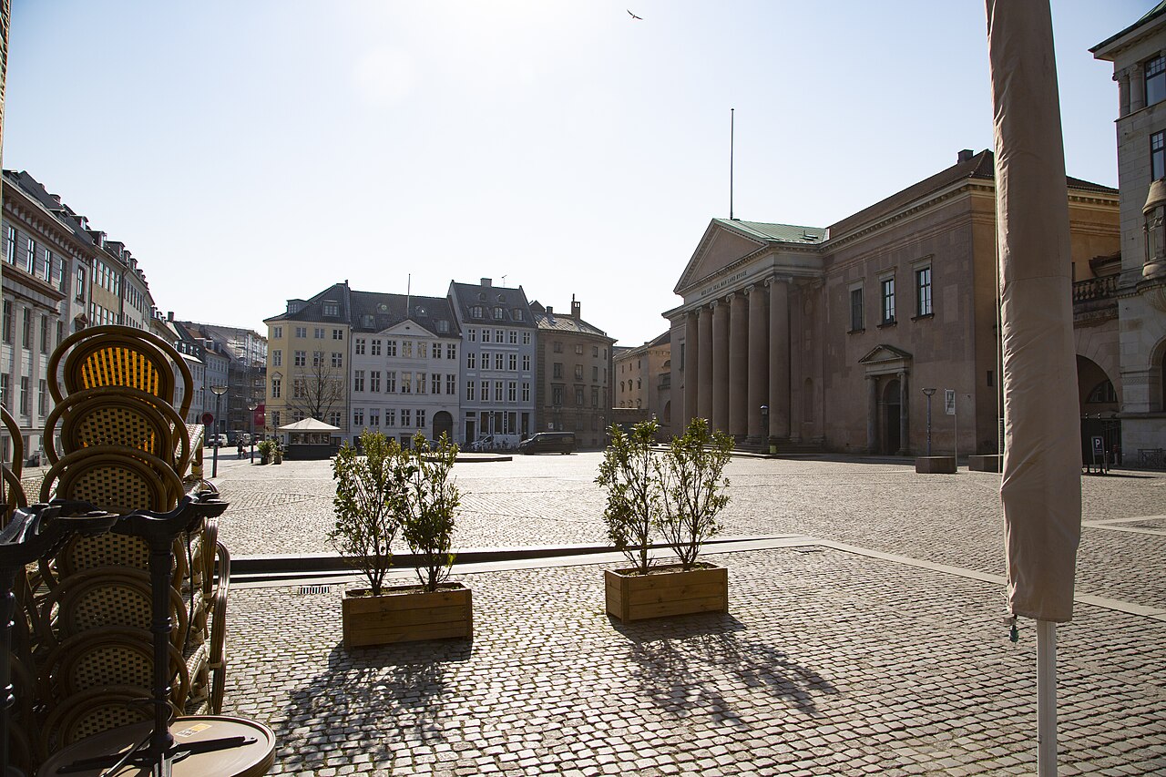
Walking from one end of Strøget to the other takes roughly fifteen to twenty minutes without stops. In practice, allow at least one to two hours if you want to browse shops, pause at squares, watch performers or eat along the way. The route becomes more rewarding when you include adjoining streets rather than rushing straight through. It can serve as a short stroll or as the central thread of a half-day city-centre exploration.
Checked 2026-08-26 · Source
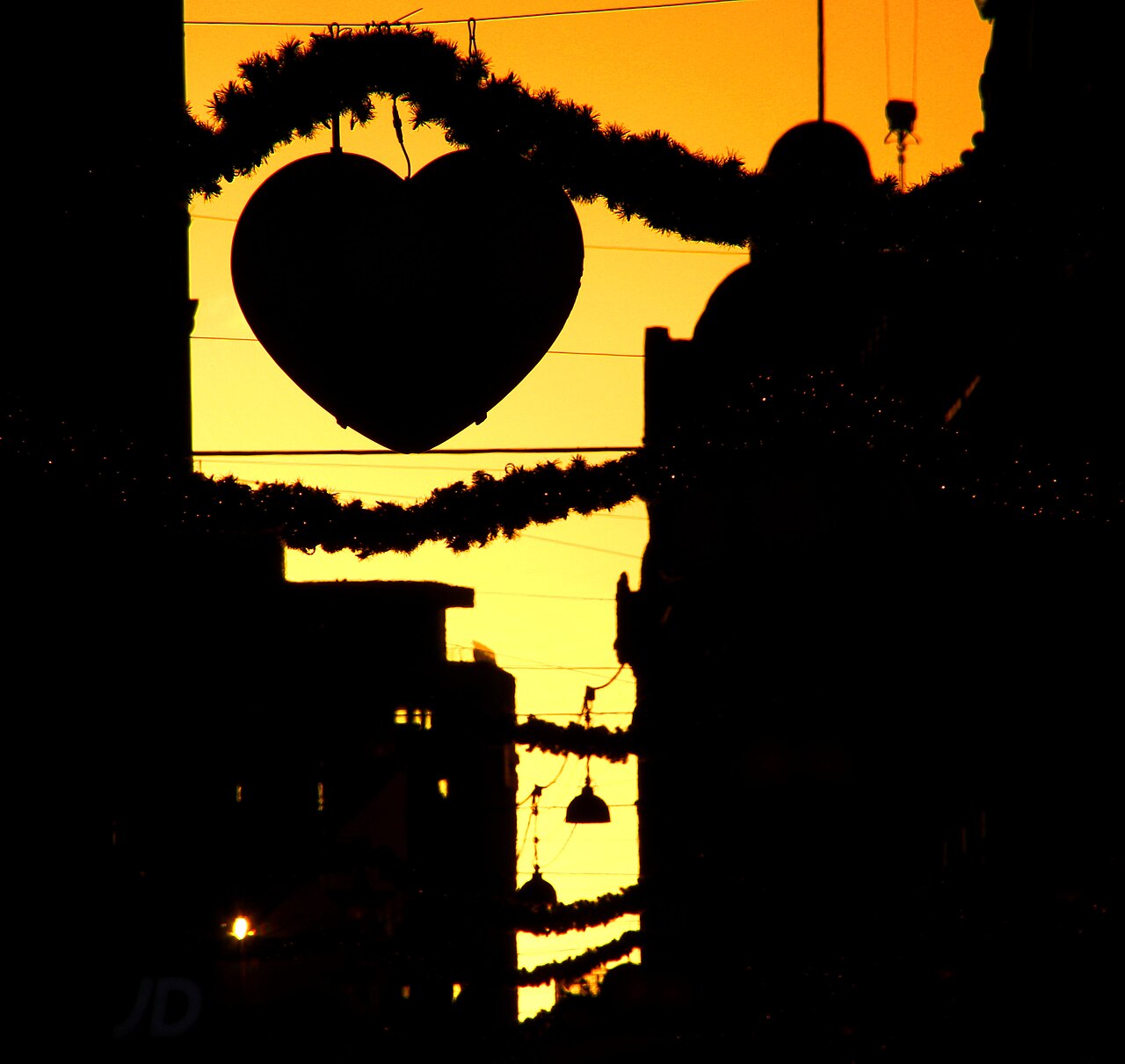
Strøget is a public pedestrian route, so the street itself can be enjoyed throughout the day and in the evening. Daytime brings the clearest access to shops, while evening offers a different atmosphere through illuminated façades, restaurants and quieter browsing. Summer daylight supports long walks, and winter decorations add seasonal character. Weather changes the comfort of an outdoor visit, so combine the route with indoor stops when conditions are cold or wet.
Checked 2026-08-26 · Source
Walking along Strøget is free because it is a public pedestrian thoroughfare. Your spending depends on what you choose to do: shopping, dining, refreshments and optional contributions to street performers create the costs. The route works well for every budget because browsing the architecture and public spaces requires no purchase. Carry a payment method suitable for the shops and cafés you plan to use, and treat each business as a separate stop.
Checked 2026-08-26 · Source
Strøget is easy to build into a central Copenhagen route. Copenhagen Central Station is within walking distance to the west, while Kongens Nytorv metro station serves the eastern end. Buses reach streets around the pedestrian zone, and cycling routes approach from parallel streets. Motor vehicles do not use the main pedestrian stretch as an ordinary through road, so drivers should leave the car outside the route and continue on foot.
Checked 2026-08-26 · Source
Crowds can become dense, particularly around popular shops, squares and performers. Keep bags and phones secure while moving through busy areas, and pay attention when crossing adjoining streets where bicycles and vehicles may pass. Some surfaces can be uneven or cobbled, which matters for wheeled luggage and mobility devices. Weather can change quickly, so a flexible route with cafés, shops and covered indoor attractions makes the walk more comfortable.
Checked 2026-08-26 · Source

Strøget offers photographs of historic façades, public squares, shop windows, fountains, street performers and everyday Copenhagen life. Early or late light changes the mood of the route, while busy periods provide lively street scenes. Keep tripods and large equipment out of the pedestrian flow. Ask before making close portraits of performers or entering private shop interiors with a camera, and respect any request from a business or individual.
Checked 2026-08-26 · Source
Yes. Walking along the public pedestrian route has no admission charge; spending comes from shopping, food, drinks and optional performer contributions.
The complete route is approximately 1.1 kilometres and takes about fifteen to twenty minutes to walk without stops.
The route includes international retailers, Danish design shops, independent boutiques, cafés, restaurants, public squares and street performers.
The main route is designed for pedestrians. Cycling routes run on nearby parallel streets, making it easier to continue by bicycle around the shopping zone.
Amagertorv and the Stork Fountain are notable points along the route, with churches, shops and other central attractions nearby.
Walk slowly from one end to the other, pause in the squares, browse side streets and combine the route with a café, restaurant or nearby attraction.
Loading the interactive map…
The interactive map could not be loaded.
Last updated:
Source: OpenStreetMap contributors, Wikidata ·