
5 min walk
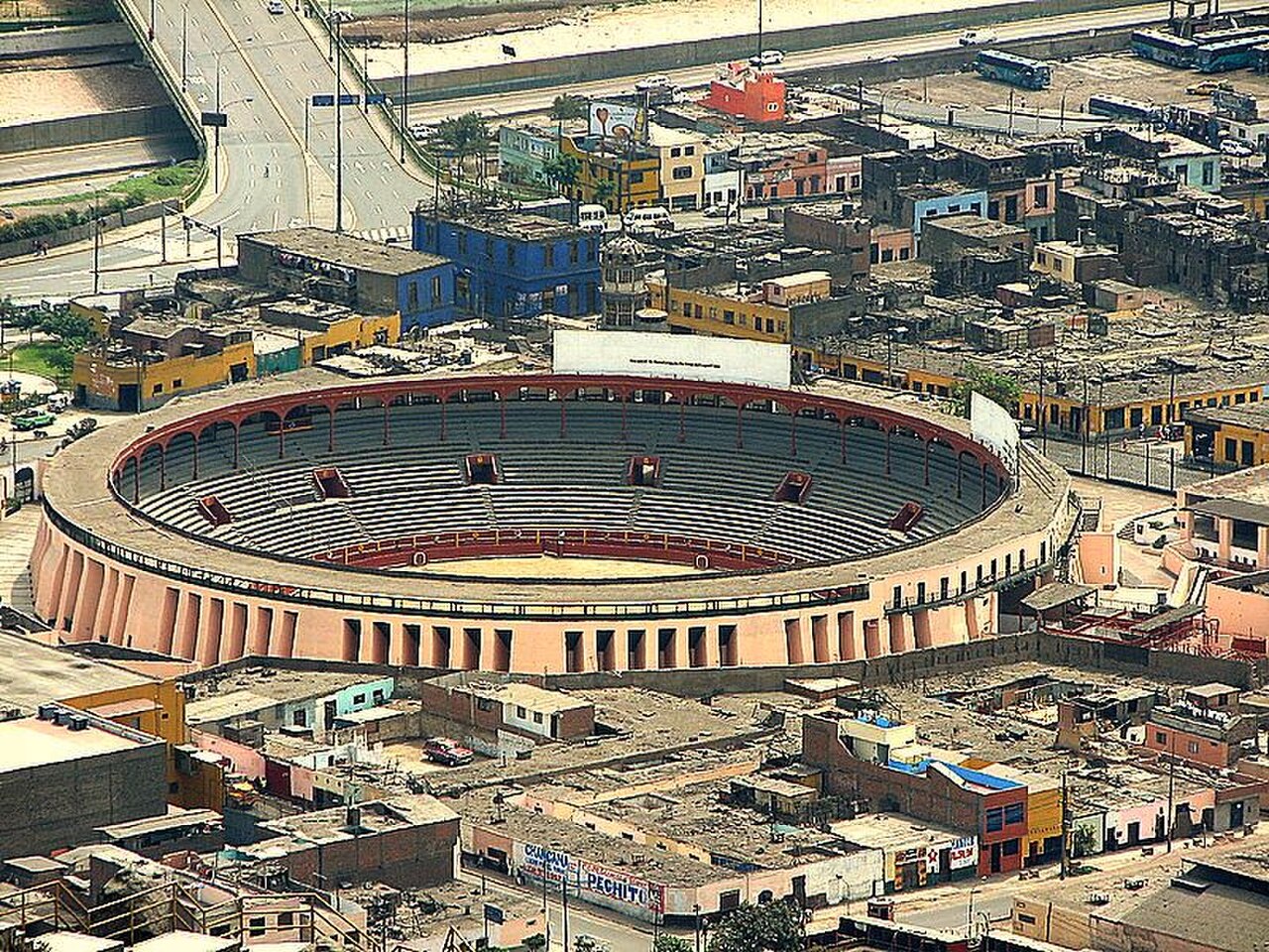
Acho Bullring
- Must see
- Activity
Language · 11 published
Activity · Lima
Reviewed by Elena Voss · Roavina Travel Editor
| Monday | 00:00 – 23:59 |
|---|---|
| Tuesday | 00:00 – 23:59 |
| Wednesday | 00:00 – 23:59 |
| Thursday | 00:00 – 23:59 |
| Friday | 00:00 – 23:59 |
| Saturday | 00:00 – 23:59 |
| Sunday | 00:00 – 23:59 |
Checked 2026-08-31 · Source
Read from the OpenStreetMap access tags; anything not listed has no tag recorded.
Set the group type to family in the planner and the day window contracts to about three quarters of a solo day.
It carries the cultural heritage of Peru heritage designation.
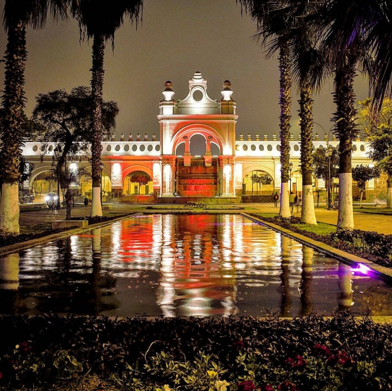
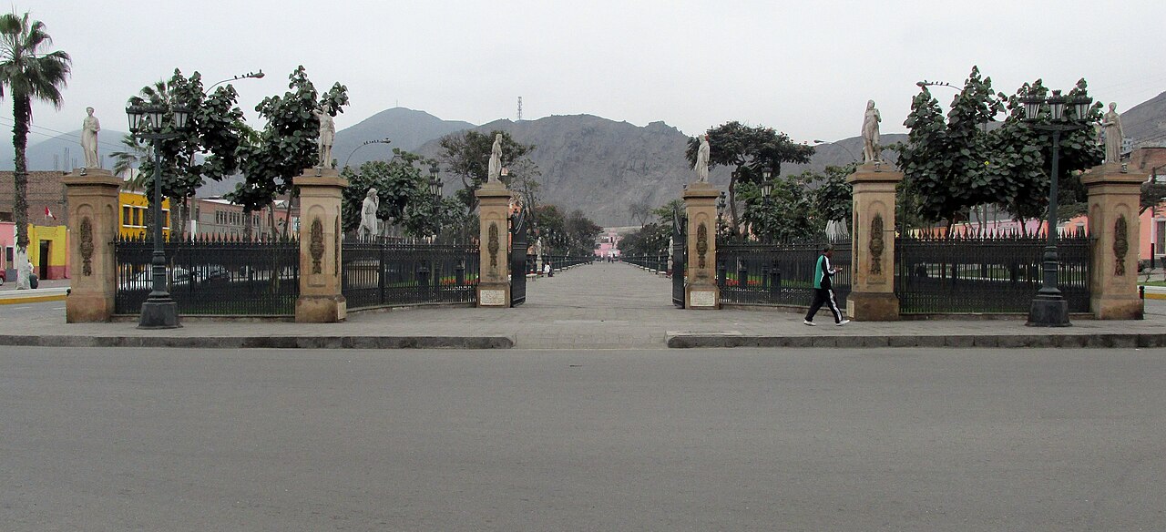
Paseo de Aguas is an eighteenth-century water promenade in Lima's Rímac district. The heritage site presents colonial landscape design through a public walkway centred on historic hydraulic features. It forms part of the wider Rímac heritage area north of the river and offers a different experience from Lima's enclosed museums: the monument is encountered outdoors, through movement, perspective and the relationship between water and built surroundings. It is a natural stop on a neighbourhood heritage walk. Paseo de Aguas is an eighteenth-century water promenade in Lima, Peru. It forms part of the extended Rímac heritage circuit situated north of the river. The site belongs to the broader historical water infrastructure associated with colonial Lima. As a heritage feature, it connects to the UNESCO World Heritage listing for the Historic Centre of Lima, which recognises the city's significant architectural and urban ensemble. The promenade represents an element of engineered landscape design from the colonial period. The public monument and promenade are accessible 24 hours daily; fountain operation and event lighting follow municipal schedules. Level paved approaches and curb ramps provide step-free viewing; water features may leave surfaces slippery. Access is free. Buses on Avenida Alcázar serve Rímac, followed by a short walk to Jirón Madera. Yes. Ceremonies, events, maintenance or security controls can change the ordinary visitor route. The public monument and promenade are accessible 24 hours daily; fountain operation and event lighting follow municipal schedules.
Checked 2026-08-31 · Source
The promenade is organised around historic water features and a landscaped walkway. Its interest lies in the combination of engineered water, open public space and colonial-era heritage character. Visitors can walk along the linear setting, pause for views and connect the monument with nearby Rímac streets. The site is best understood as a piece of urban infrastructure and public landscape, where the form of the promenade explains as much as any single decorative detail.
Checked 2026-08-31 · Source
A short visit can cover the promenade as a simple walk-through, while a longer stop gives more time for architectural details, water features and photographs. The linear layout makes it easy to combine Paseo de Aguas with other Rímac heritage locations rather than treating it as a full-day destination. Allow enough time to walk at an unhurried pace, pause at the main views and appreciate how the monument fits into the surrounding historic district.
Checked 2026-08-31 · Source
The public monument and promenade are accessible 24 hours daily. Fountain operation and event lighting follow municipal schedules, so the atmosphere can differ between a quiet daytime walk and an evening visit with illuminated water features. The open-air setting makes daylight useful for reading the architecture and paths, while later hours can emphasise the promenade's relationship with water and light. Municipal events or maintenance can change how the space is used.
Checked 2026-08-31 · Source
Access to Paseo de Aguas is free. The public monument can therefore be added to a Rímac walking route without a museum-style admission charge. Transport, guided programmes, commercial activities and separately controlled venues are outside the free access described here. Use the promenade as an open heritage stop, then plan any nearby museums or performances as independent parts of the day rather than one combined ticketed attraction.
Checked 2026-08-31 · Source
Buses on Avenida Alcázar serve Rímac. After leaving the bus, continue on foot towards Jirón Madera, which is the named street approach for Paseo de Aguas. The location works naturally with a broader walk through Rímac, where historic streets and nearby landmarks form part of the journey. Use the promenade itself as your orientation point once you reach the Jirón Madera side of the district.
Checked 2026-08-31 · Source
Level paved approaches and curb ramps provide step-free viewing. Water features can leave surfaces slippery, so walk carefully near the promenade's hydraulic elements, especially after operation or cleaning. The site is an open public monument, and ceremonies, events, maintenance or security controls can change the ordinary route. Keep clear of managed areas, respect other users of the walkway and take care around historic surfaces while exploring the Rímac heritage setting.
Checked 2026-08-31 · Source
Paseo de Aguas lends itself to photographs built around lines, reflections and the long perspective of the promenade. Water features provide a natural focal point, while the surrounding heritage fabric adds context to wider compositions. Daylight reveals the structure and paving; municipal lighting can create a different mood when operating after dark. Keep equipment and footing secure near water, leave the walkway open and treat the historic setting with care.
Checked 2026-08-31 · Source
The public monument and promenade are accessible 24 hours daily.
No. Access is free.
Level paved approaches and curb ramps provide step-free viewing, although water features may leave surfaces slippery.
Buses on Avenida Alcázar serve Rímac, followed by a short walk to Jirón Madera.
Ceremonies, events, maintenance or security controls can change the ordinary visitor route.
No. Nearby museums, performances and commercial services use their own admission terms.
Loading the interactive map…
The interactive map could not be loaded.
Last updated:
Source: OpenStreetMap contributors, Wikidata ·