


2 min walk
Sirao Garden
- Must see
- Nature site
Historic site · Cebu City
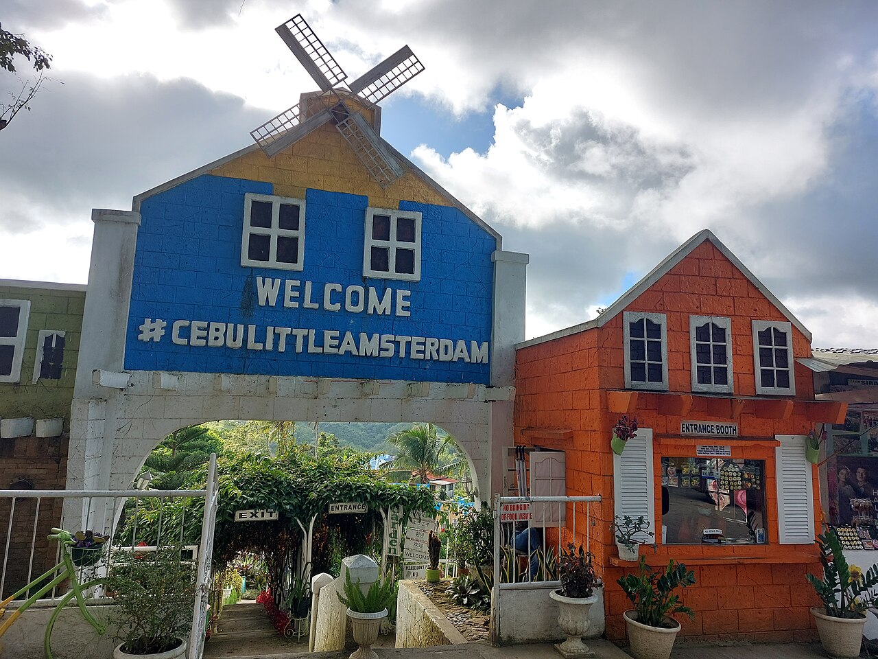
Sirao Pictorial Garden is an outdoor photography attraction on Canada Drive in Barangay Sirao, Cebu City. Its landscaped settings and decorative installations are arranged for portraits, group photographs and casual sightseeing. It is separate from Original Sirao Flower Garden next door, so the full name matters when planning the visit or explaining the destination to a driver. The garden is best understood as a dedicated photography stop along the Cebu Transcentral Highway route, with outdoor displays that turn the visit into a sequence of backgrounds and viewpoints.
Checked 2026-09-02 · Source
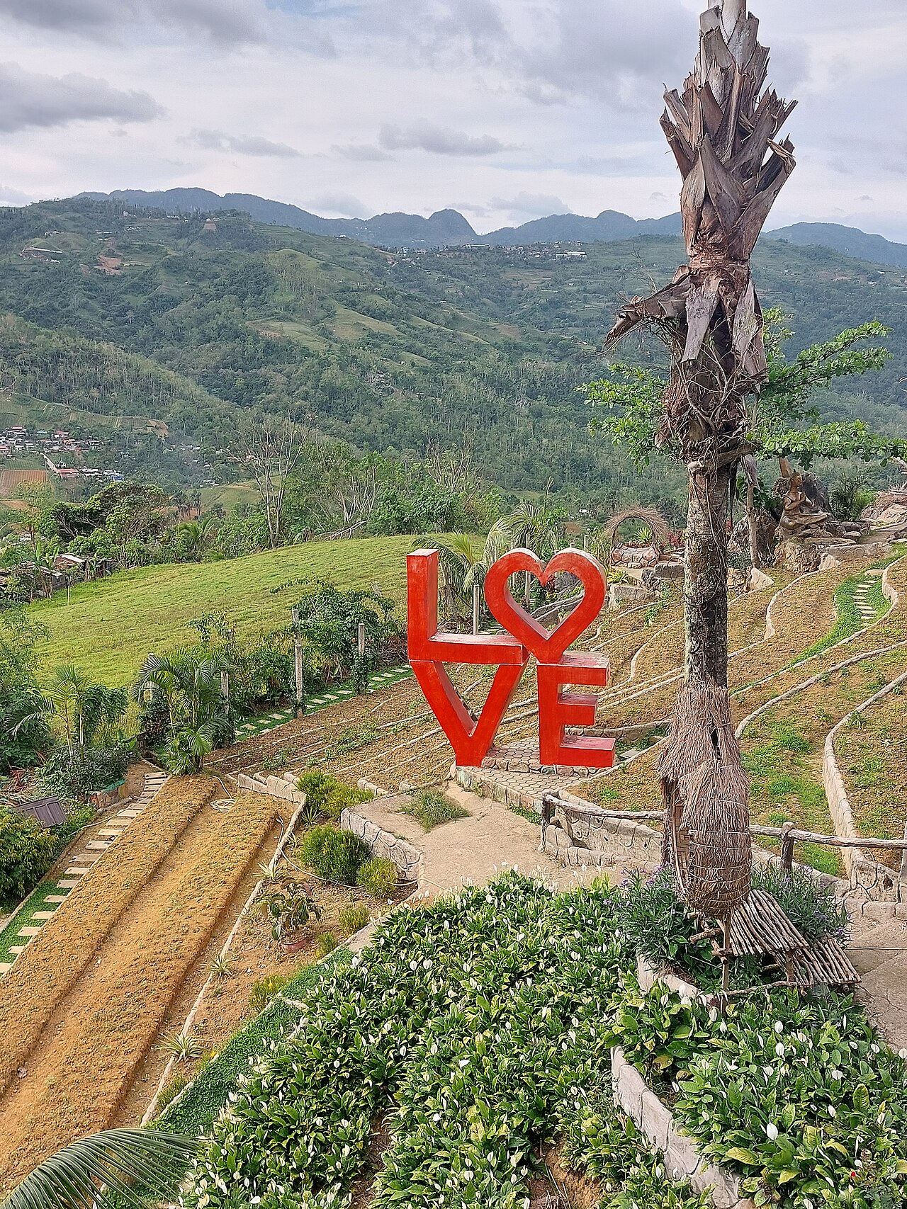
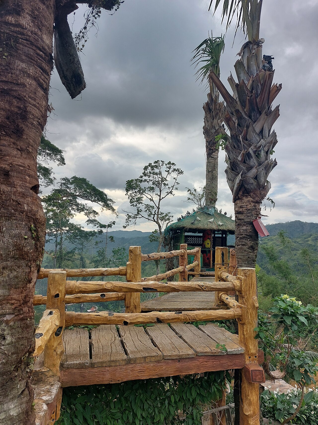
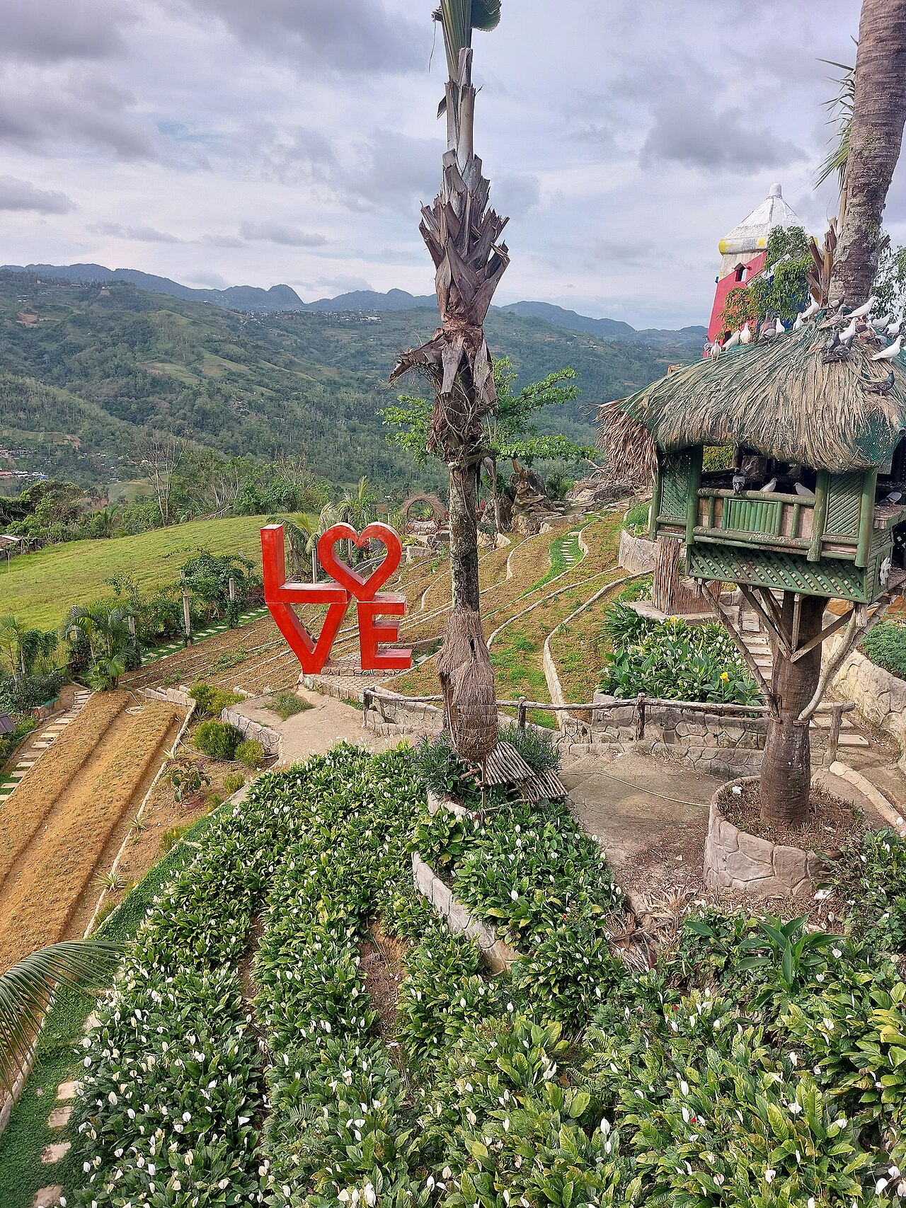
The garden is made up of planted areas, open-air installations and recognisable photo settings. The large golden hand sculpture is a signature landmark and a natural starting point for a first circuit. A swimming pool is also described at the property. The experience is about moving between visual backdrops, changing poses and enjoying the upland scenery.
Checked 2026-09-02 · Source
Allow time to walk between the settings, photograph the golden hand and repeat favourite compositions with companions. A focused visit can cover the principal installations, while groups and portrait photographers may stay longer to share backgrounds and take turns. Sirao Pictorial Garden works best as a flexible stop, without the pace or sequence of a museum tour.
Checked 2026-09-02 · Source
Daylight is central to the garden’s photography-focused experience, and weather affects both comfort and the appearance of the upland views. Wet conditions can make sloped paths slippery, so choose practical footwear and move carefully after rain. Because the garden lies outside central Cebu City, include the mountain journey when planning the wider day.
Checked 2026-09-02 · Source
Keep Sirao Pictorial Garden distinct from Original Sirao Flower Garden, the neighbouring property with a similar name. The two businesses have separate entrances and displays. The visit is centred on the garden’s outdoor settings and photo landmarks, so plan around the destination itself rather than expecting access to facilities or attractions belonging to the adjacent flower garden.
Checked 2026-09-02 · Source
From Cebu City, travel along Cebu Transcentral Highway towards Barangay Sirao and continue to Canada Drive. Public transport can begin with a Sirao-bound V-hire from Ayala Terminal, followed by a habal-habal motorcycle taxi for the final section. State the complete name, Sirao Pictorial Garden, because Original Sirao Flower Garden stands nearby and is separately operated.
Checked 2026-09-02 · Source
The garden’s internal paths are steep, and some surfaces may become slippery after wet weather. It is unsuitable for wheelchair access, while visitors carrying cameras, phones or bags should take particular care on slopes. Wear secure footwear and leave room to move between groups. Remember that the nearby Original Sirao Flower Garden is not part of this property.
Checked 2026-09-02 · Source
Photography is the main reason to visit. Begin at the large golden hand sculpture, then explore the other landscaped settings for individual portraits, group poses and wider views. Popular installations may require turn-taking, especially when several visitors want the same background. The outdoor layout rewards patience, varied angles and enough time to make more than one memorable composition.
Checked 2026-09-02 · Source
No. They are separate businesses beside one another in Barangay Sirao, with independent properties and displays.
The large golden hand sculpture is one of Sirao Pictorial Garden’s recognisable photo points.
It is on Canada Drive in Barangay Sirao, within Cebu City’s upland area.
Use a Sirao-bound V-hire from Ayala Terminal, then a habal-habal motorcycle taxi for the final section.
No. Steep internal paths and potentially slippery areas make the garden unsuitable for wheelchair access.
Photography defines the visit, with landscaped settings, installations and the golden hand providing portrait backgrounds.
Loading the interactive map…
The interactive map could not be loaded.

Last updated:
Source: OpenStreetMap contributors ·