
4 min walk
Haga park
- Must see · Heritage site
- Nature site
Language · 11 published
Nature site · Stockholm
Reviewed by Elena Voss · Roavina Travel Editor
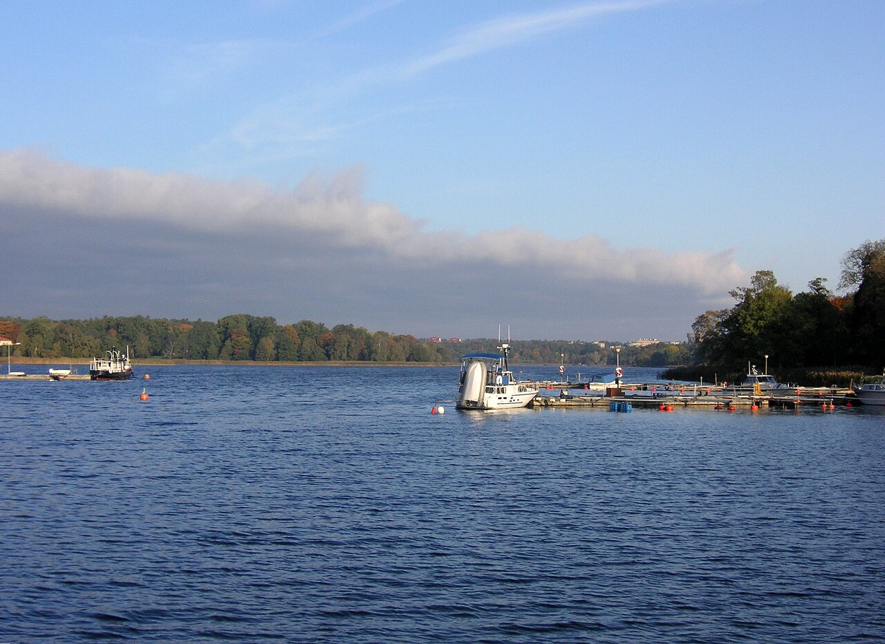
This place is a Body of water.
Brunnsviken is a freshwater bay north of Stockholm’s centre, surrounded by parks, woodland, historic estates, and cultural institutions. Its shoreline creates one of the city’s most rewarding green escapes, combining water views with long walks and varied landscapes. The bay belongs to Stockholm’s outdoor identity as much as its heritage story. It suits travelers who want open space, gentle exploration, and a break from dense urban streets. Brunnsviken is a freshwater bay in Stockholm, forming part of the historical landscape north of the city centre. The inlet connects to the Baltic Sea through a narrow channel and is surrounded by parklands, estates, and institutional grounds. It has served as a recreational area for centuries, with its shores developed during the 18th and 19th centuries. The bay is integral to Stockholm's green infrastructure and cultural heritage, featuring in the city's historical expansion and the design of its northern districts. Swimming is possible at designated areas with proper facilities. Visitors should locate these specific points rather than entering the water at random locations.
Checked 2026-08-26 · Source
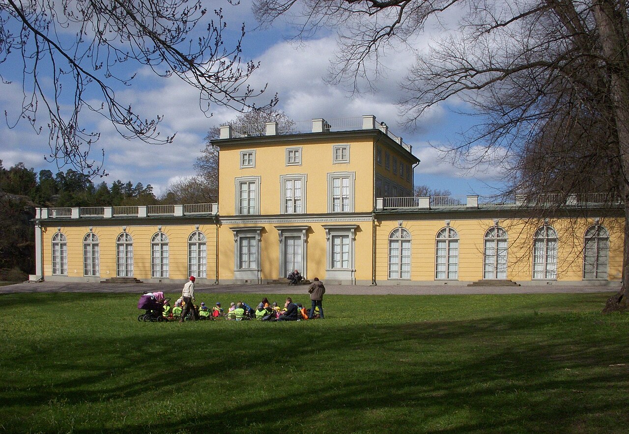
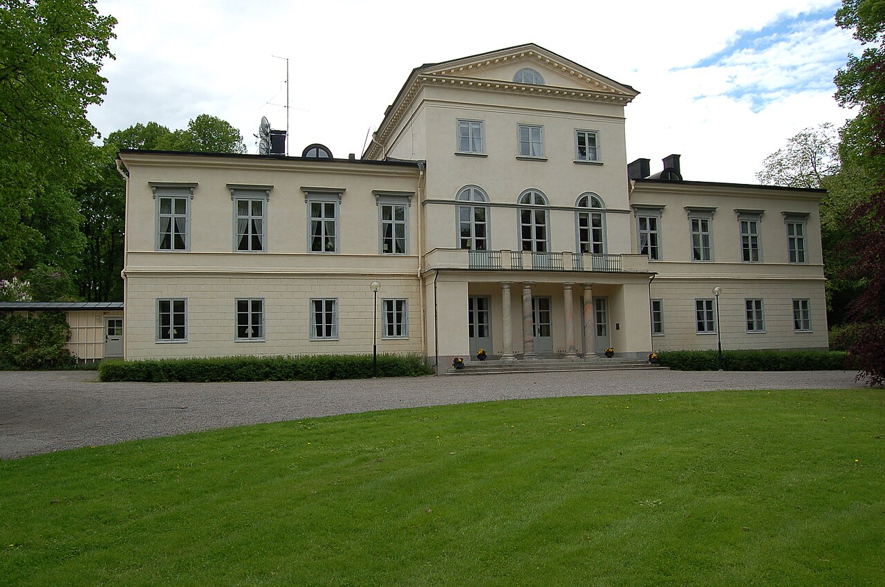
The Brunnsviken area brings several destinations into one broad landscape. Haga Park occupies the western shore with pavilions, gardens, and royal-era surroundings. The Swedish Museum of Natural History and Cosmonova stand nearby, while the Bergius Botanic Garden adds cultivated plant collections along the water. Walking and cycling paths connect parts of the shoreline, and the bay itself provides a focus for boating and outdoor views. The Brunnsviken area encompasses several notable features. Haga Park lies along its western shore, containing historical pavilions and landscaped gardens. The Swedish Museum of Natural History and Cosmonova are situated nearby. The Bergius Botanic Garden occupies part of the shoreline. Various walking and cycling paths trace the water's edge. The bay itself supports boating activities. Historical estates and former royal grounds contribute to the area's character. The surrounding terrain includes mixed woodland and open parkland typical of the Stockholm region.
Checked 2026-08-26 · Source
Allow two to three hours for a substantial walk around Brunnsviken, depending on your pace, route, and photography stops. A visit focused on Haga Park or the Bergius Botanic Garden can take one to two hours. Combining the shoreline with the museum or Cosmonova turns the area into a half-day outing. Bring time for pauses beside the water, especially in good weather. A complete circuit of Brunnsviken on foot requires approximately two to three hours, depending on pace and stops. Visitors typically allocate half a day to explore the shoreline paths and associated attractions. Those focusing on specific sites such as Haga Park or the Bergius Botanic Garden may spend one to two hours.
Checked 2026-08-26 · Source
Summer offers long daylight, warmer conditions, and the best setting for picnics, boating, and extended shoreline walks. Spring and autumn bring strong changes in foliage and atmosphere. Winter can transform the bay and paths with snow or ice, while daylight is shorter and some routes may be harder to use. Outdoor conditions shape the experience, so choose clothing and footwear for the season and the ground.
Checked 2026-08-26 · Source
Nearby destinations have their own arrangements: the Swedish Museum of Natural History and Cosmonova require paid entry, while the Bergius Botanic Garden follows its own policy. Boat launching, equipment rental, and special activities can involve separate costs. Treat each attraction as an independent stop when planning a budget.
Checked 2026-08-26 · Source
Brunnsviken is reachable from central Stockholm by public transport, cycling, and walking routes leading toward Haga Park and the northern districts. The shoreline covers a broad area, so select an approach that matches your intended destination. Driving is possible, with parking at some locations but limited capacity during busy periods. Use the mapped area to choose whether your day begins at Haga Park, the museum, or the botanic garden.
Checked 2026-08-26 · Source
Conditions beside Brunnsviken can change quickly. Shoreline paths may be uneven or muddy after rain, and winter ice is dangerous unless an area is specifically managed for safe use. Swimmers should use designated bathing places. Cyclists and walkers share some routes, while birds and other wildlife occupy the surrounding parkland. Respect private boundaries beside estates, follow local signs, and carry suitable clothing for changing weather.
Checked 2026-08-26 · Source
Brunnsviken offers water reflections, woodland, open parkland, historic architecture, and changing seasonal colour. Haga Park provides formal compositions around its pavilions and gardens, while the shoreline gives wider views across the bay. Early morning and late evening light work well for landscapes. Bird photography benefits from patience and distance. Near homes and institutions, keep people’s privacy in mind and follow any local photography rules.
Checked 2026-08-26 · Source
Brunnsviken is a freshwater bay north of central Stockholm, bordered by parks, historic landscapes, cultural sites, and walking routes.
Nearby highlights include Haga Park, the Swedish Museum of Natural History, Cosmonova, and the Bergius Botanic Garden.
A substantial walk around the bay takes about two to three hours, while a focused visit to one nearby attraction can take one to two hours.
Swimming is possible at designated areas with suitable facilities; use those places rather than entering the water at an arbitrary point.
The bay and shoreline paths are public outdoor spaces without admission, while nearby attractions can charge separately.
Wear weather-appropriate clothing and footwear, particularly after rain or in winter, and bring provisions if you plan an extended shoreline walk.
Loading the interactive map…
The interactive map could not be loaded.
Last updated:
Source: OpenStreetMap contributors, Wikidata ·