


351
45 min
Demokrasi Meydanı
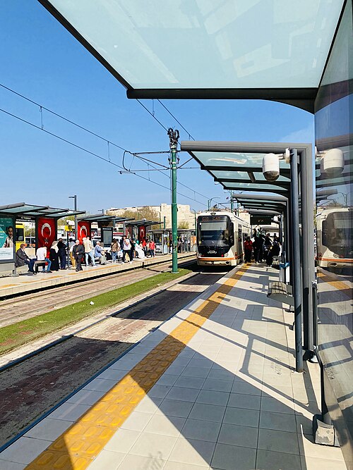
Demokrasi Meydanı is an open-air civic square in central Manisa’s Şehzadeler district, known in official notices as 15 Temmuz Demokrasi Meydanı.
- Notable
- Historic monument
- Manisa
Country guide
Türkiye is 783,562 km² across 81 provinces, most of it Anatolia in West Asia with East Thrace on the European side of the straits. It has three coasts to choose...
Photograph · Benh LIEU SONG · CC BY-SA 4.0
Reviewed by Elena Voss · Roavina Travel Editor
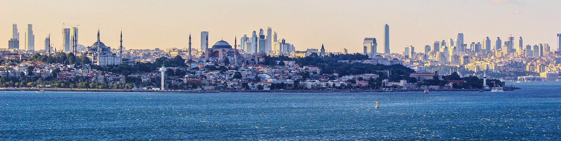
Türkiye is 783,562 km² across 81 provinces, most of it Anatolia in West Asia with East Thrace on the European side of the straits. It has three coasts to choose between — the Black Sea to the north, the Aegean to the west, the Mediterranean to the south — and an interior plateau that behaves like a different country in winter. Istanbul is the largest city and the economic centre, Ankara the capital and the second-largest, and the December 2025 population of 86,092,168 is weighted heavily to the west. A first trip is usually Istanbul and one coast; the plateau is the second trip.
Checked 2026-08-25
Every city catalogued in this country so far, ranked by how much there is to see.
Photograph · Ben Morlok · CC BY-SA 2.0
Photograph · Diego Delso · CC BY-SA 4.0
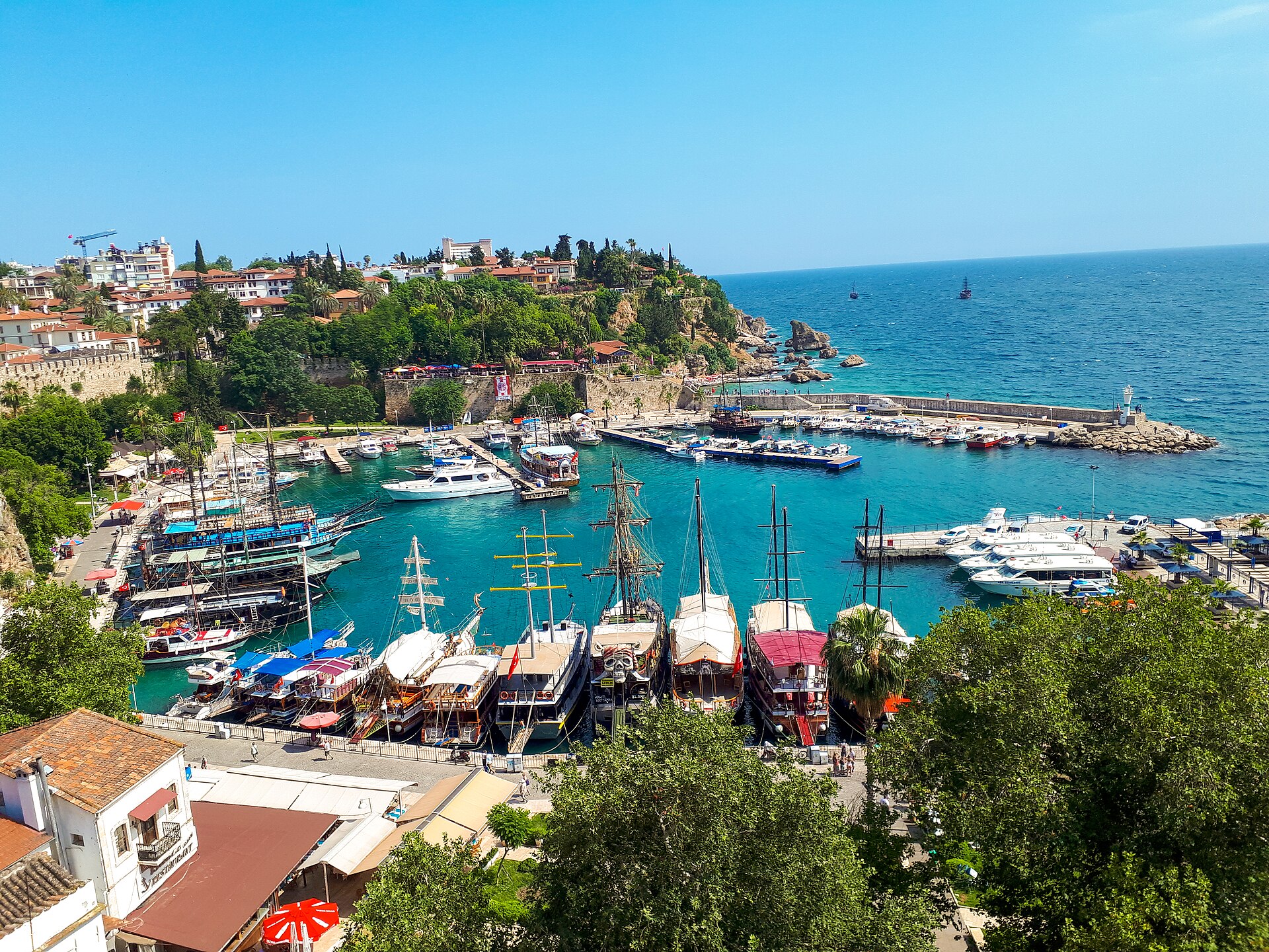
Photograph · REHBER0770 · CC BY-SA 4.0
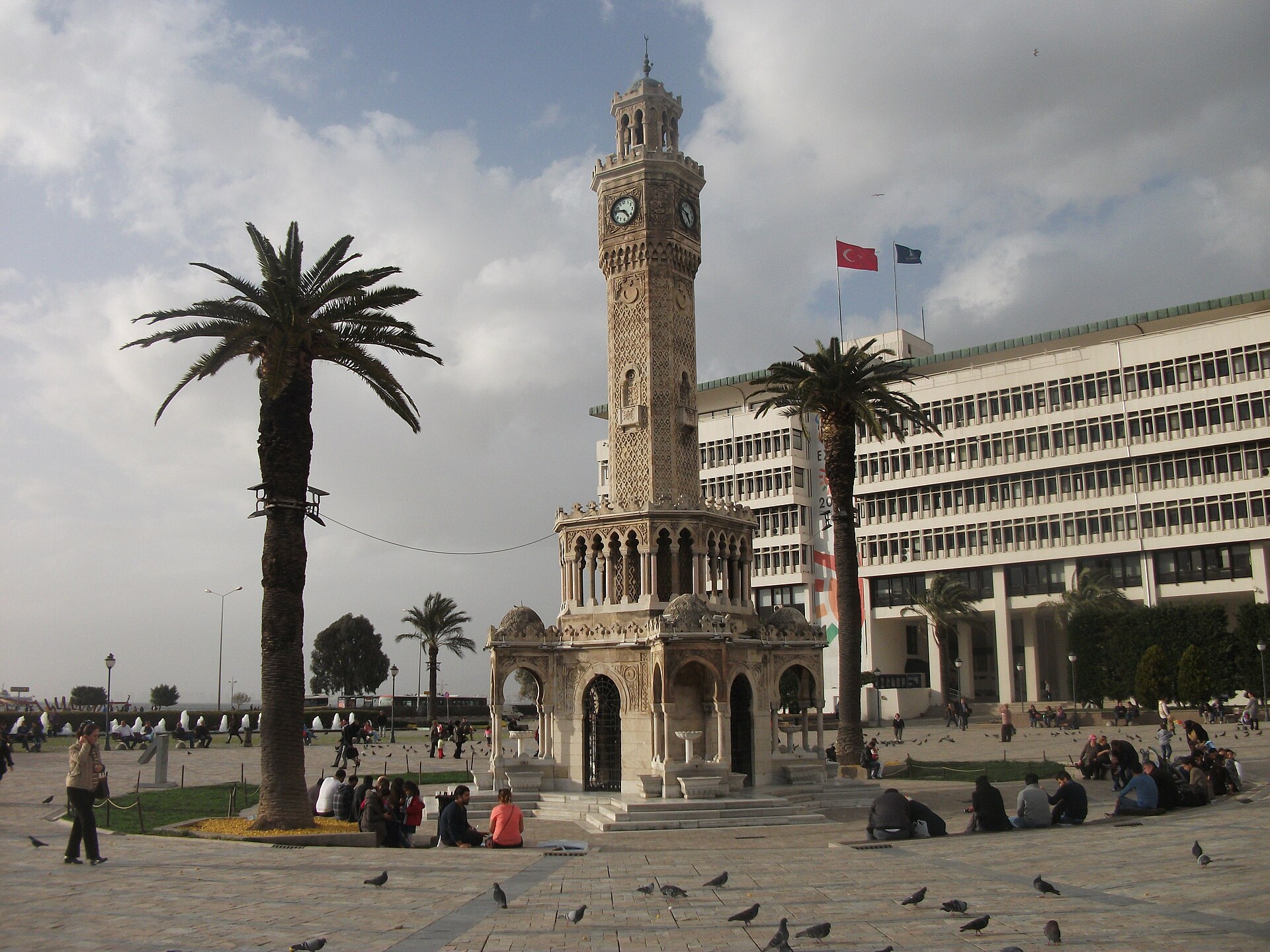
Photograph · Anonymous · CC0
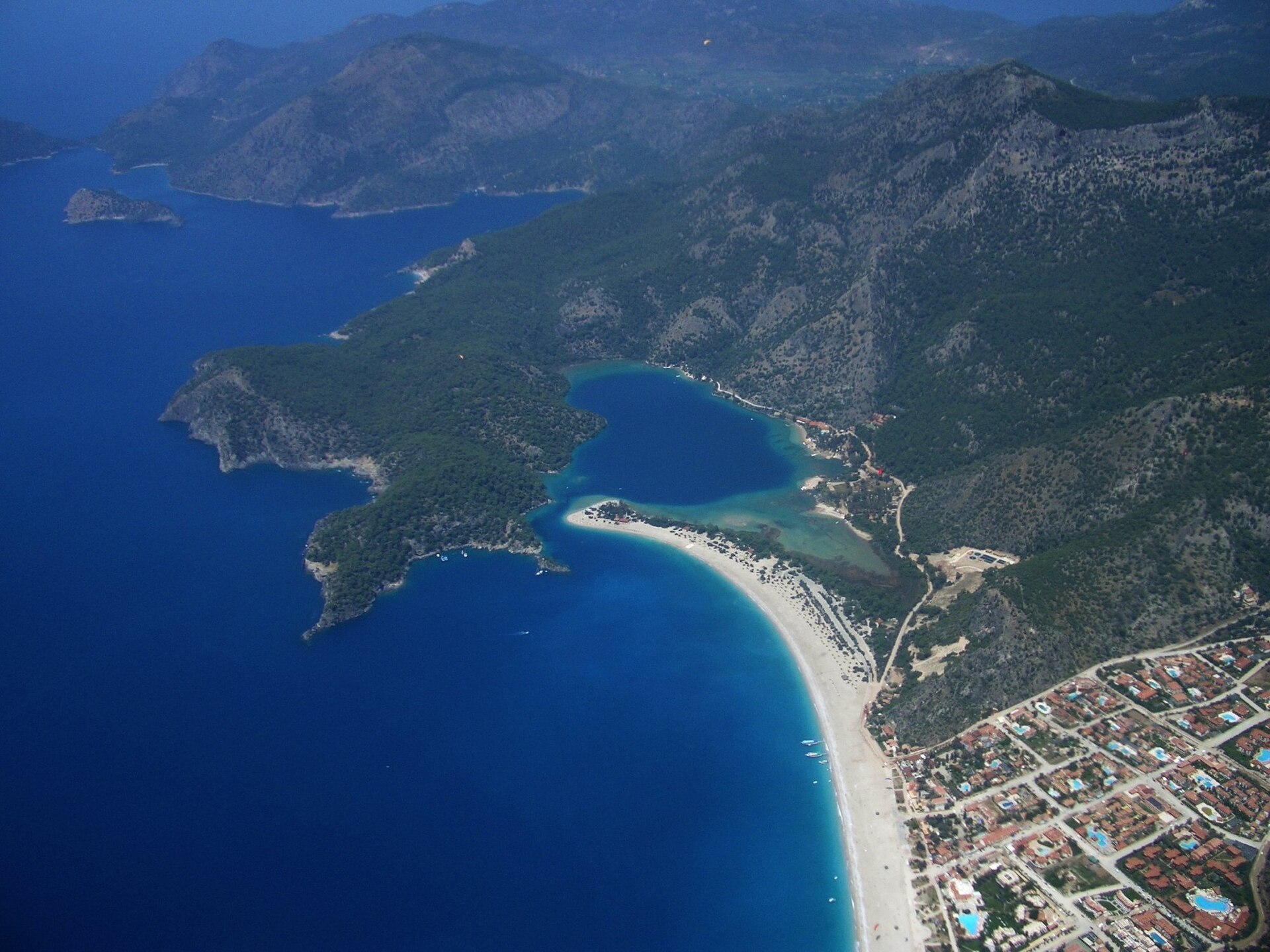
Photograph · Dan Taylor · CC BY 2.0
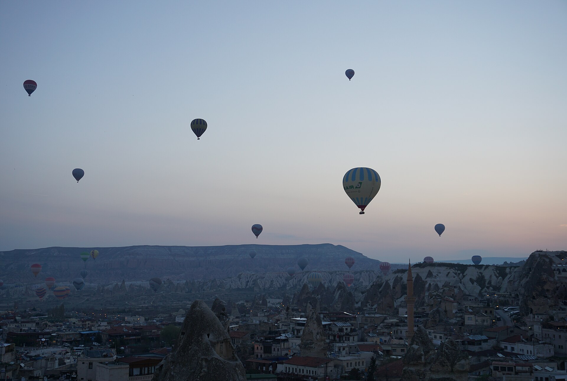
Photograph · Dogaaunlu · CC BY-SA 4.0
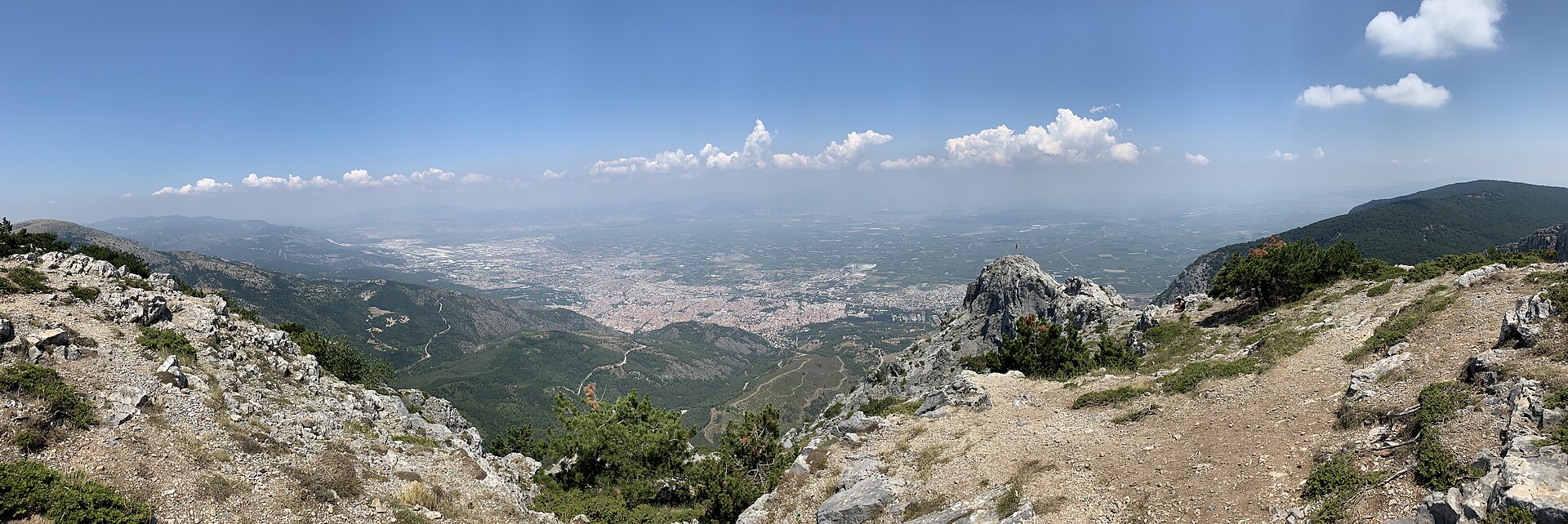
Photograph · Egemenakgul · CC BY-SA 4.0
Ranked by importance — sitelinks, pageviews and heritage status, not editor preference.
438 places match
Category
Typical visit duration
Interests
Demokrasi Meydanı is an open-air civic square in central Manisa’s Şehzadeler district, known in official notices as 15 Temmuz Demokrasi Meydanı.
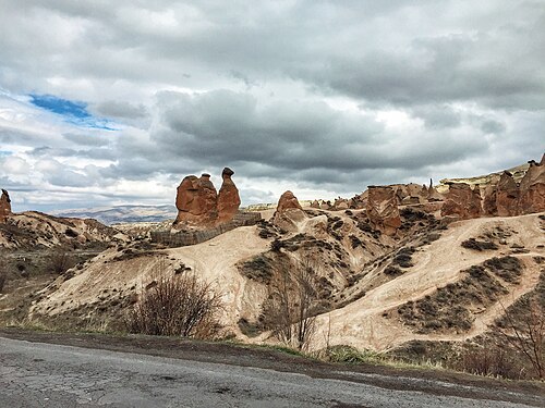
Devrent Vadisi
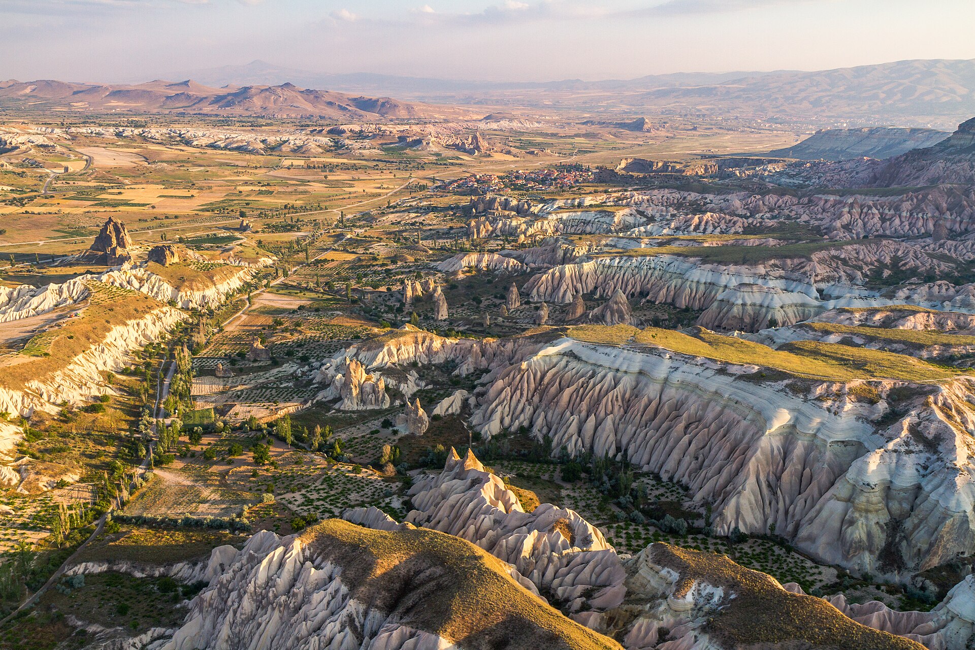
Devrent Valley, also called Hayal Vadisi or Imaginary Valley, is an open Cappadocian landscape of fairy chimneys, tuff rocks and natural silhouettes.
DSM is an open-air monument in Salihli, within Manisa province, set in the everyday urban landscape rather than inside a museum or visitor complex.
Durmuş Kadir Kilisesi
Durmuş Kadir Kilisesi is a Byzantine rock-cut monument in Göreme’s Karşı Bucak area, dating from the sixth or seventh century.
Entry to Sable Valley is a named access point in Göreme National Park, near Göreme in Nevşehir Province. It is a starting point for an outdoor experience: moving from the settled approach into Sable Valley and its Cappadocian terrain.
Eski Gördes Harabeleri are the surviving traces of Gördes’s former hillside settlement in Manisa. The place lies in Eski Gördes, in Atatürk Mahallesi, near Eski Gördes Pazar Camii on the eastern slope of Kepez, also called Tekke Dağı.
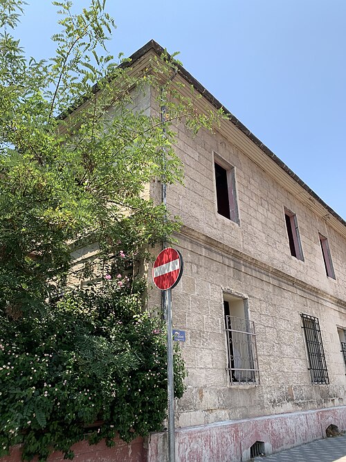
Eski Kilise is a ruined historic Christian place of worship in Kula, a district of Manisa province.
Fairy chimneys at Paşabağları are a specific cluster of volcanic-tuff pillars in Cappadocia, not a single freestanding monument. Harder cap rocks protected softer material below, while erosion shaped the grouped cones and columns.
Fairy Chimneys is a named landscape feature in Çavuşin, within Avanos district of Nevşehir, beside the Göreme–Avanos road. Its identity comes from distinctive volcanic-rock formations set among village buildings and the wider Cappadocian terrain.
Alibağı
Alibağı is a small, open-air landscape stop near Çavuşin, where fairy chimneys and weathered tuff formations are encountered in their natural setting.
Former USAF Jupiter IRBM is an outdoor Cold War historical site in rural Manisa province. It is associated with a United States Air Force Jupiter intermediate-range ballistic-missile launch position in the Kemiklidere area on the Manisa–Akhisar route.
Gavurhöyüğü is a rural archaeological mound in Şahinler village, Gülşehir District, Nevşehir Province. Its identity is tied to the höyük itself, its unusually elongated footprint, and evidence of occupation over several archaeological periods.
Gizlikent Şelalesi
Gizlikent Şelalesi is a waterfall reached through the entrance area of Saklıkent Canyon, in Kayadibi Mahallesi, Seydikemer, Muğla.
Gökçe Höyüğü is a rural settlement mound in Kozaklı district of Nevşehir province, positioned between Karahasanlı and Yassıca.
Gökçeler Canyon is an approximately eight-kilometre natural ravine near Milas, shaped by Değirmen Deresi, also known as Hamzabey Stream. The watercourse divides the canyon into two sides, creating a landscape of wooded slopes, rocky formations, waterfalls and ponds.
Golgoli is the hill identified by the responsible cultural-route body as Golgoli Dağı–Meryem Ana Dağı, also called Golgoli Dağı, near Mustafapaşa in Ürgüp district.
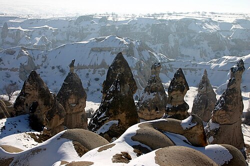
Göreme Valley is a carved-rock settlement and archaeological landscape in Cappadocia, presented by the responsible ministry through the Göreme Open-Air Museum.
Göre Açık Hava Müzesi
Göre Açık Hava Müzesi is a rock-settlement heritage area within Göre, in Nevşehir Central District. Its defining sights are spaces cut directly into soft volcanic rock: former homes, openings and animal shelters shaped around everyday domestic and agricultural needs.
Great Caves is a distinctive open-air rock settlement on the Çavuşin slope, where carved spaces and weathered volcanic surfaces meet the edge of a living Cappadocian village.
Günbatımı | Sunset Point is a named outdoor lookout near Göre in Nevşehir, Türkiye, at approximately 38.59464° north and 34.72226° east.
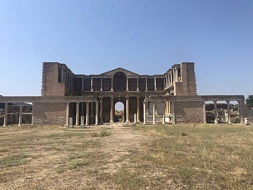
At Sardes, the Gymnasium is a Roman Imperial bath-and-exercise complex rather than an isolated ruin. Its eastern palaestra, western bath halls and connecting Marble Court form a legible architectural sequence within the archaeological area near Sart.
Hacı Bektaş Veli is a historic dergah complex and museum in Hacıbektaş, associated with the 13th-century mystic and the Bektashi tradition.

Manisa Hafsa Sultan Şifahanesi
The Hafsa Sultan Hospital Museum is the surviving hospital wing of the Sultan Camii complex, the külliye Ayşe Hafsa Sultan — wife of Selim I and mother of Süleyman the Magnificent — commissioned in Manisa in 1522, where she lived…
Hallaç Manastir is an 11th-century monastic complex carved into a tuff rock mass in the Hallaç Deresi area, about 1 kilometre northeast of Ortahisar in Nevşehir’s Ürgüp district.
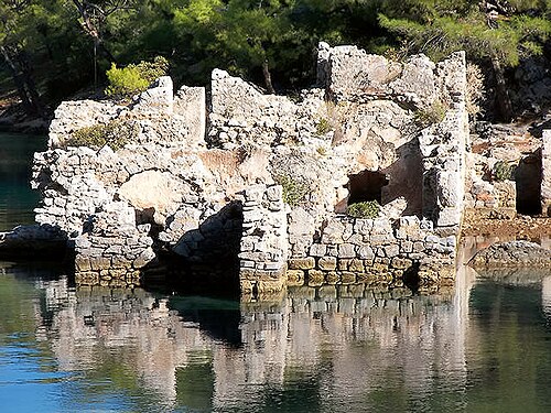
Hamam Bay is a sheltered coastal cove in Muğla Province’s Dalaman area, also known locally as Kleopatra Hamamı. Pine-covered slopes descend towards a natural beach and clear water, while ancient Cleopatra Hamamı ruins stand beside the shore.
Ten to fourteen days allows about four days in İstanbul and at least three around Antalya when coastal archaeology is included. Cappadocia needs its own regional stay, and a one-way coastal route is more workable than returning to the same city each night.
Türkiye's visa position varies by passport and purpose. Verify the rule through the Ministry of Foreign Affairs and, when eligible, use only the official e-Visa service rather than an intermediary.
İstanbul's two airports and Antalya are the principal gateways for this itinerary. Domestic flights cover long cross-country legs, coaches serve many city pairs, and high-speed rail is most useful on the İstanbul-Ankara axis rather than as a universal substitute.
April to May and September to October are broad choices for combining İstanbul with the Mediterranean coast. Cappadocia nights, inland heat, and Antalya's coastal conditions differ, so confirm weather for each overnight base.
Türkiye uses the Turkish lira (TRY). Keep lira available for smaller transport and market transactions even when cards are accepted, and review the displayed amount in TRY before agreeing to any card conversion.
Dial 112 for emergencies in Türkiye. Electricity is 230 V through Type C and F sockets; tap-water safety is not recorded here, so obtain current local advice at each stop.