
2 min walk
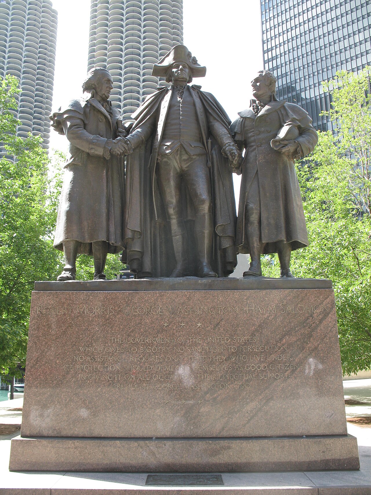
Heald Square Monument
- High · Heritage site
- Historic monument
Language · 11 published
Nature site · Chicago
Reviewed by Elena Voss · Roavina Travel Editor
| Monday | 06:00 – 23:00 |
|---|---|
| Tuesday | 06:00 – 23:00 |
| Wednesday | 06:00 – 23:00 |
| Thursday | 06:00 – 23:00 |
| Friday | 06:00 – 23:00 |
| Saturday | 06:00 – 23:00 |
| Sunday | 06:00 – 23:00 |
Checked 2026-08-31 · Source
Read from the OpenStreetMap access tags; anything not listed has no tag recorded.
Set the group type to family in the planner and the day window contracts to about three quarters of a solo day.
This place is a Park.
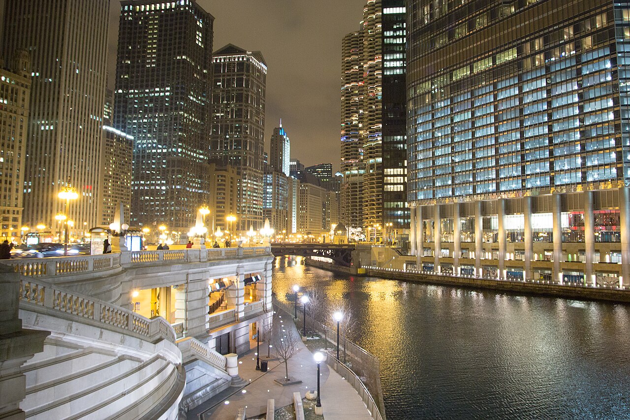
The Chicago Riverwalk is a central riverfront promenade in downtown Chicago. It extends along the south bank of the main stem of the Chicago River, connecting the Lake Michigan shoreline with the confluence of the river's branches. The pedestrian pathway serves as public space integrating architecture, recreational access, and boat docking facilities. The development transformed former industrial waterfront into accessible civic space. It functions as both transportation corridor and destination, with seating areas, pedestrian access, and connections to adjacent buildings and streets at multiple points along its length. The Riverwalk occupies the south bank of the Chicago River from Lake Street toward Lake Michigan, divided into connected rooms with different uses: coves, seating terraces, docks, gardens, public art and restaurant zones. It turns the lower river level into a pedestrian route beneath working bridges and beside architecture seen from a different elevation than street level. Flooding, bridge work and winter ice can interrupt individual underpasses without closing the entire downtown riverfront.
Checked 2026-08-31 · Source
The Riverwalk contains distinct thematic sections with varied programming and amenities. These include the Marina Plaza with boat docking, the Cove with kayak rentals and human-powered boat access, the River Theater with stepped seating, the Water Plaza with interactive water features, the Jetty with fishing piers and ecological installations, and the Boardwalk with floating gardens. Restaurants and cafes operate along portions of the path. Public art installations and architectural viewing opportunities are present throughout. The path accommodates pedestrians, cyclists, and wheelchair users along its full length.
Checked 2026-08-31 · Source
The Riverwalk extends approximately 1.25 miles along the river's south bank. A complete walk from east to west takes roughly 20-30 minutes at a leisurely pace without extended stops. Visitors typically spend one to three hours depending on activities selected, such as dining, boat watching, or resting at seating areas. The linear path connects multiple bridge crossings at street level, allowing visitors to enter and exit at numerous points rather than traversing the entire length. Walking speed and interest in architectural observation significantly affect visit duration.
Checked 2026-08-31 · Source
The downtown riverfront public path follows Chicago park hours, generally 06:00-23:00 daily. Flood conditions, bridge work, winter ice, private events and maintenance can close individual rooms or underpasses. Arrive early enough for security, timed entry and the main route before the final admission period. Weekends, school holidays, games, festivals and special events increase crowds or close individual areas. Chicago weather affects parks, riverfronts and outdoor approaches, while indoor museums remain climate controlled. The dated operator calendar always takes priority over a normal weekly pattern.
Checked 2026-08-31 · Source
Walking the public Riverwalk is free. Restaurants, boat tours, kayak rentals and ticketed programmes charge separately. Use the official operator and retain the dated confirmation. General entry does not include separately priced tours, performances, temporary exhibitions, parking, rentals, food or events unless the product says so. Free or suggested admission can still require a timed reservation and proof of eligibility. Accessible seating and necessary companion arrangements follow the venue-specific booking process.
Checked 2026-08-31 · Source
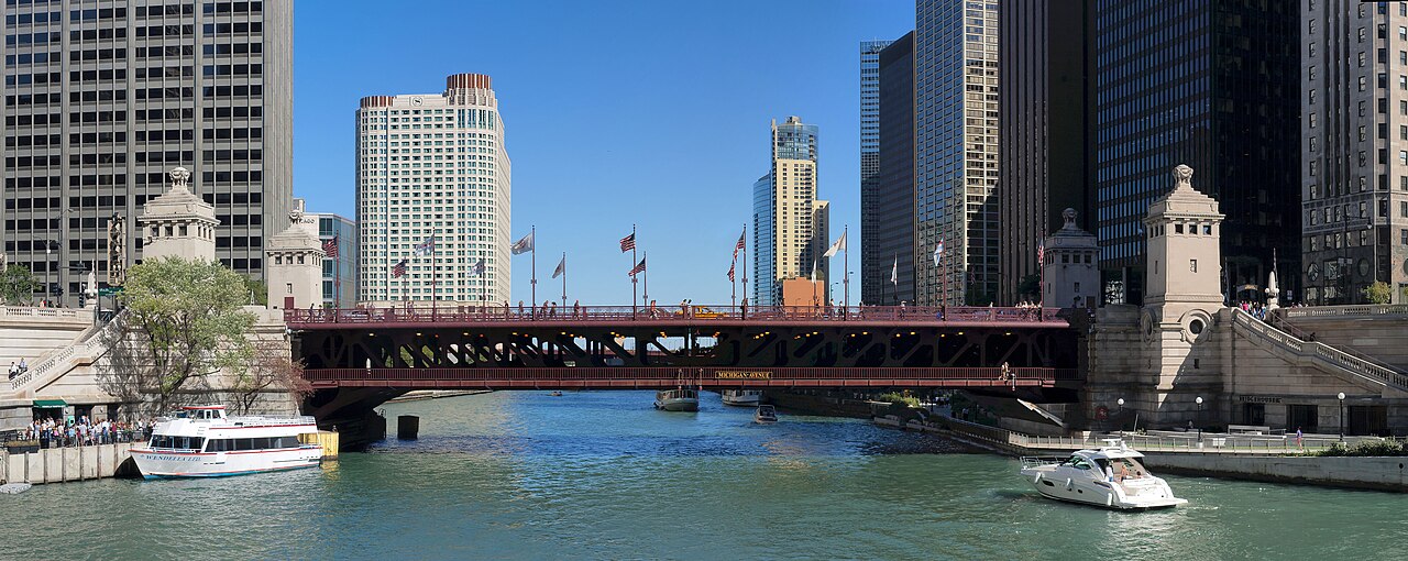
Access points line the south bank from Lake Street to Lake Michigan. CTA Clark/Lake, State/Lake and Washington/Wells stations and Michigan Avenue buses serve nearby bridges; water taxis use designated docks. Allow time for the final walk, entrance choice, security or tour meeting point. Use the complete venue name and address because lakefront campuses, university sites and stadiums can have multiple gates. Public transport avoids event traffic and expensive parking, and an admission or tour reservation never guarantees a parking place.
Checked 2026-08-31 · Source
Continuous accessible river-level paths and ramps connect major sections, with elevators at selected bridges. Some stepped seating and underpass connections have parallel accessible routes; seasonal closures can interrupt continuity. Follow the designated accessible route and staff instructions. Crowds, historic interiors, tours, performance spaces, festivals and temporary installations can apply narrower access or transfer requirements than the main route. Keep bags compact, retain tickets and identification, and leave lifts, ramps, aisles, companion seating and emergency routes clear for other visitors.
Checked 2026-08-31 · Source
The Riverwalk offers prominent architectural photography opportunities facing north toward landmark buildings lining the opposite riverbank. Bridge structures provide framing elements and elevated perspectives. Morning light illuminates the north facade of buildings; evening captures westward sunset reflections on glass towers. The water surface creates mirror effects during calm conditions. Tripod use may obstruct the narrow path during busy periods; photographers should remain considerate of pedestrian flow. Night photography captures building illumination and bridge lighting. The water taxi and boat traffic add dynamic elements. Cloudy conditions reduce harsh shadows on vertical architectural subjects.
Checked 2026-08-31 · Source
Yes. The public promenade requires no admission ticket.
Standard public access ends with park hours around 23:00, while individual businesses can close earlier.
Yes. Ramps and selected elevators provide a continuous river-level route when all sections are open.
Yes. High river levels, ice and maintenance can close low sections or bridge underpasses.
Pedestrian priority applies in the busiest downtown rooms; cyclists must obey signs and dismount where required.
Seasonal public facilities and merchant restrooms operate along the route, but coverage and hours vary by section.
Loading the interactive map…
The interactive map could not be loaded.
Last updated:
Source: OpenStreetMap contributors, Wikidata ·