


7 min walk
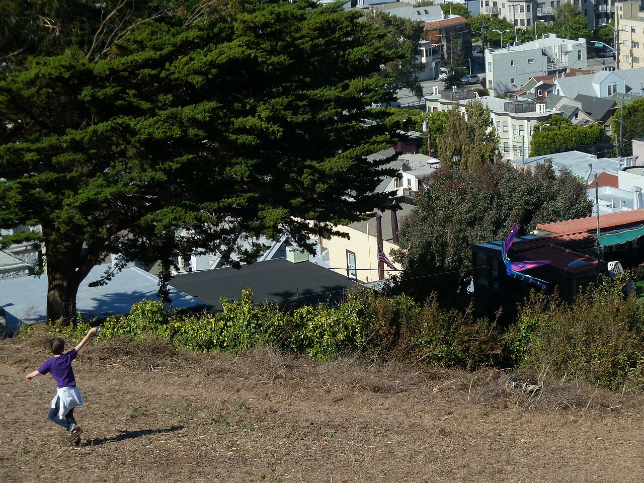
Kite Hill Open Space
- Notable
- Nature site
Nature site · San Francisco
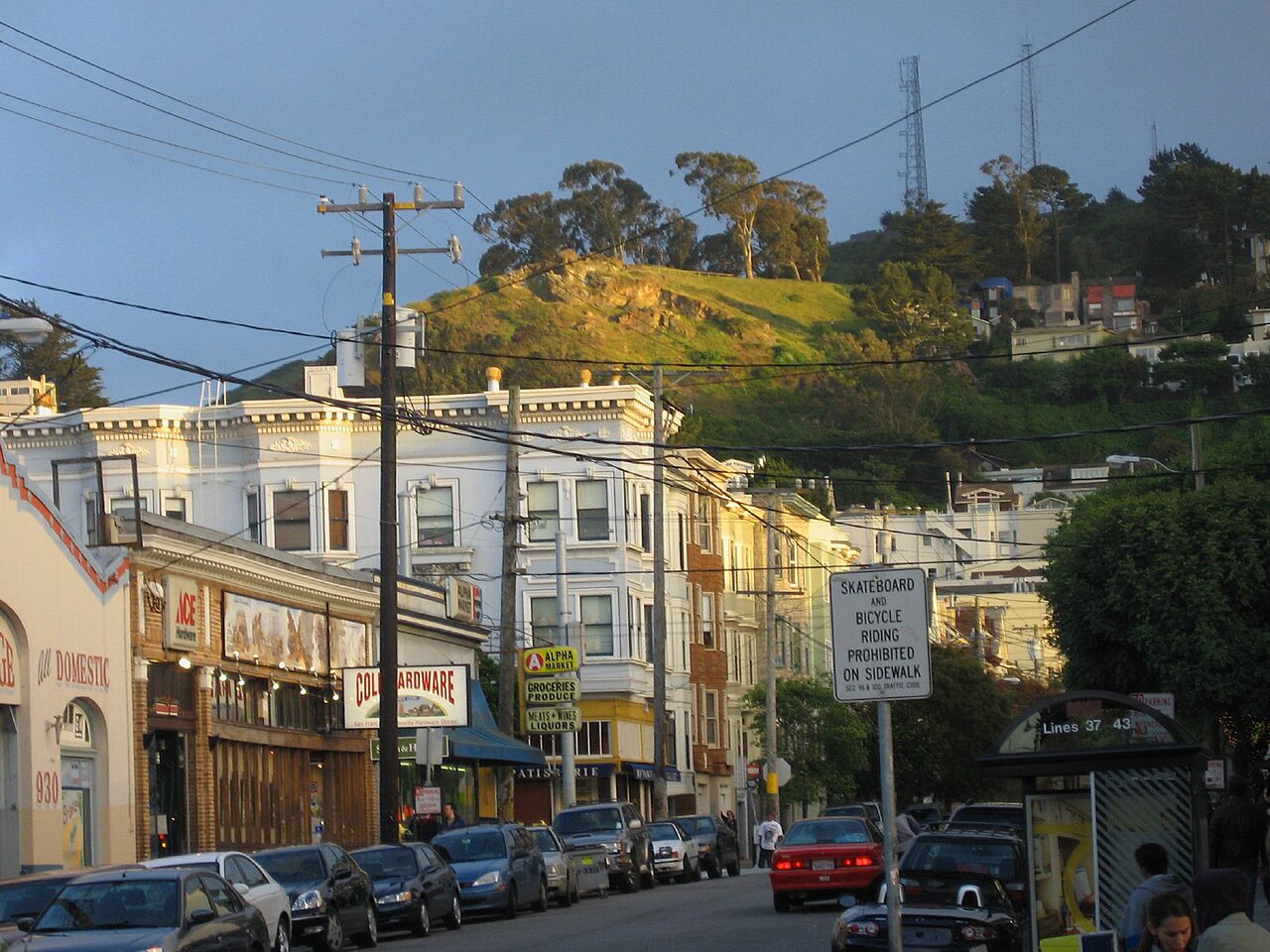
Tank Hill is a compact open-space summit and viewpoint in San Francisco. Managed as part of the city’s park system, it offers a close perspective across central San Francisco from a residential hilltop setting. The name recalls water tanks that once occupied the site. This is a simple outdoor stop rather than a developed attraction, suited to travelers who enjoy urban panoramas, native hillside vegetation, brief walks, and quieter viewpoints away from the city’s largest tourist crowds. Tank Hill is a small open-space summit in San Francisco, California. It functions as a public park and viewpoint within the city's park system, managed by the San Francisco Recreation and Park Department. The hill offers an unusually close perspective across central San Francisco, making it a notable vantage point despite its modest size. The open-space designation indicates limited developed facilities, preserving natural terrain. Its name derives from historical water tanks that once occupied the site. The park provides urban green space in a residential neighborhood setting. The open-space terrain with unpaved paths and potential steep sections requires supervision. No playground facilities are recorded. Parental judgment should assess individual child capability.
Checked 2026-08-26 · Source
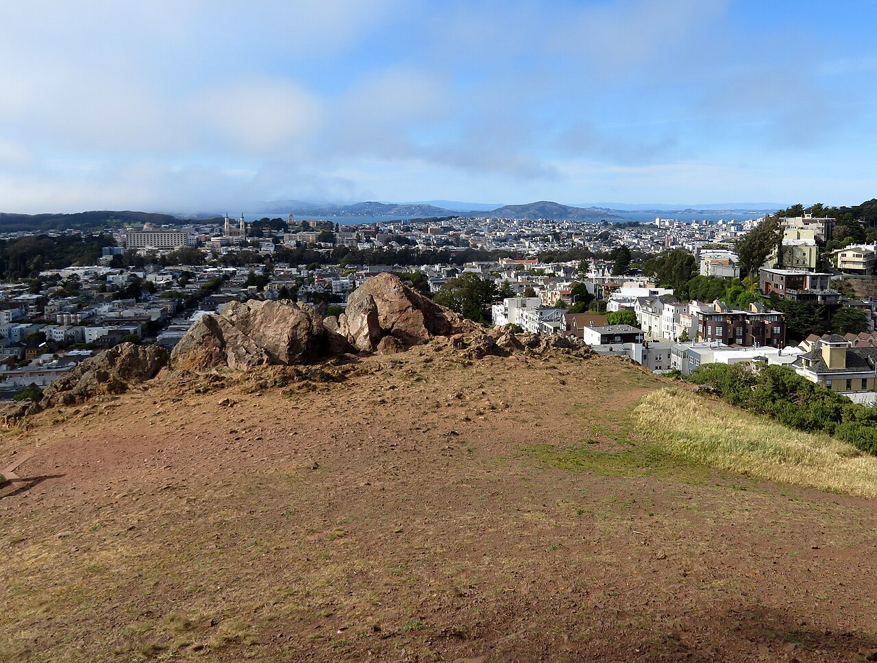
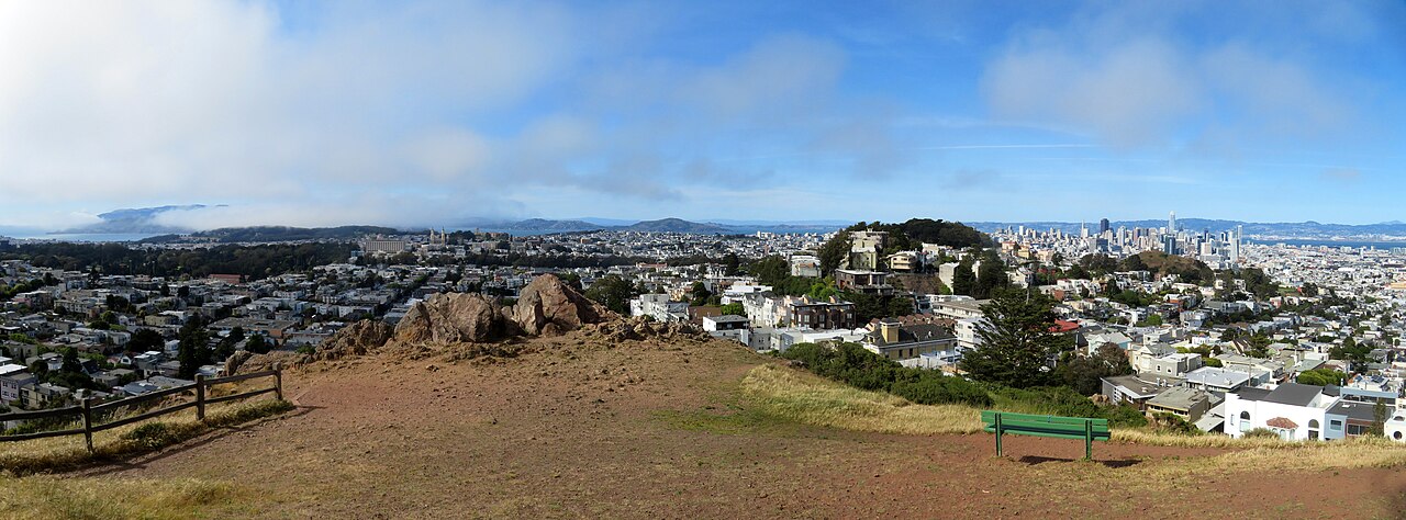
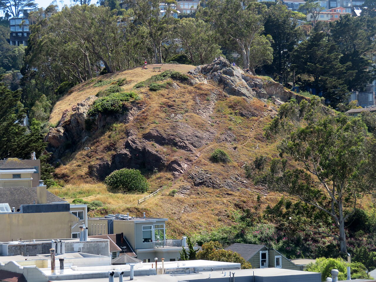
Tank Hill Open Space consists mainly of natural hillside terrain, unpaved paths, vegetation, and a summit area with broad viewing opportunities. Its appeal comes from the landscape and the panorama rather than buildings, exhibits, sports facilities, or formal gardens. The small scale makes it easy to understand on arrival, but the ground can be uneven and sections may be steep. Bring the mindset of visiting a natural urban viewpoint: there is no indoor attraction or structured program to fill the stop.
Checked 2026-08-26 · Source
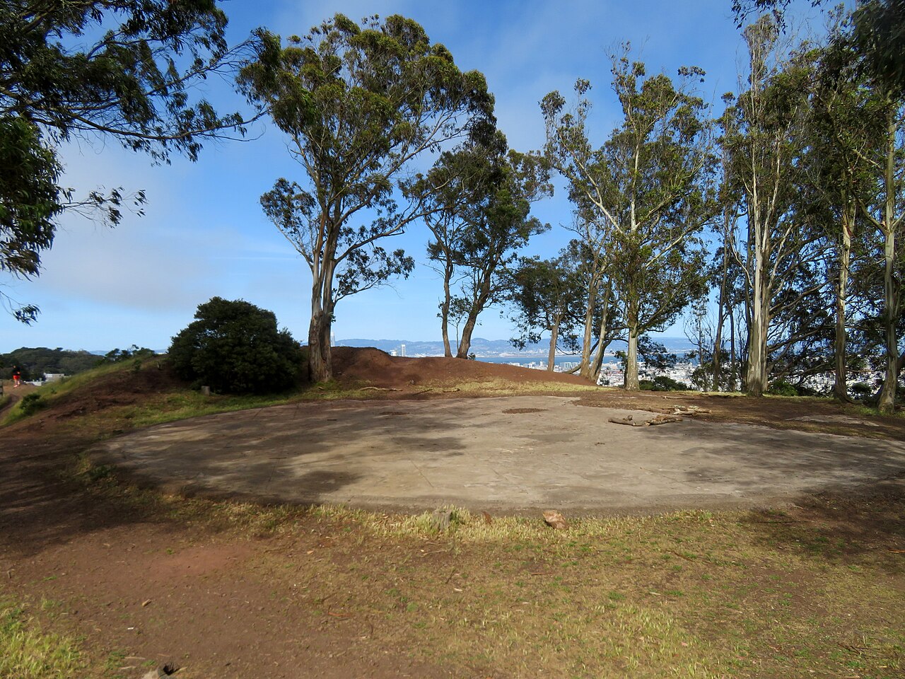
Most travelers need around fifteen to thirty minutes to walk through the small open space, pause at the summit, and take in the view. Photographers may stay longer when the skyline, light, or fog is changing. Tank Hill also works as a short pause within a neighborhood walk rather than as a full-day destination. Allow extra time if the uphill approach is demanding or if you want to sit quietly and enjoy the surrounding vegetation.
Checked 2026-08-26 · Source
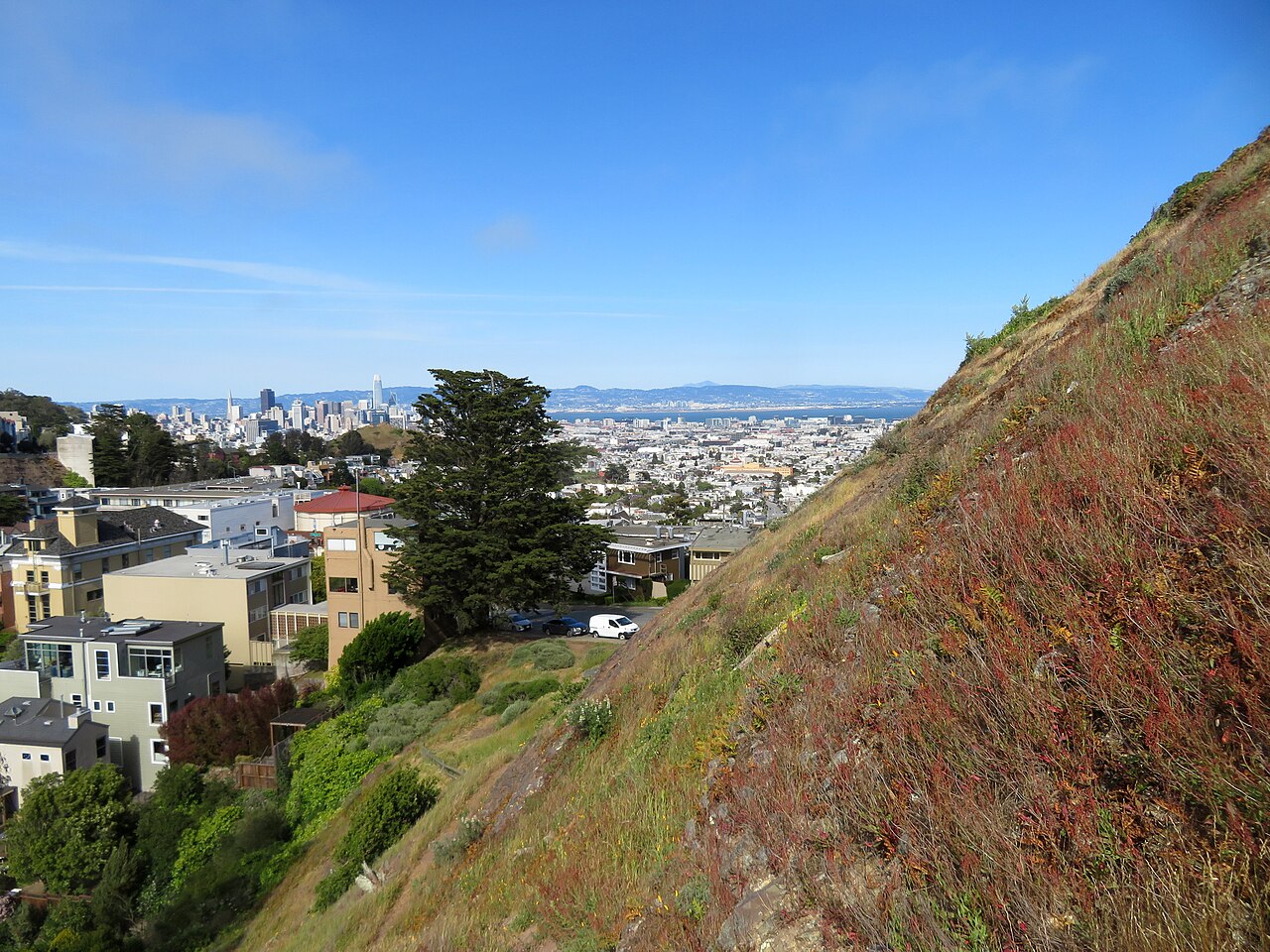
Clear conditions give the viewpoint its strongest reward, while San Francisco’s marine layer can soften or hide distant views. Morning fog is common in summer, and later daylight can bring different colors across the city. Sunset is attractive when the approach and hillside conditions suit your plans. Choose daylight for easier movement across natural ground, especially if you are unfamiliar with the paths. Tank Hill fits well between neighborhood stops when the weather favors an open-air panorama.
Checked 2026-08-26 · Source
Tank Hill is a public open-space viewpoint, so a normal visit is treated as a park stop rather than a ticketed attraction. The experience is based on walking through the hillside and enjoying the panorama, with no exhibition or scheduled program requiring admission. Parking in nearby streets is a separate practical matter from entering the open space. Travelers planning organized or commercial photography should distinguish that activity from an ordinary personal visit.
Checked 2026-08-26 · Source
Reach Tank Hill through San Francisco’s residential street network, then expect a walking approach over hillside ground. Muni serves surrounding neighborhoods, while bicycles and cars can bring you close to the area before the final climb. Dedicated parking belongs to neither the attraction nor the open-space experience, so a car journey depends on nearby street conditions. Once inside, the site is compact and requires no internal transport. Comfortable shoes are more useful than a detailed sightseeing timetable.
Checked 2026-08-26 · Source
Natural paths can be uneven, steep, or slippery after rain. Wear footwear with dependable grip and take care near hillside edges, where the terrain may not provide a protective barrier. The open-space setting offers little shelter from wind, fog, or changing weather, so layers help. Daylight makes route-finding easier, and ordinary care with personal belongings is sensible in any urban park. Travelers with mobility limitations should treat the unpaved slopes as a significant part of the decision to visit.
Checked 2026-08-26 · Source
The summit’s main photographic subject is the close urban panorama across central San Francisco. Wide views suit a phone or wide-angle lens, while changing fog and evening light can give the skyline different moods. The modest size of the hill limits the number of distinct compositions, so the stop is best paired with nearby viewpoints or neighborhood scenes. Keep clear of path edges, protect equipment from wind, and let the landscape remain the focus of the visit.
Checked 2026-08-26 · Source
Children can enjoy the viewpoint, but adults should supervise them on unpaved paths, uneven ground, and steep hillside sections. The site is a natural open space rather than a playground.
The main attraction is a close view across central San Francisco from a compact residential hilltop open space, combined with a short walk through natural terrain.
Tank Hill is an outdoor open-space site where visitors walk natural paths and hillside terrain. Travelers with dogs should keep the animal under control while sharing the compact paths with other visitors.
The unpaved paths, uneven surfaces, and possible steep sections make Tank Hill a challenging choice for wheelchair users and others who need smooth, level access.
Allow about fifteen to thirty minutes for the short walk and viewpoint. Photographers or travelers combining it with a neighborhood walk may stay longer.
Tank Hill is a smaller, more intimate viewpoint with a close urban perspective. Twin Peaks reaches higher and provides a broader panorama, so the two stops offer different scales of city view.
Loading the interactive map…
The interactive map could not be loaded.
Last updated:
Source: OpenStreetMap contributors, Wikidata ·