

01
3 hours
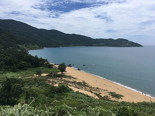
Son Tra Peninsula
Son Tra Peninsula is Da Nang's forested headland projecting into the East Sea about ten kilometres northeast of the city centre.
- Must see
- Nature site
City guide · Vietnam
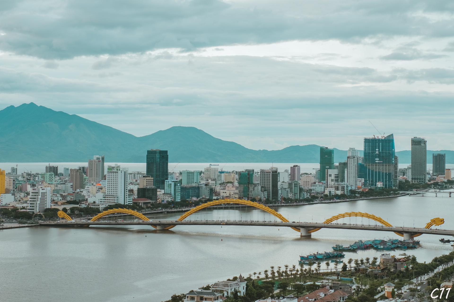
Da Nang is divided by the Han River, with the civic centre and markets on the west bank and the main beach strip on the east. The river bridges connect these tw...
Photograph · Cuong Tran · Public domain
Set your days, your pace and the hours you actually want to be out. The planner works around closing days and travel time, and leaves room to eat.
Editorial responsibility: Elena Voss · Roavina Travel Editor
Da Nang is divided by the Han River, with the civic centre and markets on the west bank and the main beach strip on the east. The river bridges connect these two practical visitor zones. The Marble Mountains lie south toward Hoi An, while the Son Tra Peninsula and Hai Van Pass extend north beyond the compact urban core.
Checked 2026-08-26
November · November brings Da Nang 486 mm of normal rain across 21 rain days, a recurring heavy-rain burden for outdoor plans.
Ranked by importance — sitelinks, pageviews and heritage status, not editor preference.
2 places match
Category
Typical visit duration
Good for
Interests
Son Tra Peninsula is Da Nang's forested headland projecting into the East Sea about ten kilometres northeast of the city centre.
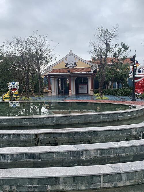
Da Nang Downtown is the city's principal amusement complex, serving as a central hub for nightlife and entertainment in Da Nang, Vietnam. The area functions as a mixed-use destination combining commercial, recreational, and social functions.
Group Han Market, the cathedral, Cham Museum and west-bank riverfront together. Cross one bridge for My Khe Beach and the eastern waterfront, then reserve a separate block for Son Tra because its roads climb away from the centre. Marble Mountains and the southern coast fit another route; Ba Na Hills and Hai Van Pass need standalone excursions.
Checked 2026-08-26
Central riverfront sights are walkable in short clusters, but beaches and outer attractions require wheels. Da Nang lists public buses, public bicycles, taxis and app-based cars or motorbikes as local options, with DanaBus providing route information. Distances to Son Tra, Marble Mountains and the mountain approaches make a planned return ride more reliable than an improvised walk.
Checked 2026-08-26

Suggested stay for a first visit: 3–4 days. Use separate time for the Han River centre, My Khe and a selected Sơn Trà or Marble Mountains route. Hoi An or Bà Nà is outside central Da Nang and needs an additional excursion day.
Group places by district instead of crossing the city repeatedly. Start with the Han River banks and My Khe; treat Son Tra, Marble Mountains and Hai Van Pass as separate routes with their own travel allowance.
Use Walking, public bus, bicycle and licensed taxi. Walk within compact clusters and consult the linked official transport information before making longer transfers or relying on a particular route.
Only within individual neighbourhood clusters. The main visitor areas are separated by distances, waterways, major roads or regional approaches, so longer links normally need public transport or a licensed vehicle.
Plan Son Tra, Marble Mountains and Hai Van Pass separately from the Han River banks and My Khe. Check the current route, return connection and any access requirements on the official source before departure.
Da Nang is a coastal city in central Vietnam. Vietnam Tourism places it on the central coast near Hoi An and Hue; its city guide highlights the beaches south of the Son Tra Peninsula.

