
8 min walk · Hietzing
Elisabethinum
- High · Heritage site
- Historic monument
Language · 11 published
Viewpoint · Hietzing, Vienna
Reviewed by Elena Voss · Roavina Travel Editor
This place is a Peak.
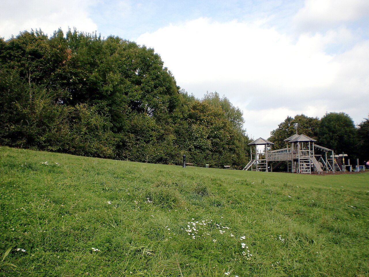
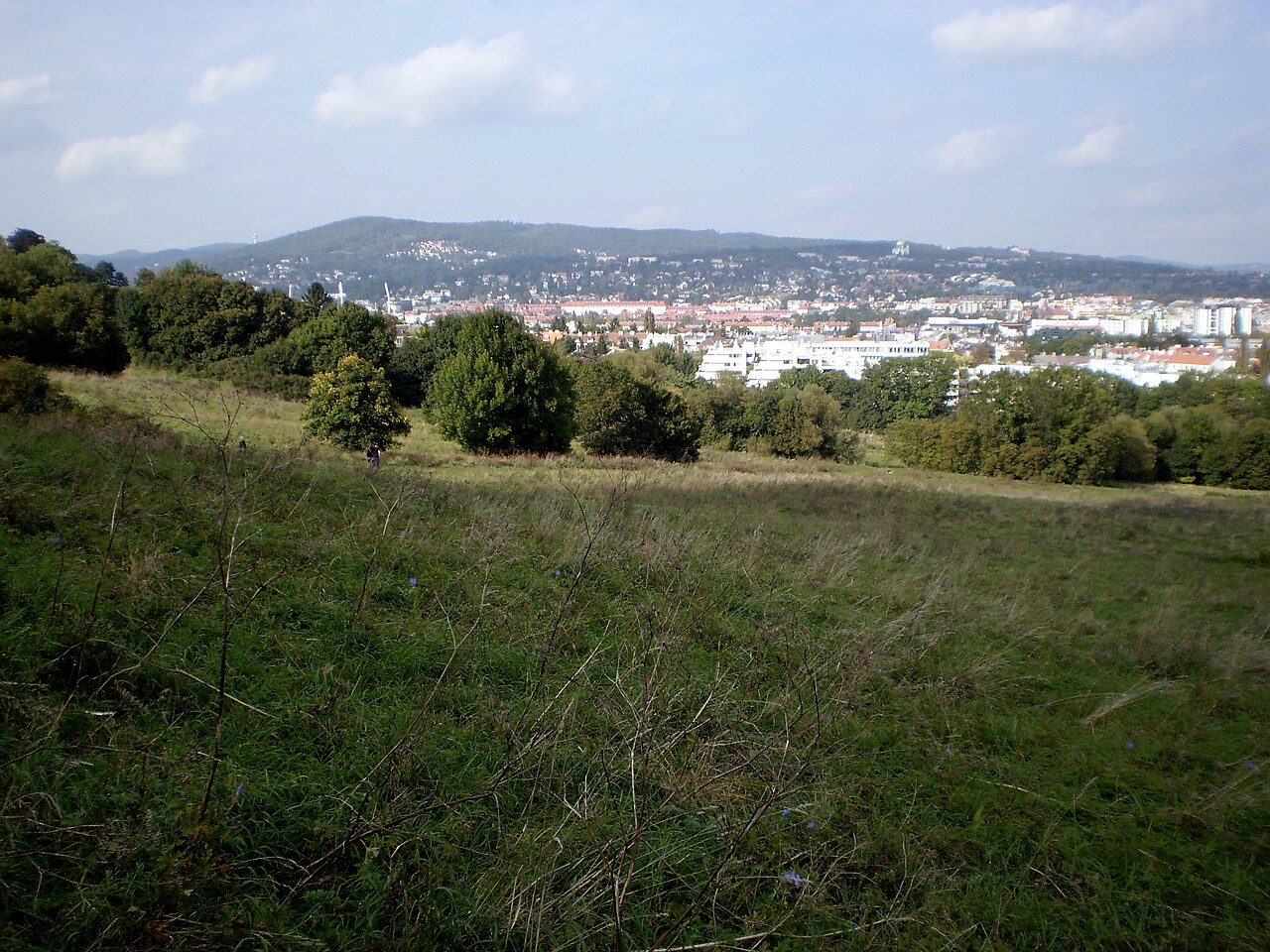
Girzenberg is a 285-metre hill in Vienna’s 13th district, Hietzing, in the Ober-St.-Veit area. It belongs to the Vienna Woods and forms a connected green space with the nearby Trazerberg and Roter Berg. The summit and the northern and eastern slopes include woodland and meadows, while the western and southern edges are partly built up. Girzenberg is part of a local recreation area rather than a constructed attraction, making it suited to walking and open-air sightseeing. Its elevated position provides views across Vienna’s western landscape, although the outlook varies between wooded sections, meadows and the season’s vegetation. The hill has been within Vienna’s city boundaries since 1892. It was first documented by name in 1819, and one interpretation derives the name from the Old Slovene word gorica, meaning a small hill. Geologically, Girzenberg lies within the Vienna Woods, the northeastern continuation of the Eastern Alps, and includes formations associated with the Sankt Veit Klippenzone. The site has no recorded admission ticket, visitor centre or fixed attraction schedule; plan it as an outdoor viewpoint and walking stop in Hietzing.
Checked 2026-09-02
Loading the interactive map…
The interactive map could not be loaded.
Last updated:
Source: OpenStreetMap contributors, Wikidata ·