.jpg)

3 min walk
Fabrique
- Notable
- Nightlife venue
Language · 11 published
Nature site · Split
Reviewed by Elena Voss · Roavina Travel Editor
Read from the OpenStreetMap access tags; anything not listed has no tag recorded.
Set the group type to family in the planner and the day window contracts to about three quarters of a solo day.
Matejuška Harbour is a small historic fishing port on the western end of Split’s Riva waterfront. Its boats, stone quays, nets and working maritime setting offer a close look at the city’s coastal character. It is best understood as a living harbour rather than a conventional museum or scheduled attraction. The compact waterfront makes it an easy stop while exploring the old town, Diocletian’s Palace and the lower slopes of Marjan. Matejuška is a small historic fishing harbour in Split, Croatia, situated on the western edge of the Riva waterfront. This compact working port represents one of the last remnants of traditional maritime life in Croatia's second-largest city. The harbour shelters small wooden fishing boats, known locally as falkuša vessels, which have operated from these waters for generations. Matejuška serves as a tangible connection to Split's pre-tourism economy, where fishing sustained coastal communities long before the modern city developed around Diocletian's Palace. The harbour lacks dedicated facilities for children. Uneven surfaces and unprotected water edges present safety considerations requiring close supervision.
Checked 2026-08-26 · Source
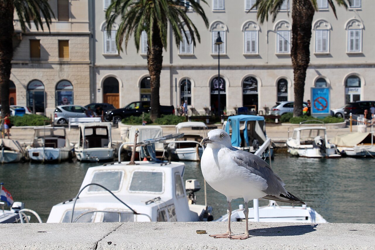
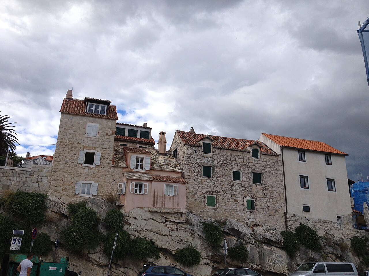
Along the harbour you will find small fishing boats, weathered wooden craft, ropes, nets, maritime equipment and low stone quays. Narrow streets and residential buildings surround the water, giving the area a distinctly local atmosphere. There is no formal exhibition hall or visitor centre to tour. The interest lies in seeing an active coastal neighbourhood, its boats and practical waterfront details in their everyday setting. The harbour contains a modest collection of moored fishing boats, weathered wooden craft that demonstrate traditional Adriatic boat-building techniques. Small stone quays and modest storage structures line the water's edge. Nearby, the area includes basic maritime equipment and nets used by working fishermen. The immediate surroundings feature narrow streets with residential buildings dating from various periods. Several informal gathering spots exist where fishermen congregate. The harbour offers no formal exhibition spaces, visitor centres, or curated displays; its contents remain functional rather than decorative, preserving an authentic working environment rather than a reconstructed heritage presentation.
Checked 2026-08-26 · Source
Allow around fifteen to thirty minutes for a simple walk around the harbour and a few photographs. A longer visit suits travellers who enjoy observing boats, ropes, stonework and changing light. Early morning can bring more visible fishing activity, while evening offers a quieter waterfront mood. Matejuška works particularly well as a short pause between the Riva, Diocletian’s Palace and Marjan. Visitors typically spend fifteen to thirty minutes observing harbour activities and absorbing the atmosphere.
Checked 2026-08-26 · Source
Visit during daylight for the clearest view of the quays, boats and equipment. Dawn is a strong choice for travellers hoping to see the harbour at its most active. Dusk brings softer light and a calmer atmosphere, although working activity is reduced. Summer may feel busy around the waterfront; cooler seasons can provide a more reflective visit and different light on the stone surfaces.
Checked 2026-08-26 · Source
Matejuška is a public harbour area rather than a ticketed indoor attraction. A casual walk along the quayside does not involve a museum-style entrance procedure. The harbour’s value comes from its working boats, waterfront views and connection with Split’s older coastal life. Boat excursions or other commercial activities associated with the wider waterfront are separate experiences and should not be confused with visiting the harbour itself.
Checked 2026-08-26 · Source
Walk west along Split’s Riva from the centre; Matejuška is close to Diocletian’s Palace and sits beneath the lower slopes of Marjan. The harbour fits naturally into a route linking the palace, waterfront and Marjan paths. The immediate area is pedestrian in character, so walking is more practical than driving. From the waterfront, follow the quay and nearby lanes toward the cluster of fishing boats.
Checked 2026-08-26 · Source
The quays are working waterfront surfaces, not a polished promenade. Watch your footing on uneven stone, keep clear of nets and equipment, and stay well back from the water’s edge. Boats may move through the harbour, and fishermen need room to work. Dawn visits require extra care in low light. During busy periods, narrow spaces can become crowded, so leave room for residents and harbour users.
Checked 2026-08-26 · Source
Matejuška rewards detail photography: colourful boats, worn timber, ropes, nets, reflections and pale stone create strong close compositions. Morning light can illuminate the vessels from the east, while calm water produces clear reflections. The harbour’s compact scale favours intimate views over broad panoramas. Photograph people and working activity discreetly, avoid blocking the quay, and keep tripods or bags out of active passageways.
Checked 2026-08-26 · Source
Children can enjoy the boats and waterfront atmosphere, but uneven stone and unprotected water edges require close adult supervision.
The harbour has small fishing boats, stone quays, ropes, nets, maritime equipment and surrounding residential lanes.
The boats are working vessels. Enjoy them from the quay and do not enter or board without direct permission from the people using them.
Historic stone quays and uneven surfaces make movement difficult for many wheelchair users.
A short visit usually takes fifteen to thirty minutes, with extra time useful for photography or quiet observation.
Walk there from Diocletian’s Palace along the Riva, then continue toward Marjan for a connected waterfront-and-hill itinerary.
Loading the interactive map…
The interactive map could not be loaded.
Last updated:
Source: OpenStreetMap contributors ·