
2 min walk
Domus Aurea
- High · Heritage site
- Historic monument
Language · 11 published
Nature site · Rome
Parco del Colle Oppio
Reviewed by Elena Voss · Roavina Travel Editor
This place is a Park.
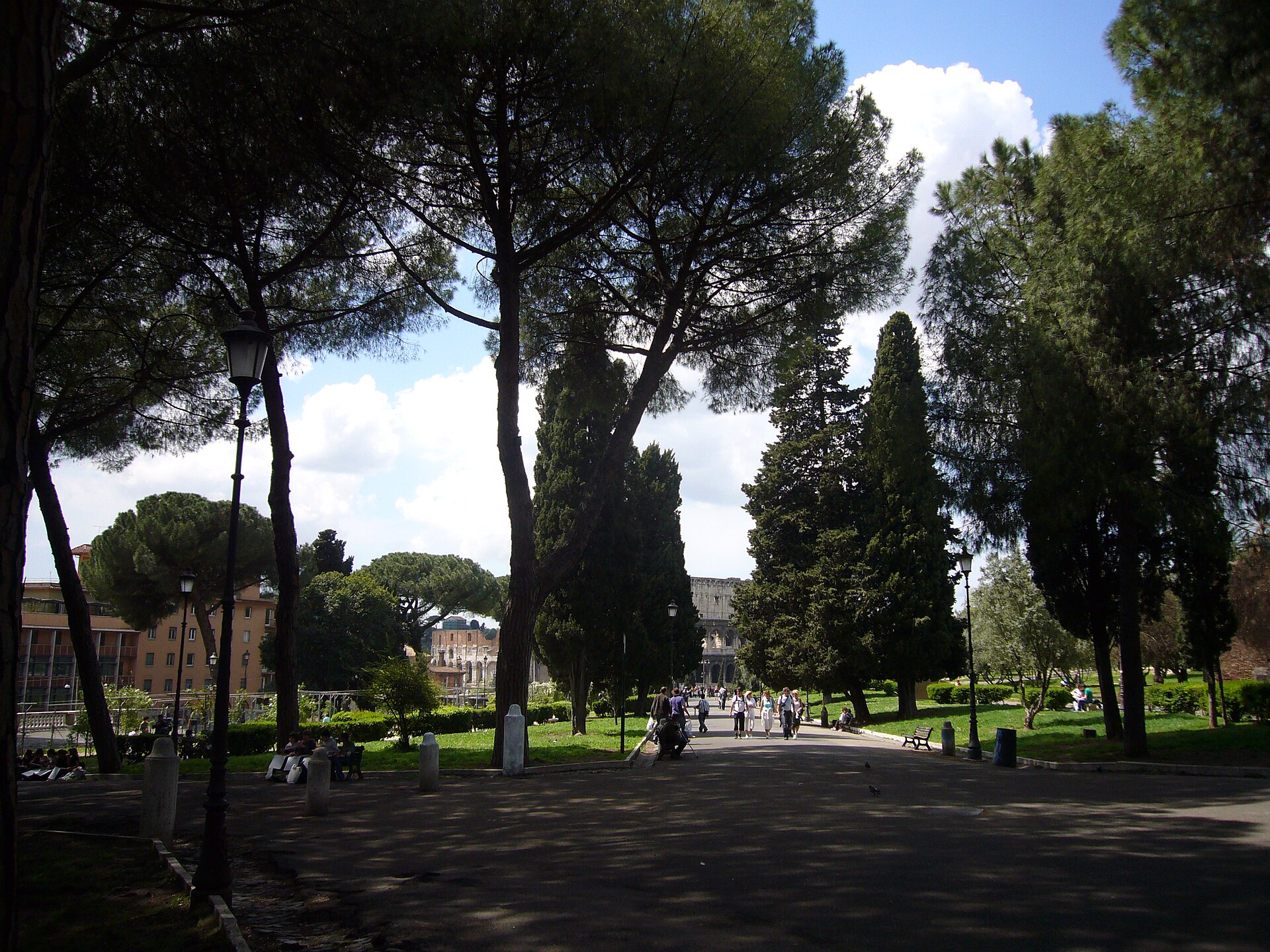
Oppian Hill Park, or Parco del Colle Oppio, is a public green space on Rome’s historic Oppian Hill in the Monti district. It rises northeast of the Colosseum and offers a different perspective on the ancient city: visitors move among lawns, trees, paths and exposed masonry from an elevated ridge. The hill preserves archaeological layers from imperial Rome while remaining part of everyday urban life. It is a rewarding pause between major attractions, particularly for travellers who want open air, ruins and views in one central location. Parco del Colle Oppio is a public park situated on the Oppian Hill, one of the ancient Seven Hills of Rome. The relationship between the visible Baths of Trajan remains and any accessible interior of the Domus Aurea requires on-site verification. Separate ticketing and entry procedures may apply to subterranean archaeological components.
Checked 2026-08-26 · Source
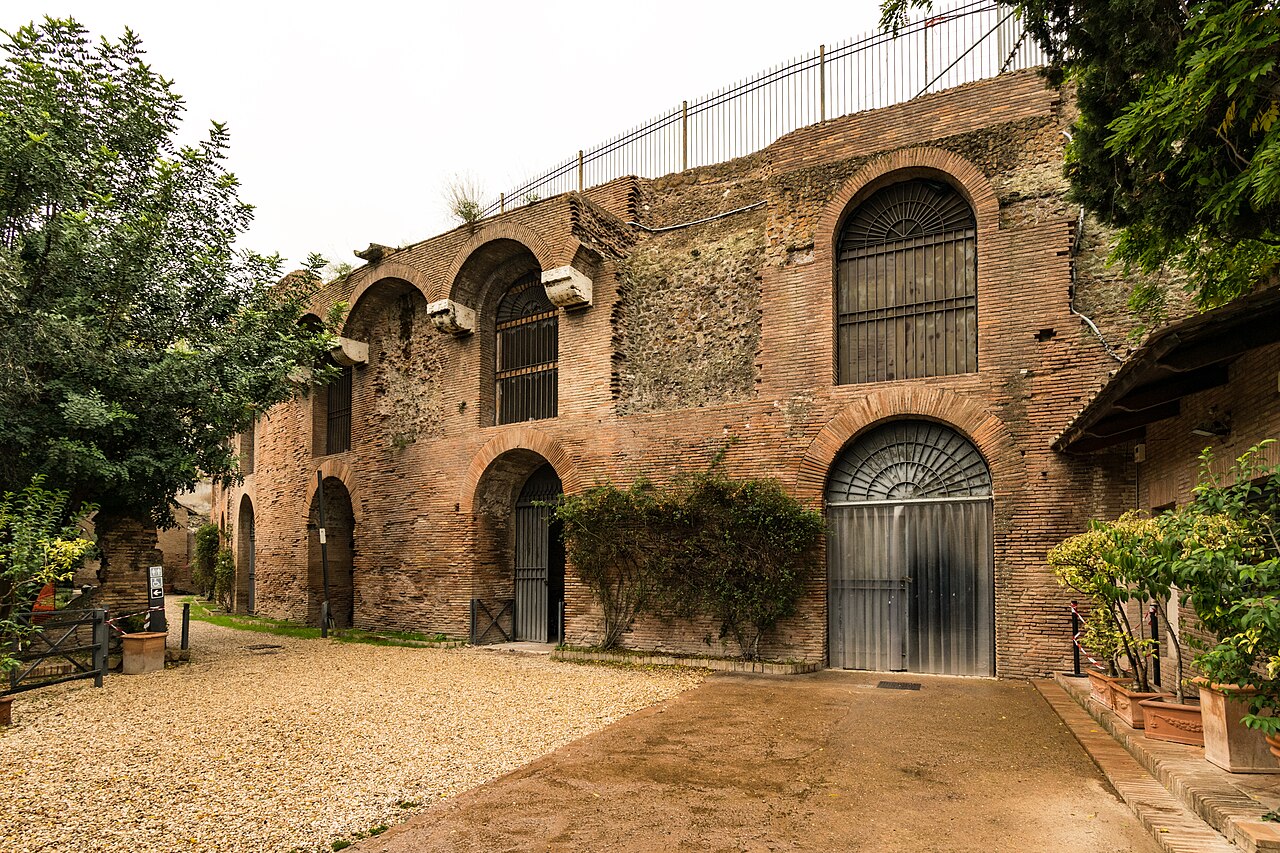
The park combines landscaped paths and vegetation with substantial ancient remains. Parts of the Baths of Trajan are visible in the grounds, built over the earlier Domus Aurea associated with Nero. Brick and concrete ruins appear among trees and open areas, so the visit feels like moving through an archaeological landscape rather than entering one enclosed monument. Playgrounds and walking routes make the hill useful for local recreation as well as sightseeing. From higher points, views toward the Colosseum and nearby ancient monuments connect the ruins with Rome’s wider imperial landscape.
Checked 2026-08-26 · Source
Allow about 30 to 45 minutes for a straightforward walk through Oppian Hill Park, with time for the main ruins and views toward the Colosseum. Give yourself 60 to 90 minutes if you want to linger beside the archaeological remains, explore more paths, pause in the green spaces or take photographs from several angles. The park works well before or after the Colosseum area, and its open layout lets you shorten or extend the stop without losing its main character.
Checked 2026-08-26 · Source
Morning and late afternoon are especially rewarding for the hill’s views and for the texture of the ancient masonry. The elevated, tree-covered setting can feel more comfortable than fully exposed archaeological areas during warm weather, while changing vegetation alters how much of the ruins stands out. Visit in daylight so the paths, slopes and uneven archaeological ground are easier to read. The park’s position beside the Colosseum makes it practical whenever your route passes through Monti, the Colosseum valley or the surrounding ancient sites.
Checked 2026-08-26 · Source
Oppian Hill Park is described as a municipal public park, so the landscaped area is a useful place to include in Rome without planning it as a museum-style ticketed visit. The visible ruins sit within the public landscape rather than forming one separate attraction with a single entry desk. Treat the park as an outdoor stop: walk its paths, view the remains from the surrounding grounds and use the hill as a scenic link to the Colosseum area. Separate archaeological interiors nearby belong to their own sites and arrangements.
Checked 2026-08-26 · Source
The park is within walking distance of the Colosseum and can be approached from the Colosseum metro station on Line B. Expect an uphill walk as you reach Oppian Hill, with slopes and irregular surfaces underfoot. Several streets lead into the park from Monti, and the Colosseum is an easy visual reference while navigating. Walking is the natural way to arrive because the park sits in Rome’s dense historic centre, where narrow streets and restricted traffic make a private car inconvenient for a short sightseeing stop.
Checked 2026-08-26 · Source
The hill’s archaeological setting brings uneven paths, exposed masonry and changes in level. Wet weather can make surfaces slippery, while open sections offer less shade than tree-covered parts of the park. Stay attentive near ruins and elevation changes, particularly when walking with children. As in other busy central Roman spaces, keep personal belongings secure. After dark, reduced visibility makes both the ground and route-finding harder. Plan drinks and restroom stops around the park rather than relying on facilities inside the grounds.
Checked 2026-08-26 · Source
Oppian Hill Park gives photographers several subjects in one short walk: the Colosseum framed from above, weathered brick ruins, tree-lined paths and the contrast between archaeological masonry and modern parkland. Morning or late-afternoon light can bring out the relief and colour of the surviving walls. Move through the grounds rather than relying on one viewpoint, because the relationship between greenery and ruins changes around the hill. Keep equipment and movement unobtrusive near sensitive remains, and do not use a drone without required permission.
Checked 2026-08-26 · Source
You can see landscaped grounds, exposed remains of the Baths of Trajan, ancient brick and concrete structures, walking paths, playground areas and views toward the Colosseum.
Allow 30 to 45 minutes for a walk through the main areas. A slower visit focused on ruins, viewpoints, greenery and photographs can take 60 to 90 minutes.
Yes. The park stands on Oppian Hill just northeast of the Colosseum, making it practical to combine with a walking route through Rome’s ancient centre.
The park includes playground installations and walking paths, but archaeological areas have uneven ground and exposed masonry. Children need close supervision around ruins and changes in level.
Morning and late afternoon offer attractive light for Colosseum views and ancient masonry. Daylight also makes the park’s slopes, paths and archaeological surfaces easier to navigate.
Walk from the Colosseum metro station on Line B, continuing uphill into Monti. The Colosseum provides a clear orientation point, and the park is also reachable on foot from nearby ancient monuments.
Loading the interactive map…
The interactive map could not be loaded.

Last updated:
Source: OpenStreetMap contributors, Wikidata ·