4 min walk
Kyoto Station Building
- Must see
- Activity
Language · 11 published
Viewpoint · Kyoto
京都タワー
Reviewed by Elena Voss · Roavina Travel Editor
| Monday | 10:00 – 21:00 |
|---|---|
| Tuesday | 10:00 – 21:00 |
| Wednesday | 10:00 – 21:00 |
| Thursday | 10:00 – 21:00 |
| Friday | 10:00 – 21:00 |
| Saturday | 10:00 – 21:00 |
| Sunday | 10:00 – 21:00 |
Parsed from OpenStreetMap opening hours on 2026-09-24.
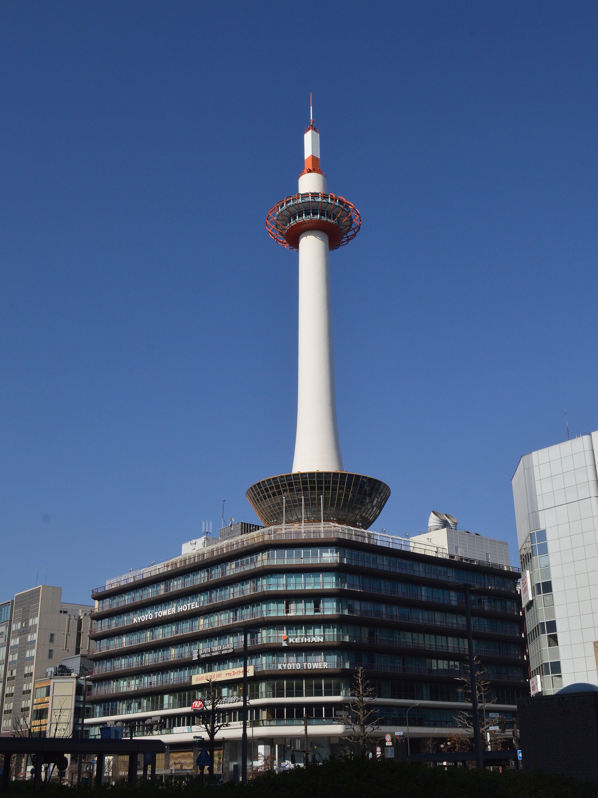
This place is a Viewpoint. It opened in 1964. It was designed by Mamoru Yamada. It is run by Keihan Hotels & Resorts.
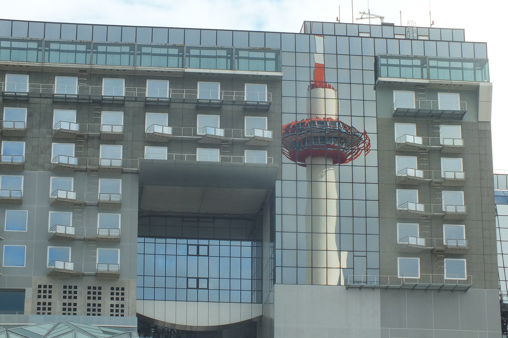
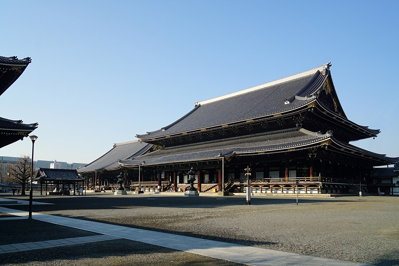
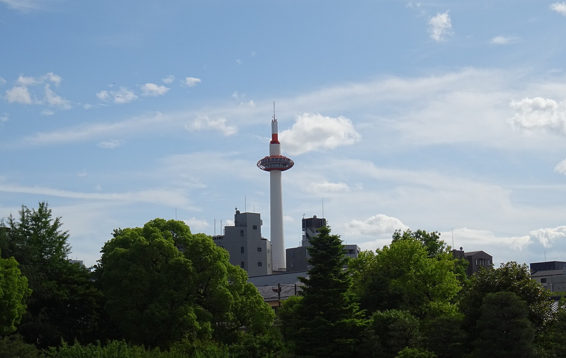
Kyoto Tower is a modern observation landmark beside Kyoto Station in Shimogyo Ward. Its elevated viewing platform gives arriving travellers an immediate sense of the city’s scale, with a striking contrast between contemporary construction and Kyoto’s many temples, shrines and traditional districts. The tower is especially useful at the beginning of a stay: from above, the surrounding urban layout becomes easier to understand. It is a city-view experience rather than a historic temple visit, so choose it for orientation and panorama. Kyoto Tower stands as a prominent observation structure in Kyoto, Japan. The tower rises near Kyoto Station in the Shimogyo Ward district, making it one of the most immediately recognizable landmarks for arriving visitors. Its distinctive modern design contrasts with the traditional temple and shrine architecture that dominates much of the city. Visitors should check official sources before visiting. Visitors must verify current costs through official channels.
Checked 2026-08-26 · Source
The tower complex includes observation decks designed for views across Kyoto, along with commercial areas that support a visitor stop near the station. The main experience is looking outward from an elevated platform and reading the city as a broad landscape rather than following a long museum route. Use the viewing areas to connect the station district with the wider urban pattern, then continue into Kyoto on foot or by public transport. The tower’s modern interior makes a clear counterpoint to the city’s historic sites.
Checked 2026-08-26 · Source
Plan roughly thirty minutes to one hour for the observation experience. That gives you time to look in several directions, identify the city’s shape and take photographs without turning the stop into a rushed elevator visit. Add time if queues are long or if you want to include the commercial parts of the complex. A brief visit fits naturally before a train journey or a station-area meal, while a slower stop works well at the start of a sightseeing day.
Checked 2026-08-26 · Source
Clear weather gives the tower its strongest views, while rain, haze and heavy cloud can reduce the panorama. Visit in daylight when you want to understand Kyoto’s layout, or choose the evening for a different perspective over the illuminated city. Busy travel seasons and Japanese holiday periods can make the station district more crowded, so allow extra time around the visit. If the sky is poor, use the tower as a short orientation stop and devote the rest of the day to indoor attractions.
Checked 2026-08-26 · Source
Kyoto Tower’s observation experience is a ticketed tourist activity, separate from simply entering the Kyoto Station area. Plan admission as one component of a station-district visit, and leave room in your schedule for the viewing platform rather than treating it as a passing photograph. The value is the elevated perspective: you are paying for time above the city and the chance to read Kyoto’s landscape from a single central landmark before continuing to temples, shopping streets or transport connections.
Checked 2026-08-26 · Source
Kyoto Tower stands immediately beside Kyoto Station, the city’s main railway and transport hub. Shinkansen and other Japan Railways services arrive at the station, while local rail, subway and bus connections make the area easy to reach from across Kyoto. The tower is visible around the station and the short pedestrian approach is straightforward. Taxis also serve the district. It is an excellent first or last stop because you can connect the view with an onward train, bus or central Kyoto itinerary.
Checked 2026-08-26 · Source
The quality of the panorama depends heavily on weather and atmospheric clarity, so expectations should follow the sky rather than a fixed promise of distant views. The observation setting may feel uncomfortable for visitors sensitive to height or enclosed elevated spaces. Kyoto Station and the surrounding district are busy, especially during major travel periods. The tower’s modern commercial character is very different from Kyoto’s traditional temples and gardens, making it best for orientation and city views rather than historical atmosphere.
Checked 2026-08-26 · Source
Kyoto Tower offers broad urban views and a useful chance to photograph the city from above. Glass reflections can interfere with images, so move close to the viewing windows and choose angles carefully. Daylight reveals the city’s structure, while evening changes the mood through urban lights. The tower itself is also a strong subject from the station district, where its modern silhouette contrasts with Kyoto’s more traditional visual identity. Keep equipment compact in crowded viewing areas and leave space for other visitors.
Checked 2026-08-26 · Source
Kyoto Tower stands immediately beside Kyoto Station in Shimogyo Ward, making it easy to combine with rail, subway and bus travel.
The observation decks provide broad views across Kyoto’s urban landscape, with visibility changing according to weather and atmospheric clarity.
Allow about thirty minutes to one hour for the main observation experience, with extra time for queues or the commercial areas.
Clear daylight is best for understanding Kyoto’s layout, while evening offers a different cityscape with urban lights.
No. It is a modern observation landmark, so it complements rather than replaces Kyoto’s historic temples, shrines and gardens.
Yes. Its position beside Kyoto Station makes it practical before departure, after arrival or as the opening stop of a Kyoto sightseeing day.
Loading the interactive map…
The interactive map could not be loaded.
Last updated:
Source: OpenStreetMap contributors, Wikidata ·
.jpg)