.jpg)
2 min walk
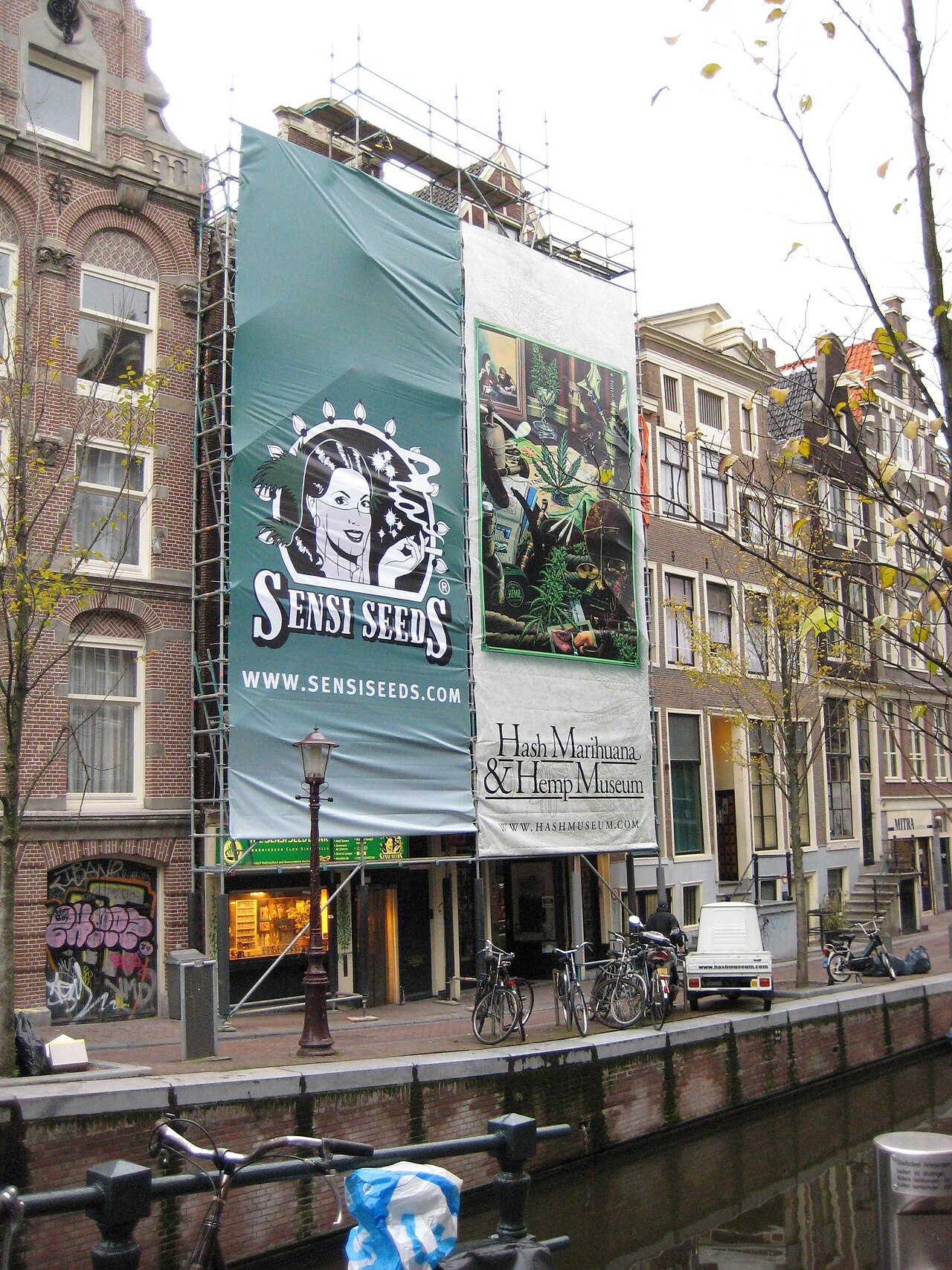
Hash, Marihuana & Hemp Museum
- Must see
- Museum
Language · 11 published
Historic monument · Amsterdam
Grachtengordel van Amsterdam
Reviewed by Elena Voss · Roavina Travel Editor
| Monday | 00:00 – 23:59 |
|---|---|
| Tuesday | 00:00 – 23:59 |
| Wednesday | 00:00 – 23:59 |
| Thursday | 00:00 – 23:59 |
| Friday | 00:00 – 23:59 |
| Saturday | 00:00 – 23:59 |
| Sunday | 00:00 – 23:59 |
Checked 2026-08-31 · Source
Read from the OpenStreetMap access tags; anything not listed has no tag recorded.
Set the group type to family in the planner and the day window contracts to about three quarters of a solo day.
It carries the World Heritage Site heritage designation.
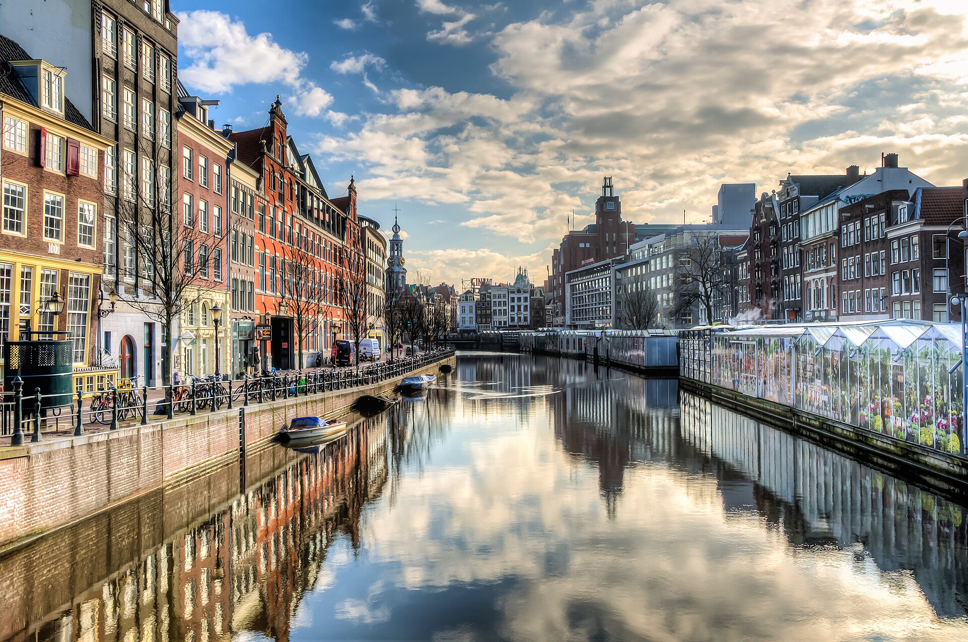
The Grachtengordel is not a building a visitor enters but a district a visitor walks through, and it is the largest single thing on Amsterdam's sightseeing list. UNESCO inscribed it in 2010 under the name Seventeenth-Century Canal Ring Area of Amsterdam inside the Singelgracht, on cultural criteria (i), (ii) and (iv). What was inscribed is a piece of engineering as much as a piece of architecture. The gabled merchant houses that everyone photographs are what was put on that reclaimed ground afterwards. Open daily, 24 hours.
Checked 2026-08-31 · Source
Three main canals carry the ring — Herengracht innermost, then Keizersgracht, then Prinsengracht — crossed by radial streets and smaller cuts, with the Jordaan pressed against the outside of the Prinsengracht. The city's own account of the area splits the work into two campaigns. The Derde Uitleg began in 1613 and covered the ground from the IJ down to the present Leidsegracht, bringing in the Jordaan and the first stretch of the ring. The shape is deliberate rather than picturesque.
Checked 2026-08-31 · Source
Two and a half hours is a realistic figure for walking the ring properly, and that is the duration recorded for this entry. It is not the time needed to cross the district, which is twenty minutes, but the time needed to walk enough of it to see what the inscription is about: one full main canal in one direction and a different one back, with the radial streets used as crossings. Free: no general admission ticket is required to walk through the public Canal Ring. Museums, canal cruises, guided tours and private buildings within it may charge separately.
Checked 2026-08-31 · Source
The canals run roughly east to west along their long straight sections, so the light crosses them rather than running down them. Season matters more here than at a museum, because the whole visit is outdoors. May and June give long evenings and the trees are in leaf but not yet heavy. Open daily, 24 hours. The Canal Ring is an outdoor neighbourhood without a single controlled entrance. Some routes present narrow pavements, cobblestones and steep canal bridges, so continuous step-free travel cannot be assumed. Metro stations are wheelchair accessible; Rokin station is specifically marked wheelchair friendly and visually accessible.
Checked 2026-08-31 · Source
There is nothing to buy to see the canal ring itself. The quaysides, the bridges and the streets between the canals are public ground, the site holder publishes no admission charge for the district, and no operator sells a ticket to it. The City of Amsterdam states that it is free of charge. Free: no general admission ticket is required to walk through the public Canal Ring. Museums, canal cruises, guided tours and private buildings within it may charge separately. The Canal Ring is an outdoor neighbourhood without a single controlled entrance.
Checked 2026-08-31 · Source
A car is the wrong tool here and the city prices it accordingly. The maximum stay is four days, and P+R RAI is capped at twenty-four hours. Miss one of those and the normal street tariff applies. Everything else is easier. Take GVB Metro 52 to Rokin for the central Canal Ring; Rokin metro station is marked wheelchair friendly and visually accessible. Continue west on foot or by mobility aid toward Singel. For the western side, note that trams do not serve Westermarkt during the Oranje Loper works, scheduled through February 2027.
Checked 2026-08-31 · Source
In practice that means scaffolding, sheet piling, pontoons moored against the bank, and stretches of the Herengracht, the Keizersgracht and the Brouwersgracht closed to traffic or narrowed to a single lane at any given time. Checking the City's project list for the specific canal before setting out is worth the two minutes. The second hazard is the bicycle. The Canal Ring is an outdoor neighbourhood without a single controlled entrance. Metro stations are wheelchair accessible; Rokin station is specifically marked wheelchair friendly and visually accessible. GVB's journey planner can filter for accessible vehicles and stops.
Checked 2026-08-31 · Source
The photograph everyone comes for is taken from a bridge, looking along a canal with a second bridge in the frame. The classic position is at Reguliersgracht where the crossing lines up with several arched bridges in a row; the other reliable one is any bridge on the Brouwersgracht, where the water is narrower and the warehouse fronts are lower, so the whole scene fits in one frame. Light along the water is the constraint. GVB's journey planner can filter for accessible vehicles and stops.
Checked 2026-08-31 · Source
It is the historic urban ensemble of concentric canals west and south of Amsterdam's medieval old town, developed as a new port-city expansion from the late 16th into the 17th century.
UNESCO inscribed it in 2010 under criteria (i), (ii) and (iv).
The listed property covers 198.2 hectares and is surrounded by a 481.7-hectare buffer zone.
The City of Amsterdam is the siteholder responsible for conserving, managing and communicating the site's heritage values; municipal management includes the Central Borough, the Bureau of Monuments and the Amsterdam World Heritage Bureau.
Yes. The city-centre waterways, including the Singelgracht, form an emission-free zone. Permitted craft include electric, hydrogen-powered, muscle-powered and qualifying transitional-permit boats.
No. Oranje Loper works have removed tram service from Westermarkt, with lines 13 and 17 diverted away from the Raadhuisstraat–Rozengracht corridor through February 2027.
Loading the interactive map…
The interactive map could not be loaded.
Last updated:
Source: OpenStreetMap contributors, Wikidata ·