.jpg)
56 min walk
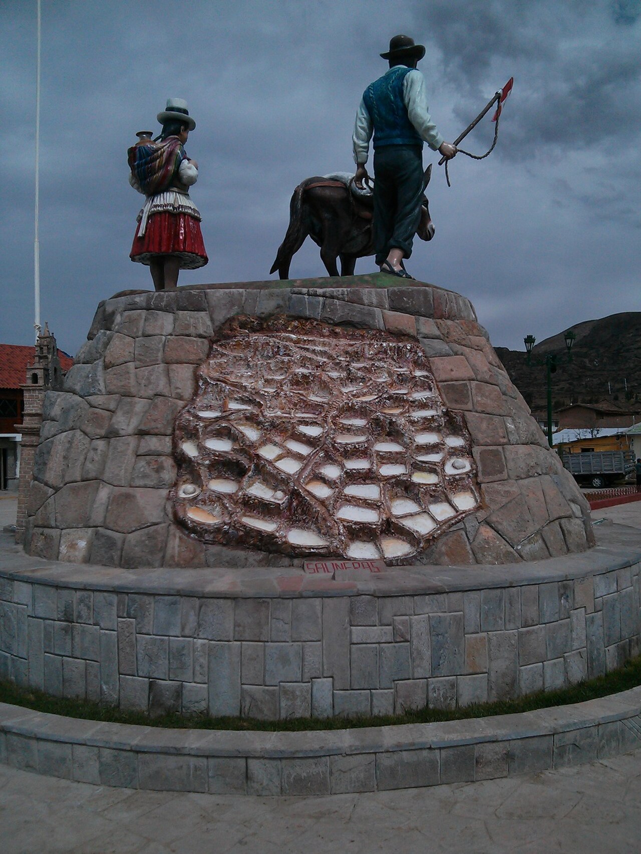
Maras Town Square
- Notable
- Nature site
Language · 11 published
Historic monument · Cusco
Reviewed by Elena Voss · Roavina Travel Editor
This place is a Attraction. It carries the cultural heritage of Peru heritage designation.
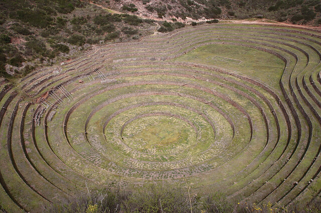
Moray is an archaeological complex near Cusco in Peru’s Sacred Valley. Its defining feature is a group of circular agricultural terraces cut into a natural depression. Concentric stone retaining walls descend toward the centre, creating a striking geometric landscape. The site shows how pre-Columbian builders adapted cultivation to varied elevations and local microclimates. It is a rural archaeological stop rather than an urban monument, and its open setting makes the scale of the terraces especially clear from the upper viewpoints. Moray is an archaeological complex in the Sacred Valley near Cusco, Peru. The terrain presents significant challenges. Paths descend into the depressions with uneven stone surfaces and no accessibility accommodations. Viewing from upper rims is possible without full descent.
Checked 2026-08-26 · Source
The complex is centred on several circular terrace formations that step down into the earth. Stone walls define each level and create layered bands of colour, texture, and shadow. The largest depression provides the clearest view of the site’s unusual design. The terraces are associated with agricultural experimentation, because their different levels create distinct growing conditions. There are no substantial monumental buildings competing with the landscape, so the visit focuses on earthworks, masonry, scale, and the relationship between the terraces and the surrounding Andean countryside. Walk slowly around the viewpoints to understand how the rings change shape from different angles.
Checked 2026-08-26 · Source
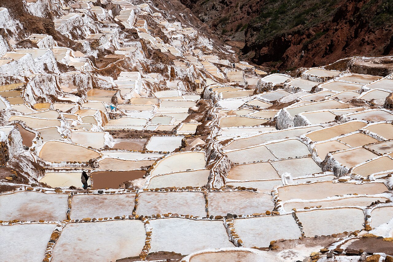
Allow about one to two hours for a focused visit to Moray. That gives enough time to view the main depression, follow the available paths, and pause at several angles for photographs. A longer stay suits travellers who want to study the retaining walls or walk more of the circuit. Moray is often paired with the Maras salt mines, making the two places a half-day excursion when transport from Cusco is included. Build extra time into the day for the rural road journey and for moving between the two sites.
Checked 2026-08-26 · Source
May through September is the drier period in the Cusco region and generally offers more dependable conditions for walking around the terraces. Rain can still occur in the Andes at any time, while the wet season brings more changeable weather and muddier paths. Morning light can define the concentric walls clearly and often gives a calmer start to a regional excursion. At roughly 3,500 metres, conditions can change quickly, so bring layers, sun protection, and rain protection even during the dry months.
Checked 2026-08-26 · Source
Moray is visited with the Cusco Tourist Ticket or a partial ticket covering the relevant Sacred Valley archaeological sites. The pass is designed for access to several locations rather than for a standalone Moray admission. Ticket types differ in their coverage and validity, so choose the one that matches the rest of your valley itinerary. Official purchase points include locations in Cusco and archaeological-site entrances. Carry Peruvian soles for the day, since cash is the practical choice for rural travel and payment arrangements can differ between locations.
Checked 2026-08-26 · Source
Moray is about 50 kilometres northwest of Cusco in the Sacred Valley. Organised excursions are the simplest option and commonly combine the terraces with the Maras salt mines. Travellers using public transport can reach the Maras area, then need a further connection to the archaeological complex. A private vehicle or taxi gives more control over timing, particularly when combining both sites. The road journey from Cusco usually takes more than an hour. Once in the Maras area, signs direct visitors toward the archaeological zone.
Checked 2026-08-26 · Source
Moray is a high-altitude outdoor site with uneven paths, exposed sun, and limited shelter. Terrace edges can be dangerous, especially after rain, and wet ground may become muddy or slippery. Stay on the established route and keep clear of steep drops. The depression can feel remote, with unreliable phone reception and no emergency service stationed beside the terraces. Carry water and dress for rapid weather changes. Visitors still acclimatising to Cusco’s elevation should keep the pace gentle and allow time to rest.
Checked 2026-08-26 · Source
The circular terraces create strong geometric compositions from the upper rim and surrounding viewpoints. A wide lens helps show the depth of the largest depression, while a longer lens can isolate the repeating stone bands. Morning or late-afternoon light brings out shadows between the levels; flat cloud can make the forms less three-dimensional. Include a person at a safe viewpoint to convey scale, but do not place anyone on fragile edges. Protect equipment from dust and sudden rain, and treat drone use as subject to heritage and aviation rules.
Checked 2026-08-26 · Source
The descent through the terraces uses uneven ground and presents substantial mobility challenges. The upper viewpoints provide a way to see the circular formations without completing the full descent.
Yes. Independent travel is possible by private vehicle or by travelling toward Maras and arranging onward transport. Once there, visitors can explore the terraces at their own pace.
Their circular layout and descending concentric levels create different growing environments within one natural depression. The stone retaining walls are the site’s central architectural and agricultural feature.
Yes. Moray and the Maras salt mines are commonly visited together as a Sacred Valley excursion, with the combined outing taking about half a day including transport from Cusco.
Yes. The complex is approximately 3,500 metres above sea level, so visitors should pace themselves, protect themselves from strong sun, and allow time to acclimatise in the Cusco region.
The descending circular terraces are the main subject. Upper-rim viewpoints show the complete geometry, while side angles emphasise the retaining walls, shadows, and depth of the largest depression.
Loading the interactive map…
The interactive map could not be loaded.
Last updated:
Source: OpenStreetMap contributors, Wikidata ·