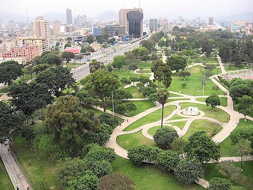
A photograph of Lima

City guide · Peru

Up to 1 hour in Lima, Peru — page 2

Lima spreads along the Pacific coast and is best understood as several distant visitor clusters. The historic centre lies inland around Plaza Mayor; Miraflores...

Photograph · Corminos · CC BY-SA 3.0

14,581 Places
Suggested stay
Not recorded
Getting around
Metropolitano, Metro, bus and authorised taxi

Turn this list into a plan

Set your days, your pace and the hours you actually want to be out. The planner works around closing days and travel time, and leaves room to eat.

Plan Lima

Reviewed by Elena Voss · Roavina Travel Editor

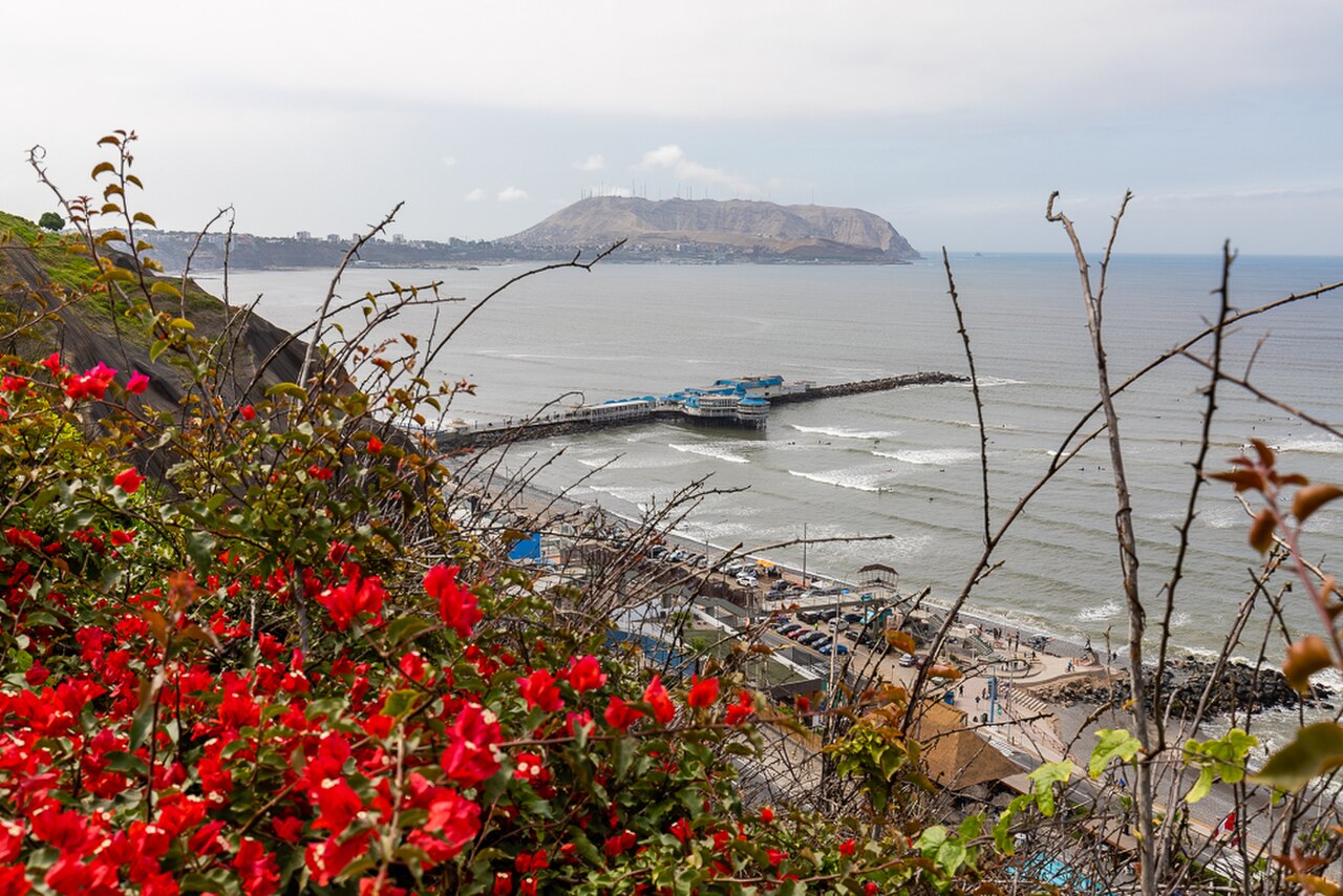
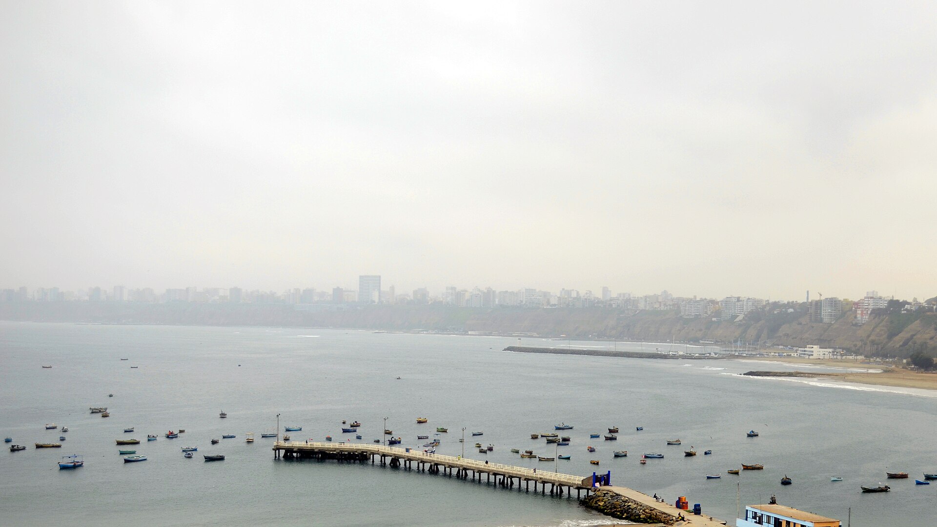
Lima spreads along the Pacific coast and is best understood as several distant visitor clusters. The historic centre lies inland around Plaza Mayor; Miraflores and Barranco form the principal coastal corridor; San Isidro sits between the centre and the coast; and archaeological sites appear across the metropolitan area. Keep the historic centre, coastal districts and outlying ruins in separate blocks because traffic can make cross-city travel slow.

Checked 2026-08-26

Practical information

Language spoken
Spanish; Quechua, Aymara and other Indigenous languages have official status where predominant
National practical orientation; regional and minority languages may also be used
Dialling code
+51
International calling code; local area and mobile prefixes still apply
Currency
Peruvian sol (PEN)
Use the official local currency; card acceptance varies by place
Emergency number
105 police · 116 fire
Use only for an emergency; tourist assistance may use a separate number
Plug type
Type A and C · 220 V
Check that chargers support the recorded voltage before using an adapter
Tap water
Not recorded
No verified nationwide visitor drinking-water statement was recorded

Planning a visit

September · September in Lima has mean high 18.7°C, mean low 14.6°C, and rainfall 5.4 mm. Cool daytime temperatures remain the month's main outdoor-planning constraint. Build in indoor stops for September in Lima rather than relying on an all-day outdoor route.

  1. January: best time to visit
  2. February: best time to visit
  3. March: best time to visit
  4. April: good time to visit
  5. May: good time to visit
  6. June: viable with meaningful trade-offs
  7. July: viable with meaningful trade-offs
  8. August: viable with meaningful trade-offs
  9. September: viable with meaningful trade-offs — current month
  10. October: good time to visit
  11. November: good time to visit
  12. December: best time to visit

Sources

Top things to see

Ranked by importance — sitelinks, pageviews and heritage status, not editor preference.

  1. El Campo de Marte El Campo de Marte
    26 1 hour

    El Campo de Marte

    Campo de Marte

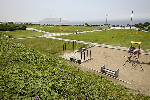
    Campo de Marte is a large central civic park in Lima, Peru. It functions as a significant public green space within the urban environment, serving both ceremonial and recreational purposes for the city.

    • High
    • Nature site
  2. Huaca San Marcos Huaca San Marcos
    27 45 min

    Huaca San Marcos

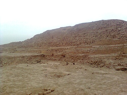
    Huaca San Marcos is a large truncated pyramid and a principal surviving monument of the Maranga archaeological complex. It is located on the campus of the Universidad Nacional Mayor de San Marcos in Lima, Peru.

    • High
    • Historic monument
  3. Huaca Santa Catalina Huaca Santa Catalina
    28 45 min

    Huaca Santa Catalina

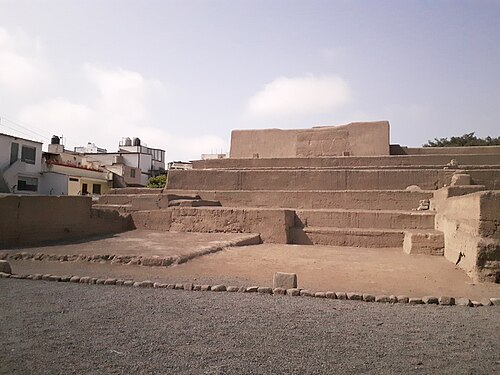
    Huaca Santa Catalina is a restored archaeological site attributed to the Ychsma culture, serving as an administrative and ceremonial centre. Located in the La Victoria district of Lima, it represents a compact urban archaeological destination within the modern city.

    • High
    • Historic monument
  4. Huaca La Florida Huaca La Florida
    29 45 min

    Huaca La Florida

    Huaca Florida

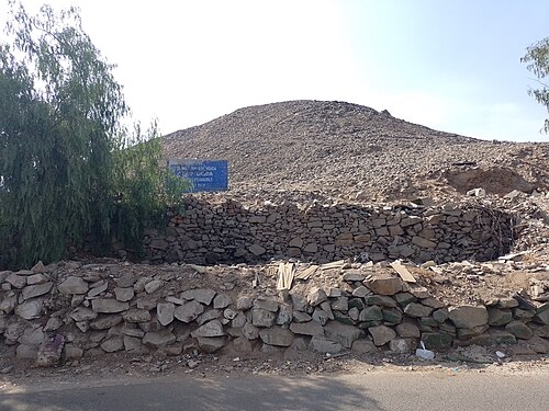
    Huaca La Florida is a monumental early pyramid located in the Rímac district of Lima, Peru. It stands as one of the oldest major ceremonial constructions in the Rímac valley, representing significant pre-Columbian architectural achievement.

    • High
    • Historic monument
  5. Morro Solar Morro Solar
    30 45 min

    Morro Solar

    Zona Histórica Intangible del Morro Solar

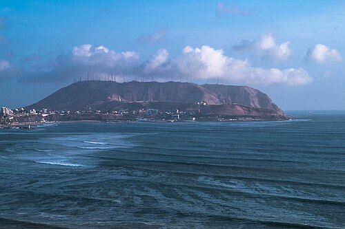
    Morro Solar is a headland located in the Chorrillos district of Lima, Peru. It rises above the Pacific coastline and serves as a prominent geographical landmark for the southern part of the city.

    • High
    • Historic monument
  6. Barranco municipal park Barranco municipal park
    31 1 hour

    Barranco municipal park

    Parque Municipal de Barranco

    Barranco Municipal Park is a historic public space in the center of Barranco’s Monumental Zone, between Pedro de Osma and Miguel Grau avenues. Peru’s official tourism inventory dates its inauguration to 13 February 1898 under Mayor Pedro Solari.

    • High
    • Nature site
  7. Ermita de Barranco Ermita de Barranco
    32 30 min

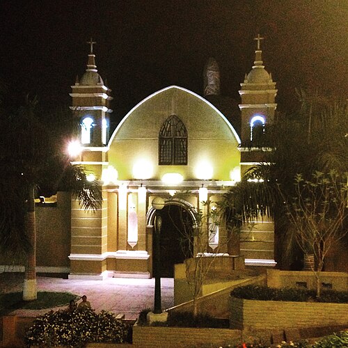
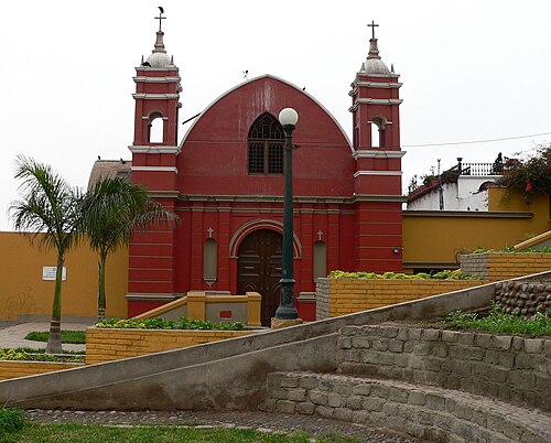
    Ermita de Barranco

    Iglesia La Ermita de Barranco

    La Ermita Church of Barranco is a historic religious structure in the Barranco district of Lima, Peru. Its local name is Iglesia La Ermita de Barranco.

    • High
    • Place of worship
  8. María Reiche Park María Reiche Park
    33 1 hour

    María Reiche Park

    Parque María Reiche

    María Reiche Park is a public clifftop green space in Miraflores, Lima, dedicated to the German-Peruvian mathematician and archaeologist María Reiche. She spent decades studying and preserving the Nazca Lines in southern Peru.

    • High
    • Nature site
  9. Mateo Salado Mateo Salado
    34 45 min

    Mateo Salado

    Complejo Arqueológico Mateo Salado

    Complejo Arqueológico Mateo Salado is an archaeological complex located in Lima, Peru. The site represents pre-Columbian architectural heritage within the modern urban environment of the capital city.

    • High
    • Historic monument

Source: OpenStreetMap contributors, Wikidata ·

How the city is laid out

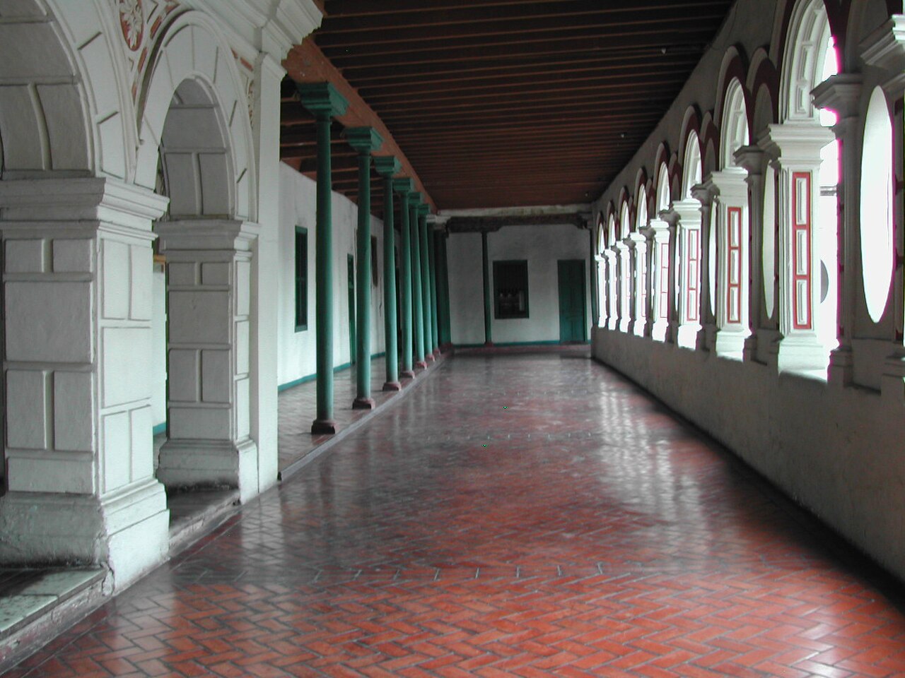
The historic centre groups Plaza Mayor, churches, convents and civic buildings. Miraflores combines clifftop parks, commercial streets and Huaca Pucllana, while Barranco continues south with galleries, historic houses and the Bridge of Sighs. San Isidro has another archaeological and business cluster. Callao and distant huacas require additional travel. The official Lima guide presents these areas as distinct routes rather than one continuous old town.

Checked 2026-08-26

Getting around

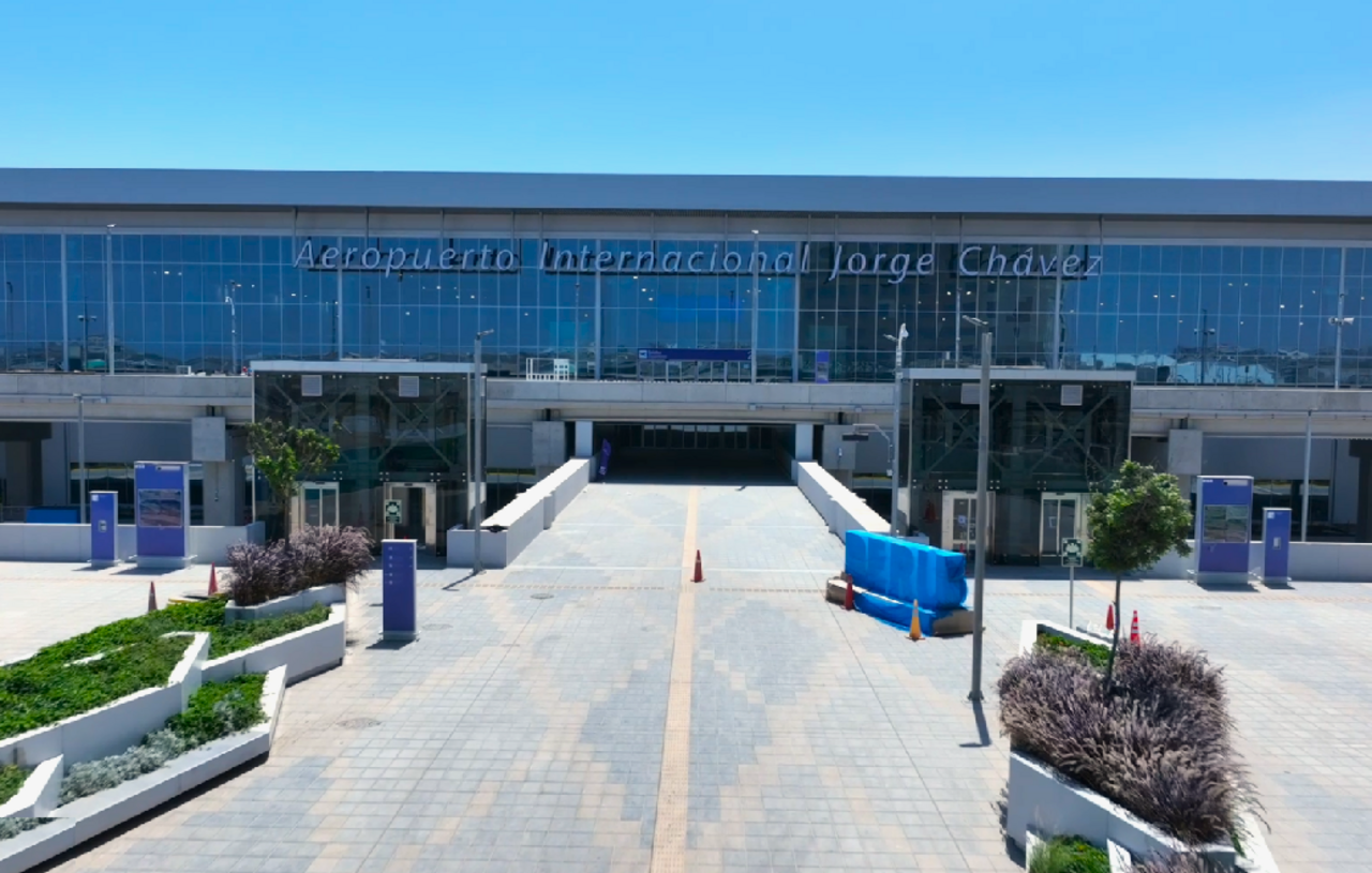
Metropolitan buses, the Metropolitano corridor, Metro services and taxis connect Lima's districts, but journey times vary with traffic. Walk within the historic centre, Miraflores or Barranco, then use planned transport between clusters. Airport and Callao journeys need additional time and a confirmed route. Use authorised services and verify current transport information locally; a place that looks nearby on a metropolitan map may still involve a long road journey.

Checked 2026-08-26

More city guides

Common questions

How is Lima organised for sightseeing?

the historic centre, Miraflores, Barranco and San Isidro are separate visitor clusters

How many days should I spend in Lima?

No fixed stay length is recorded; add blocks for central, coastal and outlying visits.

What is the easiest way to get around Lima?

Use public transport or an authorised taxi between the centre and coast, allowing for traffic.

Which places need a separate trip from central Lima?

Miraflores and Barranco form the most natural coastal pairing for one day.

What is the most practical way to plan a day in Lima?

No official best-month range is recorded; check current local conditions before travel.