Cheonggyecheon
청계천공원
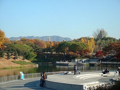
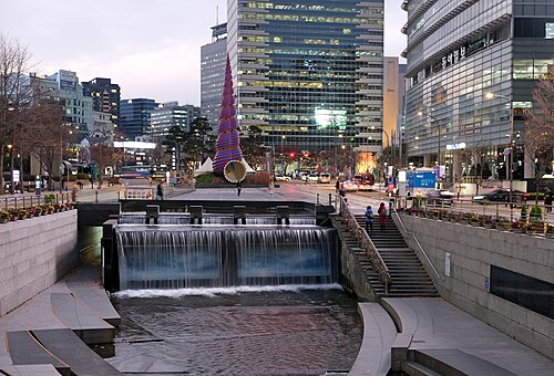
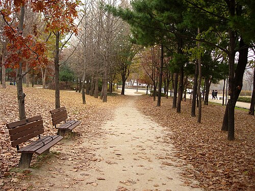
Cheonggyecheon is an 11-kilometre stream running through the middle of Seoul, sunk a storey below street level between Cheonggye Plaza and the Hangang River.
- Must see
- Nature site
City guide · South Korea
Seoul is South Korea's capital, spread across both banks of the Han River. The historic palace city lies north of the river around Jongno, Gwanghwamun and Namsa...
Photograph · USAGI_POST · CC0
Set your days, your pace and the hours you actually want to be out. The planner works around closing days and travel time, and leaves room to eat.
Reviewed by Elena Voss · Roavina Travel Editor
Seoul is South Korea's capital, spread across both banks of the Han River. The historic palace city lies north of the river around Jongno, Gwanghwamun and Namsan, while later commercial and residential centres extend south into Gangnam and east and west along the metropolitan rail corridors. The city is best approached as linked districts rather than one continuous centre: royal palaces and traditional neighbourhoods, central markets and museums, riverside areas, university quarters, and the newer southern business districts each form practical sightseeing clusters.
Checked 2026-08-26
September · September cools Seoul to a 26.2°C mean high, while rainfall falls to 141.5 mm over 9.1 days.
Ranked by importance — sitelinks, pageviews and heritage status, not editor preference.
14 places match
Category
Typical visit duration
Interests
청계천공원
Cheonggyecheon is an 11-kilometre stream running through the middle of Seoul, sunk a storey below street level between Cheonggye Plaza and the Hangang River.
서울숲
Seoul Forest is a major urban park located in Seongdong-gu, Seoul, South Korea. The local name is 서울숲. It was developed on former landfill and industrial sites, transforming degraded land into substantial green space.
올림픽공원
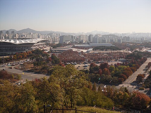
Olympic Park is a major public park in Seoul, South Korea, established for the 1988 Summer Olympics. The local name is 올림픽공원. It occupies a large site in the Songpa-gu district and serves as a legacy venue from the Games.
서울식물원
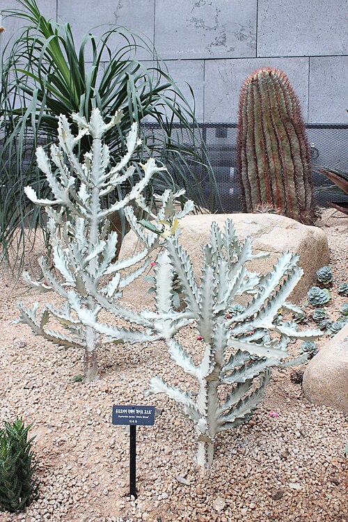
Seoul Botanic Park, also called 서울식물원, is a large botanical garden in western Seoul. It gives visitors a plant-focused break from the city's dense streets, combining conservation, education, landscaped gardens, and recreation.
여의도공원
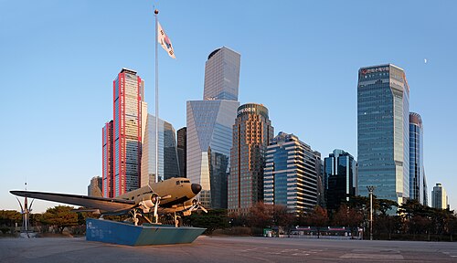
Yeouido Park is an urban green space on Yeouido, an island in the Han River in Seoul.
하늘공원
World Cup Park is a large public green space in western Seoul, created on a former landfill site during the urban improvements associated with the 2002 FIFA World Cup.
The Han River is the clearest dividing line. North of it, the palace-and-Namsan core includes Gwanghwamun, Jongno, Bukchon, Insadong, Dongdaemun and Myeongdong. Westward, Hongdae and the university districts form another cluster; Yeouido occupies an island in the river. South of the Han, Gangnam, Apgujeong and Samseong are modern commercial areas with their own attractions. Seoul's official visitor maps divide suggested routes into the downtown palace and Namsan area, Apgujeong, Gangnam and Samseong, which is a useful way to avoid repeated cross-city travel.
Checked 2026-08-26
Use the subway as the default between districts and walk within each cluster. Stations and lines are colour-coded, exits are numbered, and major information appears in Korean and English. A Tmoney transport card can be used across the network; single-journey passes are also available from station machines. Buses reach areas beyond convenient rail stops, but the official visitor guide notes that they can be harder for first-time visitors despite colour-coded route types. Check the official transport page for current operating information before travel.
Checked 2026-08-26
A fixed stay length is not recorded. Allocate time by district: the palace core, central markets and museums, a western neighbourhood such as Hongdae, and the southern districts if they match your interests.
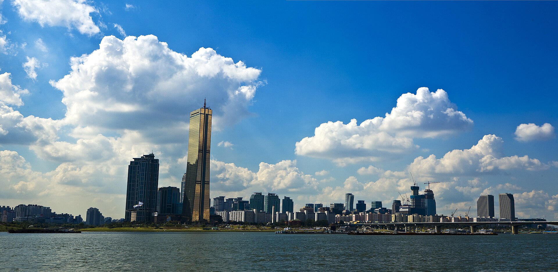
The Han River. The older palace city and Namsan are north of it, while Gangnam, Apgujeong and Samseong form major visitor clusters on the south side.
Yes. Lines are colour-coded, station exits are numbered, and major signs use Korean and English. The official tourism guide recommends the subway as one of the most efficient ways to cross the city.
Use the subway for most cross-city journeys. Buses are useful for areas between stations, but route information can be less intuitive for a first visit even though services are colour-coded.
No. They sit in different city clusters on opposite sides of the Han River. Use the subway between them and reserve walking for the sights within each district.