
5 min walk
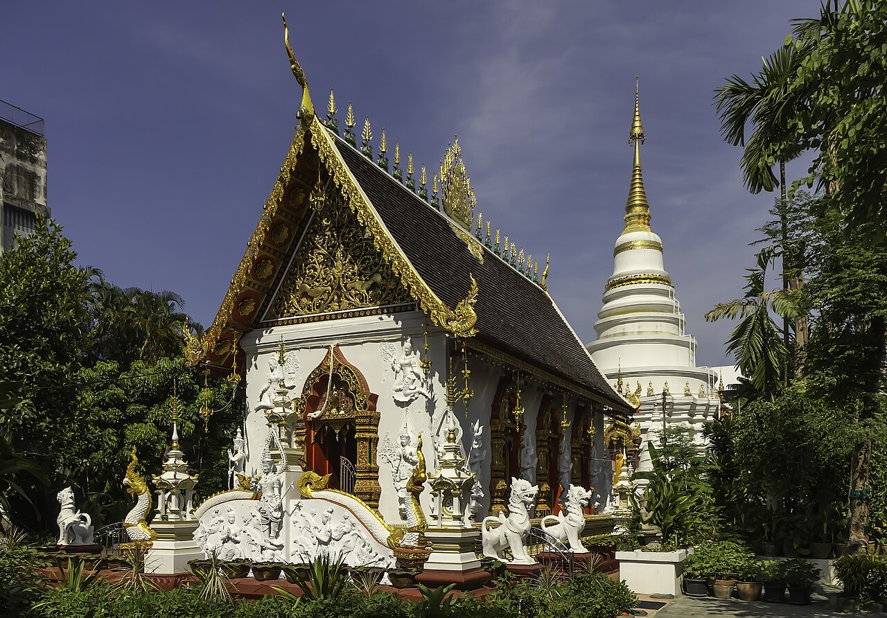
Wat Up Khut
- Notable
- Place of worship
Activity · Chiang Mai
| Monday | 00:00 – 23:59 |
|---|---|
| Tuesday | 00:00 – 23:59 |
| Wednesday | 00:00 – 23:59 |
| Thursday | 00:00 – 23:59 |
| Friday | 00:00 – 23:59 |
| Saturday | 00:00 – 23:59 |
| Sunday | 00:00 – 23:59 |
Checked 2026-08-31 · Source
| Per person | Free entry |
|---|
Checked 2026-08-31 · Source
Read from the OpenStreetMap access tags; anything not listed has no tag recorded.
Set the group type to family in the planner and the day window contracts to about three quarters of a solo day.
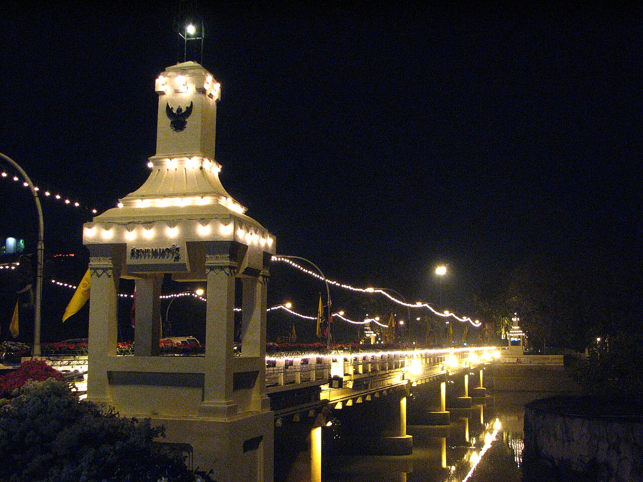
Nawarat Bridge spans the Ping River in Chiang Mai, northern Thailand. The bridge serves as a functional river crossing and a recognised visitor landmark within the city's urban fabric. It connects the eastern and western banks of the Ping River, facilitating both vehicular and pedestrian movement. The structure holds modest architectural interest and functions as a practical reference point for navigation. Its riverside positioning places it within a broader corridor of evening activity, including nearby dining and informal commerce. Open continuously, daily.
Checked 2026-08-31 · Source
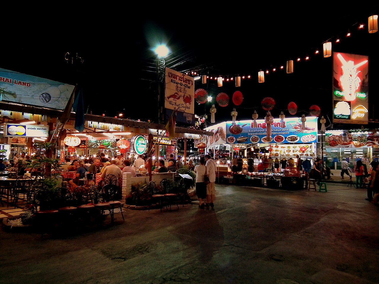
Nawarat Bridge itself contains no enclosed interior spaces or visitor facilities. The crossing consists of open deck structure with pedestrian walkways flanking the vehicular carriageway. The immediate surroundings on both riverbanks host informal commercial activity, particularly food vendors and small retail operations that activate during evening hours. No museums, galleries, or permanent exhibitions are associated with the bridge structure. The river beneath supports local fishing activity and occasional boat traffic. The surrounding neighbourhood provides the primary content of a visit. Nawarat Bridge is an active municipal road and pedestrian crossing with no scheduled weekly closure. Chiang Mai Municipality also uses it for evening civic events.
Checked 2026-08-31 · Source
A transit crossing of Nawarat Bridge requires under five minutes at walking pace. Visitors incorporating the bridge into a broader riverside exploration typically allocate thirty to ninety minutes for the surrounding precinct, depending on dining or commercial engagement. Evening visits extend duration through participation in informal food vending and atmospheric observation. No queues or controlled access govern bridge passage. The structure rewards brief passage rather than extended stationary occupation, though the riverbanks permit longer pauses. Free. This is a municipal public bridge without an admission gate or visitor ticket.
Checked 2026-08-31 · Source
The bridge functions as public infrastructure with continuous physical accessibility. Evening hours, approximately sunset to 22:00, present elevated activity through riverside vending and illumination. Dry season months, November through February, offer reduced rainfall probability and moderate temperatures conducive to outdoor riverside presence. Wet season, June through October, increases precipitation likelihood and river level fluctuation. Open continuously, daily. RTC Chiang Mai City Bus route 24 serves the named Tha Phae Gate and Flower Market stops. From Tha Phae Gate, follow Tha Phae Road east to the bridge; Chiang Mai Municipality records this section as 1,055 metres. The eastern approach is Charoen Mueang Road.
Checked 2026-08-31 · Source
Nawarat Bridge imposes no access fee for pedestrian or vehicular passage. The structure operates as public infrastructure without ticketing mechanism. Associated riverside activities, including food vending and boat services where available, involve separate commercial transactions. No formal guided tours or interpretive services are documented for the bridge itself. Visitors should carry cash for incidental purchases from informal vendors. Free. This is a municipal public bridge without an admission gate or visitor ticket. The bridge deck meets the adjoining streets at road level, without a visitor stairway on the span. Pedestrians use edge sidewalks beside an active traffic route.
Checked 2026-08-31 · Source
Nawarat Bridge occupies a central riverside position in Chiang Mai's urban core. The location lies east of the Old City moat, accessible by foot, bicycle, songthaew shared truck taxi, tuk-tuk three-wheeled vehicle, or private arrangement. Walking from the Old City perimeter requires approximately fifteen to twenty minutes. RTC Chiang Mai City Bus route 24 serves the named Tha Phae Gate and Flower Market stops. From Tha Phae Gate, follow Tha Phae Road east to the bridge; Chiang Mai Municipality records this section as 1,055 metres. The eastern approach is Charoen Mueang Road.
Checked 2026-08-31 · Source
Motorcycle and vehicular traffic shares the bridge deck with pedestrians; no dedicated pedestrian segregation exists across the full span. Surface conditions merit attention, particularly during or following rainfall. Evening vending activity concentrates on the approaches rather than the deck itself, but pedestrian flow obstruction occurs. River embankments present unguarded edges without protective barriers in all locations. The bridge deck meets the adjoining streets at road level, without a visitor stairway on the span. The road-junction approaches at Tha Phae Road and Charoen Mueang Road limit independent wheelchair access.
Checked 2026-08-31 · Source
The bridge offers riverine sightlines with mountain backdrop orientation to the west, supporting sunset photography from the eastern approach. The deck provides limited vantage points due to traffic movement and railing configuration. Superior compositions typically emerge from the riverbanks immediately north and south of the crossing, capturing the bridge within broader urban-river context. Evening artificial illumination generates modest visual interest. Drone operation requires compliance with Thai aviation regulations and awareness of proximate controlled airspace associated with Chiang Mai International Airport. It crosses the Ping River, linking Charoen Mueang Road on the eastern bank with the Tha Phae district on the western bank.
Checked 2026-08-31 · Source
It crosses the Ping River, linking Charoen Mueang Road on the eastern bank with the Tha Phae district on the western bank.
The present reinforced-concrete bridge officially opened on 26 December 1967.
No. The current concrete structure replaced an iron bridge, which had itself replaced an earlier teak bridge.
The iron predecessor was named in honour of Prince Kaew Nawarat, Chiang Mai’s last ruling prince.
Construction followed the teak bridge’s removal in 1921; the iron bridge officially opened in 1923 and was removed in 1965.
The Royal Irrigation Department’s P.1 Ping River monitoring station is located at Nawarat Bridge and is used to track water levels through central Chiang Mai.
Loading the interactive map…
The interactive map could not be loaded.
Last updated:
Source: OpenStreetMap contributors, Wikidata ·