Phromthep Cape
แหลมพรหมเทพ
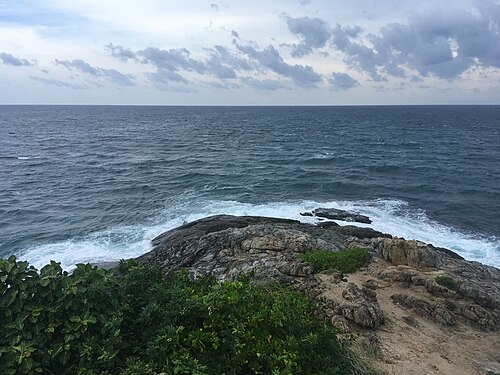
Promthep Cape is Phuket's celebrated southwestern headland and one of the island's defining sunset viewpoints. The rocky promontory reaches toward the Andaman Sea and opens broad views over the horizon.
- Must see
- Viewpoint
Language · 11 published
City guide · Thailand
Phuket is an island province rather than a single compact resort. Phuket Old Town sits inland on the southeast, major west-coast beaches form separate centres, and viewpoints, temples and marinas are spread across the island. Plan by coast and district: combine nearby beaches, reserve another block for the old town, and avoid repeated cross-island journeys through congested roads.
Reviewed by Elena Voss · Roavina Travel Editor
Set your days, your pace and the hours you actually want to be out. The planner works around closing days and travel time, and leaves room to eat.
Ranked by importance — sitelinks, pageviews and heritage status, not editor preference.
7 places match
Category
Typical visit duration
Interests
แหลมพรหมเทพ
Promthep Cape is Phuket's celebrated southwestern headland and one of the island's defining sunset viewpoints. The rocky promontory reaches toward the Andaman Sea and opens broad views over the horizon.
หาดกะตะ
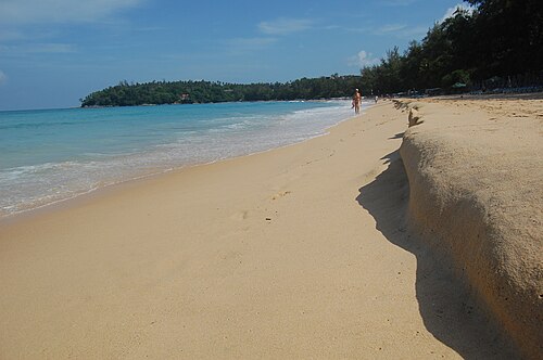
Kata Beach is a major west-coast beach on the island of Phuket, Thailand. It holds broad visitor recognition and functions as a distinct resort centre within the island's coastal tourism landscape.
หาดในหาน
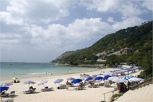
Nai Harn Beach is a substantial south-coast beach on Phuket, valued for swimming, shoreline time, and its established visitor setting.
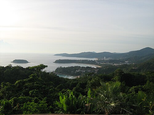
Karon Viewpoint is a roadside observation point on Phuket's southwestern coast. It offers a celebrated outlook over three adjacent bays: Kata Noi, Kata, and Karon.
หาดบางเทา
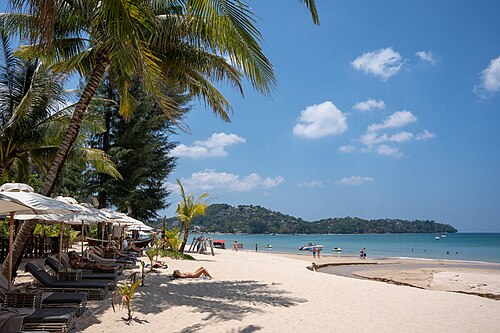
Bang Tao Beach is a long beach on Phuket’s north-west coast, surrounded by a substantial resort district.
หาดไม้ขาว
Mai Khao Beach is the longest beach on Phuket island, stretching along the northern coast. It forms part of the Sirinat National Park and serves as one of the most significant sea-turtle nesting sites in Thailand.
หาดสุรินทร์
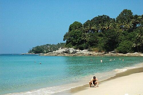
Surin Beach is a west-coast beach on Phuket’s Andaman Sea shore, north of Kamala Beach and south of Bang Tao Beach. Its curved bay combines sand, seawater, and coastal scenery.
Source: OpenStreetMap contributors, Wikidata ·
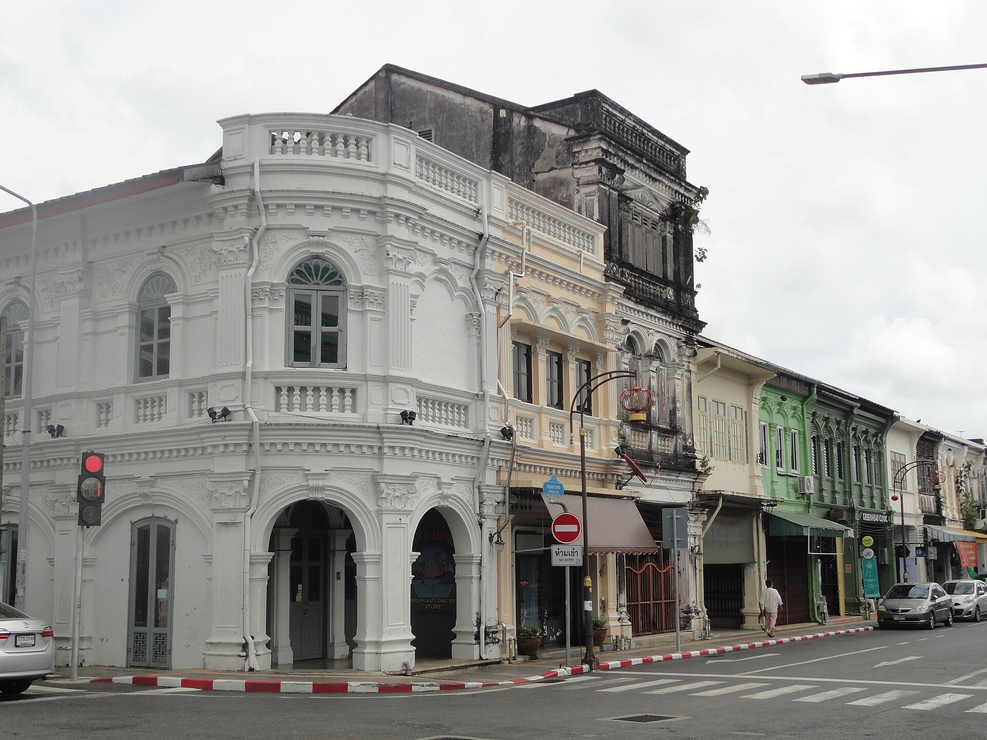
Phuket Old Town and its Sino-Portuguese streets lie inland on the eastern side. Patong, Karon and Kata form distinct west-coast beach areas, while Rawai and Promthep Cape anchor the south. The airport is in the north and boat departures use several eastern or southern piers. Distances that look short on an island map can involve slow roads, so keep each day geographically compact.
Checked 2026-08-26
Road transport is the main way to move between Phuket’s separate visitor zones. Official Thai travel guidance lists buses, minibuses, taxis and rental vehicles among provincial transport options. Walk within Old Town or one beach centre, but use an appropriate licensed service between coasts, viewpoints and piers. Check current local routes and allow extra transfer time when crossing the island.
Checked 2026-08-26
A fixed official stay length is not recorded. Choose the beaches, Old Town, viewpoints and boat departures you need, then group them by part of the island.
Individual beach centres and Phuket Old Town are walkable, but the island as a whole is not. Road transport is needed between most visitor districts.
Phuket Old Town lies inland on the island’s southeastern side, separate from the principal west-coast beach areas.
Group neighbouring beaches on the same coast. Patong, Karon and Kata can form a west-coast sequence, while southern viewpoints and Rawai suit another route.
Official Thai guidance lists buses, minibuses, taxis and rental vehicles for provincial travel. Confirm local routes and use licensed providers.