Termessus
Termessos
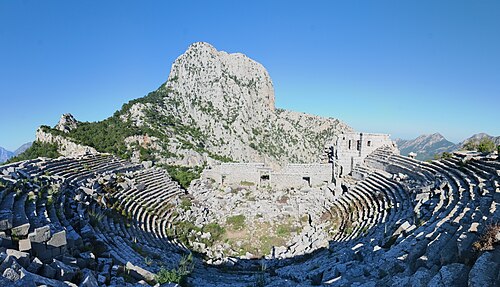
Termessos is a Pisidian city on a natural platform about a thousand metres up the south-western flank of Güllük Dağı, the ancient Mount Solymos, in the Taurus range north-west of Antalya.
- Must see
- Historic monument
Language · 11 published
City guide · Türkiye
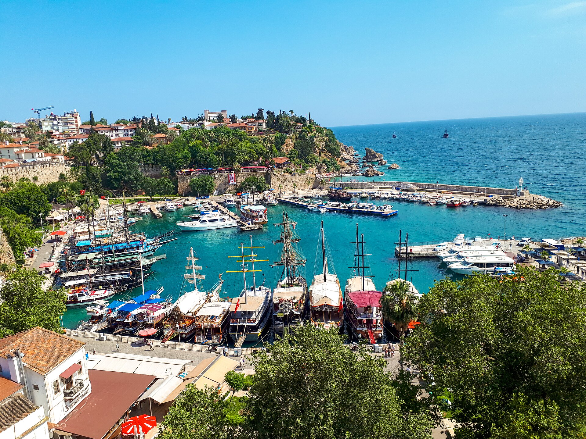
Antalya is the principal city on Türkiye's Mediterranean coast and the hub for a much wider visitor region. The compact historic core, Kaleiçi, occupies the old walled quarter above and around the Roman harbour, while the modern city spreads across the coastal plain. Major museums, beaches, parks and transport terminals sit outside the old lanes, and many famous archaeological sites associated with an Antalya trip are separate excursions along the coast or inland. Distinguish the walkable city centre from the wider province when building an itinerary.
Reviewed by Elena Voss · Roavina Travel Editor
Set your days, your pace and the hours you actually want to be out. The planner works around closing days and travel time, and leaves room to eat.
Ranked by importance — sitelinks, pageviews and heritage status, not editor preference.
3 places match
Category
Typical visit duration
Interests
Termessos
Termessos is a Pisidian city on a natural platform about a thousand metres up the south-western flank of Güllük Dağı, the ancient Mount Solymos, in the Taurus range north-west of Antalya.
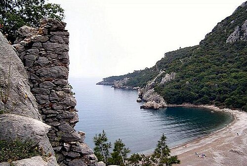
Olympos is a ruined Lycian and Roman city lying along both banks of the Ulupinar stream where the valley meets the sea, in the Yazir neighbourhood of Kumluca district, Antalya.
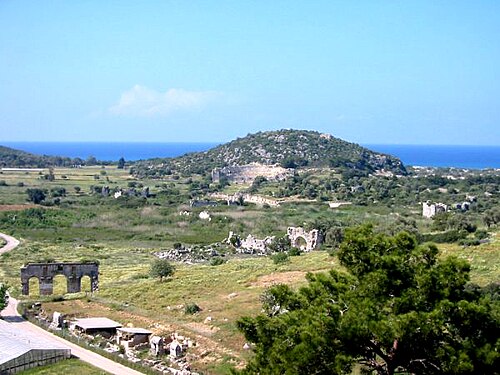
Patara is the excavated remains of the harbour city that served as the capital of the Lycian League, spread across a sandy plain behind the beach at Gelemiş, in the Kaş district of Antalya province.
Source: OpenStreetMap contributors, Wikidata ·
Kaleiçi is the oldest and most compact visitor district, enclosed by remnants of the historic walls and descending toward the old harbour. Hadrian's Gate marks its eastern edge, while the Clock Tower and Republic Square connect it with the modern commercial centre. Konyaaltı Beach and the museum corridor extend west; Lara and the Düden waterfall areas lie east. The municipality's Kaleiçi map separates long, Roman-Byzantine and Ottoman-Seljuk walking routes, a useful reminder that the old quarter rewards a dedicated walk before transport is used for the wider coast.
Checked 2026-08-26
Walk inside Kaleiçi and the adjoining central streets, then use Antalya's municipal tram and bus network for beaches, museums, terminals and outer districts. The airport, historic centre and western urban corridor are linked through public transport, but archaeological sites and resort areas across the wider province may require regional buses, organised transfers or a car. Do not treat every attraction marketed under Antalya as an urban stop. Check the municipality's current route and service information before travel because seasonal demand and works can alter practical connections.
Checked 2026-08-26
A fixed stay length is not recorded. Separate time for Kaleiçi and the urban coast from any archaeological, beach or mountain excursion elsewhere in the wider Antalya region.
Kaleiçi is the old walled quarter around the Roman harbour. Hadrian's Gate, the Clock Tower and Republic Square mark the transition between its lanes and the modern centre.
Yes. The municipality maps dedicated routes through the compact old quarter. Use transport after that walk for Konyaaltı, Lara, museums and other outer districts.
No. Antalya tourism commonly includes archaeological sites, resort towns and natural areas spread across the province. Treat those as separate regional journeys rather than urban stops.
Use municipal tram or bus services for the urban coast, then walk within each beach or park area. Confirm the current route because service patterns can change with works and seasonal demand.