Arthur's Seat
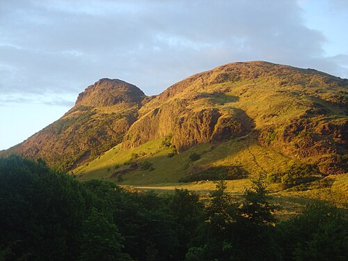
Arthur's Seat is the high point of Holyrood Park, the royal park that Historic Environment Scotland manages on the eastern edge of Edinburgh's Old Town and describes as roughly circular and about a mile in diameter.
- Must see
- Viewpoint
Language · 11 published
City guide · United Kingdom
Edinburgh is built around a dramatic ridge-and-valley centre, with the Old Town and New Town facing each other across Princes Street Gardens. Most major central sights are walkable, but steep streets, closes and cobbles slow the route. Buses and trams connect the centre with Leith, the airport and outer districts. Plan uphill and downhill sections deliberately rather than treating the map as flat.
Reviewed by Elena Voss · Roavina Travel Editor
Set your days, your pace and the hours you actually want to be out. The planner works around closing days and travel time, and leaves room to eat.
Ranked by importance — sitelinks, pageviews and heritage status, not editor preference.
4 places match
Category
Typical visit duration
Interests
Arthur's Seat is the high point of Holyrood Park, the royal park that Historic Environment Scotland manages on the eastern edge of Edinburgh's Old Town and describes as roughly circular and about a mile in diameter.
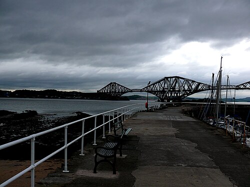
The Forth Bridges are three landmark crossings over the Firth of Forth near Edinburgh: the red steel Forth Bridge, completed in 1890; the Forth Road Bridge, opened in 1964; and the Queensferry Crossing, opened in 2016.
Blackford Hill is an elevated open space in southern Edinburgh, Scotland. It forms part of the city's broader parkland and offers elevated terrain above the surrounding urban area.
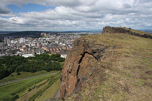
Salisbury Crags is a striking basalt cliff formation rising above Edinburgh city centre within Holyrood Park. Ancient volcanic activity created the hard rock ridge, while later glacial shaping helped form its steep faces and sloping ground.
Source: OpenStreetMap contributors, Wikidata ·
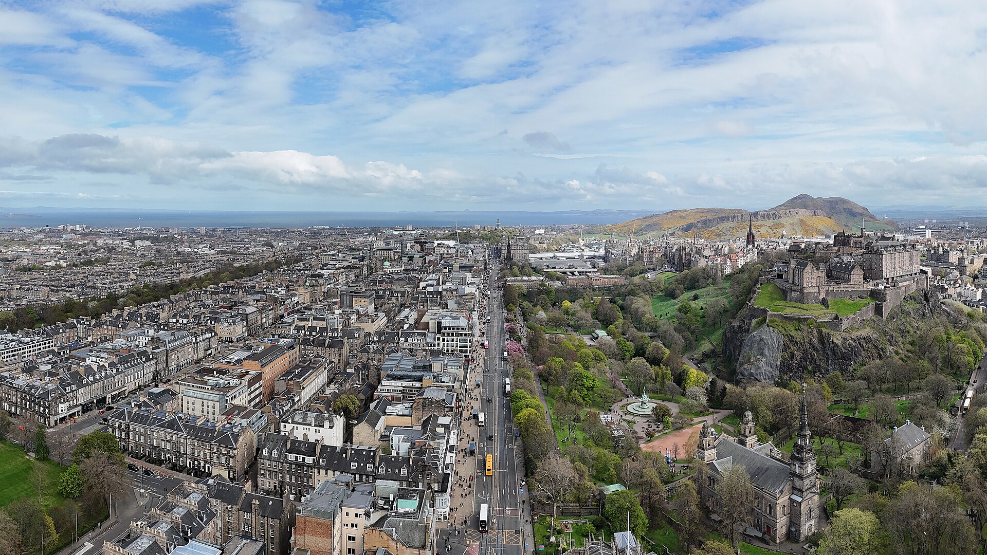
The Old Town follows the Royal Mile ridge from Edinburgh Castle to Holyrood, with closes descending sharply on both sides. Across the valley, the Georgian New Town extends north from Princes Street. Calton Hill stands east of the central station, while the Meadows and university districts spread south. Leith forms a separate waterfront centre to the northeast, and Portobello lies farther east on the coast. Arthur’s Seat and Holyrood Park need their own weather-dependent block.
Checked 2026-08-26
Walk between the Old Town and New Town, allowing extra time for slopes and cobbled surfaces. Lothian buses cover the city and surrounding districts, while the tram links the airport, city centre, Leith and Newhaven corridor. Contactless payment is available on the principal bus network, and official journey tools show current services. Use transit for Leith, Portobello and outer attractions rather than extending an already steep central walking day.
Checked 2026-08-26
Two to three days suit a first visit. One day can follow the Old Town ridge, another can cover the New Town and museums, and a third allows Leith or a weather-dependent outdoor route.
May through September offers longer daylight for viewpoints and neighbourhood walks. Festival periods can change availability and crowd levels, so confirm dates before choosing accommodation.
The central sights are close enough to walk, but steep gradients, steps and cobbles make distances feel longer. Group the Old Town ridge and New Town separately instead of repeatedly crossing the valley.
Use the tram or city buses from central Edinburgh. Leith is a separate waterfront district, so it works better as a coherent half-day than as a quick detour between Old Town sights.
The principal Lothian bus network accepts contactless payment and applies its current fare rules through the operator system. Use the same card or device consistently and review current visitor guidance before boarding.