

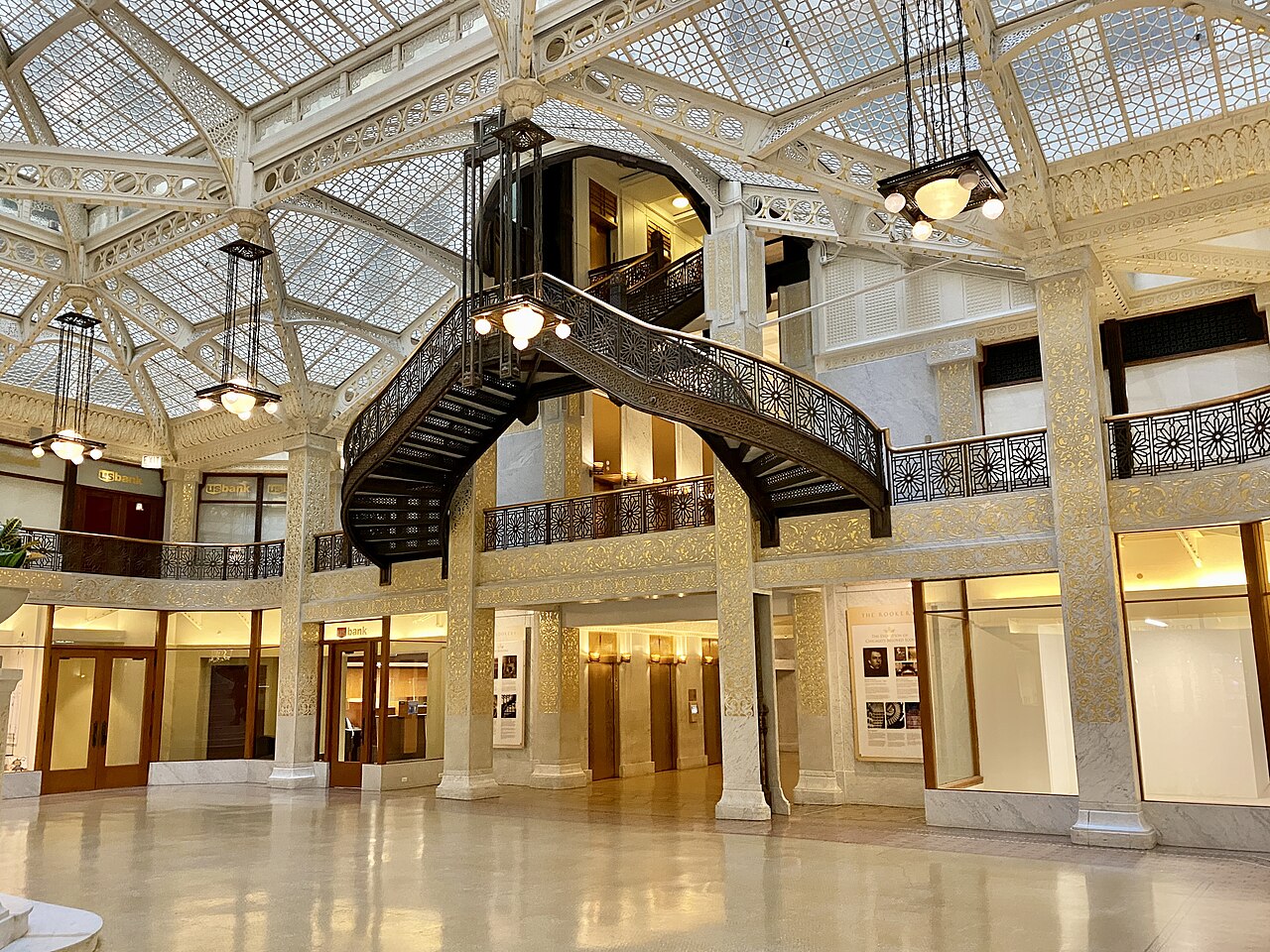
1 min walk
Rookery Building
- Must see · Heritage site
- Historic monument
Historic monument · Chicago
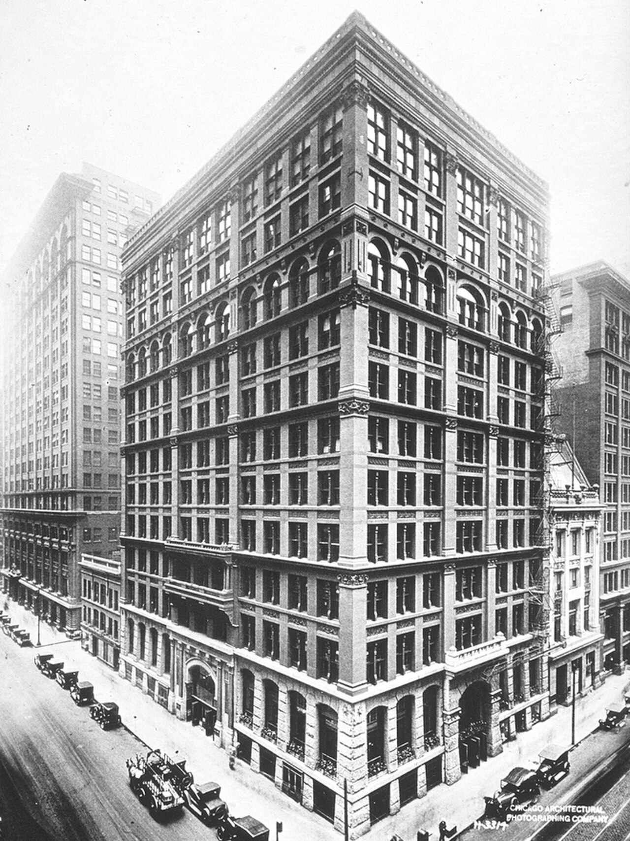
Home Insurance Building Site
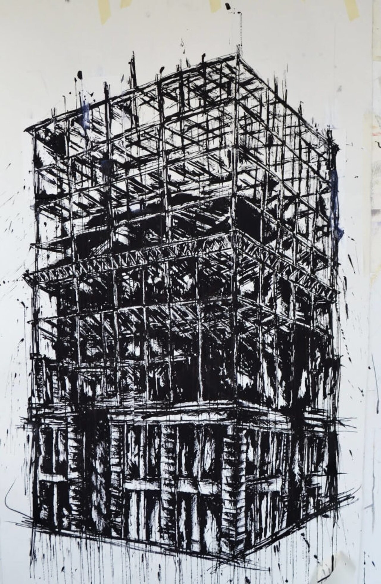
The Home Insurance Building was a pioneering skyscraper in Chicago, widely recognized as one of the world's first tall buildings to use a steel-frame construction method. Erected in 1885 and designed by architect William Le Baron Jenney, it stood at the northeast corner of LaSalle and Adams Streets in the Loop. The original structure rose ten stories, later expanded to twelve. It was demolished in 1931. Today, the site is marked by a commemorative plaque and is known as the Home Insurance Building Site, acknowledging its foundational role in modern skyscraper engineering and Chicago's architectural legacy.
Checked 2026-08-26
As the original building was demolished in 1931, no interior structure or exhibits remain at the Home Insurance Building Site. Visitors will find only the exterior commemorative marker at street level. The site itself occupies a portion of the modern urban streetscape, surrounded by contemporary commercial buildings. There are no museums, galleries, or interpretive centers dedicated to the structure at this precise location. Those interested in deeper historical context should consult the Chicago Architecture Center or the Chicago History Museum, which hold archival materials and exhibits related to early skyscraper development and Jenney's engineering innovations.
Checked 2026-08-26
A visit to the Home Insurance Building Site requires minimal time, as it consists solely of an outdoor commemorative plaque accessible at street level. Most visitors spend between five and fifteen minutes reading the marker and appreciating the historical significance of the location. The site demands no queues, security screening, or interior navigation. Travelers often incorporate this stop into broader walking tours of Chicago's Loop district, combining it with visits to nearby architectural landmarks. Allocate additional time if you intend to photograph surrounding buildings or research the site's context through mobile devices while standing at the marker.
Checked 2026-08-26
The Home Insurance Building Site is an outdoor street-level location accessible at all times, subject to normal urban conditions. As an ungated public sidewalk marker, no operating hours restrict visitation. Visitors should exercise standard caution regarding nighttime safety in any downtown environment. Daylight hours generally offer optimal conditions for reading plaque inscriptions and photographing surroundings. Weather considerations apply: harsh winters with snow and ice may reduce comfort, while spring through autumn typically provides more pleasant conditions for extended Loop district walking tours incorporating this stop. Check the operator's own site for the travel date before relying on a schedule or fare.
Checked 2026-08-26
No admission fee applies to the Home Insurance Building Site. The commemorative marker stands on public sidewalk space, freely accessible to all pedestrians. No ticketing infrastructure, reservation system, or guided tour mandate exists for this specific location. Visitors should verify whether any adjacent property management has implemented access restrictions through independent channels. Commercial walking tours of Chicago architecture that include this site as a brief stop may charge their own fees, but such arrangements remain entirely separate from direct visitation to the plaque itself. Check the operator's own site for the travel date before relying on a schedule or fare.
Checked 2026-08-26
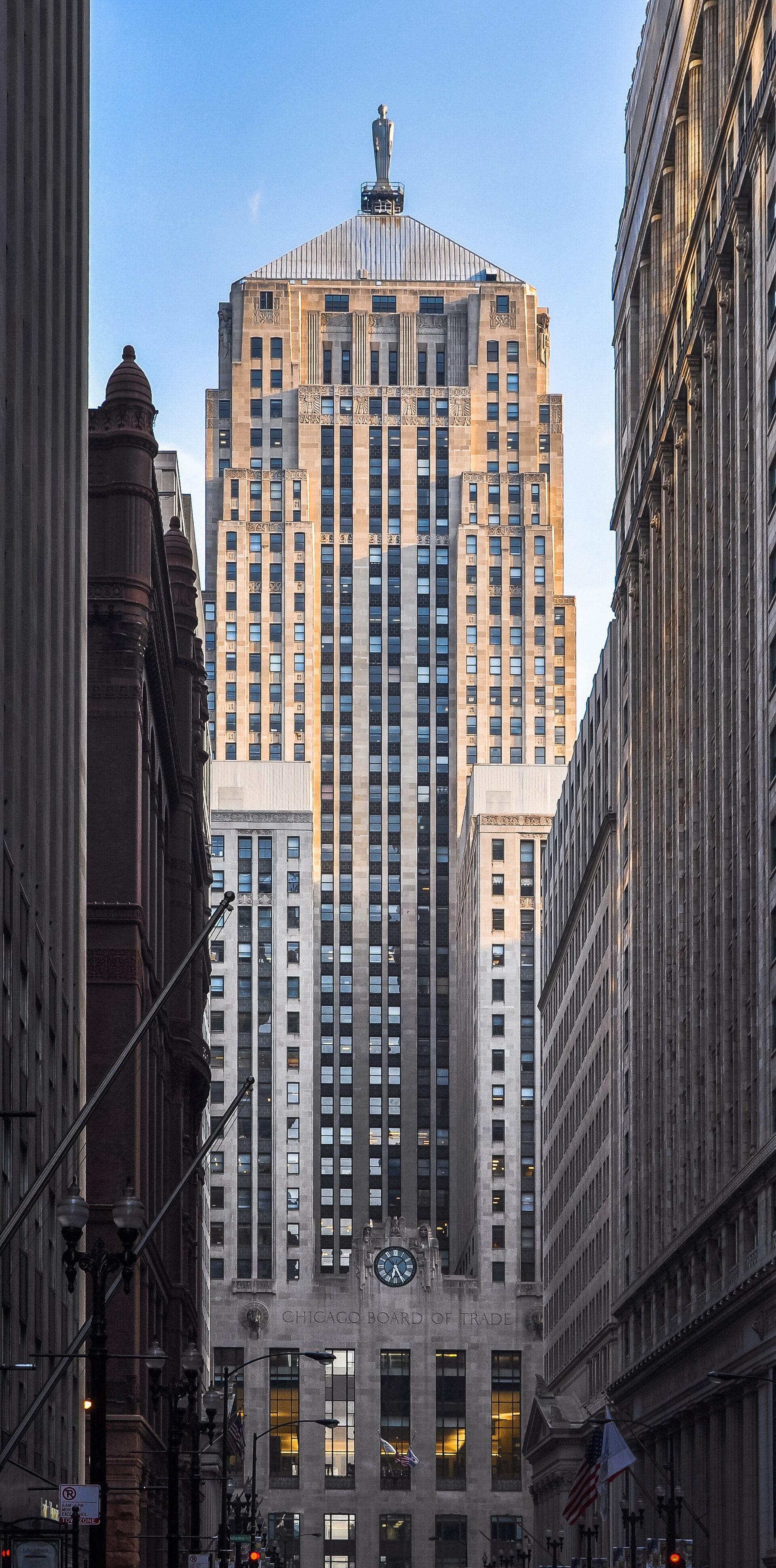
The Home Insurance Building Site sits in Chicago's Loop at the northeast corner of LaSalle Street and Adams Street. Multiple Chicago Transit Authority options serve this intersection. The LaSalle Blue Line station lies within short walking distance. Several bus routes traverse LaSalle and nearby streets. Metra commuter rail's LaSalle Street Station stands immediately adjacent. For drivers, paid parking garages operate throughout the Loop, though street parking remains limited and metered. The site proves highly walkable from numerous downtown hotels and attractions. Pedestrians should navigate standard urban traffic patterns when approaching the corner marker.
Checked 2026-08-26
Visitors should remain vigilant regarding typical downtown Chicago conditions. Heavy vehicular traffic flows along both LaSalle and Adams Streets, requiring careful crossing. The financial district location means weekday rush hours bring dense pedestrian crowds. Winter weather creates slippery sidewalk conditions and biting wind exposure at this exposed corner. No seating, shelter, or public facilities exist at the marker itself. Photography requires awareness of surrounding pedestrian and vehicle movement. The plaque's modest size and placement amid bustling urban activity can render it easy to overlook; precise address verification prevents confusion with neighboring commercial structures occupying the original building's footprint.
Checked 2026-08-26
Photography at the Home Insurance Building Site presents documentary rather than dramatic opportunities. The commemorative plaque permits close-up shots of historical text, though glare and weathering may affect legibility in images. Contextual photographs capturing the modern street corner contrast effectively with historical imagination of the original skyscraper. Wide-angle views encompass surrounding Loop architecture. Tripod use on narrow sidewalks may obstruct pedestrian traffic and should be exercised considerately. No restrictions on personal photography are known, though adjacent private property boundaries warrant respect. Early morning or late afternoon light reduces harsh shadows on the plaque's surface for clearer inscription capture.
Checked 2026-08-26
No. The building was demolished in 1931. Only a commemorative street-level plaque marks the site.
No. The site occupies public sidewalk space and requires no ticket.
Not recorded. Some commercial architecture walking tours may include brief stops here.
As an outdoor sidewalk site, no hours restrict access. Check the operator's own site for the travel date before relying on a schedule or fare.
The CTA LaSalle Blue Line station, multiple bus routes, and Metra's LaSalle Street Station all serve the immediate area.
The marker is modestly sized amid busy urban surroundings. Precise address verification at LaSalle and Adams Streets is advisable.
Loading the interactive map…
The interactive map could not be loaded.

Last updated:
Source: OpenStreetMap contributors, Wikidata ·