.jpg)
.jpg)
.jpg)
.jpg)
.jpg)
11 min walk
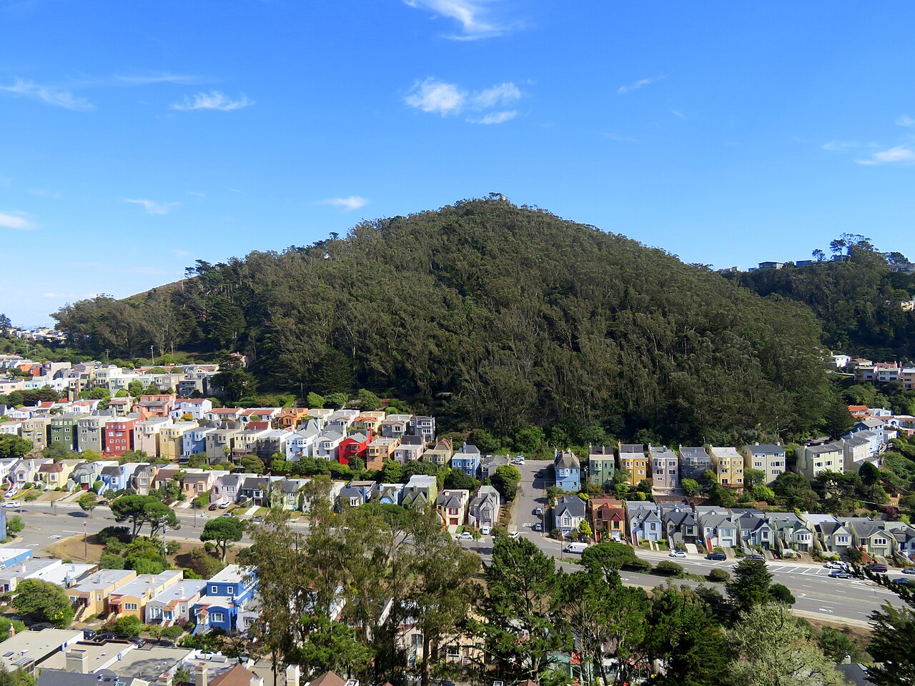
Mount Davidson
- Must see
- Viewpoint
Nature site · San Francisco
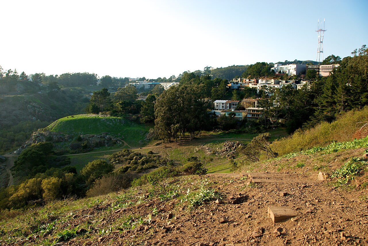
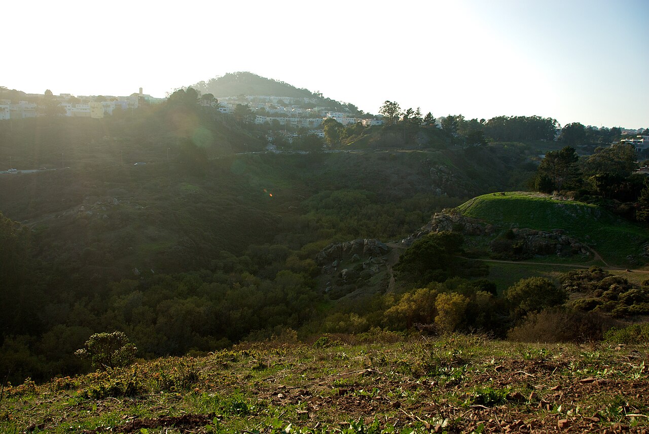
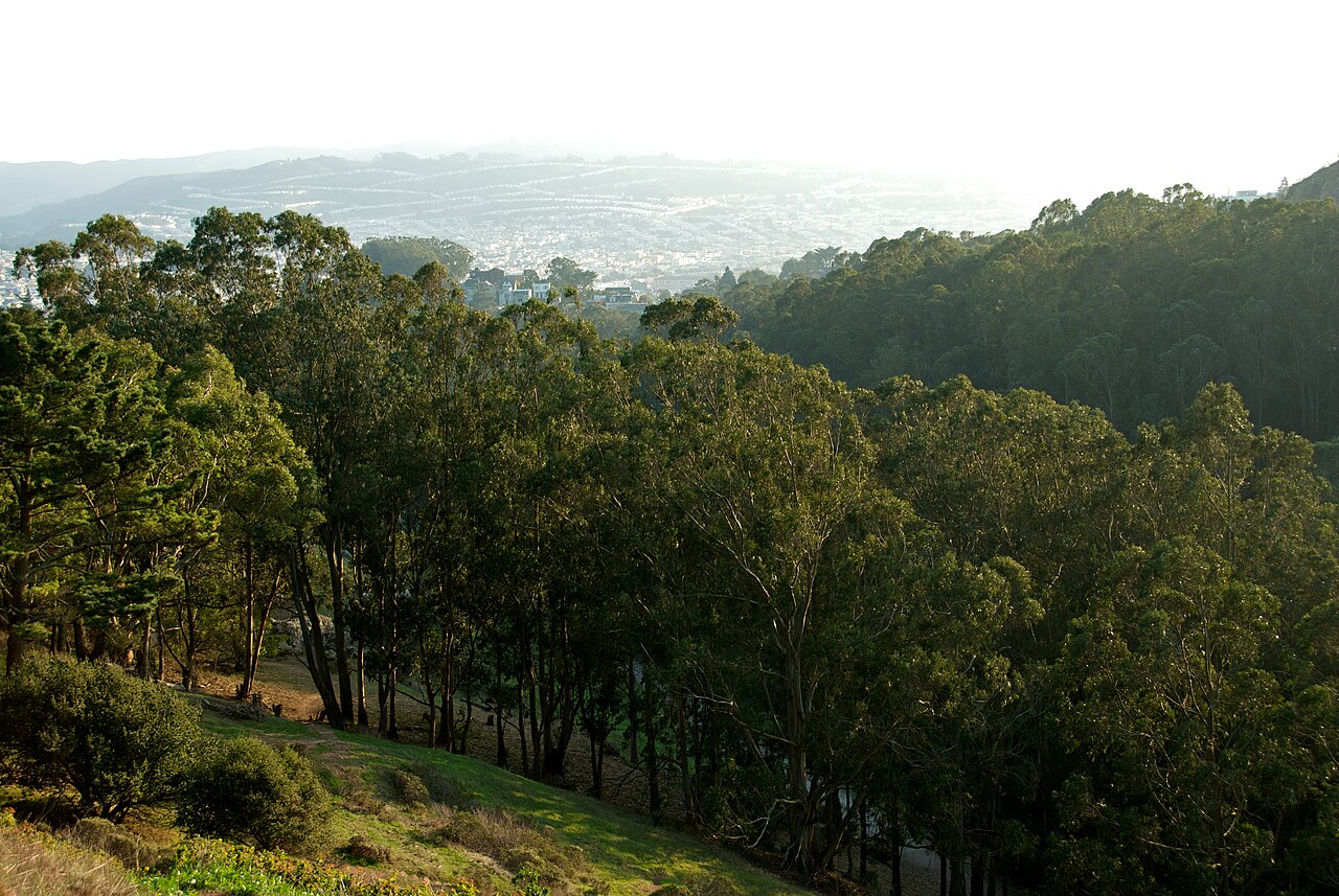
Glen Canyon Park preserves a rare natural canyon within San Francisco. Islais Creek runs through steep rocky slopes, grassland, coastal scrub, and riparian vegetation. The park combines a genuine hiking landscape with city recreation facilities, creating a useful contrast between wild-looking terrain and nearby neighborhoods. It is a strong choice for travelers who want nature without leaving the city. Glen Canyon Park is a public park in San Francisco, California, managed by the San Francisco Recreation and Park Department. It encompasses a distinctive urban canyon formed by Islais Creek, featuring steep rocky slopes and remnant native habitats uncommon in densely developed cities. The park preserves one of San Francisco's few remaining natural canyon landscapes, offering visitors a geological and ecological contrast to the surrounding urban environment. Its terrain includes grasslands, coastal scrub, and riparian vegetation along the creek corridor. The recreation center and sports fields accommodate children, though canyon trails with steep terrain require close supervision. Parental judgment should assess individual child capabilities against trail difficulty.
Checked 2026-08-26 · Source
Trails cross the canyon and connect natural areas with the Glen Canyon Recreation Center and sports fields on the flatter northern side. Native plant communities remain on the slopes, while Islais Creek forms a green corridor through the canyon floor. The result is a varied visit: you can walk through rugged terrain, observe vegetation, or combine the canyon with active recreation facilities. The park contains hiking trails traversing the canyon terrain, a recreation center with community facilities, and sports fields on its flatter northern portion. Native plant communities persist on the slopes, including species typical of the San Francisco peninsula's original ecology. Islais Creek runs through the canyon bottom, supporting riparian vegetation. The Glen Canyon Recreation Center provides indoor programming space. Visitors will find undeveloped natural areas alongside maintained recreational facilities, creating a varied landscape experience within the city limits.
Checked 2026-08-26 · Source
Plan for one to three hours. A casual trail walk can take sixty to ninety minutes, while slower exploration of the canyon, native habitat, recreation center, and sports fields takes longer. The compact landscape supports a flexible visit, but elevation changes add effort. Allow extra time after rain, when uneven ground and creek-side conditions may slow your route. Visitors typically allocate between one and three hours depending on intended activities. Casual walkers exploring the canyon trails may complete a visit in approximately sixty to ninety minutes. Those combining hiking with recreation center use or extended observation of native habitats might stay longer. The park's compact but vertically varied terrain allows flexible visit durations.
Checked 2026-08-26 · Source
Mild San Francisco weather makes the park suitable for outdoor visits through much of the year. Morning fog can lower temperatures and visibility, while afternoon light changes noticeably between the canyon floor and upper slopes. Vegetation and creek conditions vary with the season. Choose dry weather for easier walking, and allow for cooler, shaded conditions inside the canyon than in nearby streets.
Checked 2026-08-26 · Source
Walking through the public park and its natural canyon is free. There is no general admission ticket for the outdoor landscape. The recreation center, organized programs, sports activities, or reserved facilities may follow separate arrangements from the free park visit. Travelers planning only a hike can treat Glen Canyon Park as a no-admission outdoor stop within a San Francisco itinerary.
Checked 2026-08-26 · Source
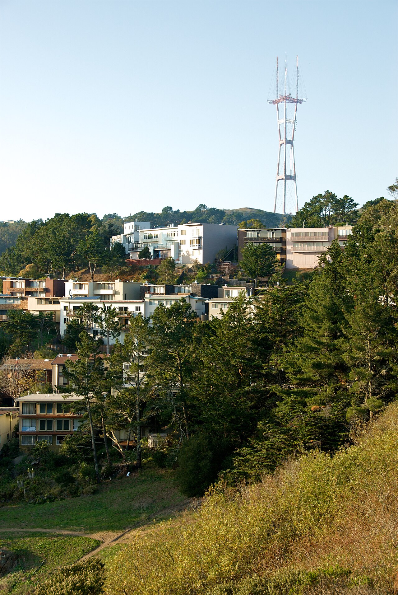
Glen Canyon Park lies in the Glen Park neighborhood. Muni bus routes serve nearby streets, followed by a walk to one of the park’s access points. Multiple entrances sit at different elevations, so the route you choose affects the amount of climbing. Street parking is available in adjacent residential areas. Cyclists can approach on city streets, while trail conditions determine where riding is practical.
Checked 2026-08-26 · Source
Steep slopes, uneven trails, and wet surfaces require careful footing. Poison oak may grow among the native vegetation, so remain on established paths and avoid brushing against plants. The canyon bottom can have weaker phone reception, and creek conditions change after rainfall. Wear suitable shoes, carry water, and remember that natural trails and recreation-center areas offer different surroundings and levels of activity.
Checked 2026-08-26 · Source
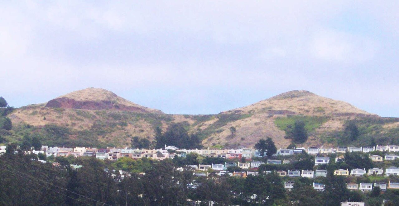
The canyon offers photographs that combine rocky slopes, native vegetation, Islais Creek, and nearby urban facilities. Morning and late-afternoon light create changing patterns of shade across the terrain. Seasonal creek flow can alter water images, while overcast weather softens contrast. Trails may be narrow, so place a tripod where it does not obstruct walkers. Keep distance from wildlife and protect plants while composing.
Checked 2026-08-26 · Source
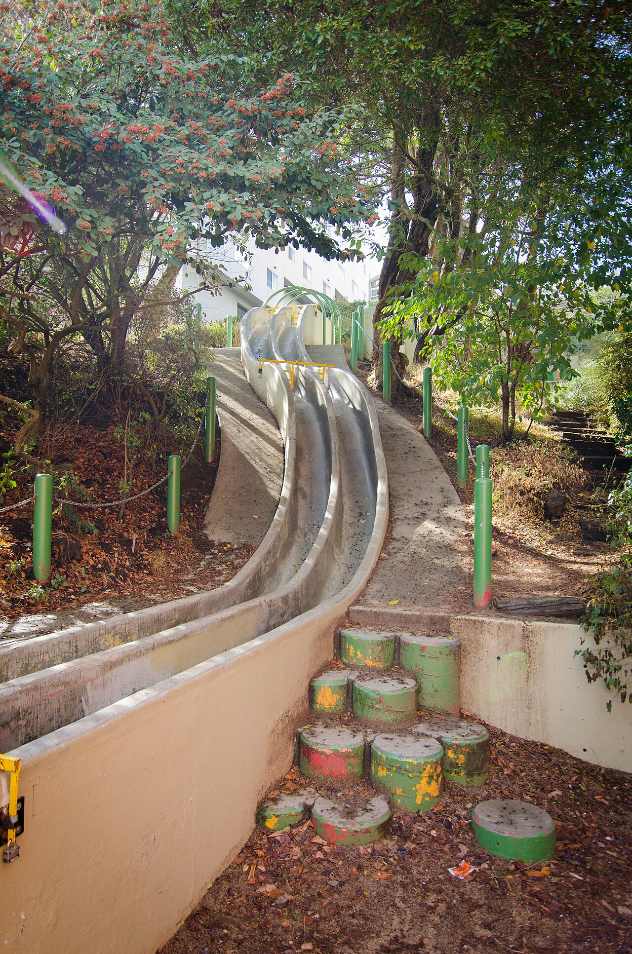
The recreation center and sports fields accommodate children, while the canyon trails have steep terrain and require close supervision.
The park contains canyon trails, Islais Creek, native vegetation, the Glen Canyon Recreation Center, and sports fields on its flatter northern side.
Islais Creek is described as a creek corridor through the canyon, not as a swimming facility. The visit is centered on walking and observing the landscape.
Allow one to three hours, depending on whether you take a short walk or explore the trails and recreation areas at a slower pace.
Yes. Walking through the outdoor park and natural canyon has no general admission charge.
Wear shoes suited to steep, uneven, and potentially slippery ground, and bring water for the canyon walk.
Loading the interactive map…
The interactive map could not be loaded.
Last updated:
Source: OpenStreetMap contributors, Wikidata ·