


.jpg)

11 min walk
Glen Canyon Park
- High
- Nature site
Language · 11 published
Viewpoint · San Francisco
Reviewed by Elena Voss · Roavina Travel Editor
This place is a Peak.
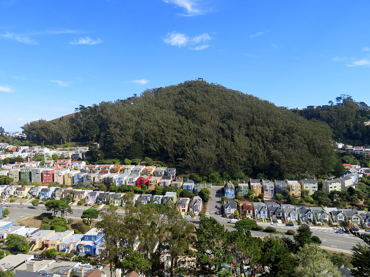
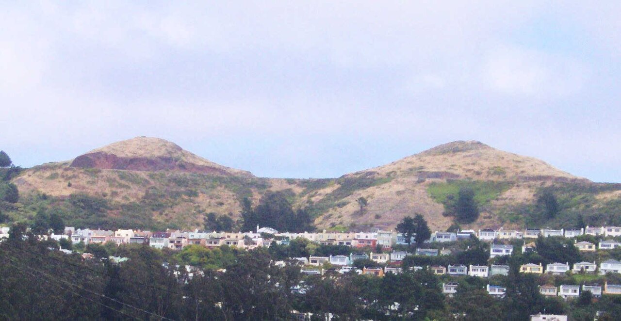
Mount Davidson is San Francisco’s highest natural point, rising above the city’s southern neighborhoods. Its summit combines natural hillside terrain, walking trails, and a large concrete cross that serves as a prominent landmark. The visit is primarily an outdoor climb and viewpoint experience, with vegetation and open ground replacing the buildings and crowds found in central San Francisco. Mount Davidson is the highest natural point in San Francisco, California. The hill rises prominently in the city's southern area and is known for its large summit cross, which serves as a visible landmark across the surrounding neighborhoods. The terrain consists of natural hillside with vegetation and trails. The site holds significance as both a geographic feature and a location with cultural and historical associations related to its cross monument. Visitors come for the elevated perspective over the city and the Bay Area. Mount Davidson is the highest natural point in San Francisco. Some sources may reference other elevations in the city, but Mount Davidson holds this distinction for natural terrain.
Checked 2026-08-26 · Source
Trails lead through vegetated slopes toward the summit cross and continue around the high ground. Open areas near the top provide views across San Francisco and the wider Bay Area when visibility is good. There are no visitor centers, commercial facilities, or enclosed attractions on the summit. Expect a natural hillside setting with the concrete cross as its central landmark. The summit features a prominent concrete cross that stands as the most recognizable structure on Mount Davidson. Surrounding the cross are natural hillside areas with vegetation typical of the San Francisco coastal environment. Trails lead up to and around the summit. The top provides open areas where visitors can observe panoramic views in multiple directions. There are no buildings, visitor centers, or commercial facilities on the summit itself. The experience is primarily outdoors and nature-focused, with the cross as the central man-made element.
Checked 2026-08-26 · Source
A short stop near the summit can take thirty minutes, while a hike from lower neighborhoods and exploration of the surrounding trails can fill two hours. Allow extra time for photographs, pauses on the climb, and views from the top. The route length and effort depend on your chosen approach, fitness, and the weather on the day. A visit to Mount Davidson typically requires between thirty minutes and two hours depending on approach and interest level. Those driving to near the summit may spend only a brief period at the top viewing the cross and taking in vistas. Hikers approaching from lower elevations or exploring trail networks will require additional time. The duration varies significantly with fitness level, weather conditions, and whether visitors choose to linger for photography or sunset observation.
Checked 2026-08-26 · Source
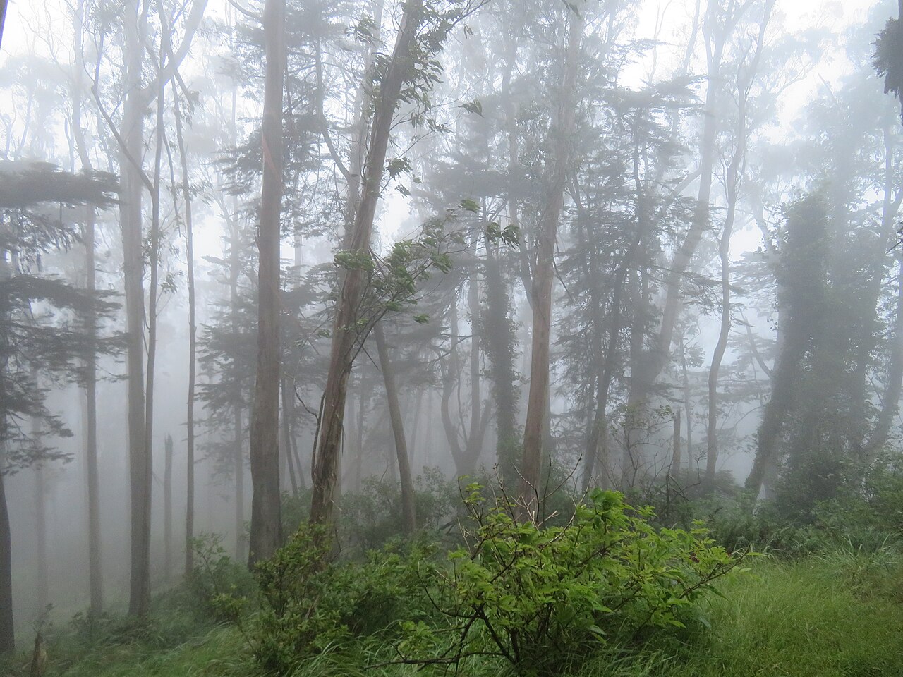
Visit in daylight for the clearest trail navigation and safest appreciation of the summit views. Fog can cover San Francisco’s hilltops, especially in summer, and may hide the Bay Area outlook. Morning often brings softer light and cleaner visibility, while autumn commonly offers clearer conditions. Bring a warm layer because wind exposure is noticeable at elevation.
Checked 2026-08-26 · Source
Mount Davidson and the summit cross are free to visit. The site has no entrance gate or ticketing point, and the outdoor trails do not require admission. Visitors should plan for a self-directed walk rather than a staffed attraction. Any expense comes from reaching the southern neighborhoods, including transport or roadside parking where applicable.
Checked 2026-08-26 · Source
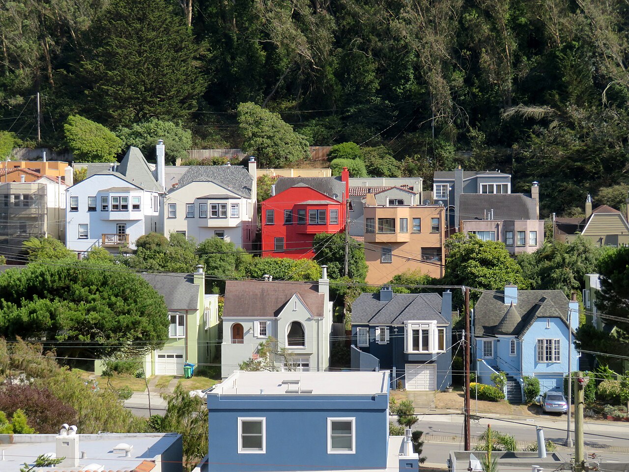
You can reach Mount Davidson on foot or by driving along streets leading toward the summit area. Public transit requires a walk from nearby bus stops, and lower approaches include substantial uphill climbing. Roadside parking is available near the upper area. Wear shoes suited to uneven, potentially slippery trails, and allow more time if you begin below the summit.
Checked 2026-08-26 · Source
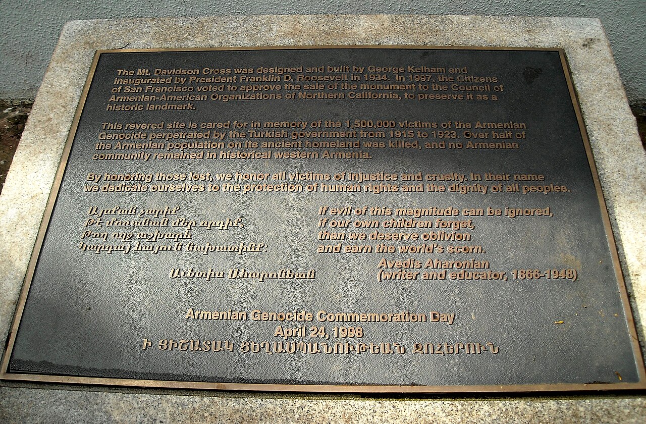
Trails and summit ground are uneven, and exposed edges lack continuous guardrails. Wind can change quickly, while fog may reduce visibility without warning. The hill has no installed lighting, so low-light visits make route-finding harder. Stay on established paths, carry water, and take care on damp ground. The cross is a monument and visual landmark, not a climbable observation structure.
Checked 2026-08-26 · Source

The summit cross makes a strong subject against clear skies, cloud formations, or the San Francisco skyline. Wide views open toward the city and Bay Area when fog is absent. Morning and late-afternoon light give the hillside and monument more definition than harsh midday sun. Since there is no formal viewing platform, choose stable ground and keep equipment clear of the trail.
Checked 2026-08-26 · Source
It is San Francisco’s highest natural point and is known for its large summit cross, trails, vegetation, and elevated city views.
No. The cross is a monument and visual landmark rather than an observation tower with visitor access.
No restroom facilities are present at the summit or along the access routes described for Mount Davidson.
Plan for thirty minutes for a brief summit visit and up to two hours for hiking and exploring the trails.
Yes. The summit, trails, and cross are free outdoor attractions with no entrance ticket.
Yes. Open areas near the summit provide elevated views across San Francisco and the Bay Area when fog does not obscure them.
Loading the interactive map…
The interactive map could not be loaded.

Last updated:
Source: OpenStreetMap contributors, Wikidata ·