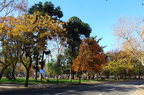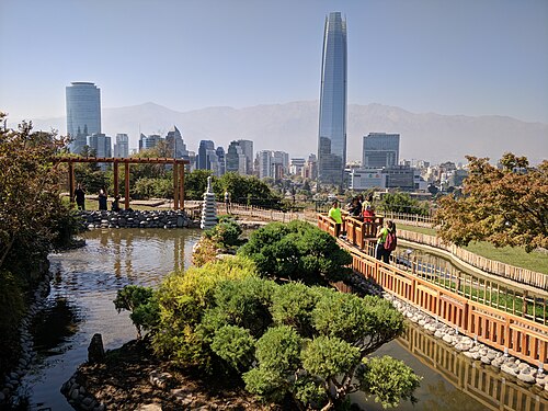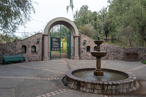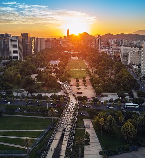
Bicentennial Park (Vitacura)
Parque Bicentenario
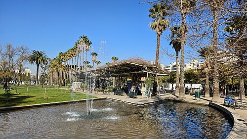
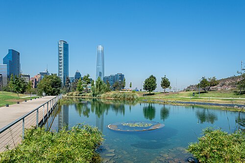
Parque Bicentenario de Vitacura is a major landscaped public park situated along the Mapocho River in the Vitacura commune of eastern Santiago, Chile.
- Must see
- Nature site
- Santiago
Language · 11 published
Country guide
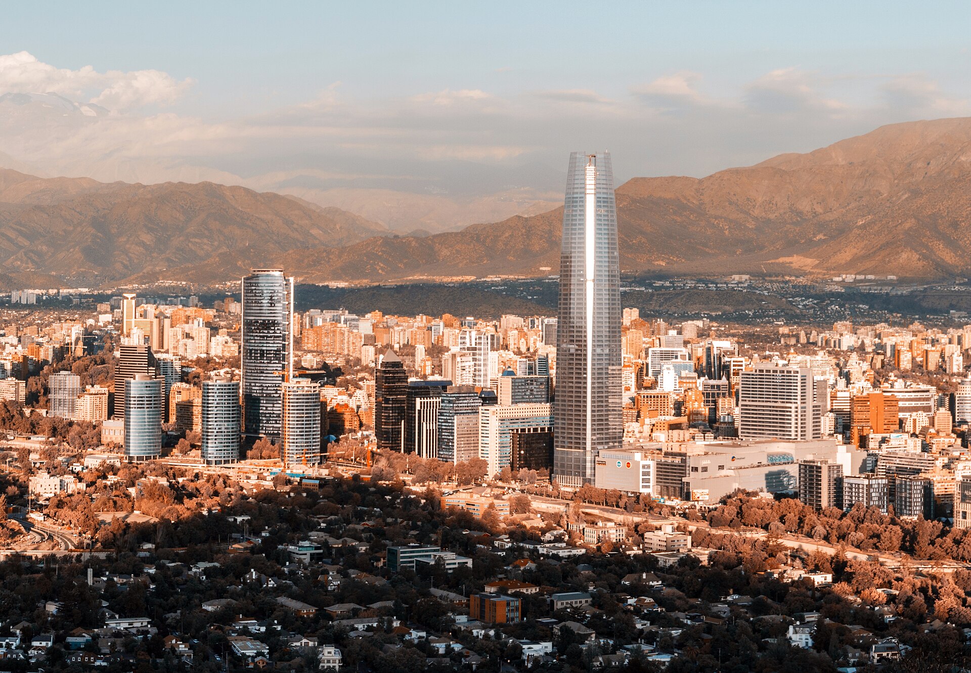
Chile is a narrow strip between the Andes and the Pacific, the southernmost country in the world and the closest to Antarctica. Its 756,102 km² are arranged almost entirely along one north–south line, with Peru and Bolivia at the top and the Drake Passage at the bottom, so nearly every journey here is a journey up or down. The 2024 census counted 18.5 million people. Santiago is the capital and largest city. Chile also administers Pacific islands far offshore, among them Juan Fernández and Easter Island, which means two places under the same flag can sit an ocean apart.
Reviewed by Elena Voss · Roavina Travel Editor
Every city catalogued in this country so far, ranked by how much there is to see.
Photograph · Omnespsx (D•ES) · CC BY-SA 4.0
Ranked by importance — sitelinks, pageviews and heritage status, not editor preference.
13 places match
Category
Typical visit duration
Interests
Parque Bicentenario
Parque Bicentenario de Vitacura is a major landscaped public park situated along the Mapocho River in the Vitacura commune of eastern Santiago, Chile.
Parque Quinta Normal
Parque Quinta Normal is a historic public park in Santiago, Chile. Established in the nineteenth century, it represents one of the city's oldest green spaces and has evolved into a significant cultural destination.
Parque Forestal
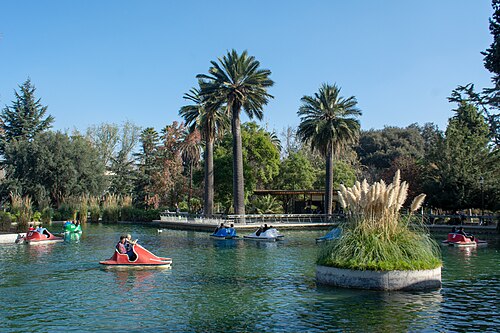
Forestal Park, or Parque Forestal, is a linear public park beside the Mapocho River in central Santiago.
The Japanese Garden of Santiago, Jardín Japonés de Santiago, is a restored terraced garden within Metropolitan Park on Cerro San Cristóbal.
Mapulemu Botanical Garden, known locally as Jardín Botánico Mapulemu, is a botanical garden within Santiago’s Metropolitan Park on Cerro San Cristóbal.
Araucano Park, or Parque Araucano, is a large urban green space in Las Condes, eastern Santiago. It gives visitors a broad recreational landscape within one of the capital’s most developed districts.
Inés de Suárez Park is a substantial neighbourhood park in Providencia, Santiago. Named after the Spanish conquistadora Inés de Suárez, it is primarily a local green space woven into the daily life of a densely populated district.
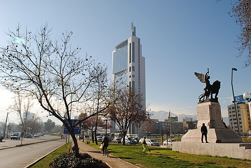
Constitution Square, or Plaza de la Constitución, is a ceremonial public square in central Santiago. It forms the formal forecourt of Palacio de La Moneda, Chile’s presidential palace.
Baquedano Square, also known locally as Plaza Baquedano, is a major public square in Santiago, Chile. It stands at an important urban junction between the city centre, Providencia, Bellavista, and Parque Bustamante.
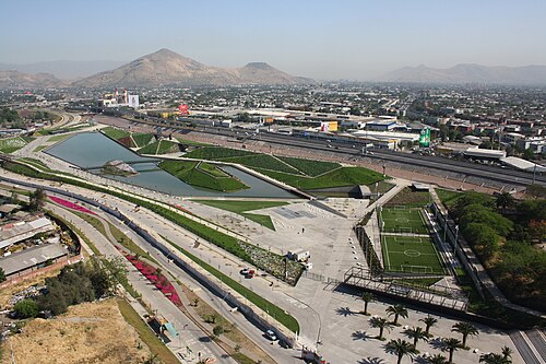
Family Park, also known as Parque de la Familia, is a large public park on the west side of the Mapocho River in Santiago, Chile.
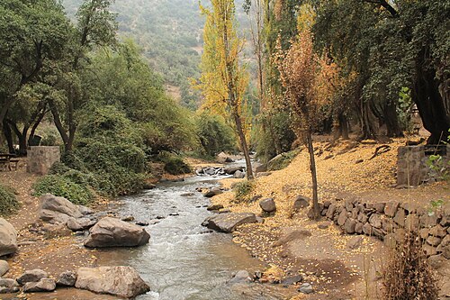
El Arrayan Nature Sanctuary, locally known as Santuario de la Naturaleza El Arrayán, is a protected foothill setting on the northeastern metropolitan edge of Santiago, Chile.
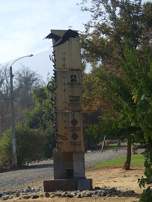
Parque Natural Aguas de Ramón
Parque Natural Aguas de Ramón is a protected natural area on Santiago’s eastern foothills. The park offers a reachable mountain escape within the metropolitan region, with trails entering Mediterranean sclerophyll forest and following creek drainages toward the Andean piedmont.
Parque Natural Quebrada de Macul
Parque Natural Quebrada de Macul is a natural park located in the eastern foothills of Santiago, Chile.
Source: OpenStreetMap contributors, Wikidata ·
A 10–16 day visit should pair Santiago with one major region, such as the Atacama, the Lake District or a Patagonian gateway. Chile’s length makes combining north and far south in a short itinerary transfer-heavy.
Chile’s consular service publishes the visa rules used for entry. Nationality, travel purpose and length of stay determine the requirement, and any application should be made through the official consular channel.
Santiago is the central international and domestic hub. Flights connect the desert, lake and Patagonian gateways, while long-distance buses cover mainland corridors and remote parks require a confirmed final transfer.
October through April is the broad operating window for many central and southern journeys. Atacama conditions, central-valley heat and Patagonian wind are distinct, so the least flexible regional leg should set the calendar.
Chile uses the Chilean peso (CLP). Current withdrawal costs and merchant acceptance are Not recorded; review the amount in pesos and any conversion offered before completing payment.
Chile uses 133 for police, 131 for ambulance and 132 for fire. Power is 220 V with Type C and L plugs, while nationwide tap-water guidance remains Not recorded.