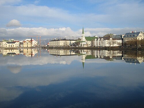
Tjornin Pond
Tjörnin
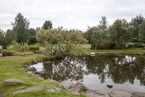
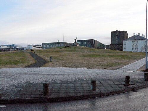
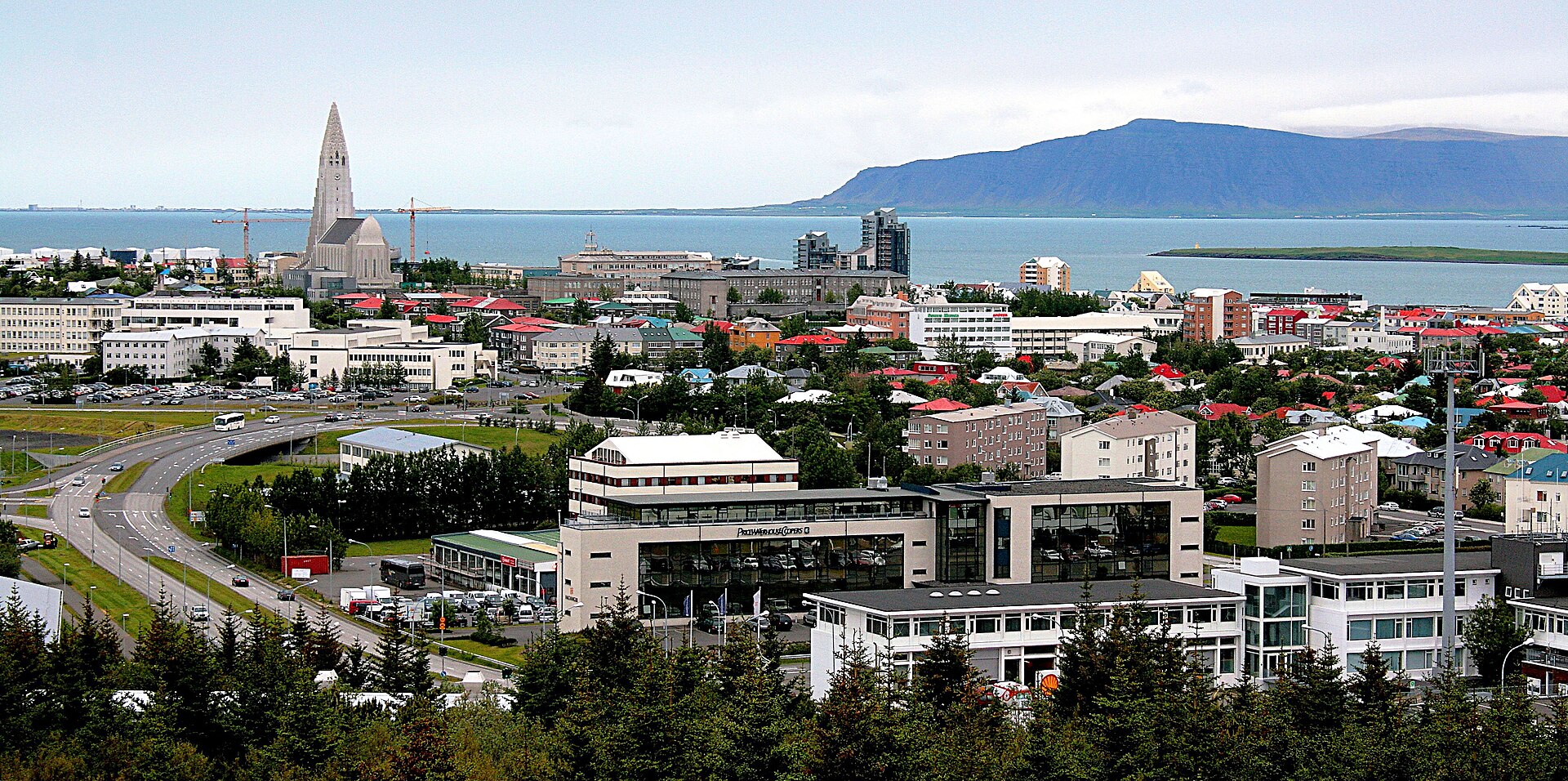
Tjörnin is a prominent pond in central Reykjavík, the capital of Iceland. The local name Tjörnin translates to the pond or the lake in Icelandic.
- Must see
- Nature site
- Reykjavik
Language · 11 published
Country guide
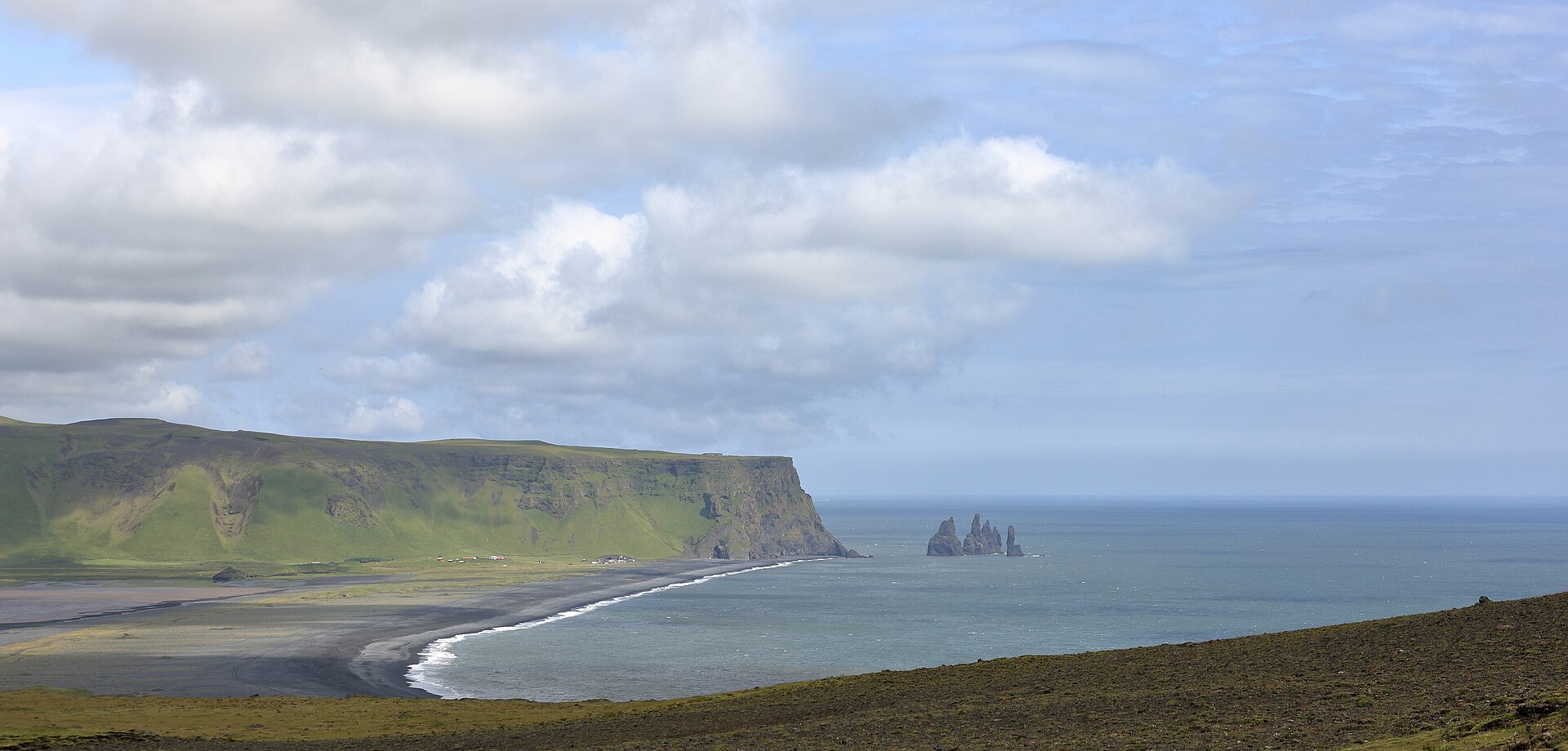
Iceland holds roughly 395,000 residents, about 35% of them in Reykjavik, which makes it the most sparsely populated country in Europe. It lies on the Mid-Atlantic Ridge, on the rift between two tectonic plates, and that fact is the itinerary: geysers, frequent volcanic eruptions, and an interior of volcanic plateau, sand and lava fields, mountains and glaciers that no one crosses casually. Almost everything a visitor reaches sits on the coastal lowlands, threaded by glacial rivers running to the sea. The Gulf Stream keeps the climate temperate at a latitude just south of the Arctic Circle, which in practice means chilly summers rather than mild winters.
Reviewed by Elena Voss · Roavina Travel Editor
Every city catalogued in this country so far, ranked by how much there is to see.
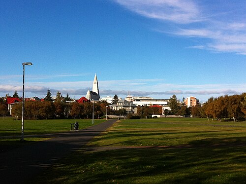
Photograph · Hedwig Storch · CC BY-SA 3.0
Ranked by importance — sitelinks, pageviews and heritage status, not editor preference.
11 places match
Category
Typical visit duration
Interests
Tjörnin
Tjörnin is a prominent pond in central Reykjavík, the capital of Iceland. The local name Tjörnin translates to the pond or the lake in Icelandic.
Klambratún is a public green space in central Reykjavík, used for everyday recreation, walking and time outdoors.
Ylströndin í Nauthólsvík
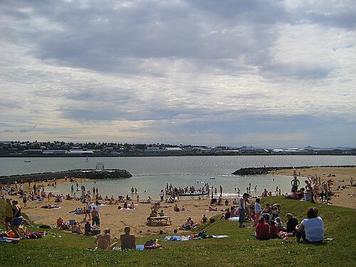
Nauthólsvík Geothermal Beach is a purpose-built bathing beach on Reykjavík’s coast. Its lagoon uses geothermal heating to make seawater suitable for beach-style recreation despite Iceland’s cool climate, creating a distinctive combination of open coast and warm water.
Fjölskyldu- og húsdýragarðurinn
Reykjavik Family Park and Zoo, known locally as Fjölskyldu- og húsdýragarðurinn, is a family-oriented attraction in Iceland's capital. The facility combines recreational parkland with animal exhibits featuring domestic and farm animals typical to Icelandic rural life.
Grasagarður Reykjavíkur
Grasagarður Reykjavíkur, the Reykjavik Botanical Garden, is a municipal botanical garden in the Laugardalur valley of Iceland’s capital. It is both a calm green space and a living collection designed for education, research, and recreation.
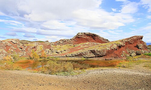
Rauðhólar is a cluster of distinctive red pseudocraters located on the southeastern outskirts of Reykjavík, Iceland.
Eiði Coastal Path is an open shoreline walking area in the Reykjavík region. The route brings visitors close to North Atlantic water, broad skies, and the rugged coastal character associated with Iceland.
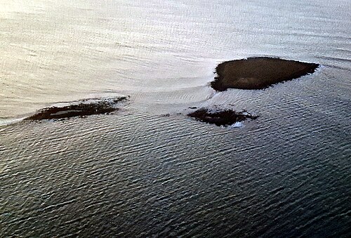
Akurey is a small island located in Kollafjörður fjord near Reykjavik, Iceland. Known locally as Akurey, this uninhabited island serves as an important seabird habitat, particularly for puffins during breeding season.
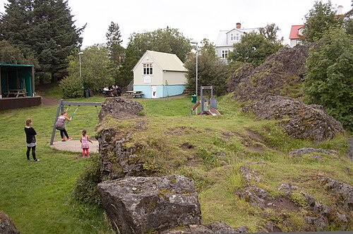
Arnarhóll is a municipal outdoor recreation area above Kvosin and Lækjargata in central Reykjavík. Reykjavík City describes the hill as an old farm site that is now an open area with walking paths and benches.
Víðistaðatún is an outdoor sculpture park and public green space in the Reykjavik area. Its appeal comes from encountering art in an open landscape rather than inside a museum.
Hellisgerði is a public park situated in the Hafnarfjörður area near Reykjavík, Iceland. The park is known for its association with local folklore, particularly beliefs surrounding elves and hidden folk in Icelandic tradition.
Source: OpenStreetMap contributors, Wikidata ·
Seven to ten days supports Reykjavík, the Golden Circle and south coast; the full Ring Road deserves at least a week of driving and preferably longer. The Westfjords or highlands should be separate additions because weather and road class can transform journey times.
Iceland is in Schengen, but visa need still depends on nationality and travel circumstances. Use Iceland’s official government guidance to identify where to apply and which documents are required; verify the rule before routing through another Schengen state.
Keflavík Airport is outside Reykjavík and is connected by coach. Scheduled buses reach selected towns, but many natural sites require a tour or rental car; check road.is and weather information before departure, and use an appropriate vehicle only where F-road access permits.
Summer offers long daylight and broader road access, while winter provides dark skies but shorter days and more disruption risk. Shoulder-season plans need the same daily road checks: a forecast for Reykjavík cannot establish conditions on a pass or exposed coast.
Icelandic króna is the currency, and card payment is common even for small purchases. Keep an alternative payment method for unattended or remote services, verify fuel-station card requirements and read the ISK total before accepting conversion.
The emergency number is 112 and sockets are Type C and F at 230 V. Mains tap water is recorded as safe; at remote facilities follow posted notices, and download road and weather information before entering areas with weak mobile coverage.