

7 min walk
理正院
- Notable
- Place of worship
Language · 11 published
Historic monument · Kyoto
哲学の道
Reviewed by Elena Voss · Roavina Travel Editor
| Monday | 00:00 – 23:59 |
|---|---|
| Tuesday | 00:00 – 23:59 |
| Wednesday | 00:00 – 23:59 |
| Thursday | 00:00 – 23:59 |
| Friday | 00:00 – 23:59 |
| Saturday | 00:00 – 23:59 |
| Sunday | 00:00 – 23:59 |
Checked 2026-08-31 · Source
Read from the OpenStreetMap access tags; anything not listed has no tag recorded.
Set the group type to family in the planner and the day window contracts to about three quarters of a solo day.
This place is a Attraction. It was established in 1890.
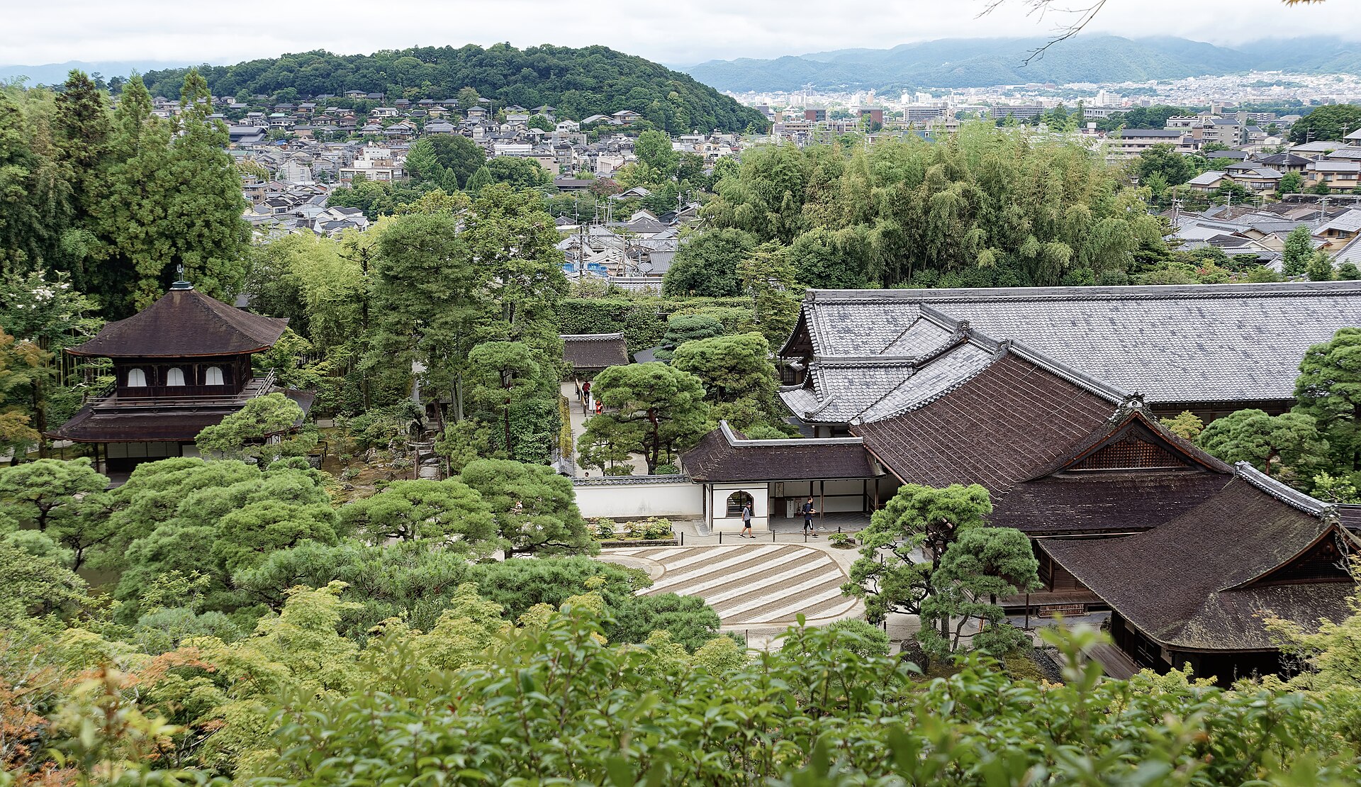
Philosopher's Path is a pedestrian walkway in Kyoto, Japan, following a canal lined with cherry trees. The route connects Ginkaku-ji (Silver Pavilion) with Nanzen-ji temple precincts. It takes its name from philosopher Nishida Kitaro, who reputedly walked this route for meditation. The path runs approximately two kilometers through the Higashiyama district, passing through a residential neighborhood with temples, shrines, and small shops alongside the canal. It represents a significant cultural landscape within Kyoto's broader temple and garden heritage. Philosopher's Path also earns time in a kyoto itinerary because Frozen visitor rank established independently of local database availability; current visitor relevance was verified on 2026-08-28 and the exact identity was reconciled without a proxy or lower-value filler. Its value becomes clearer when the stop is compared with the surrounding streets and the other ranked places nearby.
Checked 2026-08-31 · Source
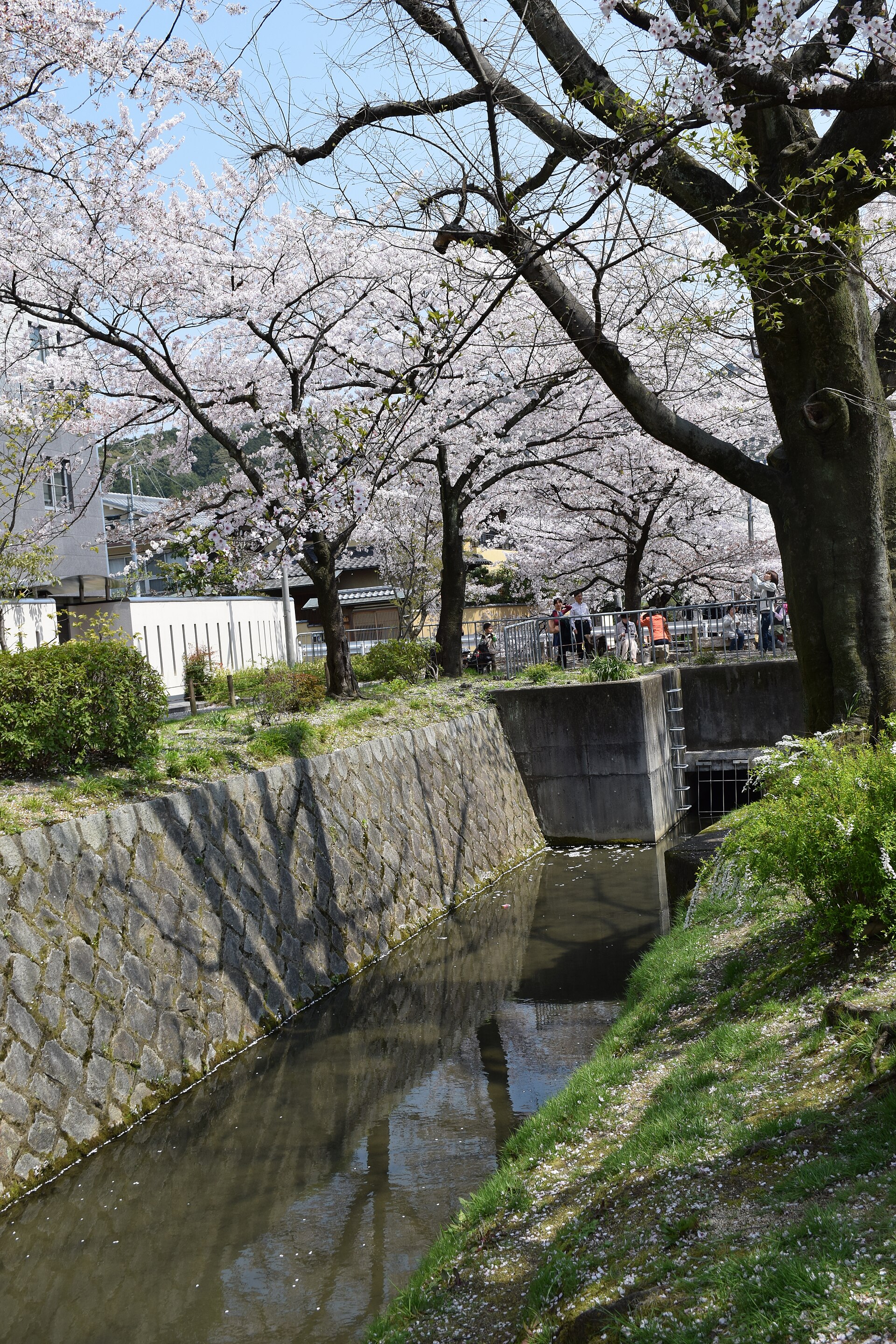
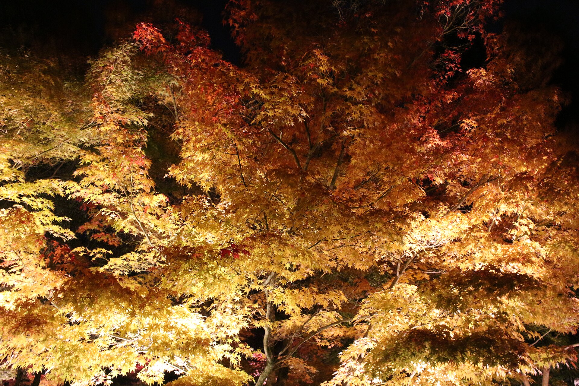
The path itself follows the Lake Biwa Canal, with stone walkways alongside the water channel. Cherry trees line substantial portions of the route. Notable temples and sub-temples sit adjacent to or near the path, including Honen-in and Eikan-do. Small cafes, craft shops, and residences occupy the surrounding streets. Stone bridges cross the canal at intervals. The environment combines engineered water infrastructure with planted vegetation and traditional architecture. Seasonal changes affect the visual character considerably, particularly cherry blossom and autumn foliage periods.
Checked 2026-08-31 · Source
Walking the full length of Philosopher's Path without extended stops typically requires thirty to fifty minutes at a moderate pace. Visitors commonly spend two to three hours when incorporating temple visits, photography, and brief rests. The experience duration varies substantially by individual purpose. Those using the path as a connector between Ginkaku-ji and Nanzen-ji may move quickly, while visitors seeking contemplative walking or detailed observation of adjacent sites extend their time considerably. Morning and evening walks offer different atmospheric conditions.
Checked 2026-08-31 · Source
The public canal-side path is open 24 hours daily. Maintenance, flood precautions and neighbourhood works can temporarily close short sections. The path functions as a public thoroughfare without controlled access points, suggesting continuous availability. Seasonal considerations significantly influence visitor experience. Cherry blossom season in late March to early April brings peak visitation and dense crowds. Early morning hours generally offer reduced congestion regardless of season. Summer presents humid conditions with vegetation in full leaf. Autumn foliage period attracts substantial visitors. Winter provides sparse visitation with bare trees and possible frost along the canal.
Checked 2026-08-31 · Source
Walking the path is free; temples and gardens along it charge separately. Individual temples and attractions adjacent to the path may maintain separate admission fees. Visitors should anticipate potential charges at Ginkaku-ji, Eikan-do, and other religious institutions accessed from the route. No consolidated ticketing system for the path and its associated attractions has been documented. Cash remains advisable for incidental purchases at small establishments along the route, as electronic payment acceptance varies.
Checked 2026-08-31 · Source
Kyoto City Bus stops Ginkakuji-michi at the north end and Nanzenji-Eikando-michi near the south; no rail station lies directly on the path. The path's endpoints connect to established temple complexes with known transport access. Ginkaku-ji serves as the northern terminus, reachable by city bus from Kyoto Station and other central locations. Nanzen-ji marks the southern end, accessible via bus or a walk from Keage Station on the Tozai subway line. Intermediate access points exist through residential streets. Signage in Japanese and English assists navigation. The route's linear nature permits one-directional walking with alternative return transport. Cycling is possible on adjacent roads though the path itself prioritizes pedestrians.
Checked 2026-08-31 · Source
Much of the canal route is level, but gravel, narrow bridges, curb steps and missing edge protection make it only partly accessible; parallel streets provide alternatives. The stone surface becomes slippery when wet, requiring appropriate footwear. Narrow passages and bridge crossings create congestion points during peak visitation. The canal lacks protective barriers throughout much of its length, presenting fall risk particularly for children. Residential areas adjoining the path require noise consideration and respectful behavior. Seasonal insect activity affects comfort. Limited shelter exists along the route during precipitation. Some adjacent establishments maintain irregular operating schedules. Photography of private residences demands discretion. Crowding during cherry blossom season significantly impedes movement and requires patience.
Checked 2026-08-31 · Source
The canal reflections and tree-lined perspectives offer compositional opportunities, though overhead wires and modern infrastructure intrude in places. Morning light provides favorable illumination along east-west oriented sections. Cherry blossom season presents iconic imagery with accompanying crowd challenges. Autumn foliage creates color contrasts with stone and water. Tripod use in congested sections obstructs passage and generates friction with other visitors. Temple grounds adjacent to the path may restrict photography or require separate permissions. Overcast conditions reduce harsh shadows in the narrow corridor. Early arrival maximizes unoccupied frame opportunities.
Checked 2026-08-31 · Source
Yes.
No regular hours apply.
No.
The canal walk is roughly two kilometres.
Usually late March to early April.
Ginkaku-ji.
Loading the interactive map…
The interactive map could not be loaded.
Last updated:
Source: OpenStreetMap contributors, Wikidata ·