


47 min walk
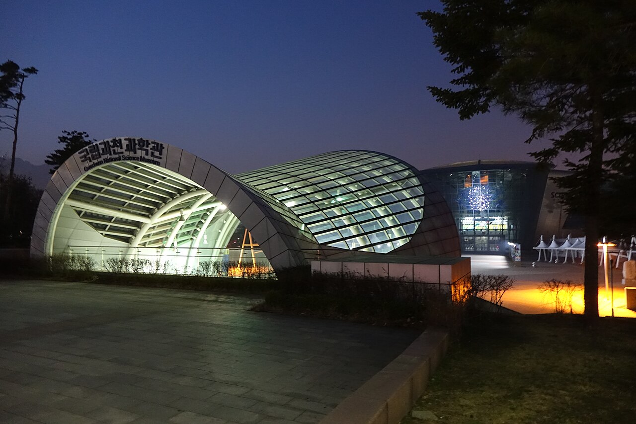
Gwacheon National Science Museum
- High
- Museum
Language · 11 published
Viewpoint · Seoul
관악산
Reviewed by Elena Voss · Roavina Travel Editor
This place is a Peak.
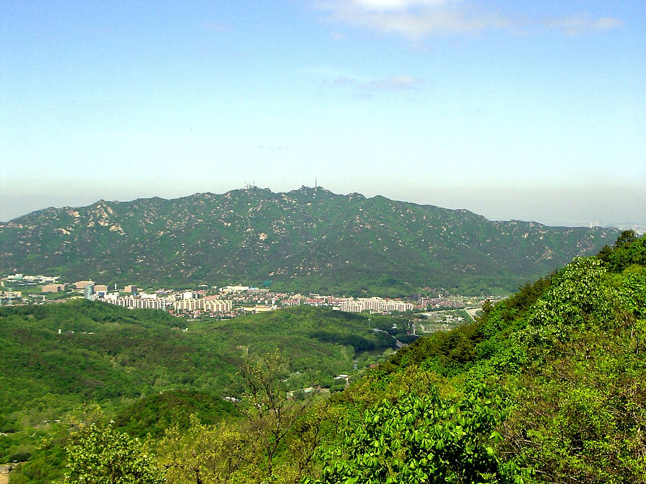
Gwanaksan is a mountain in southern Seoul, South Korea, known locally as 관악산. It rises within the capital and forms part of the green landscape visible across the city. The mountain is a recreational destination for visitors who want a substantial outdoor experience while remaining inside the metropolitan area. Its forested slopes, rocky terrain and elevated skyline views make it a natural contrast to Seoul’s dense streets and buildings. Gwanaksan is a mountain in southern Seoul, South Korea, with the local name 관악산. It rises within the urban boundaries of the capital and forms part of the natural landscape visible from many parts of the city. The peak serves as a recreational destination for residents and visitors seeking elevation gain without leaving the metropolitan area. Its presence on OpenStreetMap as node/442878166 confirms its recognition as a significant geographic point. The mountain belongs to the broader ridge system that shapes Seoul's southern skyline.
Checked 2026-08-26 · Source
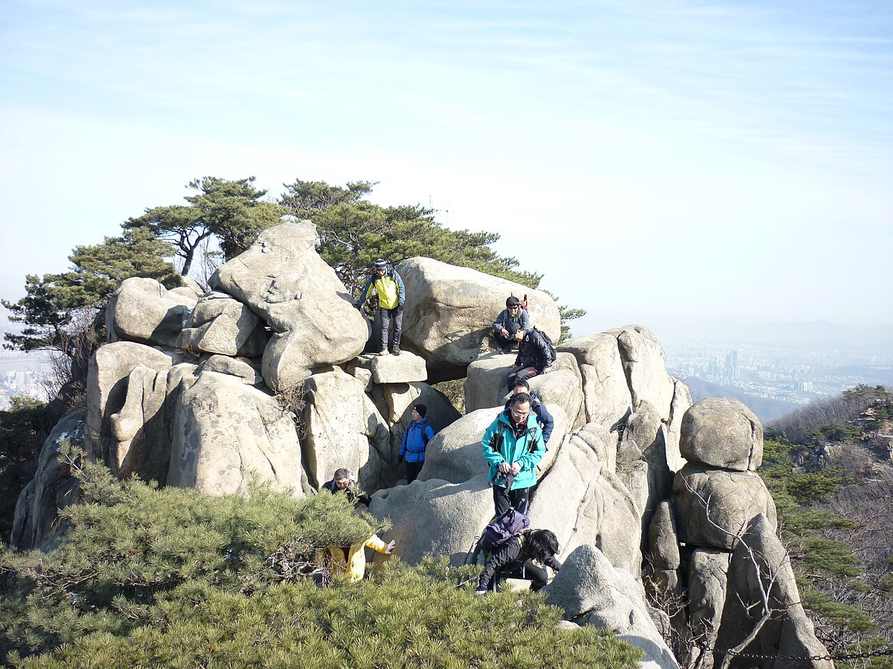
Gwanaksan offers a natural mountain setting rather than a developed attraction complex. Hikers move through forested slopes, rocky outcrops and trail networks leading toward higher ground. The summit area gives broad views across Seoul’s urban sprawl, while the wooded sections provide shade, vegetation and a quieter atmosphere than the surrounding city. Religious structures may be encountered on approaches, reflecting the presence of Buddhist and shamanic sites on Korean mountains. The terrain of Gwanaksan consists of forested slopes, rocky outcrops, and trail networks that lead toward the summit. Hikers will encounter natural vegetation typical of the Korean peninsula's temperate zone. Religious structures may appear along approaches, as mountains in Korea frequently host Buddhist or shamanic sites. The summit area provides views across Seoul's urban sprawl.
Checked 2026-08-26 · Source
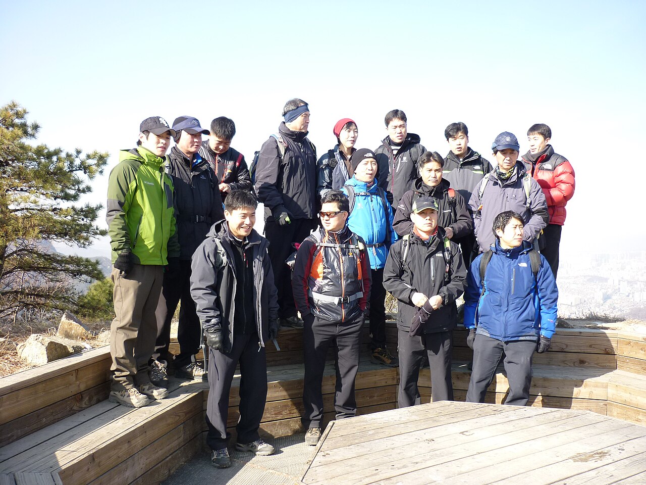
The time needed depends on the trailhead, route and your walking pace. A complete outing commonly takes several hours because the mountain combines ascent, uneven ground and a return journey. Start with enough daylight for the route you choose, especially when forest sections make the surroundings feel darker later in the day. Build a comfortable margin for rests, photographs and changing weather rather than treating the hike as a quick urban stop.
Checked 2026-08-26 · Source
Each season gives Gwanaksan a different character. Spring brings fresh foliage, summer brings dense greenery and humidity, autumn adds changing colours, and winter can bring ice or snow at higher elevations. Morning is a practical time to begin: temperatures are often more comfortable, daylight is available for the descent, and the outing can fit around an evening in Seoul. Weather and daylight should guide the final route choice on the day.
Checked 2026-08-26 · Source
Gwanaksan is a natural mountain within Seoul’s public landscape, so the hiking experience is distinct from a ticketed museum or managed indoor attraction. There is no ordinary exhibition admission to arrange for the mountain itself. Plan instead for the practical needs of a hike: transport to your chosen approach, drinking water, food and suitable clothing. Separate rules or charges may apply at individual religious or private facilities encountered along the way.
Checked 2026-08-26 · Source
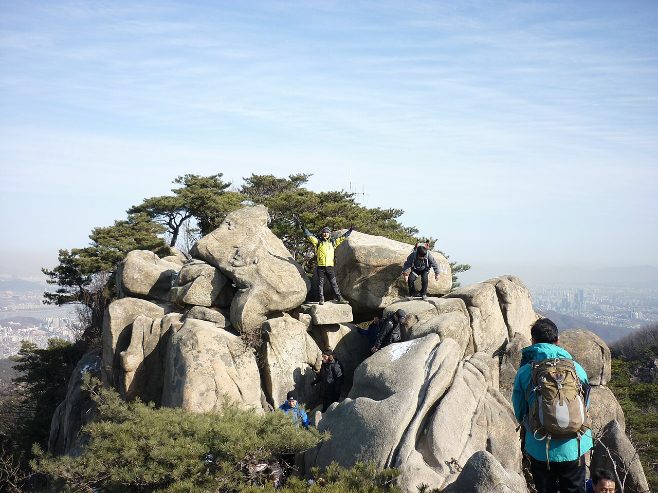
Gwanaksan lies in southern Seoul and can be incorporated into the city’s public-transport network. Approaches include neighbourhoods around Seoul National University and other districts at the mountain’s base. Choose the trailhead before setting out, because the starting point determines the walking route and the time needed. Navigation applications are useful for the final approach. Taxis can reach surrounding neighbourhoods, while private-car parking conditions depend on the specific access area.
Checked 2026-08-26 · Source
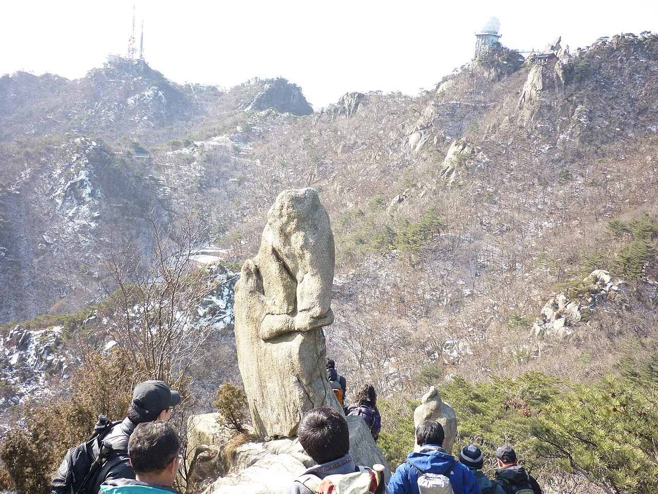
Expect uneven ground, exposed roots, slippery rocks and changing conditions on the slopes. Summer heat, humidity and thunderstorms can make an exposed route tiring, while shaded winter sections may hold ice. Wear footwear with reliable grip, carry water and keep the descent within daylight. Stay with your planned route and take care near rocky ground. The mountain is close to the city, but a forested valley can still feel remote when assistance is not immediately nearby.
Checked 2026-08-26 · Source
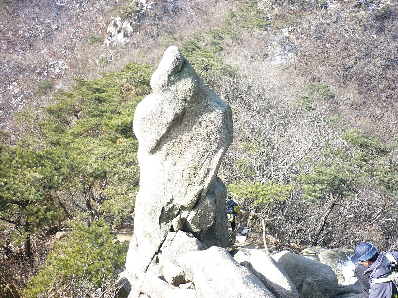
Gwanaksan combines mountain scenery with views over Seoul, giving photographers both natural and urban subjects. Higher ground can frame the city against green ridgelines, while forest paths offer textured scenes in softer morning light. Haze may reduce the clarity of distant buildings, so conditions matter as much as timing. Treat religious places respectfully and keep equipment secure on uneven ground. A small camera or phone is easier to manage during a sustained climb.
Checked 2026-08-26 · Source
Gwanaksan is in southern Seoul, South Korea, within the capital’s urban boundaries.
The mountain has forested slopes, rocky outcrops and hiking trails leading toward the summit.
The summit area provides views across Seoul and its surrounding green ridgelines.
Spring, summer, autumn and winter each offer different scenery, from fresh foliage to autumn colour and winter snow or ice.
Bring grippy hiking footwear, water, weather-appropriate layers and enough daylight for the return journey.
Yes. It offers a substantial outdoor experience inside Seoul and contrasts naturally with the city’s museums, streets and built-up neighbourhoods.
Loading the interactive map…
The interactive map could not be loaded.

Last updated:
Source: OpenStreetMap contributors, Wikidata ·