


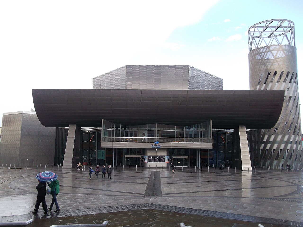
28 min walk
The Lowry
- Must see
- Art and culture venue

Nature site · Manchester
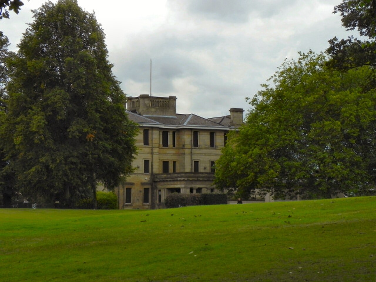
Buile Hill Park is a public park in Salford, Greater Manchester, part of the conurbation centred on Manchester. The park occupies a historic estate landscape with connections to the local area's development during the industrial era. It represents a significant example of Victorian park design within the northwest England region. The site serves as recreational green space for residents and visitors to the Manchester-Salford urban area. Its designation as a public park reflects longstanding municipal provision of open space. The park's heritage value lies in its landscape character and historical associations rather than built structures alone.
Checked 2026-08-26 · Source
The park contains landscaped grounds typical of Victorian municipal park design, including open grass areas suitable for informal recreation. Mature tree plantings constitute significant landscape elements. The terrain includes elevated sections providing views across the surrounding urban area. Path networks traverse the grounds, connecting different sections of the park. Historical estate features may survive within the landscape, though specific built structures require on-site verification. The park's interior character derives from its combination of designed landscape and natural regeneration over time. Wildlife habitat exists within the planted areas and undisturbed margins.
Checked 2026-08-26 · Source
Visitor duration depends on intended activity. Casual walking through the park's path network might occupy thirty to sixty minutes. Extended exploration of landscape features, photography, or picnicking could extend this to several hours. The park's size permits brief visits for local residents seeking green space access. Visitors travelling specifically to this location should assess whether their interests align with the park's offerings. Combination with other Salford or Manchester attractions would extend overall excursion duration. Self-directed pacing applies throughout. Weather conditions and daylight hours influence practical visit length, particularly given exposed elevated sections.
Checked 2026-08-26 · Source
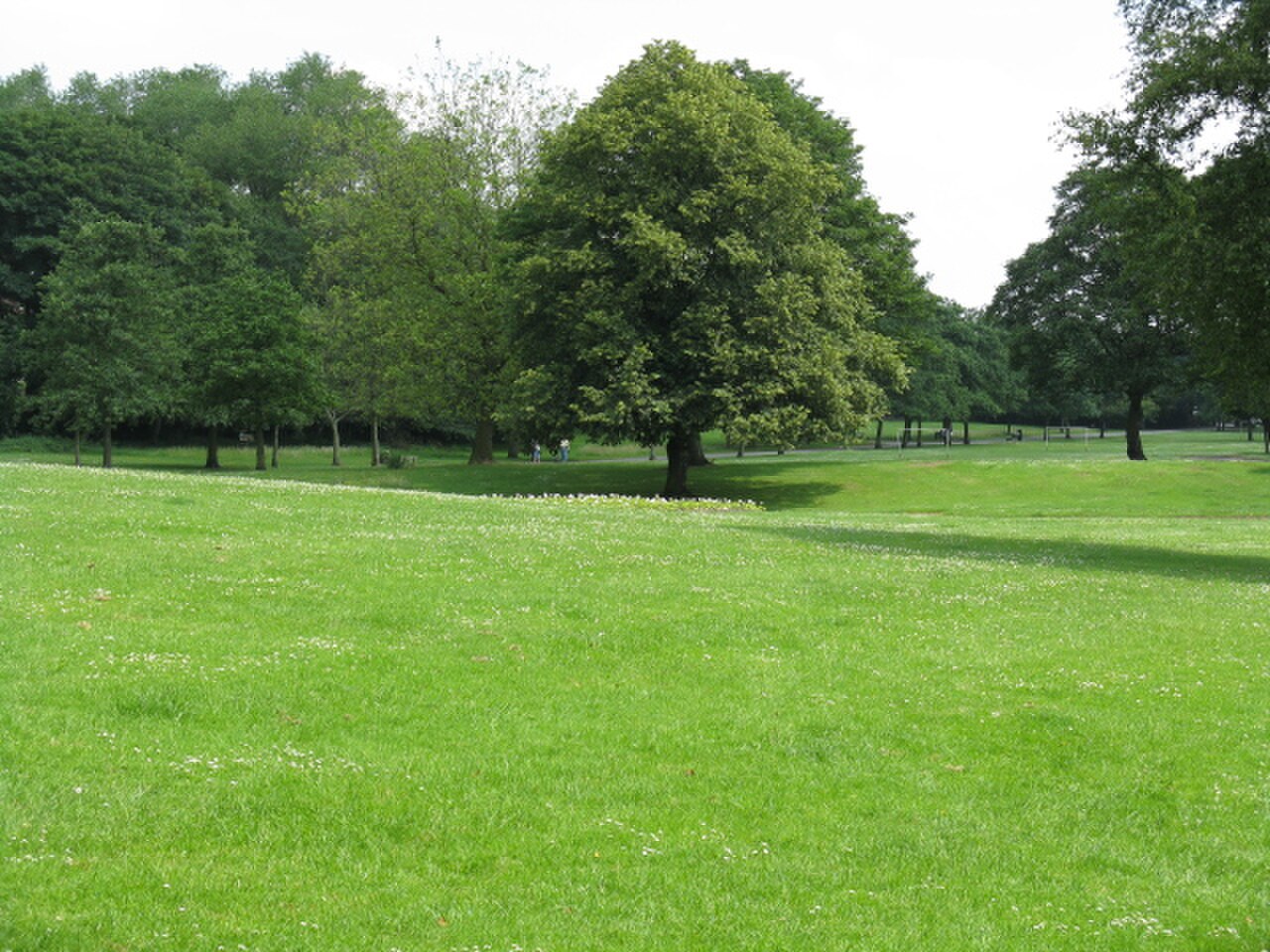
Seasonal variations affect experience quality, with spring and summer providing fuller tree canopy and longer daylight access. Autumn offers foliage colour in deciduous plantings. Winter visits encounter reduced hours of daylight and potentially muddy path conditions. Weekend and weekday patterns may differ in terms of visitor numbers and atmosphere. Local school term times influence family visitor presence. Weather protection is limited given the open landscape character. Visitors should verify current access arrangements through Salford City Council channels before planning.
Checked 2026-08-26 · Source
This follows standard UK local authority park provision models. Specific facilities within the park, if any operate separately, might incur charges, though none are documented. Parking arrangements near the park perimeter may involve fees or restrictions depending on adjacent street regulations. Public transport costs apply for visitors travelling to the location. Any future changes to access charging would be determined by Salford City Council budget decisions and policy frameworks.
Checked 2026-08-26 · Source

Buile Hill Park occupies a position in Salford accessible from Manchester city centre and surrounding districts. Public transport connections include bus services operating along adjacent roads, with stops within walking distance of park entrances. The Eccles line of the Manchester Metrolink tram system serves nearby areas, requiring onward connection. Cycling routes may serve the area given Manchester's expanding cycle infrastructure. Pedestrian access exists from surrounding residential areas. Visitors should consult current transport timetables and route planners, as services undergo periodic modification. Journey planning from Manchester centre involves westward travel toward Salford.
Checked 2026-08-26 · Source
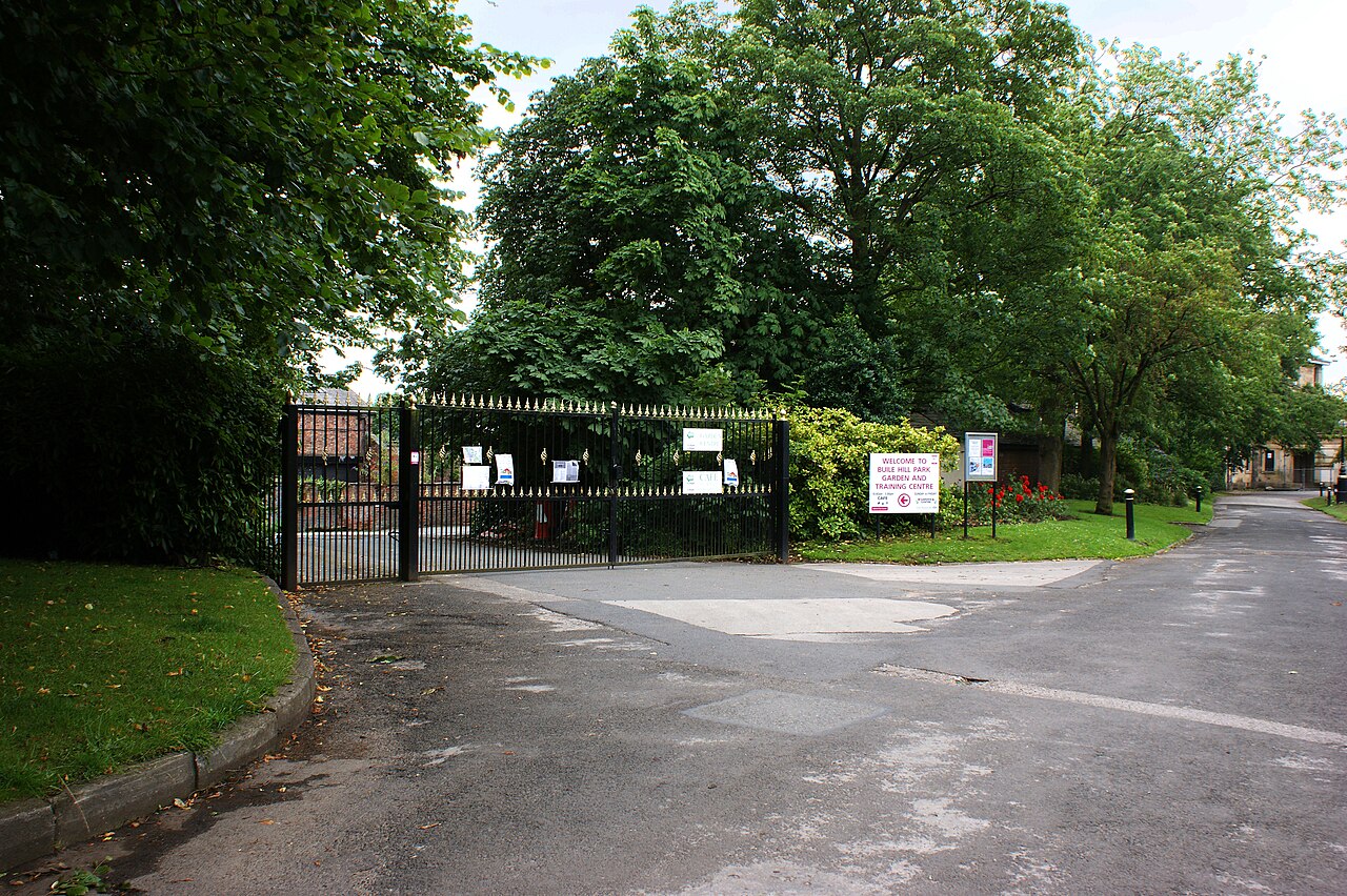
The park's elevated terrain and exposed sections create wind exposure and limited shelter during adverse weather. Path surfaces may become slippery or muddy following rainfall, affecting accessibility. Standard urban park precautions apply regarding personal belongings and awareness of surroundings, particularly during low-visitor periods. Lighting conditions vary, with reduced visibility in tree-shaded areas and after dusk. Wildlife encounters follow typical UK park patterns. Boundary areas adjacent to roads require caution. The park's size means some sections may be distant from immediate assistance. Visitors with mobility limitations should assess path conditions and gradients before extensive exploration. No specific hazards are documented, but general outdoor recreation prudence remains advisable.
Checked 2026-08-26 · Source
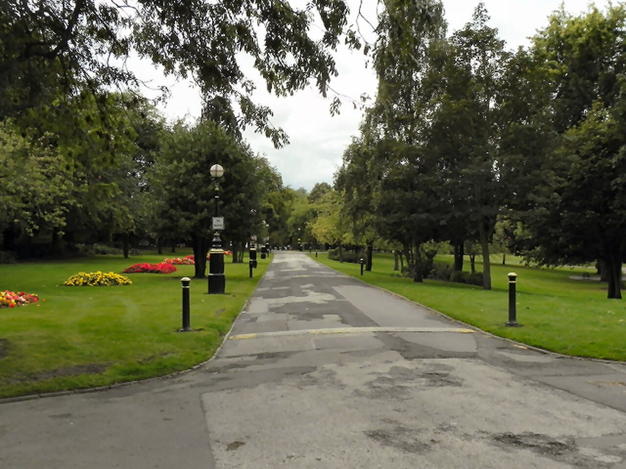
The park offers landscape photography opportunities combining designed parkland with urban backdrop views from elevated positions. Mature tree specimens provide seasonal interest subjects. Open grass areas permit wide-angle compositions of sky and land. The Victorian landscape design presents formal spatial qualities. Urban photography incorporating the Manchester-Salford skyline is possible from suitable vantage points. Natural lighting conditions vary significantly across seasons and times of day. Morning and evening periods offer angled illumination of terrain features. Overcast conditions typical to the region produce diffuse lighting reducing harsh shadows. No photography restrictions are documented, though standard respect for other visitors' privacy applies. Equipment security warrants attention in public spaces.
Checked 2026-08-26 · Source
The park is in Salford, which forms part of the Greater Manchester conurbation. Administrative boundaries place it within Salford's jurisdiction.
Public municipal parks in the UK typically operate without entry fees.
Bus services operate along adjacent roads. The Eccles Metrolink line serves nearby areas requiring onward connection. Current timetables should be consulted.
Visitors should verify current amenities through Salford City Council.
The elevated terrain and potential path surface conditions present challenges.
Visitors should observe any on-site signage.
Loading the interactive map…
The interactive map could not be loaded.

Last updated:
Source: OpenStreetMap contributors, Wikidata ·